

Rivers
Park geography
Mapped boundaries, terrain elevations, and regional environmental classifications
Comprehensive Geographic Profile of Kobuk Valley National Park in Alaska
The geographic profile of Kobuk Valley National Park details the park boundary across 7084.9 square kilometers within the Northwest Arctic Borough. This resource maps the internal river systems, including the Kobuk and Salmon rivers, while detailing the mixed relief of dunes, tundra, and boreal forest environments.
Related tags
Alaska national parksArctic ecosystemsSand dune landscapesCaribou migrationWilderness protection
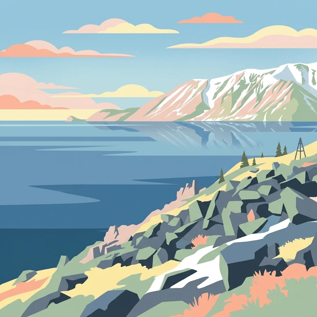
Arctic sand dunes and caribou migration corridor in northwestern Alaska
Kobuk Valley National Park
Kobuk Valley National Park is a vast protected area in northwestern Alaska, situated about 25 miles north of the Arctic Circle within the Northwest Arctic Borough. The park encompasses a broad wetlands valley formed by the Kobuk River as it flows along the southern edge of the Baird Mountains, part of the western Brooks Range. What makes this park truly distinctive is the presence of the Great Kobuk Sand Dunes, the largest active Arctic dune field in North America, which are remnants of much larger dune systems that covered hundreds of thousands of acres following the retreat of Pleistocene glaciation. The park also protects critical migration routes for the Western Arctic caribou herd, one of the largest caribou herds in North America, whose annual crossing of the Kobuk River has supported Inupiat subsistence hunting for thousands of years. At nearly 1.75 million acres, the park is slightly larger than the state of Delaware and ranks among Alaska's eight national parks.
- Location
- United States of America
- Park type
- National park
- Established
- 1980
- Area
- 7,084.9 km²
Location overview
Administrative positioning within the Northwest Arctic Borough of Alaska
Kobuk Valley National Park Geographic Placement and Regional Location
Kobuk Valley National Park is located within the Northwest Arctic Borough of Alaska in the United States of America. Geographic records confirm a fully interior, non-transboundary status for the protected northern territory.
- Countries
- United States of America
- Regions
- Alaska, Northwest Arctic Borough
- Primary location
- Northwest Arctic Borough
- Geographic setting
- Inland
Boundary and coordinates
Mapped spatial geometry and derived regional area metrics
Kobuk Valley National Park Boundary Map and Geographic Extent
Interactive boundary geometry outlines the spatial footprint and regional context for the protected area. Accompanying measurements supply calculated area metrics, coordinate limits, and geographic spans without claiming legal survey precision.
- Boundary area
- 7,096.4 km²
- Boundary perimeter
- 514.1 km
- Northernmost point
- 67.8709° N
- Southernmost point
- 66.9118° N
- Easternmost point
- 157.8298° W
- Westernmost point
- 160.2964° W
- Geographic centre
- 67.3532° N, 159.199° W
- North–south span
- 107 km
- East–west span
- 105.9 km
Elevation and terrain
Mixed relief topography and recorded natural water features
Kobuk Valley National Park Terrain and Elevation Profile
Explore the recorded elevation summary and mixed terrain characteristics for Kobuk Valley National Park. Detailed feature cards display names, types, and spatial relationships for streams, rivers, and peaks located within the protected area.
- Minimum elevation
- 4 m
Selected named natural features
Streams
Akiak River
Rivers
Akillik River
Peaks
Mount Angayukaqsraq
1,411 m
Rivers
Akiak Creek
Streams
Nekakte Creek
Environmental setting
Subpolar climate zones, mixed relief, and major water presence across northern terrain
Kobuk Valley National Park Environmental Classifications and Physical Setting
Stored landscape features, habitat types, and seasonal classifications frame the physical setting of Kobuk Valley National Park as broad interpretive categories. Recorded environmental attributes connect directly to relevant atlas destinations across the protected landscape.
- Relief
- Mixed relief
- Climate
- Subpolar
- Water
- Major water bodies
- Forest cover
- Partial forest
- Seasonality
- Strongly seasonal
Landscape features
Dunes · Wetland · Valleys · Rivers · Mountains · Glacier · Forest · Tundra
Habitat types
Boreal forest · Tundra habitat · Wetland · Glacial habitat · Riverine habitat · Dune habitat
Park atlas
Discover other Arctic protected landscapes and mapped park geography in northwestern Alaska, comparing unique wilderness environments.
Explore Nearby National Parks and Protected Areas Beyond Kobuk Valley National Park, Alaska
Continue exploring the diverse protected areas surrounding Kobuk Valley National Park, including vast wilderness regions and unique Arctic ecosystems across northwestern Alaska. Compare these national parks and conservation landscapes to understand the broader geographic context and distinct features of the region's protected wild spaces.
National parkAlaska
About 197 km away#1 closest
East

Gates of the Arctic National Park and Preserve: Alaska's Remote Protected Landscape
Explore mapped park boundaries and regional geographic context.
Delve into the protected landscape of Gates of the Arctic National Park and Preserve, a vast national park situated in Alaska. This entry offers a detailed perspective on its geographic setting, focusing on mapped boundaries and its significance as a protected area. Understand the scale and natural context of this remote wilderness for comprehensive atlas-based exploration.
- Area
- 34,287 km²
- Established
- 1978
- IUCN
- V
- Visitors
- 11.9K annual
Wildlife reserveAlaska
About 431 km away#2 closest
South
Innoko Wilderness: Geographic Profile and Protected Landscape of Interior Alaska
Subarctic wilderness tracking wetlands and boreal transitions
Spanning over one million acres in the Alaskan interior, Innoko Wilderness offers a unique look at a sprawling subarctic ecosystem. Dominated by muskeg, interconnected lakes, and the floodplains of the Yukon and Innoko Rivers, this protected area functions as a critical transition zone between interior forests and western tundra landscapes.
- Area
- 5,000 km²
- Established
- 1980
- IUCN
- Ib
- Relief
- Lowland
National parkChukotka Autonomous Okrug
434 km away#3 closest
West

Beringia National Park: Arctic Tundra and Mountain Landscape Discovery in Chukotka
Explore protected boundaries and subarctic geographic features
Beringia National Park offers an expansive look at the subarctic ecosystems of the Chukchi Peninsula. This protected area preserves a unique terrain characterized by low-lying tundra plains and dramatic mountain ridges. Its position along the Bering Strait provides significant geographic context for understanding northern land connections and the remnants of ice age migrations within the Russian Arctic wilderness.
- Area
- 30,532 km²
- Established
- 2013
- IUCN
- II
- Relief
- Mixed relief
National parkAlaska
About 542 km away#4 closest
Southeast
Denali National Park and Preserve: Detailed Protected Landscape and Map Exploration in Alaska
Explore its mapped boundaries and Alaskan regional geography.
Understand Denali National Park and Preserve as a distinct protected landscape within Alaska's vast geography. This park detail page offers insights into its mapped boundaries, natural terrain, and its contribution to the regional atlas of protected areas. Discover the geographic context that defines this significant national park, providing a foundation for detailed map-based exploration and understanding of its conservation significance.
- Area
- 24,464 km²
- Established
- 1917
- IUCN
- V
- Visitors
- 427.6K annual
National parkChukotka Autonomous Okrug
About 676 km away#5 closest
Southwest
Beringia National Park: Arctic Tundra and Coastal Protected Area in Chukotka
Geography of the Russian Far East and Bering Strait
Beringia National Park protects a sprawling network of Arctic tundra, dramatic shoreline, and isolated islands within the Chukotka Autonomous Okrug. The area maps the unique environmental transition between Siberia and the Bering Strait, highlighting a complex landscape of river basins and coastal cliffs that support diverse Arctic wildlife and migratory populations.
- Area
- 18,194.5 km²
- Established
- 1993
- IUCN
- II
- Relief
- Lowland
National parkAlaska
About 709 km away#6 closest
Southeast
Lake Clark National Park and Preserve National Park: Alaska's Protected Landscape Discovery
Mapping the geographic context and protected park boundaries.
Lake Clark National Park and Preserve stands as a protected national park in Alaska, offering a distinct geographic identity for atlas exploration. Delve into its role as a protected landscape, examining its mapped presence within the Alaskan region. This resource provides structured insights into the park's protected area status and its contribution to the understanding of natural terrain and regional geography.
- Area
- 16,308.9 km²
- Established
- 1980
- IUCN
- V
- Visitors
- 19.8K annual
National parkYukon
712 km away#7 closest
East

Vuntut National Park: Yukon National Park Protected Area Map Exploration
Understanding its mapped protected boundaries and regional geography.
Delve into the specifics of Vuntut National Park, a designated national park situated within the Yukon region. This detail offers a focused look at its protected landscape identity, providing critical context for its geographic boundaries and role as a mapped natural area. Users can explore the core attributes of Vuntut National Park to enrich their understanding of its contribution to the protected lands atlas and regional geography.
- Area
- 4,345 km²
- Established
- 1995
- IUCN
- II
- Relief
- Lowland
National parkYukon
713 km away#8 closest
Northeast
Ivvavik National Park: Yukon National Park Protected Landscape and Geography
Explore mapped boundaries and regional context.
Ivvavik National Park is a designated national park within Yukon, representing a significant protected landscape. This page offers a focused exploration of its geographic identity, mapped boundaries, and its place within the broader atlas of Canada's natural areas. Understand Ivvavik National Park as a defined entity contributing to the regional geography and protected land distribution of Yukon.
- Area
- 10,168 km²
- Established
- 1984
- IUCN
- II
- Visitors
- 179 annual
MoriAtlas Explorer
Continue Exploring Kobuk Valley National Park's Geography and Map Boundaries
Deepen your understanding of Kobuk Valley National Park by exploring its specific geographic features and mapped protected areas. This national park offers a unique lens for examining regional landscape context and natural terrain. Continue your atlas discovery to see how Kobuk Valley National Park contributes to the broader mapped geography of Alaska's protected lands.
Browse next
Global natural geography
Explore related park routes
Explore MoriAtlas Global ParksBrowse All MoriAtlas ParksGlobal Park Map DiscoveryMoriAtlas: Browse All CountriesBrowse All MoriAtlas ContinentsNational Park Environment AtlasGrand Canyon National Park AtlasYellowstone National Park AtlasYosemite National Park Atlas and GeographySerengeti National Park AtlasGalápagos National Park Protected LandscapeBanff National Park Geography and AtlasKruger National Park Atlas EntryUluṟu-Kata Tjuṯa National Park AtlasExplore Uluru-Kata Tjuta National Park GeographyPlitvice Lakes National Park AtlasFiordland National Park Protected LandscapeGreat Smoky Mountains National Park AtlasAfghanistan National Parks and Protected AreasAlbania National Parks and Protected AreasAlgeria National Parks and Protected AreasAmerican Samoa National Parks and Protected AreasAndorra National Parks and Protected AreasAngola National Parks and Protected AreasAntarctica National Parks and Protected AreasAntigua and Barbuda Park List