

Rivers
Park geography
A comprehensive analysis of mountain relief, hydrography, and regional land coverage
Detailed Geographic Profile and Mapped Boundaries of Kolsay Lakes National Park, Kazakhstan
This geographic profile covers the 1619 square kilometer area of Kolsay Lakes National Park in the Almaty Region. It features structured data on elevation gradients from 1818 meters to 2850 meters, along with a synthesis of mountain valleys, alpine meadows, and lacustrine river systems defining the Boreal landscape.
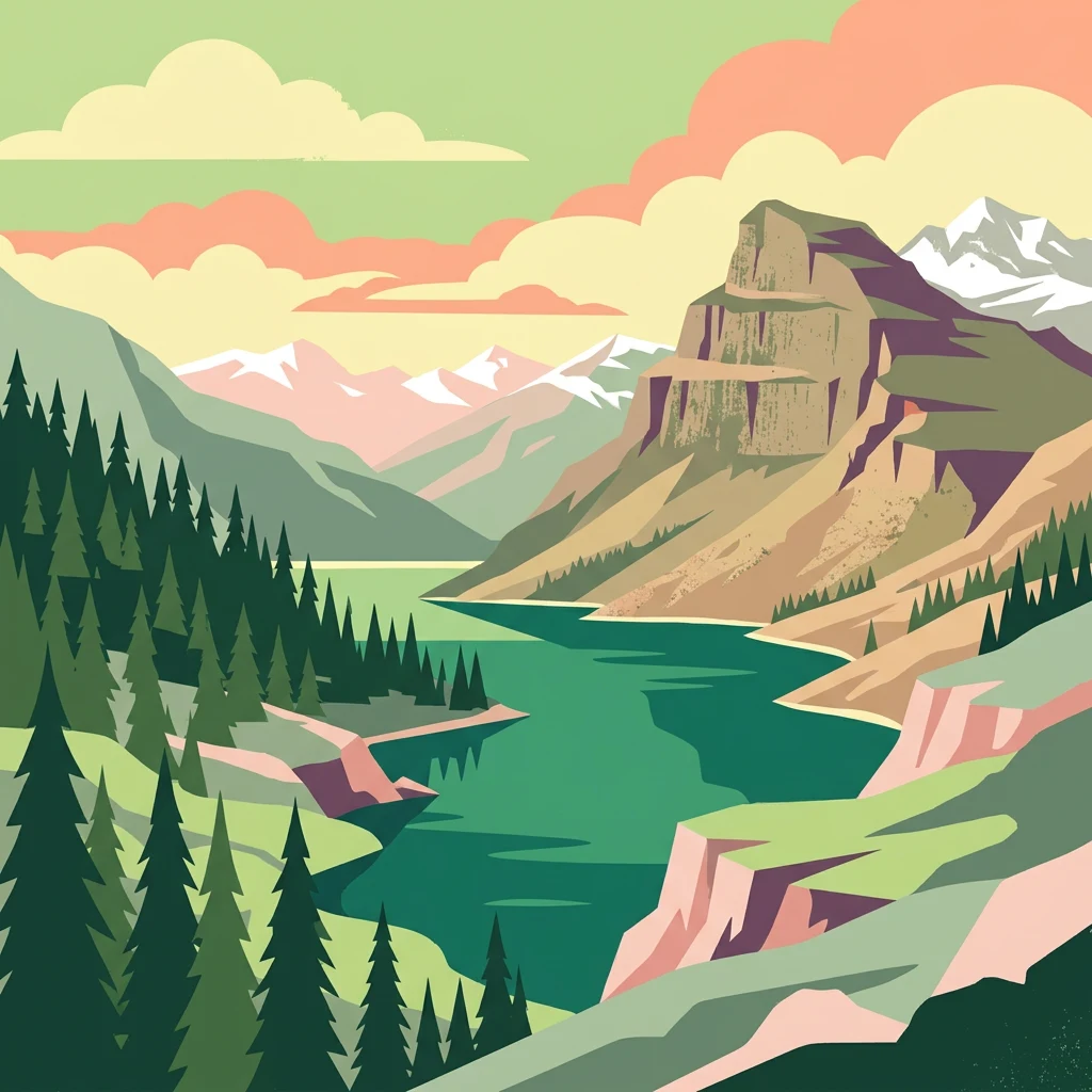
Alpine lake chain in the Tian Shan Mountains
Kolsay Lakes National Park
Kolsay Lakes National Park is a protected mountain landscape in southeastern Kazakhstan, situated on the north slope of the Tian Shan range approximately 120 kilometers southeast of Almaty. The park encompasses a dramatic chain of three alpine lakes—Upper, Middle, and Lower Kolsay—along with the strikingly beautiful Lake Kaindy, all formed by ancient landslides and earthquakes. Often described as the "Pearls of Tien Shan," this protected area spans 161,945 hectares of mountainous terrain straddling the border region between Kazakhstan and Kyrgyzstan. The park was established in 2007 under the management of Kazakhstan's Committee of Forestry and Fauna and holds IUCN Category II status. Its ecological significance is recognized internationally through inclusion in the UNESCO World Network of Biosphere Reserves.
- Location
- Kazakhstan
- Park type
- National park
- Established
- 2007
- Area
- 1,619 km²
Location overview
National and regional placement within the Almaty Region
Geographic Location of Kolsay Lakes National Park in Kazakhstan
Kolsay Lakes National Park is situated entirely within the Almaty Region of Kazakhstan. The reserve maintains a strictly inland status as a non-transboundary territory with no coastal or marine boundaries.
- Countries
- Kazakhstan
- Regions
- Almaty Region
- Primary location
- Almaty Region
- Geographic setting
- Inland
Boundary and coordinates
A 1,619 km² outline with geographic extent context
Kolsay Lakes National Park mapped boundary and area
Kolsay Lakes National Park’s mapped footprint covers a documented 1,619 km². This geometry helps readers appreciate the national park’s broad extent, while authoritative records govern its precise limits.
- Boundary area
- 1,580.9 km²
- Boundary perimeter
- 308.6 km
- Northernmost point
- 43.0817° N
- Southernmost point
- 42.8476° N
- Easternmost point
- 78.5916° E
- Westernmost point
- 77.3888° E
- Geographic centre
- 42.9659° N, 78.0002° E
- North–south span
- 26 km
- East–west span
- 98.1 km
Elevation and terrain
Mountain relief metrics and mapped natural land features
Kolsay Lakes National Park Terrain and Elevation Range
Recorded elevation ranges span from eighteen hundred to twenty-eight hundred meters across the protected mountainous terrain. Linked feature cards supply names, types, measurements, and spatial relationships for recorded regional waterways, ridges, and glaciers.
- Minimum elevation
- 1,818 m
- Maximum elevation
- 2,850 m
Selected named natural features
Rivers
Шұқыршақ
Rivers
Қарқымбай
Streams
Құрменті
Glaciers
№103
Rivers
Өтеңсай
Environmental setting
Boreal mountain relief, alpine meadows, and major lacustrine networks
Kolsay Lakes National Park Environmental Classifications and Physical Setting
Recorded habitat types, relief profiles, and water presence categories offer complementary frameworks for reading physical terrain. Connected classification groups link individual environmental records directly to relevant atlas destinations.
- Relief
- Mountain
- Climate
- Boreal
- Water
- Major water bodies
- Forest cover
- Partial forest
- Seasonality
- Seasonal
Landscape features
Mountains · Valleys · Lakes · Rivers · Forest · Woodland · Grassland
Habitat types
Temperate coniferous forest · Montane forest · Alpine meadow · Grassland · Riverine habitat · Lacustrine habitat
Park atlas
Map the broader network of protected areas, revealing the geographic context of the Tian Shan mountains and surrounding regions.
Explore Nearby National Parks and Protected Areas Beyond Kolsay Lakes National Park
From Kolsay Lakes National Park, trace the geographic spread of other national parks and protected areas across the Tian Shan mountain range and surrounding Kazakh landscapes. This allows for direct comparison of diverse alpine environments, understanding regional conservation efforts, and expanding your atlas-based discovery of Central Asian terrain.
National parkAlmaty Region
About 28 km away#1 closest
West

Ile-Alatau National Park: Protected Landscape Atlas and Almaty Region Geography
Mapped boundaries, diverse ecosystems, and mountain wilderness.
Ile-Alatau National Park is a key protected area in the Almaty Region of Kazakhstan, preserving a vast expanse of the Tian Shan mountain system. This national park showcases a dramatic vertical landscape, encompassing everything from lowland woodlands and relict spruce forests to expansive alpine meadows and glacial terrains. Its mapped boundaries define critical habitat for diverse wildlife and offer a profound insight into the complex ecological dynamics of high-altitude environments, making it an essential destination for atlas-based geographic discovery.
- Area
- 2,000 km²
- Established
- 1996
- IUCN
- II
- Relief
- Mixed relief
National parkAlmaty Region
42 km away#2 closest
Northeast
Charyn National Park: Protected Landscape Atlas and Mapped Terrain in Almaty Region
Explore its dramatic canyons and ancient Sogdian ash groves.
Charyn National Park offers a compelling exploration of Central Asia's dramatic natural heritage, centered around its spectacular canyon system. This protected area, situated in Kazakhstan's Almaty Region, features towering red rock walls and unique geological formations carved by the Charyn River. The park is also notable for preserving one of the world's northernmost stands of ancient Sogdian ash trees, a vital link to prehistoric ecosystems. Users can discover the park's mapped boundaries, diverse terrain, and distinct landscape features, making it a key destination for geographic and atlas-based discovery.
- Area
- 1,250 km²
- Established
- 2004
- IUCN
- II
- Relief
- Mountain
State or regional parkKyrgyzstan
About 57 km away#3 closest
West

Chong-Kemin Nature Park: Mapped Protected Landscape in Kyrgyzstan's Tian Shan Mountains
State or Regional Park with Alpine Valleys and Glacial Lakes
Chong-Kemin Nature Park offers a rich geographic exploration of Kyrgyzstan's Tian Shan mountain region. This state or regional park encompasses approximately 123,564 hectares, defined by the extensive Chong-Kemin River valley and seven glacial lakes. Its landscape provides crucial habitat within a protected area, showcasing alpine terrain and river ecosystems. Users interested in mapped protected areas and regional park geography will find Chong-Kemin Nature Park a key point for understanding Kyrgyzstan's natural heritage.
- Area
- 1,235.64 km²
- Established
- 1997
- Relief
- Mountain
- Climate
- Alpine
National parkKyrgyzstan
About 61 km away#4 closest
South
Karakol State Nature Park: Kyrgyzstan National Park Atlas and Mapped Protected Landscape
Explore the geographic context and mapped boundaries of this Kyrgyz national park.
Delve into Karakol State Nature Park, a designated national park contributing to Kyrgyzstan's rich protected lands catalog. This entry provides essential details for understanding its protected landscape identity, its geographic setting within the Central Asian mountains, and its mapped presence within a broader atlas of natural areas. Discover the park's unique role as a mapped conservation zone and its contribution to regional geographic context.
- Area
- 380.95 km²
- Established
- 1997
- Relief
- Mountain
- Scope
- Terrestrial
National parkAlmaty Region
84 km away#5 closest
North
Altyn-Emel National Park: A Protected Landscape of Singing Dunes and Lunar Mountains
Explore unique geological wonders and ancient Saka history.
Discover Altyn-Emel National Park, a prominent national park located in Kazakhstan's Almaty Region. This protected area showcases an extraordinary diversity of landscapes, from the echoing Singing Dunes to the otherworldly Aktau mountains, often referred to as the 'lunar mountains' due to their vivid mineral hues. As a vital conservation zone, it safeguards Central Asian steppe ecosystems and significant Iron Age archaeological sites, offering a rich tapestry of natural beauty and historical depth for atlas exploration.
- Area
- 4,600 km²
- Established
- 1996
- IUCN
- II
- Relief
- Mixed relief
Natural monumentAlmaty Region
About 88 km away#6 closest
Northeast
Charyn Ash Grove Natural Monument and Riparian Forest Landscape in Almaty Region
Protected botanical relic in the Kazakhstan steppe
Charyn Ash Grove preserves a rare population of river-loving Sogdian ash trees within the arid landscape of southeastern Kazakhstan. This protected natural monument traces the moisture-rich corridors of the Charyn and Temirlik rivers, creating a vivid riparian ribbon surrounded by rugged semi-desert terrain and ancient archaeological features that define the regional geography.
- Area
- 48.55 km²
- Established
- 1964
- IUCN
- III
- Relief
- Lowland
Natural monumentAlmaty Region
About 88 km away#7 closest
North
Singing Dune (Поющий бархан) Natural Monument in the Almaty Region of Kazakhstan
A stationary desert landmark within the Dzungarian Alatau foothills.
Singing Dune (Поющий бархан) is a prominent geological landmark in the Altyn-Emel National Park of the Almaty Region. This massive sand barchan, anchored between two mountain ridges, is recognized for its unique ability to produce resonant organ-like sounds. The surrounding terrain blends arid desert dunes with the striking silhouettes of the Dzungarian Alatau foothills and the distant Ili River valley.
- Relief
- Upland
- Scope
- Terrestrial
- Water
- Minor water
State or regional parkKyrgyzstan
About 142 km away#8 closest
Southeast
Khan-Tengri State Nature Park: Kyrgyzstan State or Regional Park Atlas Exploration
Explore protected landscapes and geographic context.
Khan-Tengri State Nature Park is a designated protected area in Kyrgyzstan, offering unique insights into the region's mountainous geography. This page serves as a detailed atlas entry, highlighting the park's protected landscape characteristics, its mapped boundaries, and its place within the broader natural terrain of Central Asia. Understand the geographic identity of this state or regional park and its contribution to conservation landscapes.
- Area
- 2,758 km²
- Established
- 2016
- Relief
- Mountain
- Access
- Remote access
MoriAtlas Explorer
Continue Exploring Kolsay Lakes National Park's Protected Mountain Landscape
Dive deeper into the atlas-driven discovery of Kolsay Lakes National Park's unique geographic features and protected landscape context. Understand the terrain, mapped boundaries, and regional setting of this spectacular national park, which serves as a gateway to appreciating Central Asia's dramatic mountain geography.
Browse next
Global natural geography
Explore related park routes
Explore MoriAtlas Global ParksBrowse All MoriAtlas ParksGlobal Park Map DiscoveryMoriAtlas: Browse All CountriesBrowse All MoriAtlas ContinentsNational Park Environment AtlasGrand Canyon National Park AtlasYellowstone National Park AtlasYosemite National Park Atlas and GeographySerengeti National Park AtlasGalápagos National Park Protected LandscapeBanff National Park Geography and AtlasKruger National Park Atlas EntryUluṟu-Kata Tjuṯa National Park AtlasExplore Uluru-Kata Tjuta National Park GeographyPlitvice Lakes National Park AtlasFiordland National Park Protected LandscapeGreat Smoky Mountains National Park AtlasAfghanistan National Parks and Protected AreasAlbania National Parks and Protected AreasAlgeria National Parks and Protected AreasAmerican Samoa National Parks and Protected AreasAndorra National Parks and Protected AreasAngola National Parks and Protected AreasAntarctica National Parks and Protected AreasAntigua and Barbuda Park List