Peaks
Čertova pláň
974 m

A detailed look at the physical geography, elevation range, and diverse terrain within this mountain range.
This structured geographic profile details the physical scope of Krkonoše National Park, covering a recorded area of 363.52 square kilometers spanning across the Liberec and Hradec Králové regions of Czechia. Users can analyze boundary extents, terrain elevations ranging from 413 to 1603 meters, and a variety of habitats including mountain peaks, peatlands, and riverine landscapes.
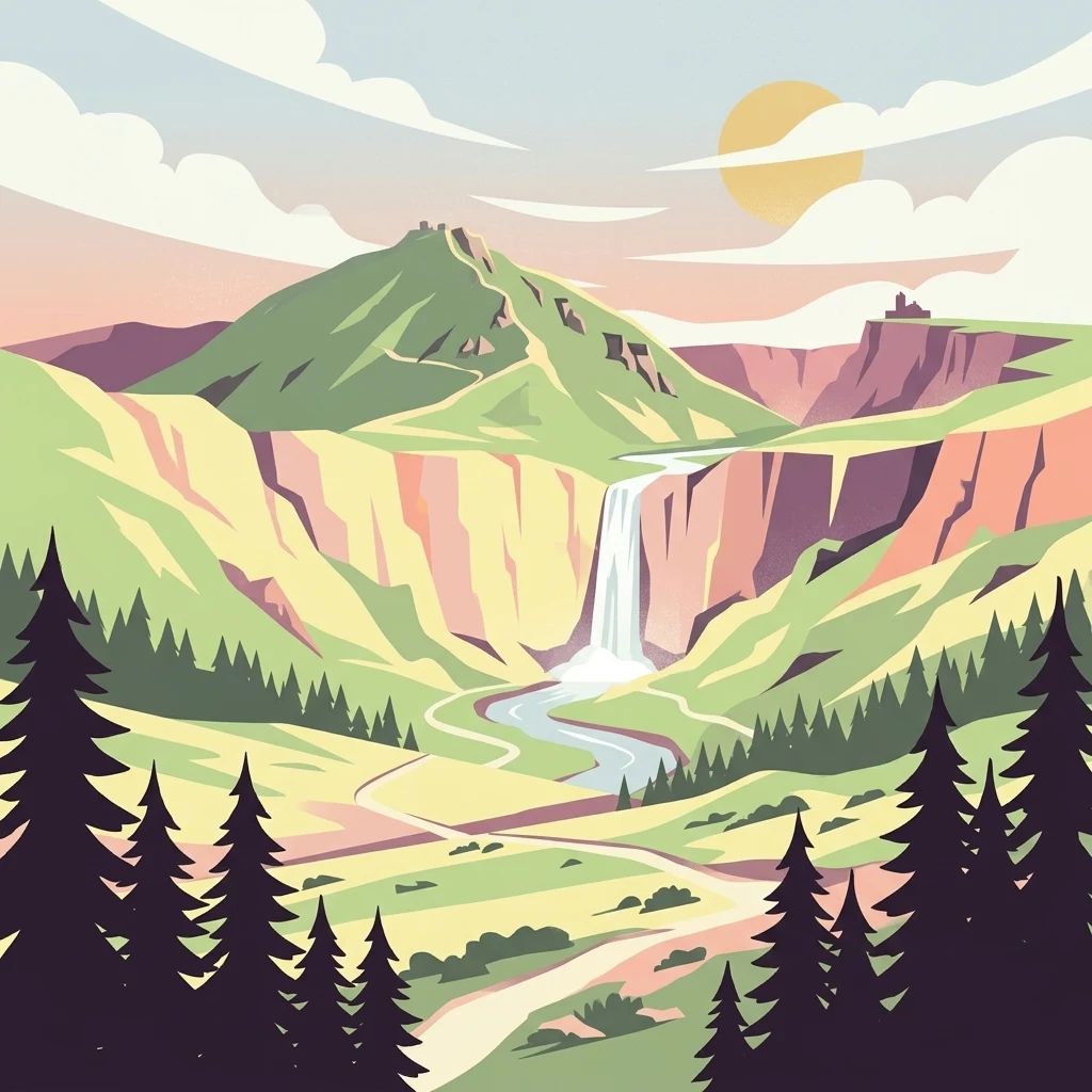
Czech Republic's highest mountain range protecting Alpine ecosystems and glacial relicts
Krkonoše National Park protects the Giant Mountains, the highest range in the Czech Republic and a prominent mountain system of Central Europe. Established in 1963, it is the oldest national park in the Czech Republic, spanning approximately 363 square kilometers along the border with Poland. The park's signature landmark is Sněžka, rising to 1,603 meters and serving as the country's highest peak. The landscape bears the unmistakable imprint of past glaciations, featuring dramatic cirques, glacial valleys, moraines, and distinctive blockfield formations. Beyond its geological heritage, the park harbors remarkable biodiversity including numerous glacial relict plant species that have survived since the last ice age, making it a living laboratory of alpine ecology. The protected area forms a transboundary conservation unit with Poland's Karkonosze National Park and has been recognized as a UNESCO Biosphere Reserve since 1992.
Regional jurisdictions and transboundary status of the protected landscape
Interactive boundary geometry and calculated spatial metrics
Vertical relief metrics and recorded natural landscape features
Peaks
974 m
Peaks
896 m
Peaks
968 m
Islands
Viewpoints
Peaks
1,036 m
Recorded landscape features, habitat types, and boreal climate zones
Mountains · Valleys · Forest · Grassland · Wetland · Rivers · Waterfalls · Cliffs
Temperate broadleaf forest · Temperate coniferous forest · Montane forest · Alpine meadow · Grassland · Peatland · Riverine habitat
Compare protected landscapes and mapped geography in the surrounding Giant Mountains region.
Northwest

High-mountain landscapes in the Dolnośląskie Voivodeship
Trace the diverse geography of Karkonoski Park Narodowy, where granite blockfields and glacial cirques define the high-altitude terrain. This protected area represents one of Central Europe's most significant upland ecosystems, showcasing a vertical transition from dense forest to alpine tundra.

Northwest
Discover alpine terrain and unique glacial landscapes.
Karkonosze National Park is a significant protected area in Poland, renowned for its dramatic alpine topography carved by ancient glaciers. As the highest range in the Polish Sudetes, it features striking U-shaped valleys, U-shaped glacial cirques, and diverse subalpine to alpine ecosystems. This national park provides a rich context for understanding Central European mountain geography and exploring its mapped protected boundaries.
Southeast

Meadow-rich valley ecosystems in the Krkonoše foothills
Sklenářovické údolí stands as a significant protected natural monument in the Královéhradecký kraj region. Its geography consists of a deeply carved stream valley that shelters an unusually high concentration of rare orchid species and sensitive wetland habitats. The area provides a clear look at historical land-use restoration, where meadow and forest boundaries are maintained to protect diverse raptor nesting grounds and fragile montane flora within the broader Czech landscape network.
Southwest
Ecological mosaic and regional floodplain habitat in Královéhradecký kraj
Vejsplachy serves as a significant natural monument, preserving a rare convergence of ash and alder floodplain forest, wet thistle meadows, and aquatic reedbeds. Located on the edge of the town of Vrchlabí, this 3.34 hectare protected area offers a deep look into the geomorphology of the Královéhradecký kraj foothills and the delicate balance of surviving wetland habitats in a changing landscape.
South
A forested hill-country protected area in Trutnov District
Přírodní park Hrádeček is a regional protected landscape characterized by a compact cluster of forested summits and traditional Bohemian countryside. Located in the Trutnov District, this area features a distinctive bowl-shaped topography anchored by the ruins of Břecštejn castle, offering a clear example of protected hill-forest and rural mosaic environments within the eastern Giant Mountains foothills.
West
Highland spruce forests and granite outcrops in the Liberec Region
Investigate the summit geomorphology of Prales Jizera, a vital protected area encompassing rare climax spruce forest and granite blockfields. This record provides detailed geographic context on the reserve's unique soil, hydrological watershed position, and its role as a landmark conservation site in the Jizera Mountains.
West
A rare summit peat bog and granite mountain plateau in Czechia.
Na kneipě serves as a preserved natural monument in the Czech Jizera Mountains, characterized by its rare summit mire and dense mountain pine coverage. Situated on a modest granite plateau, the area functions as a key hydrological hub that sustains surrounding upland habitats. This site provides essential context for understanding the high-elevation mire ecosystems and protected terrain found across northern Bohemia.
West
High-elevation peatland and mountain habitat geography
Vlčí louka serves as a prime example of a high-altitude raised bog located along the Smědavská hora ridge. This protected area supports a diverse suite of peatland plants and serves as a vital refuge for mountain birds. By studying its unique terrain, mapped boundaries, and position within the Jizera Mountains, users gain a deeper understanding of this specialized, elevated ecosystem in the Czech Republic.
Deepen your understanding of Krkonoše National Park by exploring its detailed geographic features, mapped boundaries, and the unique alpine environment it preserves. This national park offers critical insights into glacial geomorphology and the conservation of Central European mountain ecosystems. Utilize MoriAtlas to navigate its protected landscape context and discover its significance within the broader regional geography.