Mori Atlas logo
Park geography

A detailed look at the physical geography, elevation range, and diverse terrain within this mountain range.

Krkonoše National Park: geography

Location: Liberec Region, Czech Republic. Recorded area: 363.52 km². Elevation: 413–1,603 m.

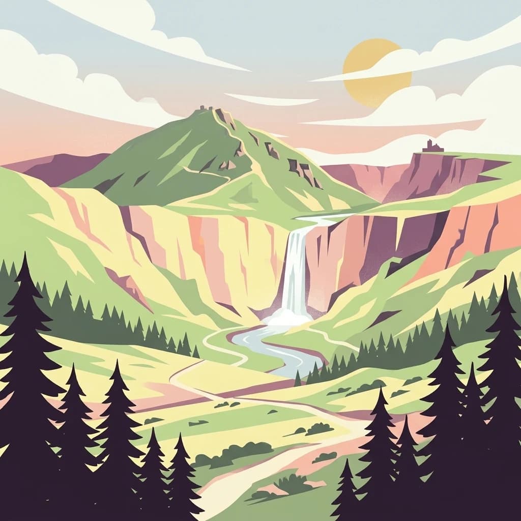
Illustration of a mountain landscape with waterfall, river, forests, and mountains under a sunlit sky

Czech Republic's highest mountain range protecting Alpine ecosystems and glacial relicts

Krkonoše National Park

Krkonoše National Park protects the Giant Mountains, the highest range in the Czech Republic and a prominent mountain system of Central Europe. Established in 1963, it is the oldest national park in the Czech Republic, spanning approximately 363 square kilometers along the border with Poland. The park's signature landmark is Sněžka, rising to 1,603 meters and serving as the country's highest peak. The landscape bears the unmistakable imprint of past glaciations, featuring dramatic cirques, glacial valleys, moraines, and distinctive blockfield formations. Beyond its geological heritage, the park harbors remarkable biodiversity including numerous glacial relict plant species that have survived since the last ice age, making it a living laboratory of alpine ecology. The protected area forms a transboundary conservation unit with Poland's Karkonosze National Park and has been recognized as a UNESCO Biosphere Reserve since 1992.

Location
Czechia
Park type
National park
Established
1963
Area
363.5 km²
Highest point
1,603 m
Krkonoše National Park Protected Area
Location overview

Regional jurisdictions and transboundary status of the protected landscape

Geographic Positioning of Krkonoše National Park in Czechia

Krkonoše National Park is situated in Czechia within the Hradec Králové and Liberec regions. The transboundary protected area connects regional jurisdictions across national borders.
Countries
Czechia
Regions
Hradec Králové Region, Liberec Region
Primary location
Liberec Region
Geographic setting
Transboundary · Inland
Boundary and coordinates

Interactive boundary geometry and calculated spatial metrics

Krkonoše National Park Boundary Map and Spatial Extent

Mapped park outlines provide immediate spatial context for regional orientation and layout analysis. Accompanying numerical facts detail surface area, perimeter dimensions, and geographic coordinate spans.
Boundary area
549.7 km²
Boundary perimeter
146.5 km
Northernmost point
50.8091° N
Southernmost point
50.5785° N
Easternmost point
15.9091° E
Westernmost point
15.3576° E
Geographic centre
50.6916° N, 15.6352° E
North–south span
25.7 km
East–west span
39 km
Krkonošský národní park
Elevation and terrain

Vertical relief metrics and recorded natural landscape features

Krkonoše National Park Elevation Range and Mountain Terrain Geography

Recorded elevation ranges span from 413 meters to a high point of 1603 meters across this mountain protected area. Associated feature cards document specific peaks, streams, and viewpoints located within the terrain.
Elevation ranges from 413 m to 1,603 m, an elevation span of 1,190 m.

Elevation span

1,190 m

Vertical extent from the lowest to the highest recorded elevation in the park

Minimum elevation
413 m
Maximum elevation
1,603 m
Highest point
1,603 m

Selected named natural features

Peaks

Čertova pláň

974 m

Peaks

Kobyla

896 m

Peaks

Vídeňská skála

968 m

Islands

(Poniklá)

Viewpoints

Vyhlídka Horník

Peaks

Zadní Žalý

1,036 m

Environmental setting

Recorded landscape features, habitat types, and boreal climate zones

Krkonoše National Park Environmental Classifications and Physical Setting

Stored landscape features, habitat types, and relief attributes function as complementary ways to read the physical setting of Krkonoše National Park. Recorded categories connect directly to relevant atlas destinations across mountain terrain, partial forests, and alpine meadows.
Relief
Mountain
Climate
Boreal
Water
Minor water
Forest cover
Partial forest
Seasonality
Year-round

Landscape features

Mountains · Valleys · Forest · Grassland · Wetland · Rivers · Waterfalls · Cliffs

Habitat types

Temperate broadleaf forest · Temperate coniferous forest · Montane forest · Alpine meadow · Grassland · Peatland · Riverine habitat

Park atlas

Compare protected landscapes and mapped geography in the surrounding Giant Mountains region.
Explore Other National Parks and Protected Areas Near Krkonoše National Park

Continue discovering national parks and significant protected areas adjacent to Krkonoše National Park, tracing their mapped geography and shared alpine characteristics. This detailed comparison view helps users trace the regional spread of conservation landscapes and highlights similar mountain environments for deeper exploration beyond the Czech Republic.
Watercolor illustration of a mountain range with green hills, pink and yellow sky, and sparse vegetation
National parkPoland
Park boundaries overlap#1 closest

Northwest

Karkonosze National Park

Discover alpine terrain and unique glacial landscapes.

Karkonosze National Park, in Poland.
Area
59.51 km²
Established
1959
IUCN
II
Visitors
2M annual
A soft watercolor painting of gentle rolling green hills and meadows with patches of trees, set against a background of distant mountains.
Natural monumentKrálovéhradecký kraj
Mapped location lies within the park boundary#2 closest

Southeast

Sklenářovické údolí Natural Monument: Geography, Terrain, and Protected Land Features

Meadow-rich valley ecosystems in the Krkonoše foothills

Sklenářovické údolí stands as a significant protected natural monument in the Královéhradecký kraj region. Its geography consists of a deeply carved stream valley that shelters an unusually high concentration of rare orchid species and sensitive wetland habitats. The area provides a clear look at historical land-use restoration, where meadow and forest boundaries are maintained to protect diverse raptor nesting grounds and fragile montane flora within the broader Czech landscape network.
Area
1.806 km²
Established
2009
IUCN
III
Relief
Mountain
A horizontal watercolor illustration of a soft, abstract landscape with rolling hills in the background and green meadow vegetation in the foreground.
Natural monumentKrálovéhradecký kraj
About 0.7 km away#3 closest

Southwest

Vejsplachy Natural Monument: Protected Floodplain Forest and Wetland Geography in Czech Republic

Ecological mosaic and regional floodplain habitat in Královéhradecký kraj

Vejsplachy serves as a significant natural monument, preserving a rare convergence of ash and alder floodplain forest, wet thistle meadows, and aquatic reedbeds. Located on the edge of the town of Vrchlabí, this 3.34 hectare protected area offers a deep look into the geomorphology of the Královéhradecký kraj foothills and the delicate balance of surviving wetland habitats in a changing landscape.
Area
0.033 km²
Established
2020
IUCN
IV
Relief
Upland
A horizontal watercolor illustration showing rolling green hills, a small pond, and trees under a soft, light sky.
Protected landscapeTrutnov District
About 1.4 km away#4 closest

South

Přírodní park Hrádeček: Protected Landscape Geography and Mapped Regional Terrain

A forested hill-country protected area in Trutnov District

Přírodní park Hrádeček is a regional protected landscape characterized by a compact cluster of forested summits and traditional Bohemian countryside. Located in the Trutnov District, this area features a distinctive bowl-shaped topography anchored by the ruins of Břecštejn castle, offering a clear example of protected hill-forest and rural mosaic environments within the eastern Giant Mountains foothills.
Established
2000
Relief
Upland
Climate
Temperate
Access
Easy access
Watercolor painting of a mountain range with spruce forest in the foreground on a white background.
Nature reserveLiberec Region
About 9.6 km away#5 closest

West

Prales Jizera Nature Reserve: Protected Mountain Geography and Summit Landscapes

Highland spruce forests and granite outcrops in the Liberec Region

Investigate the summit geomorphology of Prales Jizera, a vital protected area encompassing rare climax spruce forest and granite blockfields. This record provides detailed geographic context on the reserve's unique soil, hydrological watershed position, and its role as a landmark conservation site in the Jizera Mountains.
Area
0.936 km²
Established
1960
IUCN
IV
Relief
Mountain
A soft watercolor painting of rolling hills, grassy meadows, and coniferous trees set against a pale background.
Natural monumentCzechia
About 11 km away#6 closest

West

Na kneipě Natural Monument: Geography and Protected Mire Landscape in the Jizera Mountains

A rare summit peat bog and granite mountain plateau in Czechia.

Na kneipě serves as a preserved natural monument in the Czech Jizera Mountains, characterized by its rare summit mire and dense mountain pine coverage. Situated on a modest granite plateau, the area functions as a key hydrological hub that sustains surrounding upland habitats. This site provides essential context for understanding the high-elevation mire ecosystems and protected terrain found across northern Bohemia.
Established
1965
Relief
Mountain
Water
Minor water
A horizontal watercolor illustration depicting a soft-focus mountain meadow with scattered pine trees, gentle grassy slopes, and faded ridgelines in the background.
Natural monumentLiberecký kraj
About 12 km away#7 closest

West

Vlčí louka Natural Monument: Protected Bog Landscape in the Liberecký kraj Region

High-elevation peatland and mountain habitat geography

Vlčí louka serves as a prime example of a high-altitude raised bog located along the Smědavská hora ridge. This protected area supports a diverse suite of peatland plants and serves as a vital refuge for mountain birds. By studying its unique terrain, mapped boundaries, and position within the Jizera Mountains, users gain a deeper understanding of this specialized, elevated ecosystem in the Czech Republic.
Area
0.08 km²
Established
1965
IUCN
IV
Relief
Highland
A soft watercolor illustration of a rolling natural landscape with green trees, distant hills, and gentle colors on a white background.
Natural monumentLiberec Region
About 13 km away#8 closest

West

Na Vápenici Natural Monument: Geological Mapping and Protected Landscape Analysis

Calcareous outcrops and rare forest microhabitats in the Liberec Region

Na Vápenici represents a focused example of geological diversity, where a distinct limestone outcrop supports unique vegetation and paleontological richness. This natural monument provides a case study for understanding how isolated calcareous substrates contribute to the broader ecological health and terrain character of the Liberec Region.

Area
0.079 km²
Established
2008
IUCN
IV
Relief
Upland
MoriAtlas Explorer

Krkonoše National Park

Explore the map, landscapes, and protection details for Krkonoše National Park.