Mori Atlas logo
National parkLeivonmäki National Park

Navigate the mapped boundaries and regional context of this Finnish national park.

Leivonmäki National Park: A Protected Natural Landscape in Central Finland's Geography

(Leivonmäen kansallispuisto)

Leivonmäki National Park represents a distinct protected natural area situated within the geographic region of Central Finland. This page serves as an atlas entry point, enabling users to understand the park's mapped boundaries, its place in the regional landscape, and its identity as a national park. Explore the structured geographic context and discover the protected area's inherent characteristics through a map-focused lens, providing essential details for understanding Finland's conservation landscapes.

WetlandsBoreal ForestsEskersLake DistrictCentral FinlandMires

Leivonmäki National Park

National park

Park overview

Structured park overview, official facts, and landscape profile for Leivonmäki National Park

Leivonmäki National Park park facts, protected area profile, and essential visitor context
Review the core facts for Leivonmäki National Park, including designation, size, terrain, visitor scale, habitats, and operating context in one park-focused overview.

About Leivonmäki National Park

Leivonmäki National Park serves as a representative protected area for Central Finland's natural environments, offering visitors an opportunity to experience the region's characteristic combination of wetlands, lakeshores, and forested glacial formations. The park's landscape reflects the post-glacial history of the area, with eskers providing visible evidence of the ice sheet's retreat and subsequent depositional processes. The mires and lake shores support distinct ecological communities that are typical of Finland's boreal zone. The park provides a network of trails that allow visitors to explore these diverse environments, with the lakeshore and wetland areas offering particular scenic and ecological interest. The establishment of the park in 2003 represented the culmination of decades of conservation advocacy and land acquisition efforts aimed at preserving these representative landscapes.

Quick facts and research context for Leivonmäki National Park

Leivonmäki National Park is located in Central Finland within the Joutsa municipality. The park was established in 2003 and covers an area of 29 square kilometers. The terrain is characterized by a combination of wetland mires, the shoreline of Lake Rutajärvi, and forests growing on esker ridges that were formed during the last glacial period. The area has been under some form of protection since 1991 when the core Haapasuo-Syysniemi area was designated as a nature reserve. The park received approximately 29,100 visitors in 2024 and is managed by Metsähallitus, Finland's state-owned forest management organization.

Park context

Deeper park guide and search-rich context for Leivonmäki National Park

Leivonmäki National Park history, landscape, wildlife, and travel context
Explore Leivonmäki National Park through its history, landscape character, ecosystems, wildlife, conservation priorities, cultural context, and seasonal travel timing in a structured park guide built for atlas discovery and search intent.

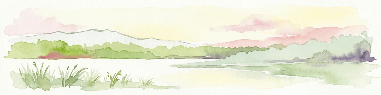
Why Leivonmäki National Park stands out

Leivonmäki National Park is best known for its representation of Central Finland's typical landscape diversity within a compact protected area. The combination of raised bogs, lake shores, and esker forests makes it a distinctive example of boreal wetland and glacial deposit environments. The esker forests, growing on ridges of sorted sand and gravel deposited by melting glaciers, are particularly characteristic of the region's geological heritage. The park's mires represent some of the most intact wetland systems in Central Finland, while Lake Rutajärvi provides an accessible aquatic element to the landscape.

Leivonmäki National Park history and protected-area timeline

The origins of Leivonmäki National Park trace to conservation debates that emerged in the 1970s, when proposals first arose to protect the area's extensive mires, lakeshores, and distinctive esker forests. At that time, the landscape faced pressure from competing land uses, including local peat extraction in portions of Haapasuo and nearby mires, as well as forestry operations and gravel excavation in other areas. The suggestion to conserve large wetland and forest tracts generated significant local debate, reflecting broader tensions in Finland between nature protection goals and the economic interests of surrounding communities. During the 1980s, the Finnish state began acquiring parcels of land in the Leivonmäki area through both negotiated purchases and compulsory acquisition when necessary. In 1991, the core Haapasuo-Syysniemi area was designated a nature reserve, securing key bog, lakeshore, and forest habitats for conservation. The national park was formally established in 2003, with boundaries based on the previously protected core area and expanded to include adjacent landscapes that better represent the region's characteristic environmental values.

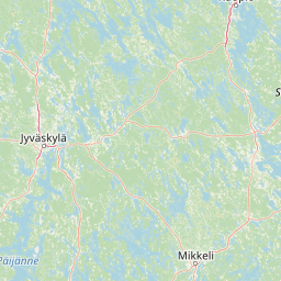
Leivonmäki National Park landscape and geographic character

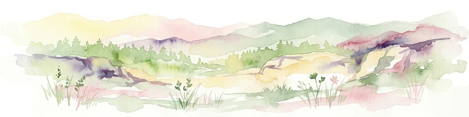
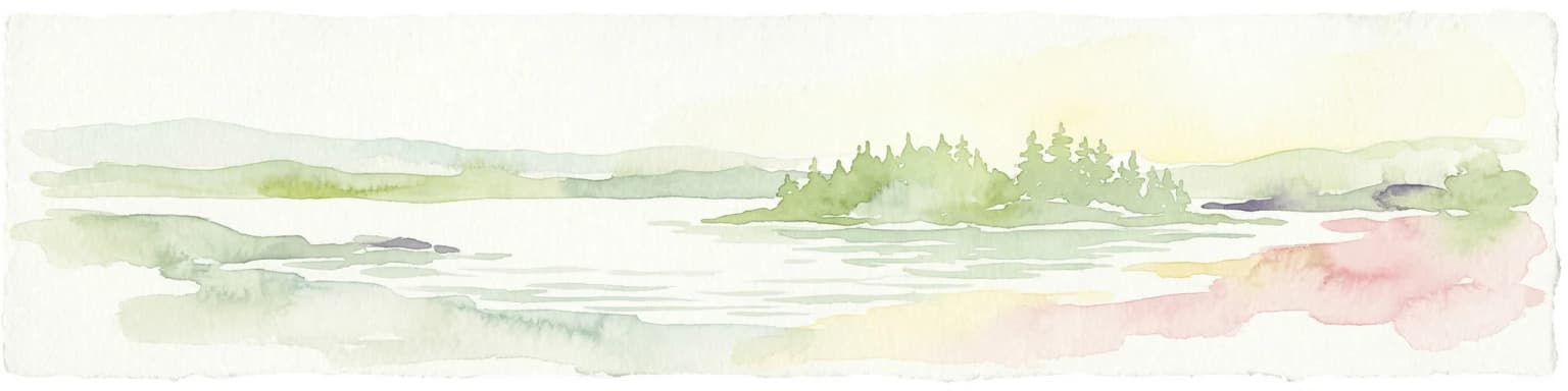
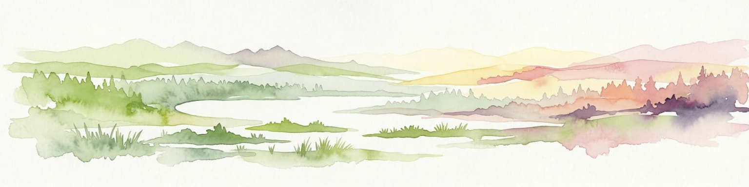
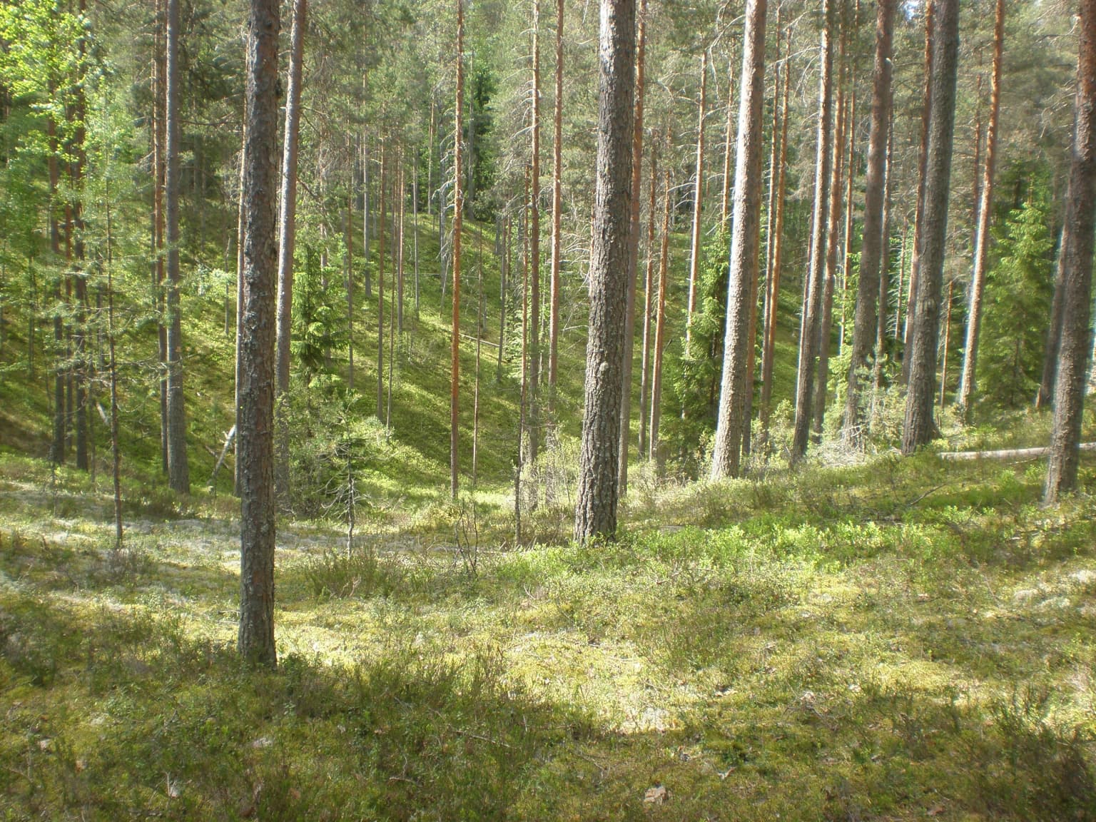
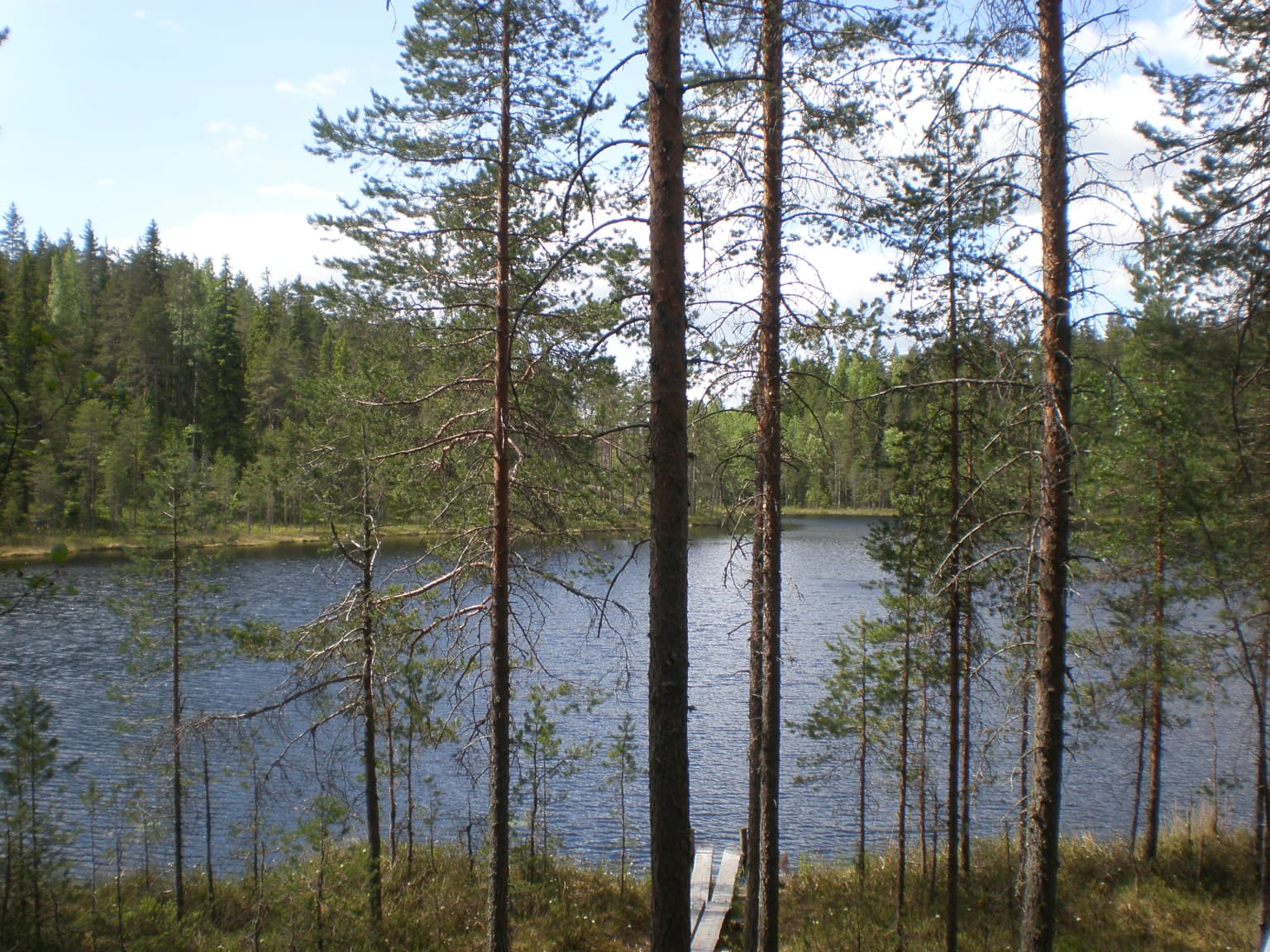
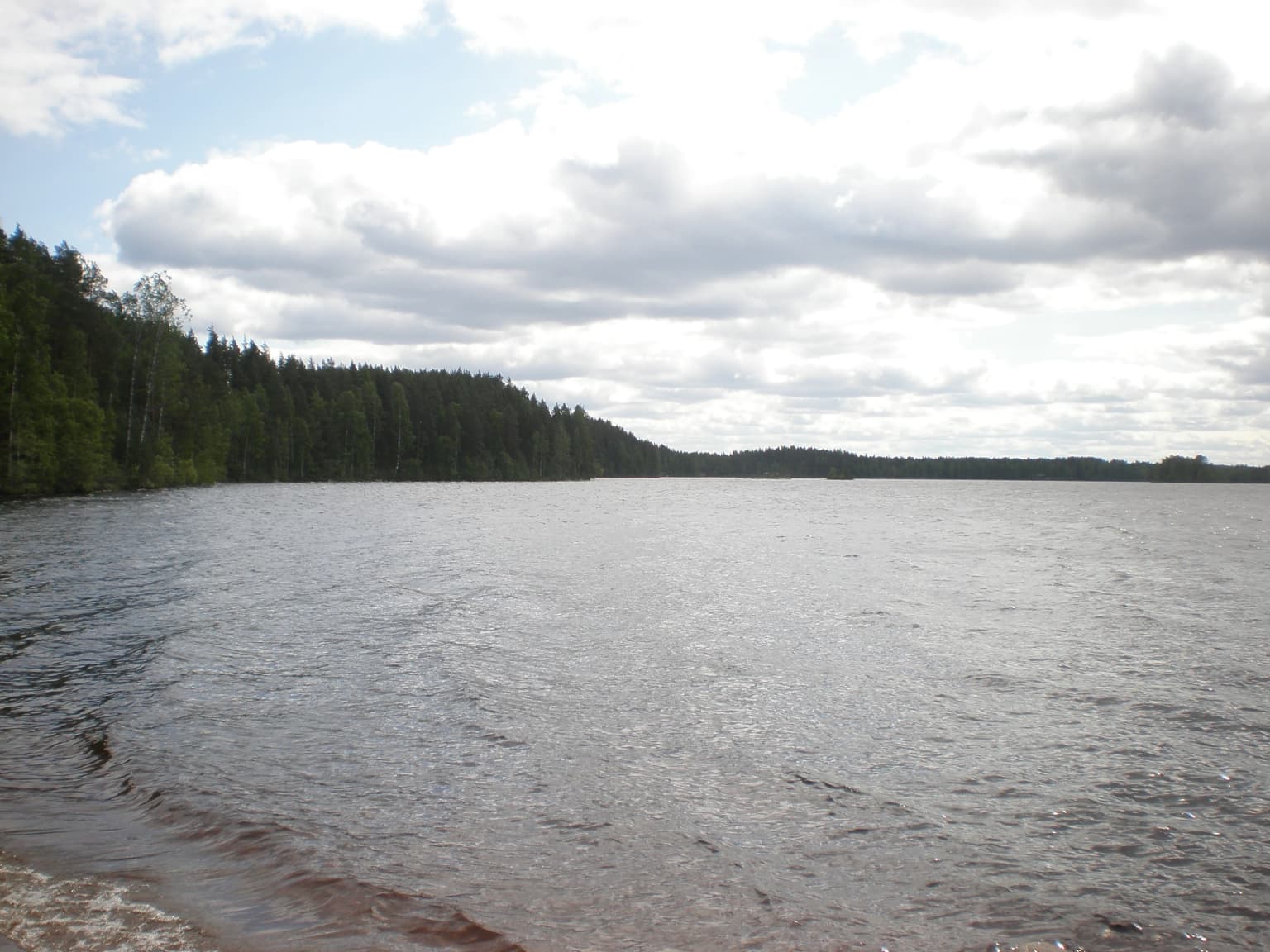
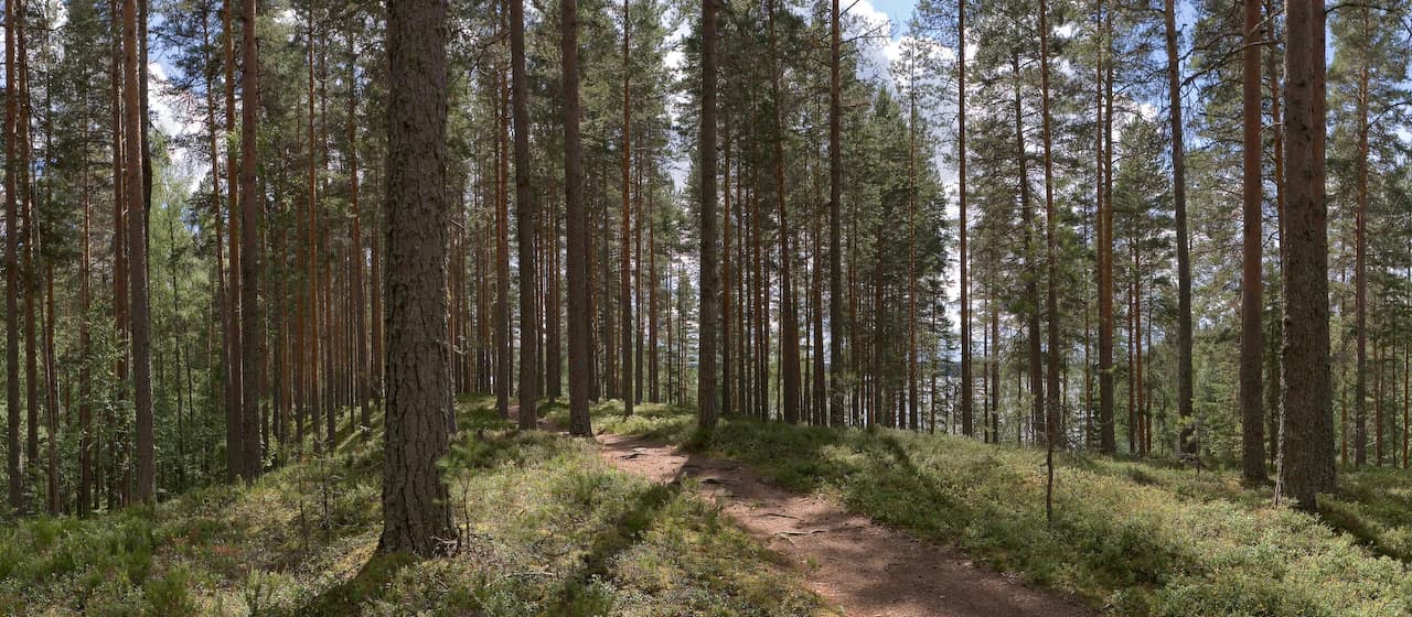
The physical landscape of Leivonmäki National Park is characterized by its combination of wetland mires, lake shoreline, and glacial esker formations. The eskers, which are long ridges of sorted sand and gravel deposited by meltwater streams beneath the retreating Fennoscandian ice sheet, create distinctive terrain features within the otherwise flat or gently undulating landscape. These ridges support forests that differ in character from the surrounding wetland environments. The mires, including both raised bogs andapa mires, form extensive wet areas that dominate large portions of the park's terrain. Lake Rutajärvi provides a significant aquatic element, with its shores encompassing both gently sloping beach areas and more rugged sections where the esker formations approach the water's edge. The overall visual character is one of diverse terrain compressed into a relatively limited area, making the park an effective representative sample of Central Finland's physical geography.

Leivonmäki National Park ecosystems, habitats, and plant life

The ecological character of Leivonmäki National Park reflects the boreal environment of Central Finland, with wetland ecosystems forming a significant component of the park's natural value. The mires support specialized plant communities adapted to acidic, nutrient-poor conditions, including various mosses, sedges, and dwarf shrubs that characterize Finnish bog environments. The esker forests grow on more mineral-rich soils and support different vegetation, including mixed coniferous forest with species typical of Finland's timberline forests. The lake and its shoreline provide aquatic and riparian habitats that complement the terrestrial wetland and forest communities. The park's position within Central Finland places it within a transition zone between southern and northern Finnish ecological regions, contributing to the diversity of species and habitat types represented within its boundaries.

Leivonmäki National Park wildlife and species highlights

The wildlife communities of Leivonmäki National Park reflect the boreal forest and wetland environments that dominate the protected area. The mires and forests provide habitat for various bird species associated with Finnish wetland and taiga environments. While detailed species inventories are not extensively documented in available sources, the combination of open water, reed beds, marshy shores, and coniferous forest creates suitable conditions for diverse avian communities. The wetland areas likely support waterfowl and shorebird species during migration seasons, while the forested sections provide breeding habitat for birds typical of Finnish coniferous forests. The lake environment adds an aquatic dimension to the wildlife potential.

Leivonmäki National Park conservation status and protection priorities

Leivonmäki National Park represents an important conservation outcome for Central Finland, protecting representative examples of the region's characteristic landscapes and ecological communities. The establishment of the park in 2003, following designation of the core area as a nature reserve in 1991, secured long-term protection for the mires, lakeshores, and esker forests that define the area's natural character. The park contributes to Finland's network of protected areas that represent the country's diverse environmental regions. The conservation of these wetland systems is particularly significant given the historical pressures from peat extraction and other land uses that affected similar environments throughout Central Finland. The park also serves an educational function, providing visitors with an accessible example of Central Finland's natural heritage.

Leivonmäki National Park cultural meaning and human context

The landscape of Leivonmäki National Park has been shaped by long-term human interaction with the environment, though the area is not specifically noted for prominent cultural heritage features. The conservation debates that led to the park's establishment reflected the broader Finnish context of balancing economic uses of natural resources with protection goals. The historical peat extraction, forestry, and gravel extraction activities in the area represent traditional land uses that ultimately gave way to conservation priorities as the ecological value of the wetlands and forests became more widely recognized. The establishment process involved both voluntary land purchase and compulsory acquisition, indicating the state's commitment to securing the area for protection despite competing interests.

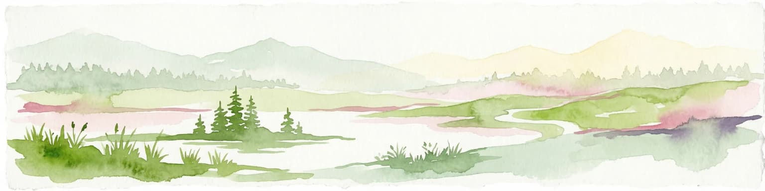
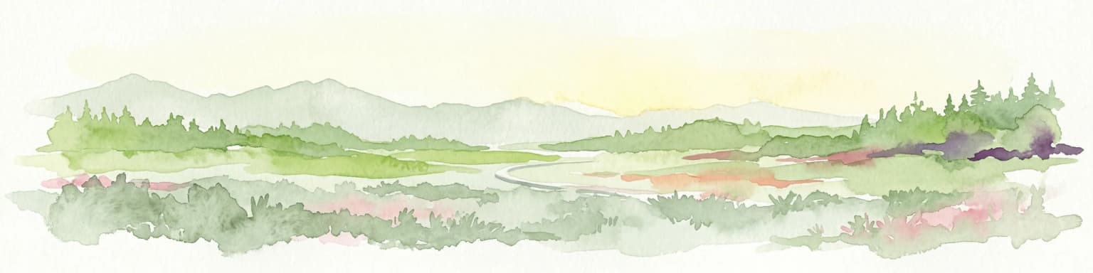
Top sights and standout views in Leivonmäki National Park

Leivonmäki National Park offers visitors a concentrated demonstration of Central Finland's natural diversity within a relatively compact area. The combination of raised mires, lake shoreline, and esker forests provides distinct landscape experiences within a single protected area. Lake Rutajärvi and its surrounding environment forms a scenic focal point for visitors, while the network of trails allows exploration of both wetland and upland environments. The park's representation of glacial landscape features, particularly the esker ridges, provides geological interest that complements the ecological value of the wetland systems. The accessibility of these diverse environments from a single trail system makes the park particularly valuable for visitors seeking to experience multiple aspects of Central Finland's character.

Best time to visit Leivonmäki National Park

The best time to visit Leivonmäki National Park would typically be during the warmer months from late spring through early autumn, when the trail network is fully accessible and the landscapes display their characteristic seasonal变化. Summer months offer the opportunity to experience the wetland environments in full vegetative growth, while autumn may provide colorful foliage displays as the boreal vegetation transitions toward winter conditions. Winter visitation is possible but would require appropriate preparation for snow conditions and shorter daylight hours. The park's relatively northern latitude means that summer days are long and winter days are correspondingly short, affecting the visitor experience across seasons.

Park location guide

Geography guide, regional context, and park location map for Leivonmäki National Park

Leivonmäki National Park park geography, regions, and map view in Finland
Understand where Leivonmäki National Park sits in Finland through a broader geographic reading of the surrounding landscape, nearby location context, and its mapped position within the national park landscape.

How Leivonmäki National Park fits into Finland

Finland, officially the Republic of Finland, is a Nordic country in Northern Europe with a population of 5.6 million. It borders Sweden, Norway, and Russia, with the Gulf of Bothnia to the west and the Gulf of Finland to the south. The country gained independence from Russia in 1917 and is a unitary parliamentary republic. Its landscape is characterized by extensive boreal forests and over 180,000 lakes.

Wider geography shaping Leivonmäki National Park in Finland

Finland is located in Northern Europe, occupying a peninsula bordered by the Gulf of Bothnia to the west and the Gulf of Finland to the south. It shares land borders with Sweden to the northwest, Norway to the north, and Russia to the east. The terrain is predominantly flat with extensive forest coverage and numerous lakes.

Map view of Leivonmäki National Park

Use this park location map to pinpoint Leivonmäki National Park in Finland, understand its exact geographic position, and read its mapped placement within the surrounding landscape more clearly.

Pigeon | © OpenStreetMap contributors

Location context for Leivonmäki National Park

Central Finland
Park atlas

Trace connected protected landscapes and regional park geography across Central Finland's diverse wetland and esker formations.

Discover Nearby National Parks and Protected Areas Beyond Leivonmäki National Park, Central Finland
After exploring Leivonmäki National Park's unique mires and esker forests, browse other national parks and protected areas situated within Central Finland, comparing their distinct landscapes and conservation focuses. This curated selection reveals the geographic spread of protected lands and highlights the diverse boreal wetland and glacial deposit environments common to the wider Finnish region.
National park

Isojärvi National Park: Finland's Protected Landscape with Dynamic Beaver-Shaped Terrain

Central Finland's boreal forest, ravines, and lake district geography.

Isojärvi National Park offers a unique atlas perspective on Central Finland's protected natural landscapes. This national park is characterized by a dynamic boreal environment, featuring steep hills, deep ravines, and varied topography shaped by both ancient geological processes and contemporary beaver activity. Discover the mapped boundaries of this protected area, its central role in the Finnish lake district's geography, and the distinctive wetland habitats created by beavers that enhance its ecological diversity. It serves as a key point for understanding regional landscape context and protected land exploration.

Area
19 km²
Established
1982
IUCN
II
Visitors
24.4K annual
National parkPäijät-Häme

Päijänne National Park: Mapped Island Archipelago in Finland's Päijät-Häme Region

Explore unique glacial geology and boreal island wilderness.

Päijänne National Park presents a compelling protected landscape for atlas discovery, focusing on its distinct archipelago character within Lake Päijänne, Southern Finland. This national park features numerous islands showcasing ancient geological formations, from rocky outcrops to sandy beach ridges and moraine formations. Its mapped terrain offers insights into glacial processes and the development of boreal island ecosystems. Navigate its unique island settings to understand the geographic context of this protected area in the Päijät-Häme region.

Area
14 km²
Established
1993
IUCN
II
Visitors
67K annual
National parkCentral Finland

Southern Konnevesi National Park: National Park Protected Landscape Atlas

Mapped boundaries and regional geography within Central Finland.

Southern Konnevesi National Park is a vital protected area within Central Finland, distinguished by its national park status and its inclusion in the vast Finnish Lakeland. This entry provides a detailed geographic context for the park, emphasizing its mapped boundaries and its role within the region's natural landscape. Users can leverage this structured information for atlas-based discovery and to understand the park's specific environmental setting. Explore the terrain and protected land features that define this significant Finnish protected area.

Area
15 km²
Established
2014
Visitors
30.4K annual
Relief
Mixed relief
Watercolor illustration showing a landscape with mountains, a winding river, and patches of green vegetation and trees
National parkFinland

Repovesi National Park: Finland's Boreal Wilderness and Protected Landscape

Explore mapped terrain and regional geography.

Repovesi National Park represents a significant protected natural area in southeastern Finland, showcasing a landscape characterized by dense boreal forests, rolling hills, and numerous lakes. As one of Finland's most visited national parks, it offers a compelling example of conserved wilderness and natural terrain. This page details the park's protected landscape identity, its geographic setting within Finland, and the atlas-driven insights available for exploring its mapped boundaries and natural features.

Area
15 km²
Established
2003
IUCN
II
Visitors
100.9K annual
National parkCentral Finland

Pyhä-Häkki National Park: Central Finland's Ancient Forest Protected Landscape

Discover mapped boundaries, old-growth trees, and boreal peat bog ecosystems.

Pyhä-Häkki National Park is a crucial protected national park in Central Finland, safeguarding an exceptional expanse of old-growth forest and vital peat bog habitats. This protected landscape showcases ancient trees, some over 400 years old, and a unique boreal ecosystem largely untouched by human development. Explore its natural terrain, mapped park boundaries, and the ecological significance of this primeval forest environment through MoriAtlas's structured discovery platform.

Area
13 km²
Established
1956
IUCN
II
Visitors
17.9K annual
Watercolor painting depicting a landscape with hills, forests, and a river using muted colors
National parkPirkanmaa

Helvetinjärvi National Park: Protected Landscape and Geographic Context in Pirkanmaa

Mapped national park boundaries and regional natural terrain.

Delve into the details of Helvetinjärvi National Park, a protected area within the Pirkanmaa region of Finland. This atlas entry highlights the park's mapped geographic features and its identity as a national park. Understand the protected landscape and its place in the broader Finnish geography, offering structured insights for map-based discovery.

Area
49.8 km²
Established
1982
IUCN
II
Visitors
44K annual
Watercolor illustration showing a lake with islands and forested shores, distant hills, and soft pastel colors
National parkSouth Savo

Linnansaari National Park: South Savo's Protected Landscape and Geography

Explore the mapped boundaries of this Finnish national park.

Discover Linnansaari National Park, a distinct national park located in South Savo, Finland. This page provides detailed information focused on its protected landscape identity, mapped geography, and atlas context. Understand its significance as a conservation area and how its boundaries contribute to the regional natural landscape. Explore the geographic positioning of Linnansaari National Park within South Savo, offering insights for structured map-based discovery.

Area
38 km²
Established
1956
IUCN
II
Visitors
31.6K annual
Watercolor painting of a lake surrounded by trees with a colorful sky.
National parkFinland

Seitseminen National Park: Ancient Boreal Forests and Vast Mire Systems in Finland

Explore mapped terrain and protected wilderness landscapes.

Seitseminen National Park represents a significant protected area in western Finland, characterized by classic boreal forest ecosystems interspersed with extensive mire and bog landscapes. The park's geography includes the notable Seitsemisharju esker, contributing to its diverse terrain. As a sanctuary for ancient forests, including the historic Multiharju primeval forest, Seitseminen offers a unique focus for understanding Finnish protected wilderness and its mapped geographic features within the Nordic context.

Area
45.5 km²
Established
1982
IUCN
II
Visitors
42.3K annual

Common questions about visiting, size, designation, and location context for Leivonmäki National Park

Leivonmäki National Park FAQs for park facts, access, geography, and protected area context
Find quick answers about Leivonmäki National Park, including protected-area facts, park geography, trail and visitor context, and how the park fits into its surrounding country and regional landscape.
MoriAtlas Explorer

Continue Your Protected Areas Search Across the Global Atlas

Deepen your exploration by continuing the structured search for national parks and protected areas worldwide. Utilize the comprehensive filtering capabilities to compare different conservation landscapes and refine your understanding of global park geography. Discover more about the distribution and characteristics of protected natural areas.

Global natural geography