
Hills
Park geography
A technical overview of boundary dimensions, peak elevations, and coastal geography.
Structured Geographic Profile and Mapped Terrain of Lofotodden National Park in Norway
Examine the spatial characteristics of Lofotodden National Park, located within the Nordland region of Norway. This profile documents mapped boundary extents, terrain relief, and the diverse collection of peaks and coastal features situated within the park, including elevation data reaching 1029 meters.
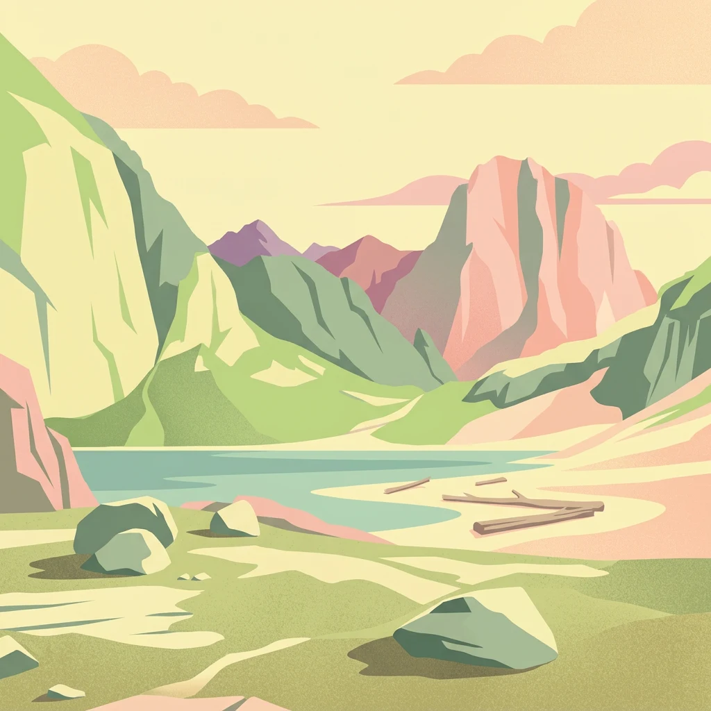
Rugged Arctic mountain landscape preserving Lofoten's dramatic western coast
Lofotodden National Park
Lofotodden National Park is a protected area in northern Norway encompassing the dramatic southern portion of the Lofotenveggen mountain range along the western coast of Moskenesøya island in the Lofoten archipelago. Established in 2018, the park covers 99 square kilometers of mountainous terrain, including approximately 13 square kilometers of surrounding sea, bays, and small islands. The landscape is characterized by jagged volcanic and granite peaks rising steeply from the Arctic coast, with the park's highest point at Hermannsdalstinden (1,029 meters), the tallest mountain on Moskenesøya. The protected area preserves a remarkable diversity of habitats including rubble forests, coastal bogs, cliffed shorelines, and sand dunes, making it one of the most ecologically significant mountain-coastal landscapes in northern Norway.
- Location
- Norway
- Park type
- National park
- Established
- 2018
- Area
- 99 km²
- Highest point
- 1,029 m
Location overview
Regional placement and coastal island profile within Nordland, Norway
Lofotodden National Park: Geographic Location and Island Profile
Lofotodden National Park is positioned in Norway, spanning the Nordland region along with Moskenes and Flakstad municipalities. Official geographic records classify the protected area with both coastal and island status.
- Countries
- Norway
- Regions
- Flakstad Municipality, Moskenes Municipality, Nordland
- Primary location
- Nordland
- Geographic setting
- Coastal · Island
Boundary and coordinates
Interactive boundary geometry and spatial measurement metrics
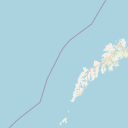
Lofotodden National Park Boundary Map and Geographic Extent
Mapped park boundaries establish spatial context for the protected landscape and marine zones. Accompanying facts outline recorded area metrics, coordinate limits, and geographic spans without claiming legal survey precision.
- Boundary area
- 99.2 km²
- Boundary perimeter
- 138.1 km
- Northernmost point
- 68.1254° N
- Southernmost point
- 67.8231° N
- Easternmost point
- 13.1417° E
- Westernmost point
- 12.7771° E
- Geographic centre
- 67.9564° N, 12.9567° E
- North–south span
- 33.7 km
- East–west span
- 15.3 km
Elevation and terrain
Mountain topography, peaks, and recorded natural features
Lofotodden National Park Terrain and Elevation Profile
Recorded elevation metrics establish a peak altitude of 1029 meters across the mountain terrain. Linked feature cards provide names, types, measurements, and spatial relationships for recorded terrain elements.
- Maximum elevation
- 1,029 m
- Highest point
- 1,029 m
Selected named natural features
Bays
Gjerdvika
Hills
Mengedalsheia
Valleys
Reklidalen
Capes
Yttertuven
Peaks
Tinddalstinden
502 m
Environmental setting
Boreal climate zones, mountain relief, and coastal habitat types
Lofotodden National Park Environmental Setting and Physical Classifications
Recorded classifications frame the physical setting through complementary habitat types, mountain relief, and water features. Linked categories connect specific environmental records to related atlas destinations.
- Relief
- Mountain
- Climate
- Boreal
- Water
- Major water bodies
- Forest cover
- Partial forest
Landscape features
Mountains · Cliffs · Beach · Dunes · Islands · Lakes
Habitat types
Temperate broadleaf forest · Wetland · Coastal habitat · Dune habitat
Park atlas
Compare the dramatic mountain and coastal landscapes of other protected areas throughout the Lofoten archipelago and wider northern Norway.
Compare Related National Parks and Protected Areas Near Lofotodden National Park
Explore other national parks and protected areas across the Lofoten archipelago and wider northern Norway, featuring diverse mountain ranges and striking coastal landscapes similar to Lofotodden National Park. Comparing these regional protected areas reveals distinct geographic patterns and conservation efforts, offering comprehensive atlas-style understanding of Arctic environments.
Protected landscapeNordland
About 54 km away#1 closest
Southwest

Røstøyan Landskapsvernområde: Coastal Landscape and Marine Protected Area in Nordland
Remote Atlantic archipelago mapping and Arctic island geography
Røstøyan Landskapsvernområde represents a distinct protected landscape of high-latitude islands and sea areas. This site features steep grass-topped cliffs and expansive marine shallows, offering a concentrated look at the oceanic ecology and geological structure of the Norwegian outer coast. Analyze the map and terrain features of this vital maritime preserve located in the far northern reaches of Nordland.
- Area
- 69.864 km²
- Established
- 2002
National parkNordland
89 km away#2 closest
Southeast
Sjunkhatten National Park: Norway's Protected National Park Identity and Geographic Atlas
Mapped landscape context and regional geography details.
Explore the structured geographic data and protected landscape context for Sjunkhatten National Park, a significant national park in Nordland, Norway. This page provides detailed insights into its mapped boundaries and regional setting, offering an atlas-driven view of its natural terrain. Understand how this protected area contributes to the broader geography of Norway through factual, map-oriented discovery.
- Area
- 417.5 km²
- Established
- 2010
- IUCN
- II
- Relief
- Mountain
Marine protected areaNordland
About 100 km away#3 closest
Southeast
Saltstraumen Marine Protected Area: Geographic Mapping and Tidal Landscape Features
Coastal fjord passage and protected marine terrain in Nordland
Located in Nordland, Saltstraumen represents a critical marine protected area where extreme tidal forces carve a dramatic, narrow passage between fjord systems. Explore the intersection of tidal currents, island geography, and protected marine habitat through a focused look at this Northern Norwegian natural wonder and its surrounding coastal topography.
- Visitors
- 150K annual
- Access
- Easy access
- Scope
- Marine
- Water
- Water-dominated
National parkNordland
About 107 km away#4 closest
Northeast
Møysalen National Park: Coastal Alpine Protected Landscape in Nordland, Norway
Mapped boundaries, dramatic terrain, and coastal ecosystems.
Møysalen National Park offers a compelling study in coastal alpine geography, situated within Nordland county, Norway. This protected area is renowned for its dramatic mountain scenery where peaks plunge directly into the sea and deep fjords. The park's 51 square kilometres encompass a unique ecological transition from alpine summits to sea level, featuring jagged peaks, sheltered valleys with birch forests, and coastal wetlands. Explore the mapped landscape of this distinctive Norwegian national park and understand its place in regional geography and protected land networks.
- Area
- 51 km²
- Established
- 2003
- IUCN
- II
- Relief
- Mountain
National parkNorway
About 125 km away#5 closest
South
Láhko National Park: Northern Norway's Protected Arctic Landscape and Geographic Atlas Entry
Mapped boundaries and terrain of a key Finnmark national park.
Láhko National Park is a significant protected area within Norway's Finnmark region, representing a vast expanse of sub-Arctic wilderness and characteristic tundra ecosystems. This park serves as a crucial element in the atlas of northern European protected lands, offering insights into the geographic features and ecological integrity of high-latitude environments. Explore Láhko National Park through MoriAtlas to understand its landscape context, mapped terrain, and its role in preserving Nordic wilderness.
- IUCN
- II
National parkNordland
130 km away#6 closest
Southeast
Rago National Park: Northern Norway's Protected Mountain Wilderness and Transboundary Atlas
Explore the mapped terrain and unique landscape context of this significant protected area.
Rago National Park is a protected national park in Nordland, Norway, recognized for its challenging mountainous terrain and its crucial role as part of a vast transboundary protected area complex spanning into Sweden. The park's landscape features alpine lakes and glaciers, offering a stark representation of northern Scandinavian mountain wilderness. Understanding Rago National Park provides insight into regional conservation efforts and the geographic significance of large-scale protected lands in Europe.
- Area
- 171 km²
- Established
- 1971
- IUCN
- II
- Relief
- Mountain
National parkNorway
130 km away#7 closest
South
Saltfjellet, Svartisen National Park: Glacial Terrain & Protected Arctic Wilderness
Norway's vast national park with Svartisen glacier and unique flora.
Saltfjellet, Svartisen National Park spans over 2,100 square kilometers of diverse protected wilderness in Northern Norway. Renowned for Svartisen, Scandinavia's second-largest glacier, its landscape transitions from coastal influences to alpine plateaux. The park's calcareous bedrock supports a rich flora, rare in the region, contributing to its distinct geographic identity. Explore the mapped boundaries and natural terrain of this significant protected landscape.
- Area
- 2,192 km²
- Established
- 1989
- IUCN
- II
- Relief
- Mixed relief
National parkNorrbotten County
141 km away#8 closest
Southeast

Padjelanta National Park: Sweden's Largest National Park Protected Plateau Landscape
Explore subarctic terrain, large lakes, and Laponia World Heritage Site geography.
Padjelanta National Park, situated in Norrbotten County, is Sweden's largest national park. It features a distinctive subarctic plateau ecosystem centered around two vast lakes, offering a starkly open landscape compared to adjacent alpine areas. This protected area is renowned for its exceptional botanical and lichen diversity, a vital part of the Laponia World Heritage Site. Users can explore its mapped geography, unique terrain, and the cultural significance of this expansive arctic wilderness.
- Area
- 1,984 km²
- Established
- 1963
- IUCN
- II
- Relief
- Highland
MoriAtlas Explorer
Continue Exploring Lofotodden National Park's Geographic Atlas Context
Deepen your understanding of Lofotodden National Park by examining its precise mapped boundaries and intricate terrain within the Nordland region. MoriAtlas provides the geographic and protected-area framework necessary for comprehensive atlas exploration, moving beyond mere identification to reveal the park's place in Norway's remarkable natural landscape.
Browse next
Global natural geography
Explore related park routes
Explore MoriAtlas Global ParksBrowse All MoriAtlas ParksGlobal Park Map DiscoveryMoriAtlas: Browse All CountriesBrowse All MoriAtlas ContinentsNational Park Environment AtlasGrand Canyon National Park AtlasYellowstone National Park AtlasYosemite National Park Atlas and GeographySerengeti National Park AtlasGalápagos National Park Protected LandscapeBanff National Park Geography and AtlasKruger National Park Atlas EntryUluṟu-Kata Tjuṯa National Park AtlasExplore Uluru-Kata Tjuta National Park GeographyPlitvice Lakes National Park AtlasFiordland National Park Protected LandscapeGreat Smoky Mountains National Park AtlasAfghanistan National Parks and Protected AreasAlbania National Parks and Protected AreasAlgeria National Parks and Protected AreasAmerican Samoa National Parks and Protected AreasAndorra National Parks and Protected AreasAngola National Parks and Protected AreasAntarctica National Parks and Protected AreasAntigua and Barbuda Park List