Mori Atlas logo
Park earthquake history

A mapped catalogue of seismic events identified by distance from park coordinates

Historical Earthquake Records and Seismic Activity Associated with Matsalu National Park

This collection presents a historical catalogue of recorded seismic activity associated with the geography of Matsalu National Park. Each entry tracks event dates, magnitudes, and focal depths to provide a clearer understanding of local and regional seismic trends. Records are indexed by their proximity to the park boundaries, offering a factual reference for those exploring the geological and historical context of the wetland landscape.

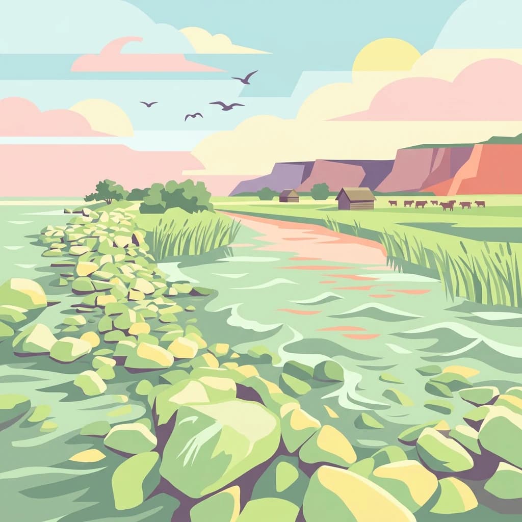
Stylized illustration showing a river with rocky shoreline, grassy banks, cliffs in the background, and birds flying in a pastel sky

Estonia's premier wetland bird sanctuary on the East Atlantic Flyway

Matsalu National Park

Matsalu National Park is a protected wetland area in western Estonia spanning approximately 486 square kilometers across Lääne and Pärnu counties. The park encompasses Matsalu Bay, a shallow brackish coastal lagoon, the extensive delta of the Kasari River, and more than 50 islands in the surrounding Väinameri sea area. Established as a nature reserve in 1957 and redesignated as a national park in 2004, Matsalu protects one of Europe's most significant wetland ecosystems and serves as a critical staging ground for migratory birds along the East Atlantic Flyway. The bay itself stretches 18 kilometers in length and 6 kilometers in width but averages only 1.5 meters in depth, creating ideal conditions for the rich nutrient deposits and extensive reedbeds that characterize the region. The shoreline extends roughly 165 kilometers, comprising shingle beaches, mudflats, and dense reed vegetation in the sheltered inner areas. The Kasari River delta, though partially modified by historical dredging between 1930 and 1960, remains one of the largest managed wet meadows in Europe, spanning approximately 40 square kilometers. Matsalu holds exceptional international recognition as a Ramsar Wetland site since 1976 and is the only area in Estonia to have received the European Diploma of Protected Areas from the Council of Europe in 2003, a distinction renewed in 2008. The park serves not only as a biodiversity refuge but also as a center for scientific research, environmental education, and the annual Matsalu International Nature Film Festival held in nearby Lihula.

Location
Estonia
Park type
National park
Established
1957
Area
486.1 km²
Matsalu National Park Protected Area Atlas

Navigate Matsalu National Park events by date and distance

Examine the earthquake record associated with Matsalu National Park

Matsalu National Park’s earthquake records are associated through reported epicentres and calculated distance from its Ramsar wetland, reedbeds, and coastal bird-migration landscape. Timing, magnitude, depth, locality, park separation, and source evidence can be reviewed together without placing every event within the park, inferring habitat effects, assigning cause, or predicting seismic conditions.

Sort by
Magnitude
Location

This page describes catalogued earthquakes associated with the park by epicentre location and distance. It does not establish causation, assess current danger, or predict future earthquakes.

No earthquake records match the current filters

Park atlas

Move from Estonia's renowned wetland bird sanctuary to new parks

Follow the flyway beyond Matsalu National Park

Matsalu National Park closes its earthquake section within a major East Atlantic Flyway wetland in western Estonia. The protected places shown next have independent identities and are not evidence of shared bird habitat, park designation, geology, seismic history, geographic closeness, hazards, or equivalent sources.
Watercolor painting showing a wetland landscape with scattered trees, marshy areas, and distant mountains under a muted sky
National parkViljandi County
62 km away#1 closest

East

Soomaa National Park: Estonia's Wilderness Wetland Landscape Atlas

Explore mapped protected peat bogs and dynamic floodplains in Viljandi County.

Soomaa National Park is a protected wilderness area in Estonia renowned for its extensive peat bog systems and unique floodplains. This national park, located primarily in Viljandi County, showcases some of Europe's largest intact wetland landscapes, characterized by seasonal floods that transform the terrain into vast aquatic environments. MoriAtlas provides detailed geographic context for Soomaa, allowing for exploration of its protected boundaries and landscape features within the broader atlas of European natural areas.

Area
359 km²
Established
1993
IUCN
II
Relief
Lowland
Watercolor painting showing a landscape with a body of water, rolling hills, and distant mountains under a soft sky
Marine protected areaSaare County
84 km away#2 closest

West

Vilsandi National Park: Marine Protected Area Atlas and Archipelago Geography

Explore the protected landscape of Western Saaremaa's coast.

Vilsandi National Park is an integral part of Saare County's protected lands, recognized as a significant marine protected area. This page offers an atlas-style exploration of its geography, focusing on the distinctive archipelago terrain, coastal formations along Saaremaa's western edge, and its vital importance as a stopover for migratory birds. Understand the park's mapped boundaries and its place within the broader Baltic Sea ecosystem through detailed geographic context.

Area
241 km²
Established
1957
IUCN
II
Relief
Lowland
Watercolor illustration showing a coastal landscape with small islands, green vegetation, and calm water
National parkFinland
104 km away#3 closest

Northwest

Archipelago National Park

Explore protected area boundaries and natural terrain.

Archipelago National Park, in Finland. Landscapes: islands, coasts, and grasslands.

Area
500 km²
Established
1983
IUCN
II
Visitors
78.8K annual
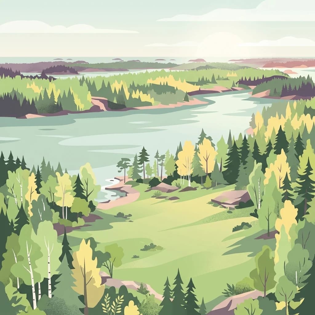
A stylized flat illustration of a coastal archipelago landscape with a green meadow in the foreground leading to a calm bay surrounded by coniferous and deciduous trees.
National parkUusimaa
About 107 km away#4 closest

North

Ekenäs Archipelago National Park: Mapped Baltic Sea Archipelago Landscape

Protected marine area with island geography in Uusimaa, Finland.

Delve into the unique protected landscape of Ekenäs Archipelago National Park, a premier example of a Baltic Sea marine protected area. Located in the Uusimaa region, this national park encompasses a vast expanse of coastal waters dotted with hundreds of rocky islets and skerries. MoriAtlas provides detailed geographic context, allowing for exploration of its mapped boundaries, island formations, and critical role as a sanctuary for breeding aquatic birds. Understand its place within Finland's protected areas atlas and appreciate its distinctive marine archipelago character.

Area
52 km²
Established
1989
IUCN
II
Visitors
53.6K annual
Watercolor illustration of a river flowing through a forested landscape with mountains in the background
National parkLatvia
110 km away#5 closest

Southwest

Slītere National Park: Latvia's Protected Coastal Landscape with Blue Hills and Bird Flyways

Explore the unique terrain and protected geography of this Baltic national park.

Slītere National Park represents a distinctive protected landscape on Latvia's Courland Peninsula, celebrated for its ancient geological formations like the Blue Hills (Zilie Kalni) and its role as a crucial bird migration corridor. The park's geography encompasses varied dune systems, wetland habitats, and rich broadleaf forests, offering a unique mapped environment. Discover the park's protected area boundaries and its significance within the regional Baltic geography, highlighting its unique ecosystem features and landscape context.

Area
164.14 km²
Established
2000
IUCN
II
Relief
Mixed relief
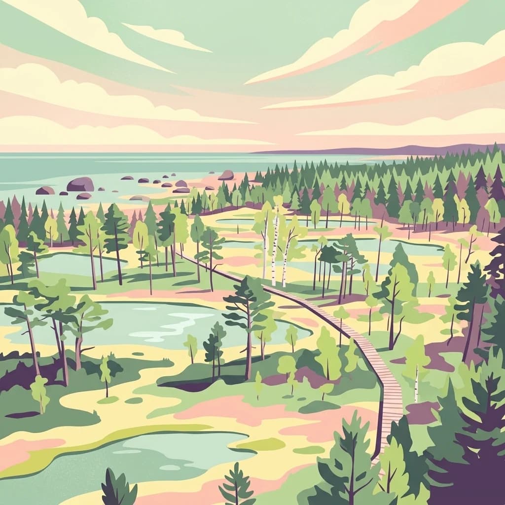
A digital illustration of a coastal landscape with a wooden boardwalk winding through a bog and forest, leading toward a shoreline with scattered boulders under a soft pastel sky.
National parkEstonia
117 km away#6 closest

Northeast

Lahemaa National Park

Mapped terrain, bogs, and coastal peninsulas of a major protected area.

Lahemaa National Park, in Estonia. Landscapes: coasts, bogs, and forests.

Area
747 km²
Established
1971
IUCN
II
Relief
Lowland
Watercolor landscape with rolling hills, trees, and pastel sky
National parkSouthwest Finland
About 153 km away#7 closest

North

Teijo National Park: Mapped Boundaries of a Protected National Park in Southwest Finland

Explore the geographic context and protected landscape of Teijo National Park.

Teijo National Park is a designated national park within Southwest Finland, offering a distinct protected landscape for atlas exploration. This entry focuses on its geographic identity, mapped park boundaries, and its place within the broader regional geography. Discover the structured details of Teijo National Park as a key protected area, providing valuable context for understanding natural landscapes and conservation efforts in Finland.

Area
34 km²
Established
2015
IUCN
II
Visitors
92.1K annual
Watercolor illustration of a river flowing through a valley with hills and greenery
National parkLatvia
157 km away#8 closest

Southeast

Gauja National Park

Mapped terrain and diverse natural heritage in Vidzeme.

Gauja National Park, in Latvia. Landscapes: valleys, cliffs, and forests.

Area
917.87 km²
Established
1973
IUCN
II
Relief
Mixed relief
MoriAtlas Explorer

Matsalu National Park

Explore the map, landscapes, and protection details for Matsalu National Park.