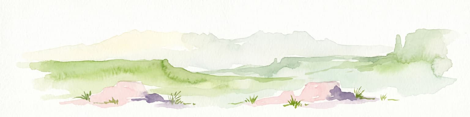
A vast Arizona wilderness spanning two national forests, the Verde River, and the high Mazatzal Divide.
Mazatzal Wilderness
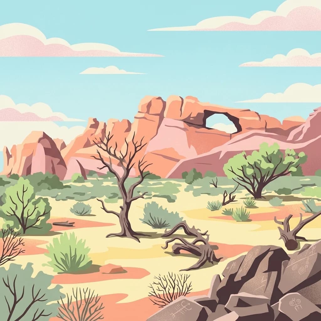
Mazatzal Wilderness is a large federally protected wilderness area in central Arizona, covering roughly 390 square miles across Yavapai and Gila counties. It lies within both the Tonto National Forest and the Coconino National Forest, making it one of the more expansive wilderness tracts in the central part of the state. The landscape ranges from desert-shrub lowlands along the Verde River to high forested ridges of the Mazatzal Mountains, with elevations climbing from about 2,100 feet to nearly 7,900 feet on Mazatzal Peak.
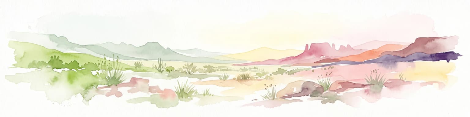
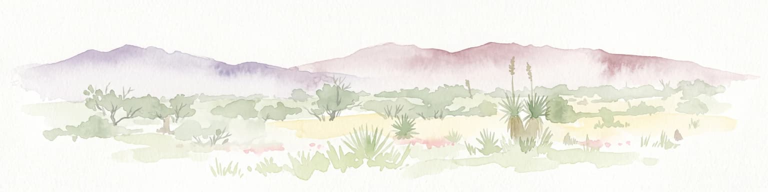
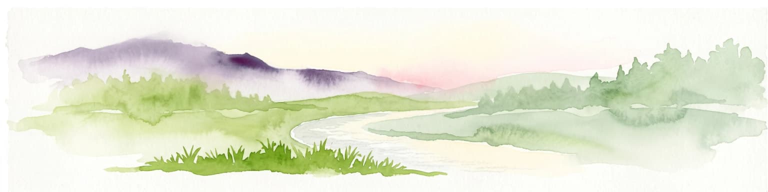
The area protects a striking ecological transition, where Sonoran and Mojave desert influences at lower elevations give way to pinyon-juniper woodlands, ponderosa pine forests, and Douglas-fir stands in the higher country. Trails weave through this varied terrain; the Verde River runs along the western edge of the wilderness, while the Mazatzal Divide Trail traces the central highlands. Because of its size, elevational range, and position between two major Arizona river systems, Mazatzal Wilderness functions as an important interior block of undeveloped backcountry in the American Southwest.
Although the area is rugged and, in summer, exceedingly hot, it remains an enduring example of the kind of arid, mountain-rimmed wilderness that continues to shape the identity of Arizona's wild lands. Since its designation in 1964, it has served as a benchmark for large-scale wilderness preservation in Arizona, balancing broad ecological diversity with deeply traditional backcountry recreation opportunities.