
Why Mugii Murum-ban State Conservation Area stands out
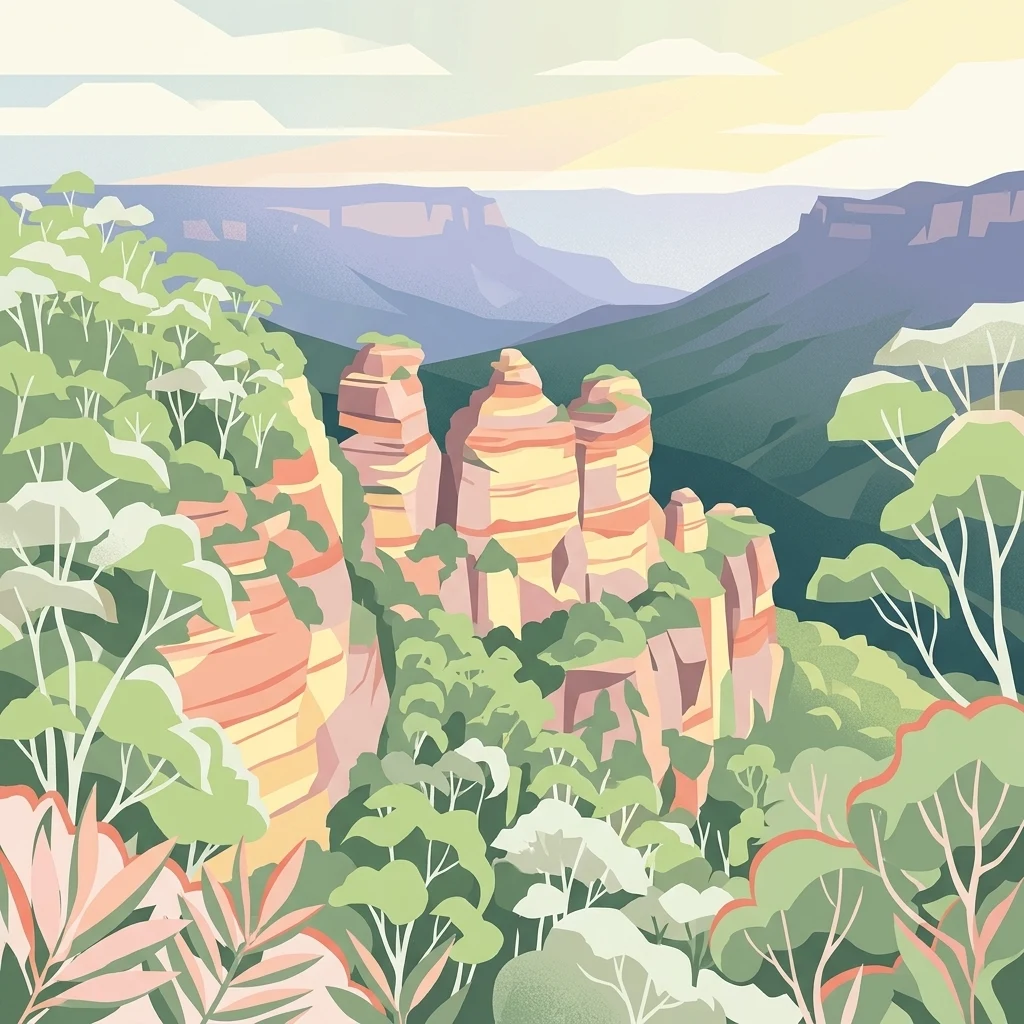
Mugii Murum-ban is best known for its dramatic mesa and pagoda-country scenery, a visual signature of the wider Capertee Valley region. Genowlan Mesa is topped with hundreds of erosion-formed 'pagoda' rock pinnacles and contains notable landmarks such as the Citadel, the Valley of the Kings, and the Grotto, where sheltered microclimates support towering Brown Barrel eucalypts and tree ferns. The conservation area is also well known for combining ecological and cultural significance in a small footprint. It protects relict and threatened plant communities, including the unique community at Genowlan Point with Johnson's Grass Tree, Allocasuarina nana, and Micromyrtus sessilis, alongside a Wiradjuri cultural landscape and the ruins of one of New South Wales' early oil shale ventures.
Mugii Murum-ban State Conservation Area history and protected-area timeline
Mugii Murum-ban was formally established as a State Conservation Area in 2011 under the management of the NSW National Parks and Wildlife Service. Despite its relatively recent reserve status, the land it protects has both deep indigenous meaning and over a century of industrial history.
The name of the park itself is drawn from the Wiradjuri language, where 'mugii' refers to the southern boobook owl (also widely known as the mopoke owl) and 'murum-ban' means 'eldest son'. Together they form the Wiradjuri name of Charlie Riley. The area is identified as being of particular significance to the Wiradjuri Aboriginal people, and the place name reflects the continuing connection between the landscape and Wiradjuri cultural identity.
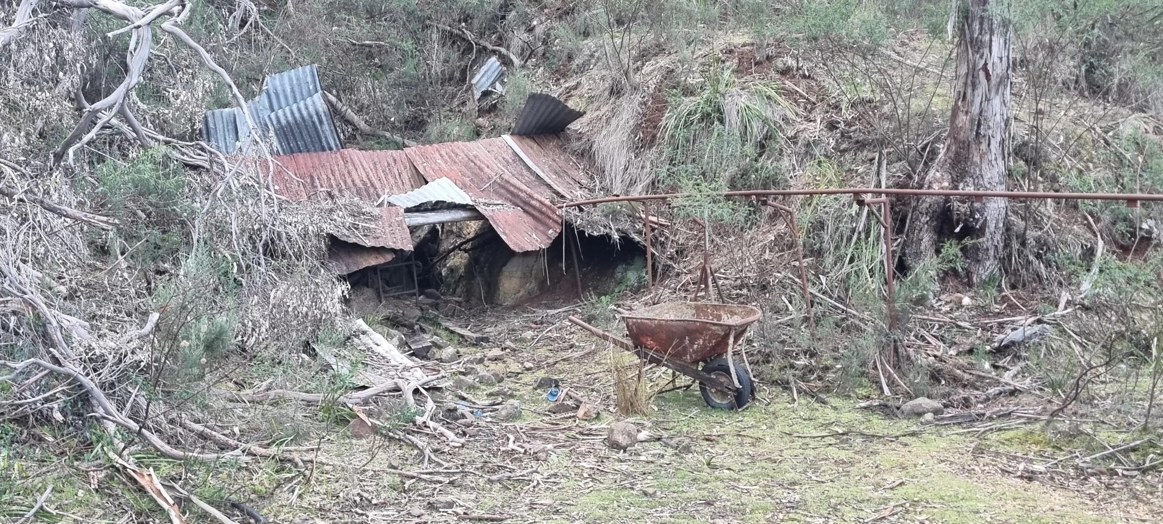
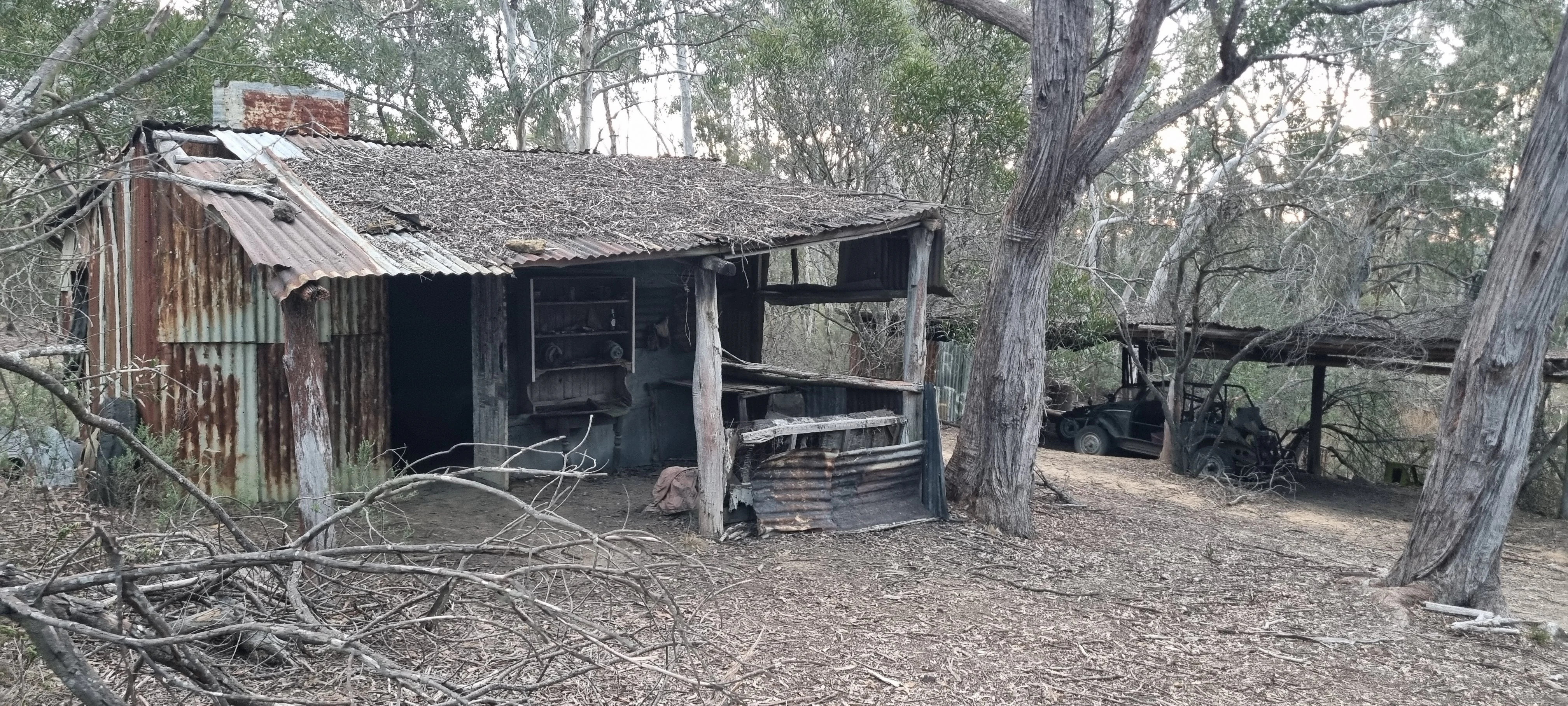
The most visible layer of European-era history relates to oil shale mining. Underlying oil shale deposits were developed by individual miners starting in 1893, with extraction occurring on the slopes of Airly Gap and on the western side of Mount Airly. The abandoned settlement of New Hartley, near Airly Gap, retains substantial ruins from this period, including tunnels, cableways, shale oil retorts, steam engines, dwellings, stone houses, and mine ventilation chimneys. These remains are listed on the New South Wales Heritage List, recognising their importance as one of the state's early extractive industry sites. Mineral deposits, including coal, remain present within the conservation area's boundaries.
Mugii Murum-ban State Conservation Area landscape and geographic character
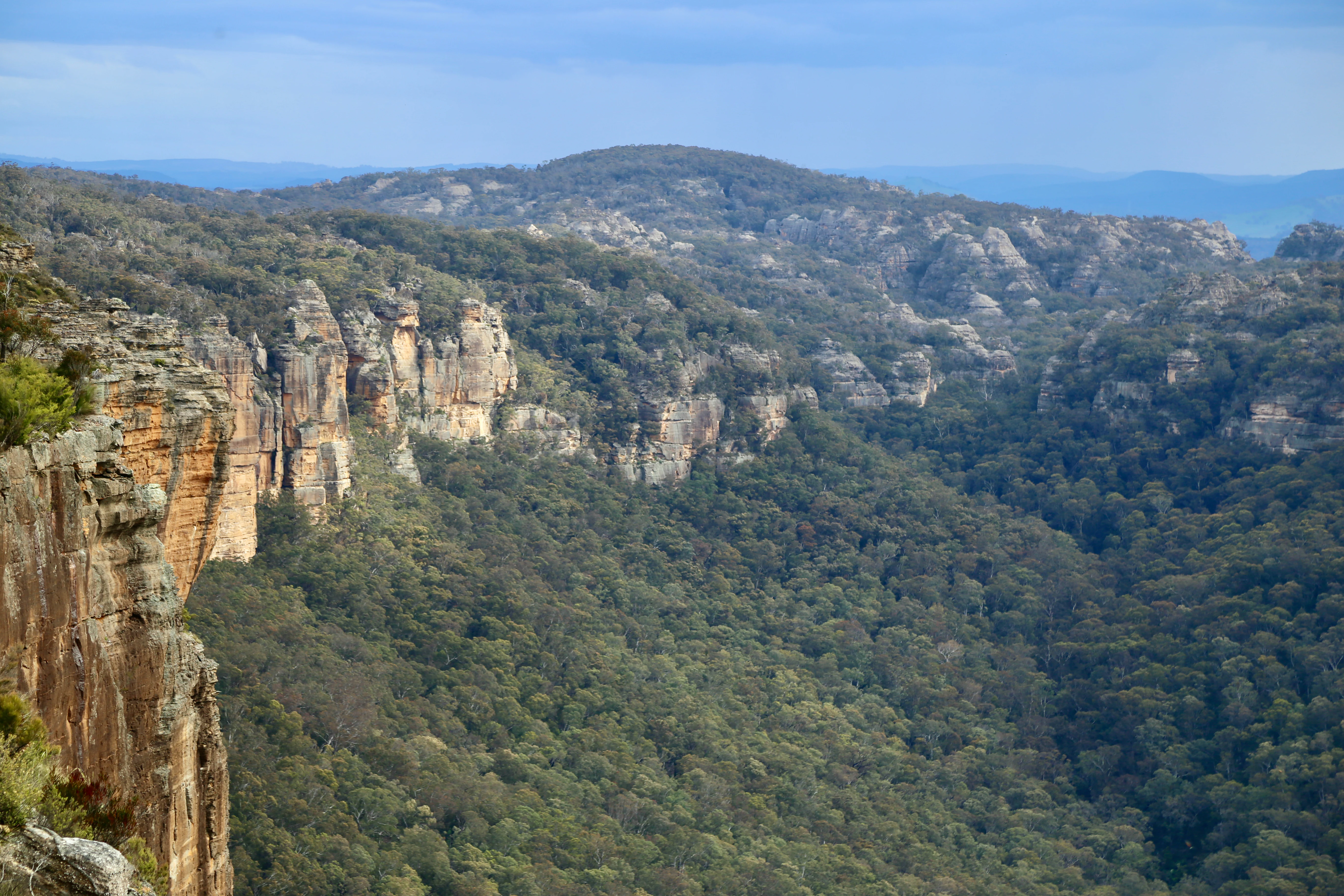
The landscape of Mugii Murum-ban is dominated by the vertical relief of two sandstone mesas that rise roughly 500 metres above the Capertee Valley. Genowlan Mountain and Mount Airly form the visual backbone of the park, separated from one another by the Airly Gap. Together they create a horizon of cliffs, ledges, and canyon walls that characterises this corner of the Blue Mountains sandstone belt.
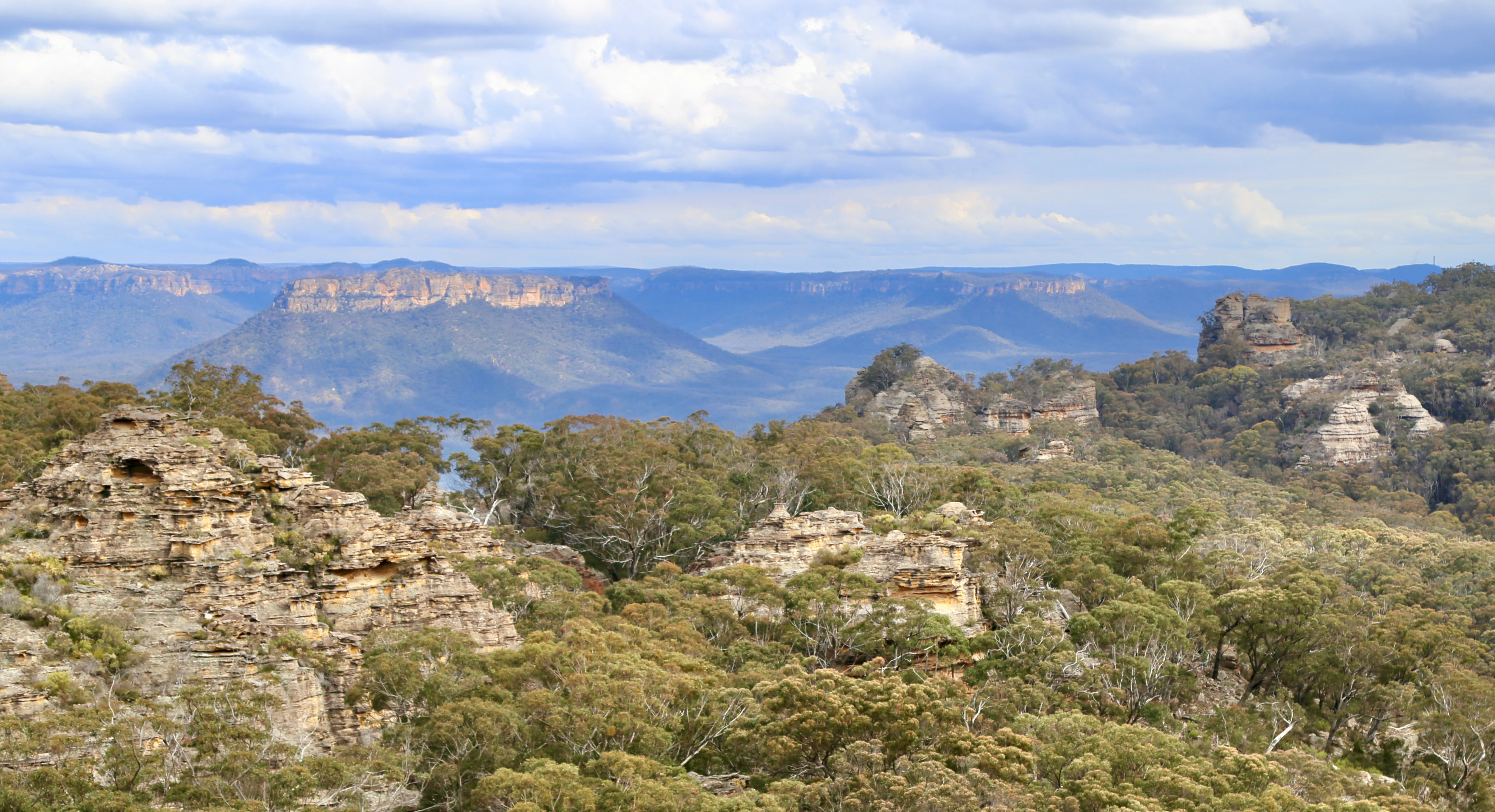
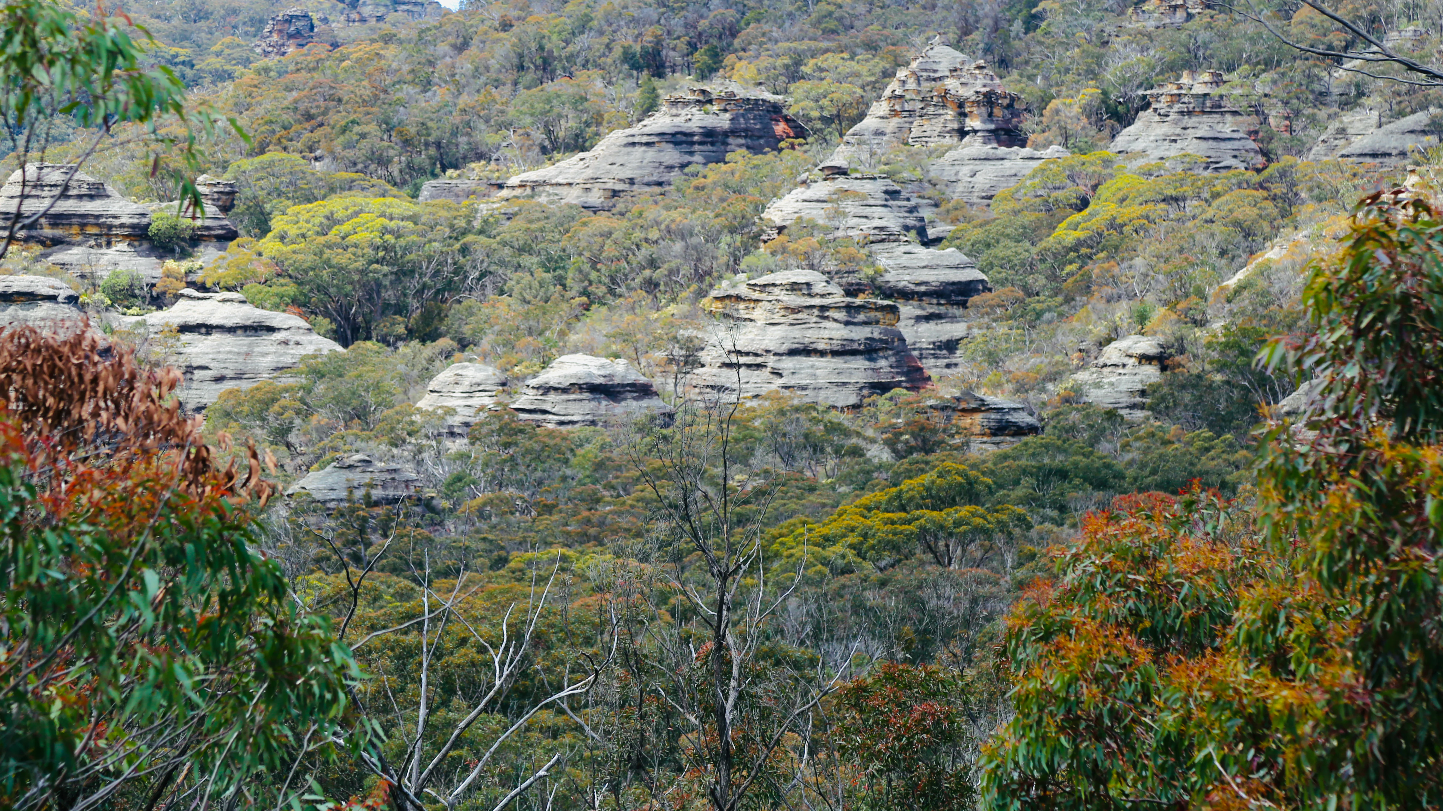
On top of the mesas the land is flat and exposed, with scattered basalt remnants adding subtle variation to the underlying sandstone. The mesas are densely decorated with 'pagoda' rock formations, the locally distinctive erosion features made up of stacked, fin-like columns of weathering sandstone. On Genowlan Mesa these pagodas cluster around landmarks such as the Citadel, the Valley of the Kings, and the Grotto. The northern and western edges of Mount Airly also feature dramatic pagoda formations, viewed against the surrounding valley walls.
The lower country is cut by deep slot canyons, including a feature informally known as 'Ultimate Slot', and by broader dry valley systems descending towards the Capertee floor. To the east and west, the reserved land gives way largely to cleared farmland, with some areas of remnant bushland marking the transition between the protected mesas and the agricultural valley. The result is a compact reserve in which tall cliff lines, isolated mesas, narrow slot canyons, and adjoining pastoral country come together into a single, highly scenic geological setting.
Mugii Murum-ban State Conservation Area ecosystems, habitats, and plant life
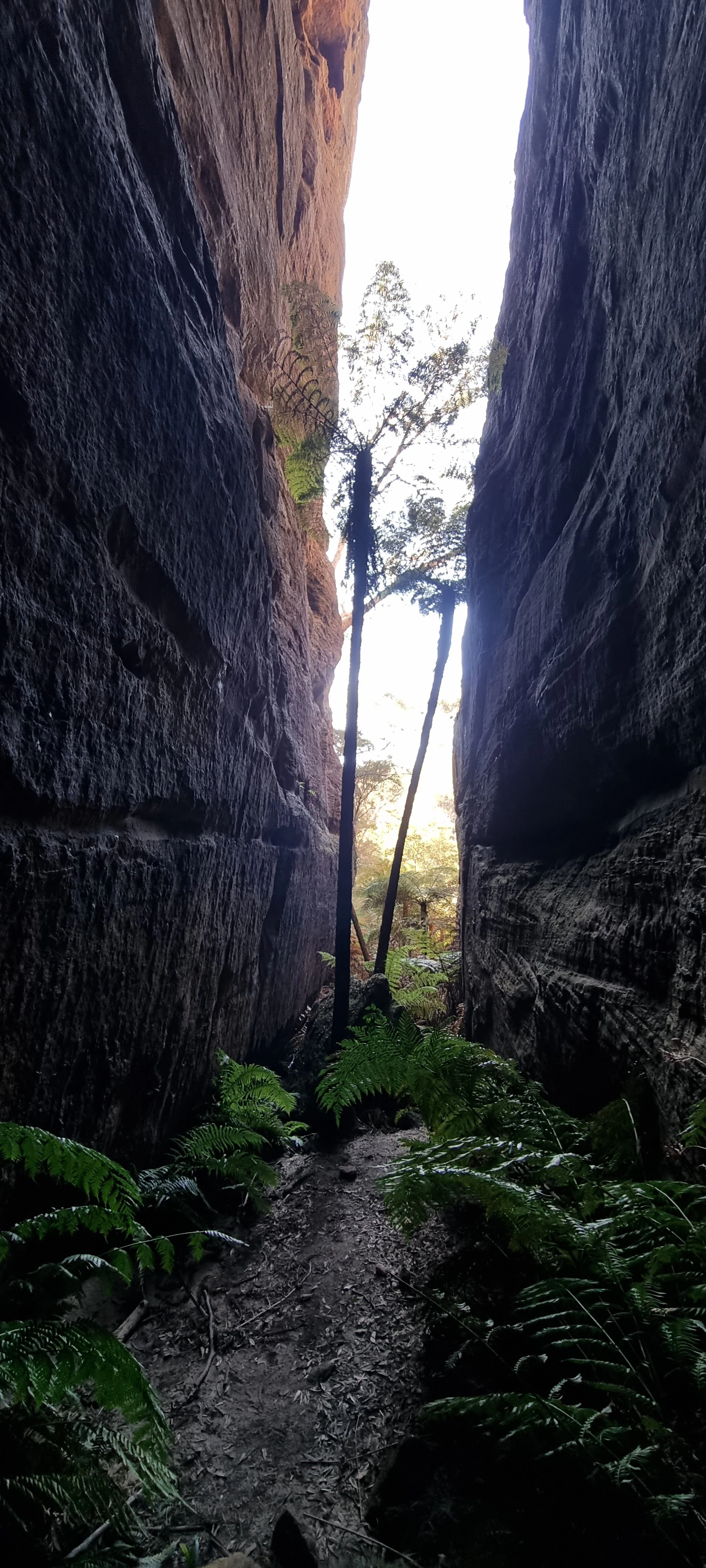
Within its 3,650 hectares, Mugii Murum-ban protects a notably diverse suite of ecosystems for its size. The mesa tops carry dry sandstone heath and woodland communities adapted to shallow soils and exposed rock, while small basalt patches add localised variation in soil chemistry and therefore in plant composition. Sheltered pockets such as the Grotto support moist microclimates that allow taller eucalypt forests and tree fern communities to persist, creating a striking vertical stratification of habitats within the park.
The reserve also contains two listed threatened ecological communities. One of the most ecologically important features is the relict plant community on the narrow headland of Genowlan Point. This community is unusual both in its composition and in its restricted distribution, and includes Johnson's Grass Tree, Allocasuarina nana, and Micromyrtus sessilis. The threatened Genowlan Point Pea (Pultenaea sp. Genowlan Pt) is also recorded here and has been the subject of specific conservation attention. In total, more than 340 plant species have been recorded across the park, alongside at least 75 mammal and bird species.
Mugii Murum-ban State Conservation Area wildlife and species highlights
Mugii Murum-ban supports a rich mix of sandstone and eucalypt woodland fauna, with more than 75 mammal and bird species recorded across the area. The mesa woodlands provide habitat for typical species of the broader Blue Mountains and Capertee Valley region, while the mosaic of dry heath, woodland, sheltered gullies, and cliff environments gives the park a broad range of ecological niches for wildlife in a small area.
The conservation area is noted as supporting several threatened plants and animals, and it sits within a wider landscape mosaic that includes adjacent reserves such as Gardens of Stone National Park and Capertee National Park. This connectivity allows wildlife to move between habitat types across the broader valley system. The combination of threatened ecological communities, rare plant species such as the Genowlan Point Pea, and diverse fauna gives the park a higher conservation weighting than its modest footprint would suggest.
Mugii Murum-ban State Conservation Area conservation status and protection priorities
Although it is one of the smaller protected areas in the New South Wales network, Mugii Murum-ban carries an outsized conservation profile. Its 3,650 hectares protect two threatened ecological communities, several threatened plant species, and at least one notable threatened animal species. These designations reflect the presence of vegetation communities and species that are vulnerable to clearing, fire, and disturbance elsewhere in the surrounding region.
The narrow headland of Genowlan Point is the focus of much of the park's conservation effort, including active protection for the threatened Genowlan Point Pea (Pultenaea sp. Genowlan Pt). The presence of small basalt caps on the sandstone mesas, the isolated relict plant community at Genowlan Point, and the sheltered microclimates in features like the Grotto together make the reserve a refuge for species and communities that may not persist in the more heavily disturbed surrounding farmland. As part of the chain of reserves bordering the Capertee Valley, Mugii Murum-ban also contributes to landscape-scale connectivity for biodiversity in this part of New South Wales.
Mugii Murum-ban State Conservation Area cultural meaning and human context
The cultural dimension of Mugii Murum-ban begins with its name. The reserve's title is the Wiradjuri name for Charlie Riley, drawn from 'mugii', a word for the southern boobook owl, and 'murum-ban', meaning 'eldest son'. The area is recognised as being of particular significance to the Wiradjuri Aboriginal people, and the choice of an indigenous name for the park underscores the ongoing connection between the landscape and the Traditional Owners of the region.
Layered on top of this indigenous heritage is a more recent industrial and settler history. The oil shale mining operations that began around Mount Airly and Airly Gap in 1893 left behind an extensive set of ruins, including tunnels, cableways, retorts, dwellings, stone houses, and chimneys at the New Hartley 'ghost town'. These remains now sit on the New South Wales Heritage List, providing a tangible record of one of the state's early attempts to develop a domestic oil industry. The combination of Wiradjuri cultural significance and industrial heritage gives the park a layered human story that complements its natural values.
Top sights and standout views in Mugii Murum-ban State Conservation Area
The signature highlight of Mugii Murum-ban is the skyline of Genowlan and Airly mesas rising above the Capertee Valley, with hundreds of pagoda rock formations, slot canyons such as 'Ultimate Slot', and the sweeping viewpoint across the Capertee Valley toward Pantoneys Crown. Within that setting, the Grotto stands out as a cool, sheltered pocket of Brown Barrel eucalypts and tree ferns, and Genowlan Point offers a walk through a narrow sandstone headland supporting a unique relict plant community.
Equally striking is the juxtaposition of culture and industry: the Wiradjuri significance carried in the park's name coexists with the heritage-listed ruins of the New Hartley oil shale mining settlement, including tunnels, cableways, and stone buildings scattered around Airly Gap. Together, these highlights make the conservation area a compact but unusually rich combination of sandstone scenery, threatened ecology, indigenous heritage, and mining history.
Best time to visit Mugii Murum-ban State Conservation Area
Mugii Murum-ban's character is shaped strongly by the seasons of the greater Blue Mountains and Capertee Valley region. Cooler months, from late autumn through early spring, tend to offer clearer views across the valley and crisper light on the sandstone cliffs and pagoda formations. This is often when the mesa tops are most comfortable for walking and when the cliffs and canyon country of Genowlan and Mount Airly are most photogenic.
Warmer months bring greener vegetation to the valley and the surrounding farmland, along with more variable temperatures on the exposed sandstone plateau. The sheltered microclimate of the Grotto, with its tall eucalypts and tree ferns, is particularly atmospheric in cooler and damper periods, when moisture enhances the rainforest-like feel of that small enclave. As with much of the surrounding sandstone country, visitors should be mindful of changing weather conditions and the exposed nature of the mesa tops when planning a trip.