
Lakes
Park geography
Mapped boundaries, regional distribution, and physical terrain characteristics of this protected landscape.
Nahuel Huapi National Park: geography
Location: Río Negro Province, Argentina. Recorded area: 7,050 km². Elevation: 720–3,574 m.
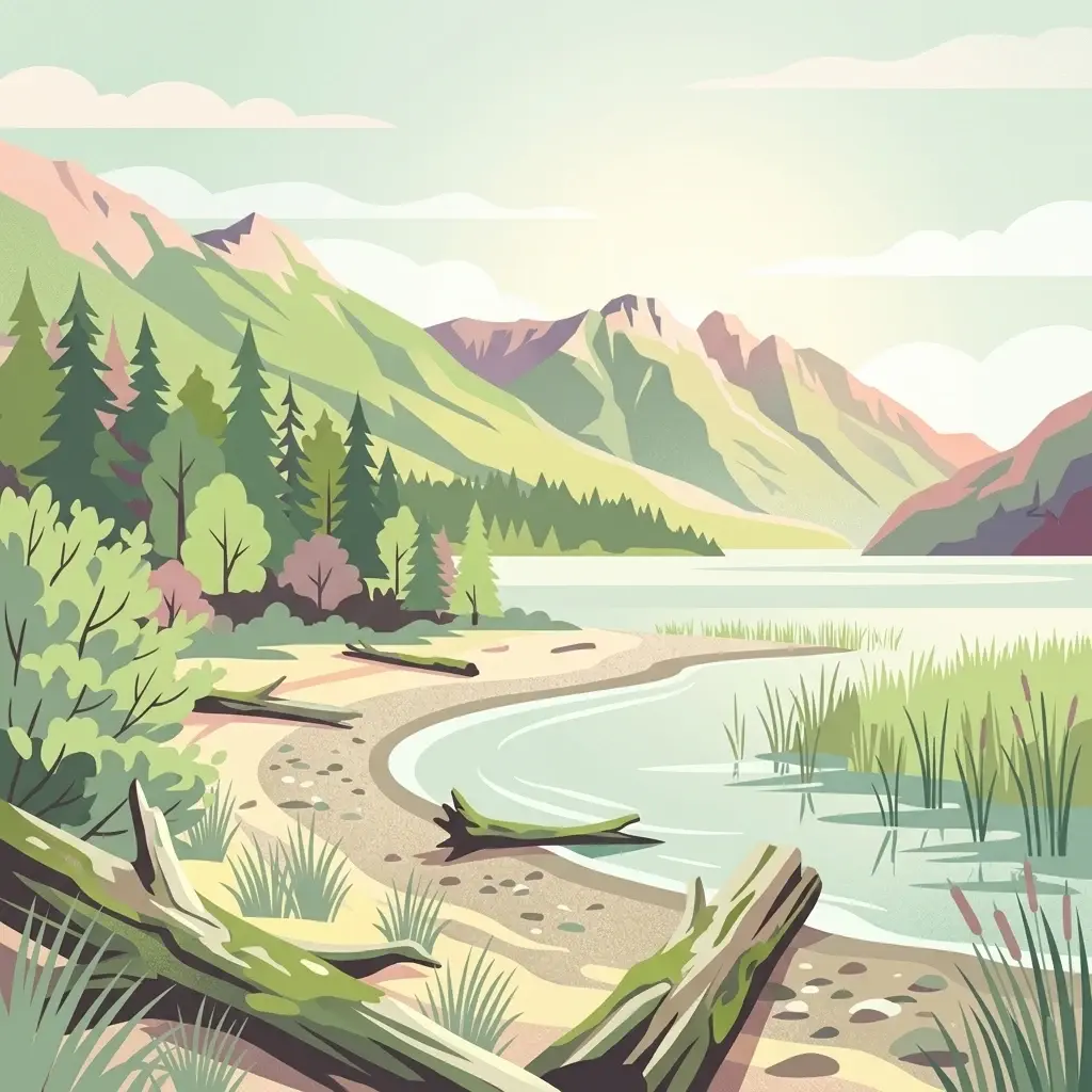
Argentina's oldest national park protecting Patagonian Andes wilderness around a legendary glacial lake
Nahuel Huapi National Park
Nahuel Huapi National Park is the oldest national park in Argentina, established in 1922 as Parque Nacional del Sur and renamed to its present name in 1934. The park surrounds the magnificent Nahuel Huapi Lake in the foothills of the Patagonian Andes, spanning the Río Negro and Neuquén provinces in southwestern Argentina, with the Chilean border forming its western boundary. Covering approximately 7,050 square kilometres, this vast protected area represents the north Patagonian Andean Zone with its distinctive landscape types ranging from the snow-capped Altoandino peaks above 1,600 metres through the dense Andino-Patagónico forests to the Patagonian Desert in the eastern reaches. The park also encompasses fragments of the Valdivia temperate rain forest, creating a remarkable diversity of ecosystems within a single protected landscape.
- Location
- Argentina
- Park type
- National park
- Established
- 1934
- Area
- 7,050 km²
- Highest point
- 3,491 m
Location overview
Regional spread across Río Negro Province and Neuquén Province
Geographic Setting and Location of Nahuel Huapi National Park
Nahuel Huapi National Park is located in Argentina, spanning Río Negro Province and Neuquén Province. Its geographic status includes both transboundary classification and recorded island territory.
- Countries
- Argentina
- Regions
- Neuquén Province, Río Negro Province
- Primary location
- Río Negro Province
- Geographic setting
- Transboundary · Island
Boundary and coordinates
Interactive spatial geometry and calculated area metrics
Nahuel Huapi National Park Boundary Map and Geographic Extent
Mapped boundary outlines provide reliable spatial context for evaluating regional terrain geometry. Structured measurement metrics detail the recorded area and coordinate spans without implying legal survey precision.
- Boundary area
- 7,160.3 km²
- Boundary perimeter
- 812.9 km
- Northernmost point
- 40.1429° S
- Southernmost point
- 41.6027° S
- Easternmost point
- 71.0319° W
- Westernmost point
- 71.9666° W
- Geographic centre
- 40.9543° S, 71.5366° W
- North–south span
- 162.1 km
- East–west span
- 78.8 km
Elevation and terrain
Recorded vertical range and internal peaks within the protected landscape
Nahuel Huapi National Park Elevation and Mountain Terrain Geography
Stored elevation records outline the mountain terrain summary and vertical range across the protected area. Linked feature cards supply names, types, and spatial relationships for recorded peaks and viewpoints.
Elevation span
2,854 m
Vertical extent from the lowest to the highest recorded elevation in the park
- Minimum elevation
- 720 m
- Maximum elevation
- 3,574 m
- Highest point
- 3,491 m
Selected named natural features
Islands
Isla Roble
Bays
Bahía Lavallol
Viewpoints
Mirador Sendero Turbera
Streams
Arroyo Fresco
Peaks
Cerro Cacho
1,985 m
Environmental setting
Temperate climate zones, dominant forest cover, and diverse mountain relief
Nahuel Huapi National Park Environmental Classifications And Geography
Recorded landscape features and habitat types serve as interpretive categories for reading the physical setting of Nahuel Huapi National Park. Connected atlas destinations link these stored environmental classifications to relevant regional geography.
- Relief
- Mountain
- Climate
- Temperate
- Water
- Water-dominated
- Forest cover
- Dense forest cover
- Seasonality
- Strongly seasonal
Landscape features
Mountains · Hills · Valleys · Cliffs · Forest · Grassland · Steppe · Lakes · Rivers · Waterfalls · Islands · Glacier · Volcano · Desert
Habitat types
Temperate broadleaf forest · Temperate coniferous forest · Alpine meadow · Grassland · Steppe · Desert habitat · Lacustrine habitat · Riverine habitat · Glacial habitat
Park atlas
Discover the diverse protected landscapes and regional park geography surrounding Argentina's oldest national park in Patagonia.
Explore Nearby National Parks and Protected Areas around Nahuel Huapi National Park
After exploring Nahuel Huapi National Park, you can browse a curated list of other national parks and protected areas located in the vast Patagonian Andean region. Compare their unique terrain, glacial lakes, and conservation features to trace the broader protected-area spread in this dramatic South American geography.
National parkNeuquén Province
Park boundaries overlap#1 closest
North

Lanín National Park
Explore the protected area's mapped terrain and glacial lakes.
Lanín National Park, in Neuquén Province, Argentina. Landscapes: mountains, forests, and lakes.
- Area
- 3,790 km²
- Established
- 1937
- IUCN
- II
- Relief
- Mountain

National parkNeuquén Province
Park boundaries overlap#2 closest
Northwest
Los Arrayanes National Park: Neuquén Province's Protected Arrayán Forest Atlas
Explore the ancient arrayán forest and mapped terrain.
Los Arrayanes National Park, nestled in Neuquén Province, is celebrated for its exceptional arrayán forest, one of the world's most concentrated stands of Luma apiculata. This protected area showcases a unique landscape where ancient, gnarled trees with striking cinnamon bark thrive on the Quetrihué Peninsula, overlooking Nahuel Huapi Lake. Its protected status ensures the preservation of this botanical marvel, offering a distinct geographical and ecological profile within the Patagonian region.
- Area
- 17.53 km²
- Established
- 1971
- IUCN
- II
- Relief
- Upland

National parkLos Lagos Region
Park boundaries overlap#3 closest
Northwest

Puyehue National Park: Mapped Boundaries and Volcanic Landscape in Los Lagos Region
Explore Chile's dramatic Andean protected area.
Puyehue National Park is a key protected area in the Los Lagos Region of Chile, recognized for its distinctive volcanic landscapes and geothermal features. This detail page offers an atlas-centric view, highlighting the park's mapped boundaries, the terrain shaped by volcanoes like Puyehue, and its ancient temperate rainforest ecosystems. Understand its geographic context within the Andes and its significance as a protected national park.
- Area
- 1,070 km²
- Established
- 1941
- IUCN
- II
- Visitors
- 133K annual

National parkLos Lagos Region
Park boundaries overlap#4 closest
West
Vicente Pérez Rosales National Park: Protected Landscape & Regional Geography Atlas
Mapped park boundaries and natural terrain in Los Lagos Region.
Delve into the protected area identity of Vicente Pérez Rosales National Park, a significant national park situated in Chile's Los Lagos Region. This detailed exploration focuses on understanding the park's geographic setting, its mapped landscape features, and its contribution to the regional atlas of protected territories. Discover the natural terrain and boundary context that define this unique Chilean landscape.
- Area
- 2,530 km²
- Established
- 1926
- IUCN
- II
- Visitors
- 332.3K annual
National parkLos Lagos Region
38 km away#5 closest
Southwest
Hornopirén National Park: Mapped Protected Landscape and Geographic Identity
Explore the national park's mapped boundaries and regional context.
Hornopirén National Park serves as a crucial protected landscape within Chile's Los Lagos Region. This dedicated park page offers detailed insight into its geographic setting, emphasizing mapped boundaries and its identity as a national park. Users can explore how Hornopirén National Park contributes to the regional geography and protected-area framework, providing a grounded point for landscape discovery.
- Area
- 482 km²
- Established
- 1988
- IUCN
- II
- Relief
- Mountain

National parkLos Lagos Region
42 km away#6 closest
Southwest
Alerce Andino National Park: Protected Landscape Within Los Lagos Region Geography
Explore the national park's mapped boundaries and regional context.
Delve into the protected landscape of Alerce Andino National Park, a distinct national park entity situated in Chile's Los Lagos Region. This focus provides a clear understanding of its geographic setting, highlighting its importance within regional conservation efforts and offering a detailed view of its mapped terrain. Understand the park's place in the southern Chile geography through this detailed exploration.
- Area
- 393 km²
- Established
- 1982
- IUCN
- II
- Visitors
- 12.2K annual
National parkChubut Province
54 km away#7 closest
South
Lago Puelo National Park: A Unique Protected Landscape at the Intersection of Biomes
Explore its glacial terrain and Andean-Patagonian geographic context.
Lago Puelo National Park, located in Argentina's Chubut Province, stands out as a significant protected area due to its remarkable ecological diversity. This park is distinguished by its rare transition zone where the Patagonian forest converges with the Andean steppe, incorporating flora typically found in the Valdivian temperate rainforest. The mountainous landscape, carved by glaciers, features the striking turquoise waters of Puelo Lake and surrounding river systems. Understanding Lago Puelo National Park's geography provides insight into the complex natural systems of Patagonia and its unique protected biomes.
- Area
- 276.74 km²
- Established
- 1971
- IUCN
- II
- Relief
- Mountain
National parkLa Araucanía Region
57 km away#8 closest
North
Villarrica National Park: Chile's Protected Landscape in La Araucanía Region
Mapped boundaries and regional geography exploration
Villarrica National Park represents a crucial protected area within the diverse geography of Chile's La Araucanía Region. This atlas-focused entry provides detailed geographic context and mapped park boundaries, essential for understanding the park's landscape identity. Explore the foundational elements of this national park for structured geographic discovery.
- Area
- 630 km²
- Established
- 1940
- IUCN
- II
- Visitors
- 115.8K annual
MoriAtlas Explorer
Nahuel Huapi National Park
Explore the map, landscapes, and protection details for Nahuel Huapi National Park.
Browse next
Global natural geography
Explore related park routes
Explore MoriAtlas Global ParksBrowse All MoriAtlas ParksGlobal Park Map DiscoveryMoriAtlas: Browse All CountriesBrowse All MoriAtlas ContinentsNational Park Environment AtlasGrand Canyon National Park AtlasYellowstone National Park AtlasYosemite National Park Atlas and GeographySerengeti National Park AtlasGalápagos National Park Protected LandscapeBanff National Park Geography and AtlasKruger National Park Atlas EntryExplore Uluru-Kata Tjuta National Park GeographyPlitvice Lakes National Park AtlasFiordland National Park Protected LandscapeGreat Smoky Mountains National Park AtlasZion National Park Protected Landscape AtlasAfghanistan National Parks and Protected AreasAlbania National Parks and Protected AreasAlgeria National Parks and Protected AreasAmerican Samoa National Parks and Protected AreasAndorra National Parks and Protected AreasAngola National Parks and Protected AreasAntarctica National Parks and Protected AreasAntigua and Barbuda Park List