

Wetlands
Park geography
Detailed analysis of terrain elevations, water systems, and protected woodland landscapes
Comprehensive Geographic Profile and Mapped Boundaries of Naturpark Rheinland in Germany
This geographic profile covers the 1045 square kilometer extent of Naturpark Rheinland, a protected landscape situated within the North Rhine-Westphalia region of Germany. Discover structured data regarding the upland relief, including a maximum elevation of 206 meters, alongside a variety of wetlands, lakes, and streams like the Erftmühlenbach and Steinbach that shape this temperate environment.
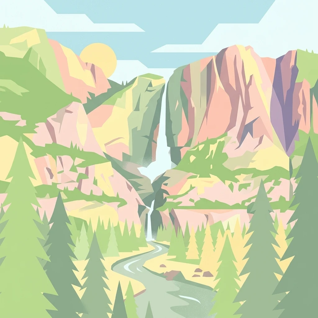
A vast Rhineland nature park between the Rhine plain and the Erft valley, blending ancient forest, reclaimed mining land, and urban green space near Cologne and Bonn.
Naturpark Rheinland
Naturpark Rheinland is one of the largest protected natural areas in North Rhine-Westphalia, stretching across more than a thousand square kilometers west of Cologne and Bonn between the Rhine plain and the Erft valley. Its territory combines deeply wooded uplands, the flat ridge of the Kottenforst, the gentle heights of the Ville with their reclaimed opencast mining landscapes, and finger-like northern extensions carved by the Erft floodplain. The park is characterized by a remarkable mix of historical cultural landscapes and modern land reclamation. Roughly half of its area is forested, much of it centered on the Kottenforst, while a substantial portion consists of reclaimed former lignite mining land that has been turned into the Ville lake district and connected recreational areas. Together, these elements create a continuous green corridor that effectively functions as a third green belt for the Cologne-Bonn urban region. Ecologically, the park protects a mosaic of mixed broadleaf and conifer forest, floodplain wetlands along the Erft, isolated populations of protected amphibians, and the slowly maturing woodland plantations that grew out of early twentieth-century reclamation experiments. Its accessibility from major cities and its layered blend of forest, lakes, wetlands, and historical settlement landscape make Naturpark Rheinland a defining example of a metropolitan nature park in western Germany.
- Location
- Germany
- Park type
- Protected landscape
- Established
- 1959
- Area
- 1,045 km²
- Highest point
- 206 m
Location overview
Country and Regional Setting in Germany
Naturpark Rheinland Geographic Overview and Location
Naturpark Rheinland is situated within Germany in the region of North Rhine-Westphalia. The overview outlines recorded administrative memberships and high-level geographic status for the protected area.
- Countries
- Germany
- Regions
- North Rhine-Westphalia
- Primary location
- North Rhine-Westphalia
- Geographic setting
- Inland
Boundary and coordinates
Explore recorded boundary geometry and derived spatial measurements.
Naturpark Rheinland Boundary Map and Mapped Geography
Interactive boundary mapping provides clear spatial context for the protected area. Accompanying facts outline area metrics, coordinate limits, and geographic spans without legal survey precision.
- Boundary area
- 1,097.8 km²
- Boundary perimeter
- 368.5 km
- Northernmost point
- 51.0687° N
- Southernmost point
- 50.5559° N
- Easternmost point
- 7.1998° E
- Westernmost point
- 6.5179° E
- Geographic centre
- 50.7681° N, 6.8456° E
- North–south span
- 57.1 km
- East–west span
- 48.1 km
Elevation and terrain
Upland topography and recorded natural water features
Naturpark Rheinland Terrain and Elevation Summary
Recorded elevation metrics outline an upland relief profile reaching a maximum point of two hundred six meters across the protected area. Linked feature records detail internal streams, lakes, and peaks with verified spatial relationships.
- Maximum elevation
- 206 m
- Highest point
- 206 m
Selected named natural features
Lakes
Kasterer See
Streams
Zugenbach
Peaks
Hochkopf
380.1 m
Lakes
Badesee
Peaks
Lauerzberg
307 m
Environmental setting
Temperate upland relief, major water bodies, and partial forest cover
Naturpark Rheinland Environmental Setting and Protected Landscape Classification
Recorded habitat types, landscape features, and relief classifications frame the physical setting across the terrain of Naturpark Rheinland. Stored environmental categories connect directly to corresponding protected-area records within the regional atlas.
- Relief
- Upland
- Climate
- Temperate
- Water
- Major water bodies
- Forest cover
- Partial forest
- Seasonality
- Year-round
Landscape features
Hills · Forest · Woodland · Wetland · Lakes · Rivers · Cliffs
Habitat types
Temperate broadleaf forest · Temperate coniferous forest · Wetland · Lacustrine habitat
Park atlas
Compare adjacent lowland forests and regional protected areas across western Germany
Explore Other Parks Near Naturpark Rheinland and Surrounding Protected Landscapes
Browsing other protected areas near Naturpark Rheinland reveals a diverse network of regional lowland forests, reclaimed lake districts, and river valleys. Comparing these neighboring natural zones provides deeper geographic context for the metropolitan green belt surrounding Cologne and Bonn.
Nature reserveNordrhein-Westfalen
Mapped location lies within the park boundary#1 closest
Northeast

Heider Bergsee Nature Reserve: Geographic Context and Protected Landscape Map
A recovered lake landscape in the North Rhine-Westphalia region of Germany
Discover the complex geography of Heider Bergsee, a prominent nature reserve and post-mining lake in the Ville region. This area showcases how nutrient-poor water and managed forest edges create a vital ecosystem within North Rhine-Westphalia, providing a distinct study in landscape restoration and protected-area mapping.
- Area
- 0.354 km²
- Established
- 1965
- Relief
- Lowland
- Climate
- Temperate
Nature reserveNorth Rhine-Westphalia
Mapped location lies within the park boundary#2 closest
East
Herseler Werth Nature Reserve: Geographic Overview of the Rhine River Island Landscape
A strictly protected riverine refuge in North Rhine-Westphalia
Herseler Werth represents a unique study in protected geography as the only non-publicly accessible Rhine island within North Rhine-Westphalia. Spanning 14.8 hectares, this long, narrow river island serves as a critical, human-excluded sanctuary that protects endangered species from industrial and urban disturbance. Its mapped boundaries and poplar-covered terrain illustrate the complex interaction between historical river hydrology and modern conservation efforts along the busy Bonn-Cologne corridor.
- Area
- 0.148 km²
- Established
- 1993
- Relief
- Lowland
- Climate
- Temperate
Nature reserveNordrhein-Westfalen
Mapped location lies within the park boundary#3 closest
North
Hürther Waldsee Nature Reserve: Mapped Protected Geography and Reclaimed Mining Landscape
Ecological refuge on the Ville lake plateau of Germany
Examine the boundaries and natural features of Hürther Waldsee, a significant nature reserve in the Nordrhein-Westfalen region. This ten-hectare reclaimed mining lake offers a detailed map of post-industrial ecological recovery, featuring engineered islands, reed beds, and young beech and alder woodlands that define its protected status.
- Area
- 0.106 km²
- Established
- 1988
- Relief
- Lowland
- Access
- Moderate access
Nature reserveNordrhein-Westfalen
Mapped location lies within the park boundary#4 closest
North
Kernzone Ommelstal: Geographic Overview of the Protected Nature Reserve in Germany
A stream-valley mosaic within the Nordrhein-Westfalen loess plains.
Kernzone Ommelstal acts as a localized sanctuary of wet woodlands, ponds, and marshy ground situated in the fertile farming landscapes of Nordrhein-Westfalen. This 14-hectare reserve serves as a critical study of how small-scale landscape incisions, shaped by the Fliestedener Bach, create essential niches for habitat protection in intensively cultivated regions.
- Area
- 0.143 km²
- Established
- 2017
- IUCN
- IV
Nature reserveCologne
Mapped location lies within the park boundary#5 closest
Northeast
Kiesgruben Meschenich: Geographic Analysis of a Cologne Nature Reserve Landscape
Examining the ecological terrain and mapped gravel-pit habitat network.
Kiesgruben Meschenich offers a distinct study in regional conservation, presenting a complex of excavation lakes, raw gravel substrates, and wetland fringes. This protected area stands as a primary example of how industrial remnants transform into valued ecological hubs, serving as a critical refuge for biodiversity in the densely populated Rhine landscape of North Rhine-Westphalia.
- Area
- 0.265 km²
- Established
- 1991
- Relief
- Lowland
- Scope
- Terrestrial
Nature reserveNordrhein-Westfalen
Mapped location lies within the park boundary#6 closest
Southeast
Kottenforst-Waldville Nature Reserve: Protected Landscape Geography and Forest Mapping
A significant oak-hornbeam woodland complex within Nordrhein-Westfalen.
Kottenforst-Waldville comprises extensive, interconnected forest blocks defined by their high-value oak-hornbeam stands and rare woodland pools known as Maare. This protected area supports a dense regional network of spring brooks and floodplain woodlands, serving as a critical refuge for woodpecker populations and raptors within the anthropogenically shaped landscape of the Rhine valley.
- Area
- 35.853 km²
- Established
- 2004
Nature reserveNorth Rhine-Westphalia
Mapped location lies within the park boundary#7 closest
Southeast
Melbtal Nature Reserve in North Rhine-Westphalia: Map, Terrain, and Geographic Context
Deep-cut forested valley with unique geological instability
Melbtal stands as a protected nature reserve in Bonn, Germany, defined by its steep wooded slopes and the meandering Melbbach. This geographic entity offers a study in earth-science dynamics, featuring active landslides and a distinct cold-air flow that persists within a dense urban setting. Use this atlas perspective to understand the boundaries, terrain, and layered cultural history of one of the region's most prominent green corridors.
- Area
- 0.2 km²
- Established
- 2013
- IUCN
- IV
- Relief
- Upland
Nature reserveNordrhein-Westfalen
Mapped location lies within the park boundary#8 closest
Southeast
Quarzsandgrube Nature Reserve: Geographic Profile and Protected Landscape Context
Protected mosaic of pioneer habitats in the Rhein-Sieg-Kreis
Located on the terrace slopes of the Rhein-Sieg-Kreis, Quarzsandgrube represents a significant refuge for early successional flora and fauna. The site features an uneven terrain of exposed sandy soils and water-filled hollows, providing a vital habitat corridor alongside adjacent protected areas. This detailed geographic profile maps the environmental conditions that define its current status as a protected nature reserve.
- Area
- 0.29 km²
- Established
- 1994
- IUCN
- IV
MoriAtlas Explorer
Explore the Detailed Geography and Protected Boundaries of Naturpark Rheinland
Deepen your understanding of Naturpark Rheinland by examining its unique terrain, from the star-shaped hunting rides of the Kottenforst to the Ville lake district. Use the MoriAtlas dataset to trace the boundaries and regional environmental context of this significant German protected area.
Browse next
Global natural geography
Explore related park routes
Explore MoriAtlas Global ParksBrowse All MoriAtlas ParksGlobal Park Map DiscoveryMoriAtlas: Browse All CountriesBrowse All MoriAtlas ContinentsNational Park Environment AtlasGrand Canyon National Park AtlasYellowstone National Park AtlasYosemite National Park Atlas and GeographySerengeti National Park AtlasGalápagos National Park Protected LandscapeBanff National Park Geography and AtlasKruger National Park Atlas EntryUluṟu-Kata Tjuṯa National Park AtlasExplore Uluru-Kata Tjuta National Park GeographyPlitvice Lakes National Park AtlasFiordland National Park Protected LandscapeGreat Smoky Mountains National Park AtlasAfghanistan National Parks and Protected AreasAlbania National Parks and Protected AreasAlgeria National Parks and Protected AreasAmerican Samoa National Parks and Protected AreasAndorra National Parks and Protected AreasAngola National Parks and Protected AreasAntarctica National Parks and Protected AreasAntigua and Barbuda Park List