
Mori Atlas logo
Protected landscapeNaturpark Rheinland

Tracing the geological and cultural geography of western Germany's expansive nature park

Naturpark Rheinland: An Atlas of Protected Landscapes and Metropolitan Green Corridors

Naturpark Rheinland serves as a vital green corridor in North Rhine-Westphalia, stretching between the Rhine plain and the Erft valley. This protected landscape encompasses a unique relief of reclaimed mining lake districts, the geometric forest patterns of the Kottenforst, and lush riverine wetlands. The park provides an essential geographic link for the Cologne-Bonn region, blending centuries of historical hunting heritage with modern ecological restoration.

nature parkRhinelandlowland forestreclaimed mining landscapelake districtwetland forest
A graphic illustration showing steep cliffs, a waterfall flowing into a river, and evergreen trees in a simplified, flat art style.

Naturpark Rheinland

Protected landscape

Park overview

Structured park overview, official facts, and landscape profile for Naturpark Rheinland

Naturpark Rheinland park facts, protected area profile, and essential visitor context

Review the core facts for Naturpark Rheinland, including designation, size, terrain, visitor scale, habitats, and operating context in one park-focused overview.

About Naturpark Rheinland

Naturpark Rheinland lies in the western part of the Cologne-Bonn metropolitan region, forming a continuous green expanse between the Rhine River and the western edge of the Ville ridge. It spans parts of three administrative districts and covers around 1,045 square kilometers, making it one of the largest nature parks in North Rhine-Westphalia.

The park is organized around several clearly distinct landscape zones. In the south, the Kottenforst forms a roughly forty-square-kilometer flat, predominantly forested area southwest of Bonn. Its remarkable star-shaped network of paths, the so-called Schneisen, was laid out in the eighteenth century for parforce hunting and still defines the forest's structure today. The Ville ridge runs through the middle of the park, dropping sharply eastward toward the Cologne Bay, while its northern sections have been profoundly reshaped by lignite mining and subsequent reclamation. In the north, the park's boundaries extend outward in finger-like projections around Pulheim, Bergheim, Bedburg, and Kerpen, where floodplain and wet forests line the Erft.

Reclamation is central to the park's modern identity. The northern Ville has been transformed by decades of opencast lignite mining into the Ville lake district, a landscape of roughly forty lakes and ponds used for swimming, diving, fishing, and general recreation. Forests of oak, beech, pine, larch, and black locust planted on former mine land now form a maturing secondary woodland. A first pilot afforestation was already begun near Hürth in 1920.

Beyond its natural qualities, Naturpark Rheinland serves as the outer green belt of the Cologne-Bonn city region, connecting the inner and outer Cologne green belts to the rural landscape of the Ville, the Rhine floodplain near Brühl, and the recreation zones west of Cologne. Its administrative seat is the Naturparkzentrum Himmeroder Hof in Rheinbach, with additional information centers at Schloss Paffendorf for energy and reclamation themes and at the Gymnicher Mühle for milling heritage and park information.

Quick facts and research context for Naturpark Rheinland

Naturpark Rheinland is a roughly 1,045-square-kilometer nature park situated west of Cologne and Bonn, between the Rhine lowland plain and the Erft river valley. It was founded in 1959 as Naturpark Kottenforst and was later extended to include the Ville reclamation areas, adopting its present name in December 2005.

Roughly half of the park's surface is forested and another large share is protected as landscape conservation area, with about nine percent under formal nature protection. The park spans three administrative districts, the Rhein-Erft-Kreis, the Kreis Euskirchen, and the left-Rhine part of the Rhein-Sieg-Kreis, and connects directly to the urban edges of Cologne and Bonn through a network of green corridors.

Protection and recognition

Documented terrestrial conservation scope and official establishment records

Naturpark Rheinland Protection Status and Designation History

Naturpark Rheinland maintains a documented terrestrial protection status established in the year 2005. Verified conservation records outline the official management scope and designation history for this protected area.

Protection details

Protection scope
Terrestrial
Designated year
2005
Transboundary protection
No
Park context

Deeper park guide and search-rich context for Naturpark Rheinland

Naturpark Rheinland history, landscape, wildlife, and travel context

Explore Naturpark Rheinland through its history, landscape character, ecosystems, wildlife, conservation priorities, cultural context, and seasonal travel timing in a structured park guide built for atlas discovery and search intent.

Why Naturpark Rheinland stands out

Naturpark Rheinland is best known for its combination of large, quiet lowland forests, the distinctive reclaimed mining lake district of the Ville, and the park's role as the primary near-natural recreation landscape for the Cologne-Bonn metropolitan region. The park is also recognized for its unusual historical forest geometry: the Kottenforst is crossed by a star-pattern of eighteenth-century hunting rides radiating from the vanished Schloss Herzogsfreude, created for the parforce hunts of Elector Clemens August. This blend of Baroque hunting heritage, modern landscape reclamation, and accessible metropolitan green space gives the park a strongly layered identity.
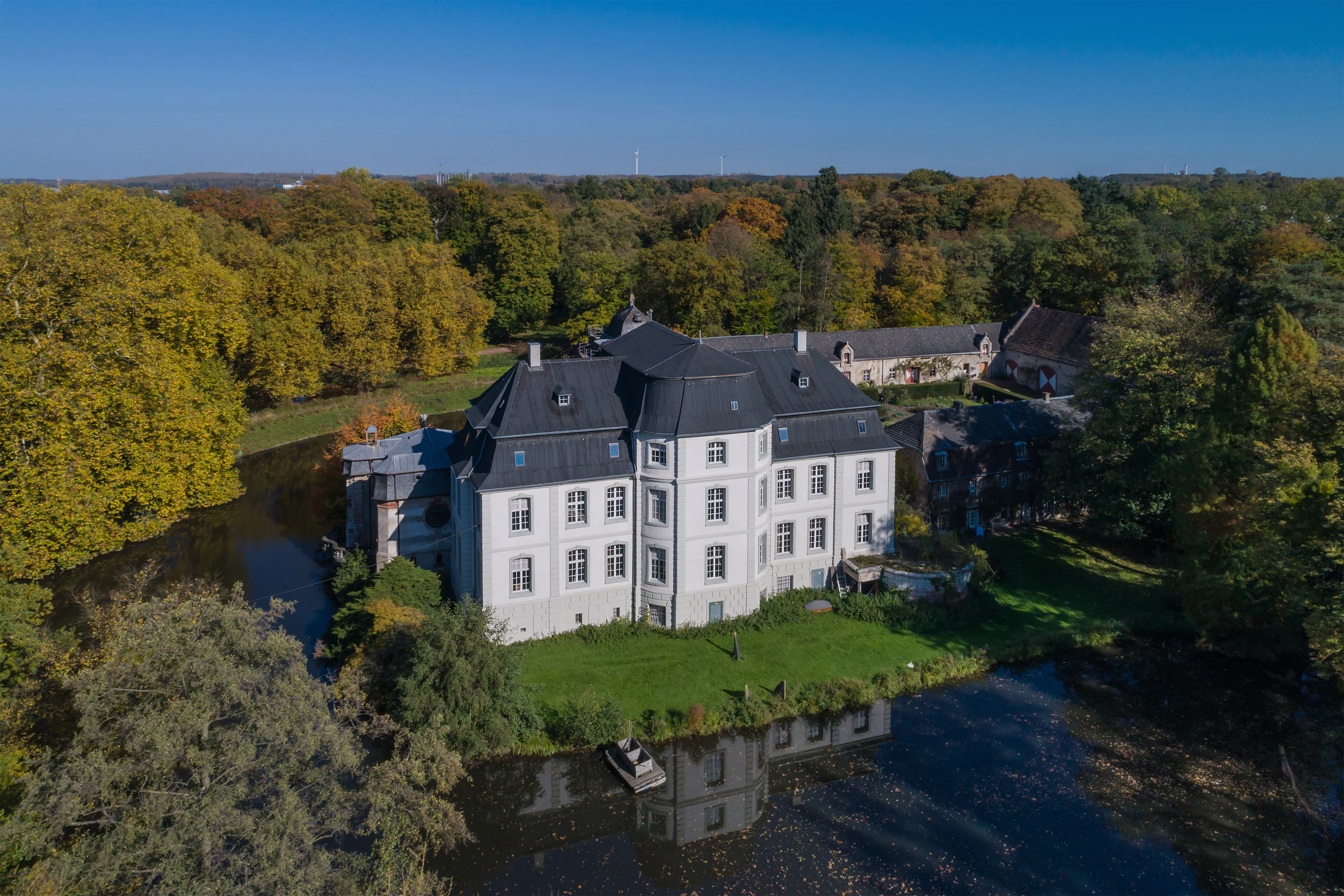
Aerial view of a white, multi-story Baroque-style manor house with a dark gabled roof, surrounded by a moat and dense autumn-colored trees.
An aerial view of the historic Schloss Türnich, surrounded by a moat and lush parkland in the Naturpark Rheinland.

Naturpark Rheinland history and protected-area timeline

The history of Naturpark Rheinland begins in 1959 with the establishment of Naturpark Kottenforst around the Kottenforst forest and the adjacent Rheinbach forest. Founded after the Siebengebirge park, it was the second nature park in North Rhine-Westphalia and one of the first seven in the young Federal Republic of Germany, following the 1956 initiative of Alfred Toepfer, who had promoted the concept of a nature park from Bonn.

In 1965, the neighboring districts, cities, the Landschaftsverband Rheinland, and the Rheinbraun AG jointly created the Erholungspark Ville to manage the newly reclaimed mining landscapes. In 1967, this recreation park was merged with the original nature park to form Naturpark Kottenforst-Ville, placing both forests and reclaimed areas under a single authority based in the Regierungsbezirk Köln. In 1978, a dedicated Zweckverband was created with the city of Bonn, the Rhein-Sieg-Kreis, the Kreis Euskirchen, the Rhein-Erft-Kreis, the city of Cologne, and, as successor to Rheinbraun, RWE Power, giving the park its modern sponsoring body. The park's current boundaries were fixed by the state of North Rhine-Westphalia in 1986.

On 12 December 2005, the assembly decided to rename the entity Naturpark Rheinland, a choice intended to make the park easier to locate geographically and to support tourism. In 2008, the park shared the title of Nature Park of the Year 2009 for the fourteen North Rhine-Westphalian nature parks, jointly with Naturpark Teutoburger Wald and Eggegebirge, securing a project grant. Since 2006, the park has also been pursuing a cooperation with the Ria Formosa nature park near Olhão in the Portuguese Algarve.

Naturpark Rheinland landscape and geographic character

Naturpark Rheinland's landscape is shaped by the transition between the lowland Rhine plain and the uplifted Ville ridge, a transitional zone with a strongly varied relief. The Ville rises to about 170 meters above sea level on its natural crest but reaches 205.8 meters at the Glessener Höhe because of mining overburden dumping. Eastward, the ridge breaks abruptly toward the Cologne Bay, creating a steep sixty- to one-hundred-meter drop, while westward toward the Erft valley and the Voreifel the relief descends more gradually.

The Kottenforst in the south forms a flat, largely forested extension above the Cologne Bay. Its most distinctive visual feature is the geometric network of straight rides cut for parforce hunting, which converge on the site of the former Schloss Herzogsfreude. The northern Ville has been reshaped by lignite mining into a gentle, partly water-filled terrain dotted with lakes, dams, and young woodland plantations. Along the Erft floodplain, inset wet woodlands and groves create a low, riverine landscape in strong contrast with the dry uplands.

Around Kerpen, Bergheim, Bedburg, and Pulheim, the park's boundaries form narrow finger-like projections. Near Kerpen, ribbon-shaped riparian forests and wet woodlands sit as island habitats within and along the Erft floodplain, including areas noted for their extensive lily-of-the-valley carpets. The reclaimed open-pit lands north of Brühl have been reshaped into the dense cluster of lakes and small ponds that constitute the Ville lake district.
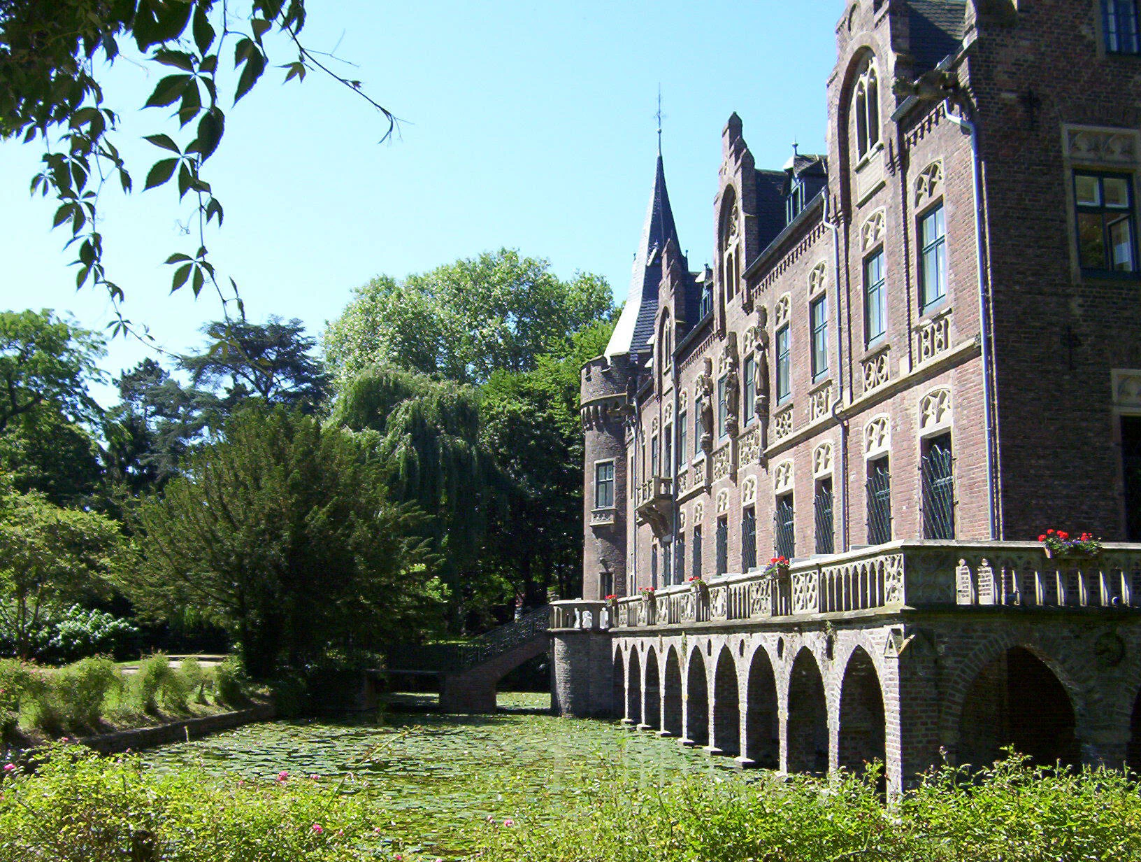
A multi-story brick castle with stone arched balconies overlooking a water-lily covered moat, surrounded by lush green parkland.
Schloss Paffendorf, a historic castle serving as a visitor center within Naturpark Rheinland.

Naturpark Rheinland ecosystems, habitats, and plant life

Ecologically, Naturpark Rheinland combines three very different habitat systems into a single continuous area. The southern Kottenforst and the wooded crest of the Ville represent the park's core forest habitat, dominated historically by spruce plantations alongside mixed broadleaf woodland, enriched locally by old "Kopfbuchen" or "Gespensterbuchen," formerly pollarded beech trees that took on bizarre shapes from regrowth after regular firewood cutting. The damp hollows of the Kottenforst support characteristic spring flora such as lily-of-the-valley and wood anemones.

In the north, the Erft floodplain and the wet woodlands near Kerpen form the park's primary wetland habitat, including scattered island biotopes of alluvial and boggy forest. These floodplain woodlands shelter protected species and add biodiversity contrast to the surrounding dry forests and reclaimed open land. The lake district of the Ville introduces a still newer habitat system that has matured from opencast mining pits into a network of freshwater bodies of varying size, edged by young mixed forest planted since the early twentieth century.
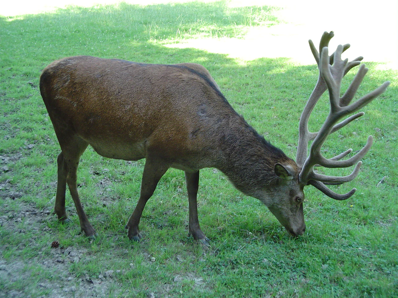
A brown red deer with large antlers grazing on a green grassy field.
A red deer grazing in the Kottenforst area of Naturpark Rheinland.

Naturpark Rheinland wildlife and species highlights

Wildlife in Naturpark Rheinland reflects the park's mixed mosaic of forest, wetland, and reclaimed lake land. The damp woodlands and natural shallow lakes of the Kottenforst and around Brühl host a particularly notable species, the agile frog, which occurs here in an isolated island population. This species is strictly protected under the European Habitats Directive and is listed on Germany's Red List of threatened species.

Forest fauna is dominated by typical central European woodland species, with red deer as one of the park's most visible large mammals; the Kottenforst maintains a wildlife park area where red deer can often be observed. The wet woodlands along the Erft harbor amphibian populations and forest birdlife associated with alluvial and boggy habitats, while the reclaimed lake zones of the Ville increasingly host waterfowl and other freshwater-associated species as the artificial lakes mature. The Burgwald forest to the northeast, connected to the park's wider ecological context, illustrates the regional importance of the area for forest-dependent fauna, though parts of that forest are now threatened by ongoing mining.
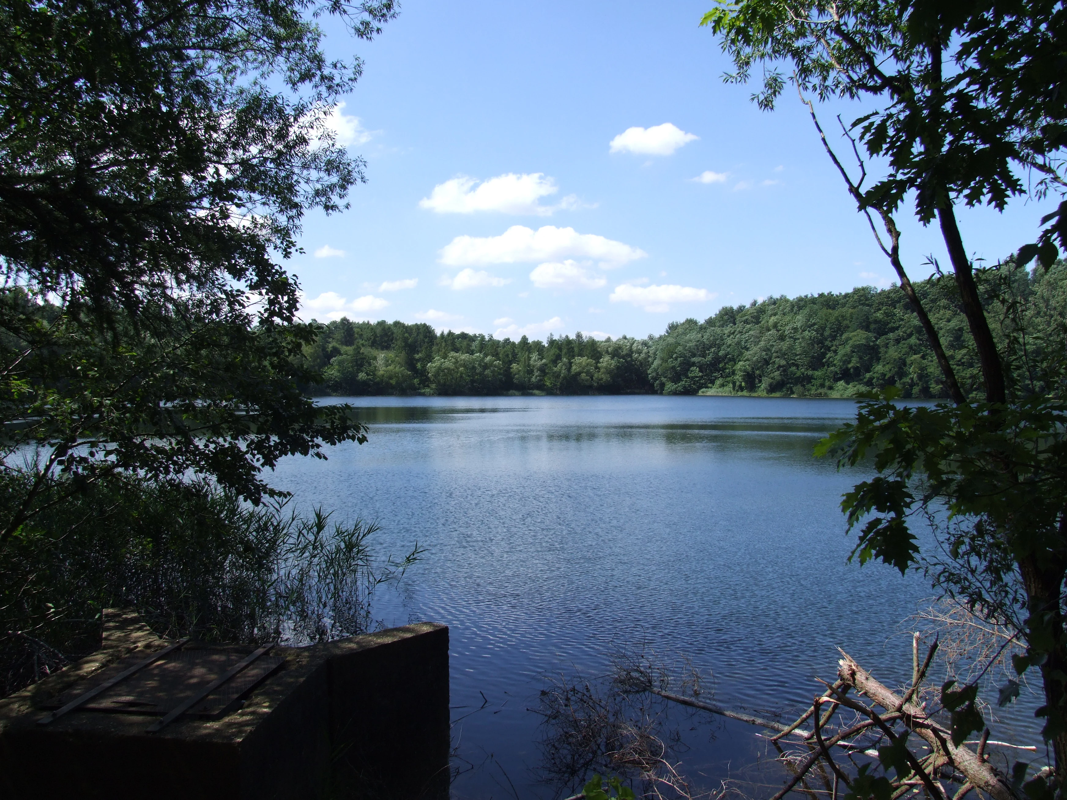
A calm lake surrounded by dense green forest under a blue sky with light clouds, viewed through foreground trees.
A view of Donatussee, a lake situated within the protected landscape of Naturpark Rheinland.

Naturpark Rheinland conservation status and protection priorities

Naturpark Rheinland is significant for conservation on several levels. It unites large tracts of forest, landscape protection areas, and smaller strict nature reserves into a single protective framework, with roughly nine percent of the park under formal nature reserve status and a much larger share managed for landscape conservation. These include the protected wet woodlands around Kerpen, designated under the Habitats Directive for their habitat value.

The park also functions as a major regional green infrastructure element, acting as the third green belt of the Cologne-Bonn urban region. Through coordinated green corridors, its forests and reclaimed landscapes are connected to the inner green belts of Cologne and to the agricultural landscape around Brühl, creating continuity between city and countryside. The Ville lake district is itself a product of long-term landscape engineering, the transformation of open-pit mining voids into recreational and ecologically maturing water landscapes initiated by pioneers such as Adolf Dasbach, whose 1920 afforestation near Hürth marks one of the earliest reclamation efforts in the region.

Naturpark Rheinland cultural meaning and human context

Naturpark Rheinland is steeped in a layered cultural and historical landscape. The Kottenforst preserves the geometric legacy of Baroque courtly hunting culture, with straight rides radiating from the vanished Schloss Herzogsfreude and the surviving Jägerhäuschen as a hunting memorial. In its northern sections, the park embodies one of the most significant post-industrial transformations of the Rhineland, where former agricultural and forested land was reshaped by large-scale lignite mining.

The reclamation projects of the twentieth century, especially Adolf Dasbach's pioneering 1920 afforestation near Hürth, are foundational to the park's modern identity. Cultural landmarks such as the medieval village of Alt-Kaster, the Schloss Augustusburg and Falkenlust palace ensemble near Brühl, the Eiserner Mann iron post of legend in the Kottenforst, and the Kaisereiche planted by the young Wilhelm II give the park a rich tapestry of architecture, legends, and political memory that frames the natural landscape.
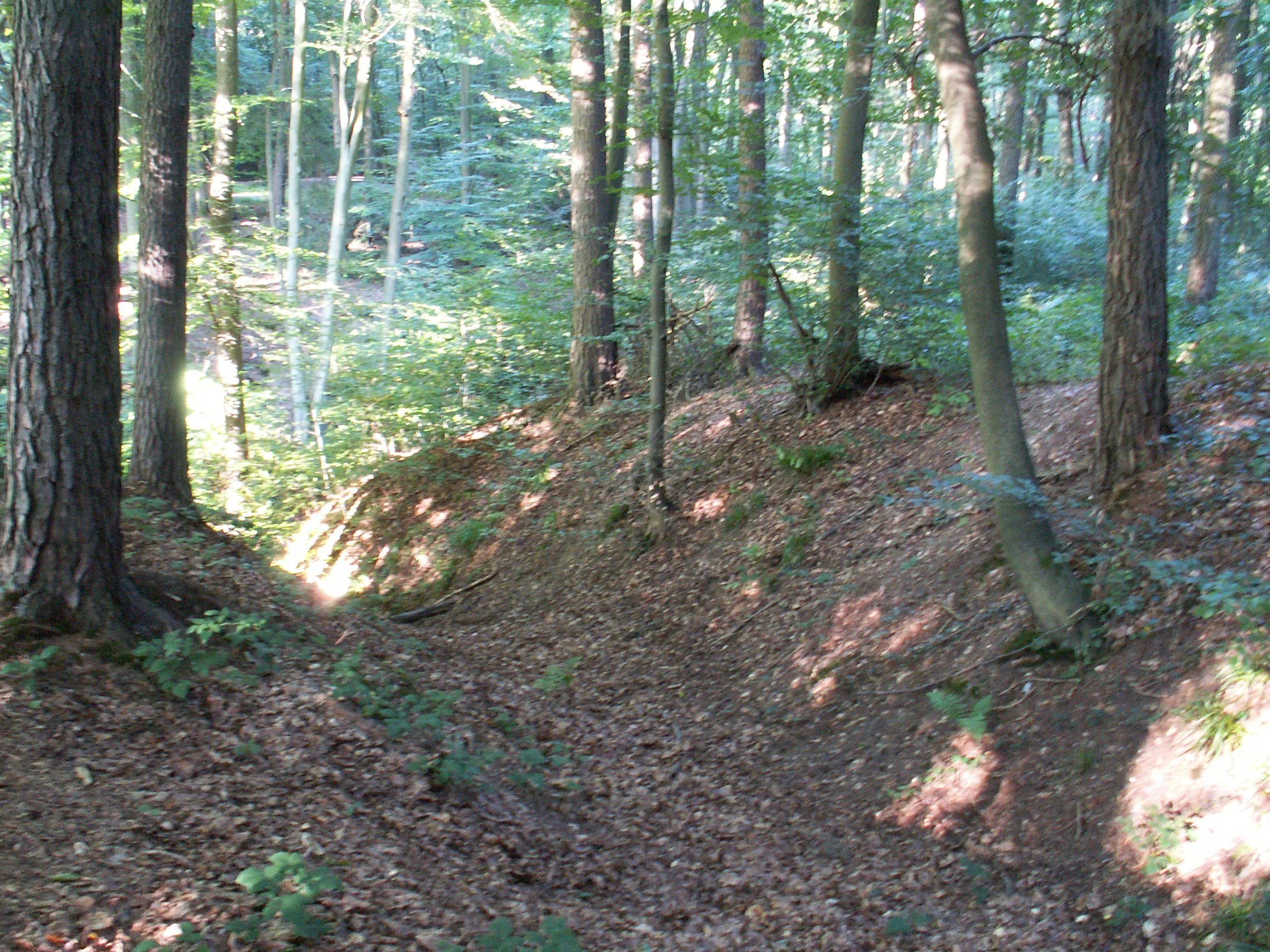
A sloped, earthen ditch or rampart section covered in fallen leaves inside a deciduous forest, with mature tree trunks rising on either side.
A view of the Ringwall Venne archaeological site within Naturpark Rheinland, showing the earthen ramparts covered in forest floor.

Top sights and standout views in Naturpark Rheinland

Naturpark Rheinland's strongest points of distinction include the star-shaped hunting rides of the Kottenforst, the dense lake cluster of the Ville-Seenplatte created by reclaimed opencast mining, and the finger-shaped wet woodland extensions along the Erft floodplain. Among its most unusual features are the bizarre residual "Kopfbuchen," strict nature reserves for the agile frog, and the integration of reclaimed industrial land into a continuous metropolitan green corridor.

Outside the natural landscapes, the park also features major cultural anchors including the Brühl palace ensemble, the imperial hunting and rail heritage around Bahnhof Kottenforst and Brühl-Kierberg, and several historic castles and manor houses such as Schloss Paffendorf, Schloss Türnich, and Schloss Gymnich, which together with the Erft valley water castles form the historic framework of the park.

Best time to visit Naturpark Rheinland

Naturpark Rheinland can be visited throughout the year, with each season offering a distinct atmospheric character. Spring brings extensive flowering of lily-of-the-valley and wood anemones in the damp hollows of the Kottenforst, while also offering mild conditions ideal for cycling and walking.

Summer is the most active season for the reclaimed lake areas of the Ville, where the artificial lakes support swimming, diving, and general recreation. Autumn highlights the mixed forest character of both the Kottenforst and the Ville, with broadleaf trees and larch emphasizing seasonal color. Winter, though quiet, opens up long-distance vistas across the deciduous sections of the park and is well suited to extended walks along the Roman Eifel Aqueduct trail or the historic hunting rides.

Monthly climate preview

Long-term temperature ranges and monthly precipitation averages for recorded coordinates

Naturpark Rheinland Climate Normals and Annual Weather Patterns

Naturpark Rheinland exhibits a documented annual temperature and precipitation rhythm spanning long-term averages from NASA observations. Detailed monthly comparisons provide complete climatological normals for this regional protected landscape.
Annual mean10 °C
1 °C19 °C
Jan
Feb
Mar
Apr
May13°
Jun17°
Jul19°
Aug19°
Sep15°
Oct10°
Nov
Dec
Warmest month
July

19.2 °C

Coolest month
January

1.3 °C

Wettest month
December

2.6 mm/day

Driest month
April

1.6 mm/day

Park location guide

Geography guide, regional context, and park location map for Naturpark Rheinland

Naturpark Rheinland park geography, regions, and map view in Germany

Understand where Naturpark Rheinland sits in Germany through a broader geographic reading of the surrounding landscape, nearby location context, and its mapped position within the national park landscape.

How Naturpark Rheinland fits into Germany

Germany is a federal republic in Western and Central Europe with a population of over 83 million across sixteen constituent states. It is Europe's largest economy by nominal GDP and a major global exporter and importer. The capital is Berlin, and the country borders Denmark, Poland, Czech Republic, Austria, Switzerland, France, Luxembourg, Belgium, and the Netherlands.

Wider geography shaping Naturpark Rheinland in Germany

Germany is located in Western and Central Europe, spanning 357,022 km². It borders Denmark to the north, Poland and the Czech Republic to the east, Austria and Switzerland to the south, and France, Luxembourg, Belgium, and the Netherlands to the west. The country has coastlines on the Baltic Sea and North Sea to the north, with the Alps located in the southern region.

Map view of Naturpark Rheinland

Use this park location map to pinpoint Naturpark Rheinland in Germany, understand its exact geographic position, and read its mapped placement within the surrounding landscape more clearly.

Pigeon | © OpenStreetMap contributors

Location context for Naturpark Rheinland

North Rhine-Westphalia
Natural feature types

Explore Named Natural Features Within the Naturpark Rheinland Geography

Discover the varied natural features associated with the Naturpark Rheinland landscape. This collection facilitates deeper engagement with the park geography, covering distinct zones from the Ville ridge to the riverine wetlands of the Erft. Use this resource to trace the physical composition of this protected region.
Recorded earthquake history

Review the Naturpark Rheinland Seismic History and Recorded Earthquakes

Explore the structured collection of past earthquake events associated with the geography of Naturpark Rheinland. This MoriAtlas resource provides historical seismic data for the region, offering insight into recorded ground movement patterns through clear, location-indexed event records.

Naturpark Rheinland Earthquake History

Catalogued events

107 events

Strongest magnitude

Magnitude 5.2

Most recent event

Apr 11, 2010

This history includes earthquakes recorded inside the park or within 50 km of its borders

Visualizing the forests, reclaimed mining lakes, and wetland habitats of western Germany

Naturpark Rheinland Landscape Photos and Protected Area Scenery

Visual documentation reveals the diverse terrain, from the wooded uplands of the Kottenforst to the reclaimed lake districts of the Ville ridge. Examining these protected area photos provides clearer insight into the complex ecology and metropolitan green corridors defining the region.

Aerial view of a white, multi-story Baroque-style manor house with a dark gabled roof, surrounded by a moat and dense autumn-colored trees.

A calm, narrow body of water surrounded by large, mature trees with golden-brown autumn leaves. Fallen leaves cover the grass on the riverbank, and the light is soft, suggesting a sunny day.

A multi-story brick castle with stone arched balconies overlooking a water-lily covered moat, surrounded by lush green parkland.

A brown red deer with large antlers grazing on a green grassy field.

A calm lake surrounded by dense green forest under a blue sky with light clouds, viewed through foreground trees.

A gravel trail leads through a deciduous forest with water visible through the trees on the right side.

A sloped, earthen ditch or rampart section covered in fallen leaves inside a deciduous forest, with mature tree trunks rising on either side.

Park atlas

Compare adjacent lowland forests and regional protected areas across western Germany

Explore Other Parks Near Naturpark Rheinland and Surrounding Protected Landscapes

Browsing other protected areas near Naturpark Rheinland reveals a diverse network of regional lowland forests, reclaimed lake districts, and river valleys. Comparing these neighboring natural zones provides deeper geographic context for the metropolitan green belt surrounding Cologne and Bonn.
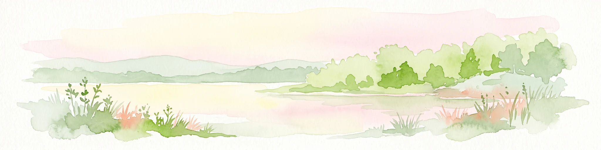
A horizontal watercolor painting depicting a calm lake surrounded by low, rolling hills and coniferous trees under a soft, pale sky.
Nature reserveNordrhein-Westfalen
Mapped location lies within the park boundary#1 closest

Northeast

Heider Bergsee Nature Reserve: Geographic Context and Protected Landscape Map

A recovered lake landscape in the North Rhine-Westphalia region of Germany

Discover the complex geography of Heider Bergsee, a prominent nature reserve and post-mining lake in the Ville region. This area showcases how nutrient-poor water and managed forest edges create a vital ecosystem within North Rhine-Westphalia, providing a distinct study in landscape restoration and protected-area mapping.

Area
0.354 km²
Established
1965
Relief
Lowland
Climate
Temperate
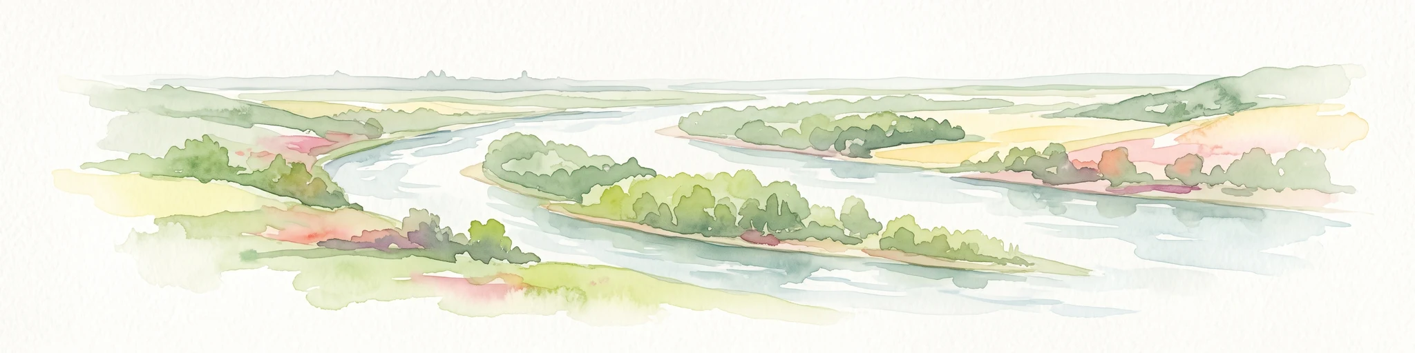
A soft watercolor painting showing a winding river with a lush green island in the middle, surrounded by soft-toned riverbanks and trees.
Nature reserveNorth Rhine-Westphalia
Mapped location lies within the park boundary#2 closest

East

Herseler Werth Nature Reserve: Geographic Overview of the Rhine River Island Landscape

A strictly protected riverine refuge in North Rhine-Westphalia

Herseler Werth represents a unique study in protected geography as the only non-publicly accessible Rhine island within North Rhine-Westphalia. Spanning 14.8 hectares, this long, narrow river island serves as a critical, human-excluded sanctuary that protects endangered species from industrial and urban disturbance. Its mapped boundaries and poplar-covered terrain illustrate the complex interaction between historical river hydrology and modern conservation efforts along the busy Bonn-Cologne corridor.

Area
0.148 km²
Established
1993
Relief
Lowland
Climate
Temperate
A watercolor illustration showing a landscape with a calm lake surrounded by greenery, small trees, and gently rolling hills in the background.
Nature reserveNordrhein-Westfalen
Mapped location lies within the park boundary#3 closest

North

Hürther Waldsee Nature Reserve: Mapped Protected Geography and Reclaimed Mining Landscape

Ecological refuge on the Ville lake plateau of Germany

Examine the boundaries and natural features of Hürther Waldsee, a significant nature reserve in the Nordrhein-Westfalen region. This ten-hectare reclaimed mining lake offers a detailed map of post-industrial ecological recovery, featuring engineered islands, reed beds, and young beech and alder woodlands that define its protected status.

Area
0.106 km²
Established
1988
Relief
Lowland
Access
Moderate access
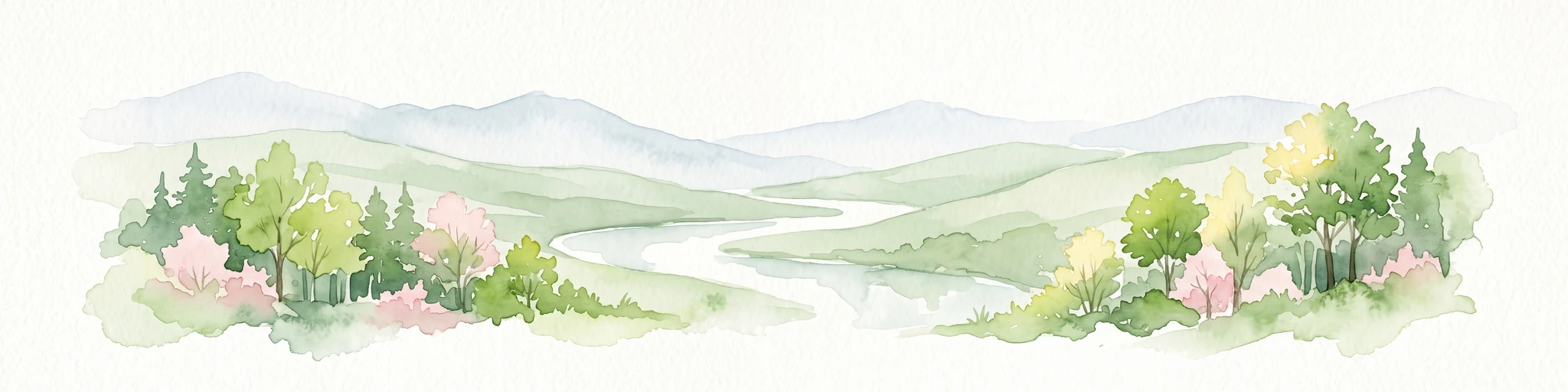
A watercolor illustration of a gentle, winding stream through a green, hilly valley with deciduous and coniferous trees, against a background of soft, blue-toned mountains.
Nature reserveNordrhein-Westfalen
Mapped location lies within the park boundary#4 closest

North

Kernzone Ommelstal: Geographic Overview of the Protected Nature Reserve in Germany

A stream-valley mosaic within the Nordrhein-Westfalen loess plains.

Kernzone Ommelstal acts as a localized sanctuary of wet woodlands, ponds, and marshy ground situated in the fertile farming landscapes of Nordrhein-Westfalen. This 14-hectare reserve serves as a critical study of how small-scale landscape incisions, shaped by the Fliestedener Bach, create essential niches for habitat protection in intensively cultivated regions.

Area
0.143 km²
Established
2017
IUCN
IV
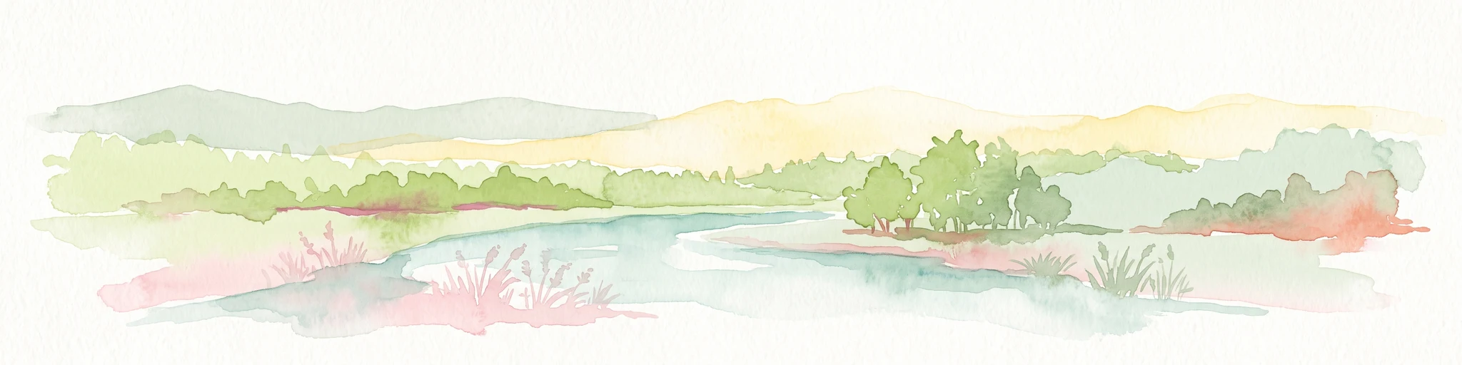
A soft watercolor illustration of a serene pond surrounded by gentle green hills and lush shoreline vegetation in a light, pastel color palette.
Nature reserveCologne
Mapped location lies within the park boundary#5 closest

Northeast

Kiesgruben Meschenich: Geographic Analysis of a Cologne Nature Reserve Landscape

Examining the ecological terrain and mapped gravel-pit habitat network.

Kiesgruben Meschenich offers a distinct study in regional conservation, presenting a complex of excavation lakes, raw gravel substrates, and wetland fringes. This protected area stands as a primary example of how industrial remnants transform into valued ecological hubs, serving as a critical refuge for biodiversity in the densely populated Rhine landscape of North Rhine-Westphalia.

Area
0.265 km²
Established
1991
Relief
Lowland
Scope
Terrestrial
A soft watercolor painting depicting a panoramic landscape with rolling green hills, patches of forest, and gentle terrain.
Nature reserveNordrhein-Westfalen
Mapped location lies within the park boundary#6 closest

Southeast

Kottenforst-Waldville Nature Reserve: Protected Landscape Geography and Forest Mapping

A significant oak-hornbeam woodland complex within Nordrhein-Westfalen.

Kottenforst-Waldville comprises extensive, interconnected forest blocks defined by their high-value oak-hornbeam stands and rare woodland pools known as Maare. This protected area supports a dense regional network of spring brooks and floodplain woodlands, serving as a critical refuge for woodpecker populations and raptors within the anthropogenically shaped landscape of the Rhine valley.

Area
35.853 km²
Established
2004
Nature reserveNorth Rhine-Westphalia
Mapped location lies within the park boundary#7 closest

Southeast

Melbtal Nature Reserve in North Rhine-Westphalia: Map, Terrain, and Geographic Context

Deep-cut forested valley with unique geological instability

Melbtal stands as a protected nature reserve in Bonn, Germany, defined by its steep wooded slopes and the meandering Melbbach. This geographic entity offers a study in earth-science dynamics, featuring active landslides and a distinct cold-air flow that persists within a dense urban setting. Use this atlas perspective to understand the boundaries, terrain, and layered cultural history of one of the region's most prominent green corridors.

Area
0.2 km²
Established
2013
IUCN
IV
Relief
Upland
A soft watercolor illustration showing a peaceful landscape with gentle hills, trees, and small ponds reflecting light.
Nature reserveNordrhein-Westfalen
Mapped location lies within the park boundary#8 closest

Southeast

Quarzsandgrube Nature Reserve: Geographic Profile and Protected Landscape Context

Protected mosaic of pioneer habitats in the Rhein-Sieg-Kreis

Located on the terrace slopes of the Rhein-Sieg-Kreis, Quarzsandgrube represents a significant refuge for early successional flora and fauna. The site features an uneven terrain of exposed sandy soils and water-filled hollows, providing a vital habitat corridor alongside adjacent protected areas. This detailed geographic profile maps the environmental conditions that define its current status as a protected nature reserve.

Area
0.29 km²
Established
1994
IUCN
IV

Common questions about visiting, size, designation, and location context for Naturpark Rheinland

Naturpark Rheinland FAQs for park facts, access, geography, and protected area context

Find quick answers about Naturpark Rheinland, including protected-area facts, park geography, trail and visitor context, and how the park fits into its surrounding country and regional landscape.
MoriAtlas Explorer

Continue Your Protected Areas Search Across the Global Atlas

Deepen your exploration by continuing the structured search for national parks and protected areas worldwide. Utilize the comprehensive filtering capabilities to compare different conservation landscapes and refine your understanding of global park geography. Discover more about the distribution and characteristics of protected natural areas.

Global natural geography