
Mori Atlas logo
Park earthquake history

A comprehensive catalogue of geological seismic events mapped by distance from the reserve boundary

Recorded Earthquake History and Seismic Activity Near Nocoleche Nature Reserve

Review a structured compilation of historical earthquake events associated with the geographic coordinates of Nocoleche Nature Reserve in New South Wales. This catalogue details individual seismic occurrences by recording epicentre locations, recorded magnitudes, and depth data for each event. The information provides a transparent view of recorded activity patterns within the regional landscape of the Paroo River catchment.

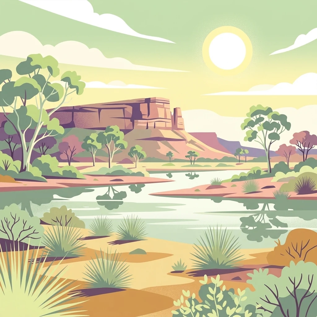
Stylized digital illustration of a desert wetland landscape featuring a calm river in the foreground, sparse vegetation including shrubs and gum trees, and a flat-topped mesa under a bright sun.

The largest wetland reserve in New South Wales, protecting a free-flowing stretch of the Paroo River.

Nocoleche Nature Reserve

Nocoleche Nature Reserve is a large conservation area in far northwestern New South Wales, Australia, situated along the Paroo River about 20 kilometres south of the remote outback town of Wanaaring. Established in 1979 and managed by the NSW National Parks and Wildlife Service, the reserve covers a vast area of semi-arid floodplain,channel country and woodland, making it the largest wetland of its kind in the state by area. The reserve's defining landscape feature is its network of creeks, floodplains and swamps associated with the Paroo River, which still flows freely without regulation, unlike most other rivers in the Murray-Darling Basin. Vegetation ranges from mulga and white wood shrublands to black box and poplar box woodlands, with extensive stands of the rare yapunyah eucalyptus along the river corridors. Nocoleche is regionally important as a refuge for native wildlife in heavily grazed pastoral country. It supports several species of kangaroo and wallaroo, a range of native fish in the Paroo, and significant numbers of migratory waterbirds that rely on the floodplain wetlands as stop-over habitat. Its remote location and ecological value combine to give it a strong conservation identity within arid-zone New South Wales.

Location
Australia
Park type
Nature reserve
Established
1979
Area
711.1 km²
Explore Nocoleche Nature Reserve Protected Landscapes

Search Nocoleche Nature Reserve records by distance

Review historical earthquakes near Nocoleche Nature Reserve

Review historical earthquakes geographically near Nocoleche Nature Reserve, a 711.08 km² terrestrial lowland reserve in Australia; the search keeps the event's measured magnitude, depth, date, locality, citation, and calculated separation visible. It treats the reserve as a spatial reference point only, without moving epicentres inside its limits, diagnosing effects, or expressing present-day hazard.

Sort by
Magnitude
Location

This page describes catalogued earthquakes associated with the park by epicentre location and distance. It does not establish causation, assess current danger, or predict future earthquakes.

No earthquake records match the current filters

Park atlas

Explore beyond Nocoleche Nature Reserve earthquake data

Continue to more protected places from Nocoleche Nature Reserve

Nocoleche Nature Reserve covers 711.08 km² of Australian lowland wetland, rivers, and partial forest with major water presence. The connected park pages extend the seismic catalogue geographically, but they do not claim that other sites share Nocoleche’s environmental setting, earthquake exposure, consequences, present conditions, or future outlook.
National parkAustralia
75 km away#1 closest

South

Paroo-Darling National Park: Mapped Boundaries and Protected Landscape Geography

Explore the geographic context of this Australian national park.

Paroo-Darling National Park is a protected national park offering insights into Australia's natural geography. This section provides details on its mapped protected area, highlighting the landscape and regional context. Understand the park's geographic footprint and its importance as a conservation landscape within the Australian continent.

Area
1,780.53 km²
Established
2000
IUCN
II
Relief
Upland
State or regional parkNew South Wales
80 km away#2 closest

East

Toorale State Conservation Area: A Landmark Protected Landscape in the Western New South Wales Outback

Floodplain ecosystems and joint-managed riverine wilderness.

Toorale State Conservation Area stands as a major protected region in New South Wales, anchoring critical habitat along the Darling-Baaka River system. This vast, former pastoral landscape features extensive floodplains, arid outback terrain, and elevated lookouts that reveal the scale of the Murray-Darling Basin. As a cooperative conservation area, the land reflects both deep indigenous heritage and focused ecological restoration in a sparsely settled, semi-arid environment.

Area
543.85 km²
Established
2010
Relief
Lowland
Climate
Arid
National parkNew South Wales
97 km away#3 closest

East

Toorale National Park: Inland Floodplain and Wetland Protected Area in New South Wales

Discover its unique geography at the Darling and Warrego River confluence.

Toorale National Park is a critical protected area in the arid interior of New South Wales, Australia, recognized for its expansive inland floodplain and a significant wetland system formed by historic water management. Situated at the convergence of the Darling and Warrego Rivers, the park's terrain is predominantly flat, characterized by riparian floodplains and occasional low ridges. This landscape supports diverse vegetation communities, including river red gum forests and extensive chenopod shrublands, offering a unique insight into inland Australian geography and conservation values. Explore the mapped boundaries and natural context of this important national park.

Area
308.66 km²
Established
2010
IUCN
II
Relief
Lowland
National parkNew South Wales
124 km away#4 closest

Northwest

Narriearra Caryapundy Swamp National Park: National Park Protected Landscape and Geographic Atlas

Explore mapped boundaries and regional context within New South Wales.

Narriearra Caryapundy Swamp National Park is a designated national park focused on preserving its unique protected landscape. This entry provides essential geographic context, detailing the park's mapped boundaries and its role within the regional atlas of New South Wales. Understand the protected natural area's identity and its place within the broader geographic framework for atlas exploration.

Area
1,534 km²
Established
2020
Relief
Lowland
Climate
Arid
National parkNew South Wales
128 km away#5 closest

Southeast

Gundabooka National Park: Australian Protected Landscape Geography

Mapped boundaries and regional context within New South Wales.

Gundabooka National Park serves as a vital national park entity within the Australian protected areas system. This entry focuses on its specific geographic footprint and landscape character, offering a foundation for understanding its role and distribution within New South Wales. Explore the mapped context and regional geography that define Gundabooka National Park as a protected natural landscape.

Area
639.02 km²
Established
1996
IUCN
II
Relief
Mountain
National parkQueensland
About 132 km away#6 closest

North

Currawinya National Park: Queensland's Ramsar Wetland and Mulga Lands National Park

Discover its arid landscape and protected area identity.

Currawinya National Park is a major protected area in Queensland, Australia, recognized for its significant Ramsar-listed wetland system, including Lakes Numalla and Wyara. These ephemeral lakes are vital drought refuges for waterbirds across inland Australia and represent a unique ecological feature within the park's expansive mulga lands landscape. The park also champions conservation initiatives, notably a large predator-exclusion enclosure for the greater bilby, showcasing its commitment to arid-zone biodiversity and landscape preservation.

Area
1,513 km²
Established
1991
IUCN
II
Relief
Lowland
National parkNew South Wales
159 km away#7 closest

West

Sturt National Park National Park: Discover Protected Landscape and Regional Geography in New South Wales

Explore the mapped boundaries and natural terrain of this Australian protected area.

Sturt National Park in New South Wales stands as a key national park within Australia's network of protected landscapes. This page offers detailed geographic context, focusing on the park's mapped boundaries and its role as a distinct natural area. Users can explore how Sturt National Park fits into the broader regional geography of New South Wales, providing an atlas-level view of conservation within the state and continent.

Area
3,253.29 km²
Established
1972
IUCN
II
Relief
Mixed relief
National parkNew South Wales
175 km away#8 closest

Southwest

Mutawintji National Park: New South Wales Protected Area for Atlas Exploration

Mapping rugged outback terrain, gorges, and ancient rock art.

Mutawintji National Park in New South Wales offers a profound exploration of Australia's outback geography, significant Indigenous heritage, and protected landscapes. Discover the park's unique terrain, defined by the Byngnano Range, vibrant gorges, and river red gum-lined creeks, all rich with ancient Aboriginal rock art. This national park is a prime example of mapped protected area discovery, highlighting both natural beauty and critical conservation achievements.

Area
689.12 km²
Established
1998
IUCN
II
Relief
Mountain
MoriAtlas Explorer

Continue Exploring the Protected Geography of Nocoleche Nature Reserve

Trace the river channels and floodplain boundaries that define the ecological character of Nocoleche Nature Reserve. Through the MoriAtlas data platform, examine how this significant New South Wales nature reserve anchors the arid-zone wetlands of the Paroo River system within the broader Australian landscape.