Mori Atlas logo
National parkNorthern Podillia National Nature Park

Mapping the natural and cultural heritage of a key protected area in Lviv Oblast.

Northern Podillia National Nature Park: Protected Landscape and Geographic Atlas Entry

Northern Podillia National Nature Park represents a vital protected landscape within northwestern Ukraine, established to safeguard the distinct geography of the Podolian Upland's northern slopes. Situated within Lviv Oblast, this national park preserves a rich tapestry of habitats, from ancient hornbeam-beech forests to unique karst features like the Blue Windows and their characteristic blue-colored limestone lakes. Its territory, spanning approximately 15,588 hectares, offers a structured entry point for understanding the regional geography and the mapped distribution of protected lands in Eastern Europe.

National parkForest protected areaKarst landscapeWetland ecosystemsHistoric castlesBirdwatching
Illustration of a landscape with mountains, waterfall, forest, and wildflowers under a partly cloudy sky

Northern Podillia National Nature Park

National park

Park overview

Structured park overview, official facts, and landscape profile for Northern Podillia National Nature Park

Northern Podillia National Nature Park park facts, protected area profile, and essential visitor context
Review the core facts for Northern Podillia National Nature Park, including designation, size, terrain, visitor scale, habitats, and operating context in one park-focused overview.

About Northern Podillia National Nature Park

Northern Podillia National Nature Park represents one of Ukraine's most significant protected areas, combining ecological importance with substantial historical and cultural heritage. The park is situated in the northwestern part of the Podolian Upland, a region characterized by low mountain ranges that rise steeply from the plains of Small Polissia. The territory spans 35 kilometers from north to south and 63 kilometers from west to east, encompassing the Holohory and Voronyaky physical-geographic districts. These low mountain ranges feature valley-gully terrain forms, with the highest peaks including Mount Vapniarka at 460.8 meters and Mount Vysokyi Kamin at 440.4 meters. The park's landscape is notable for its diversity, encompassing forested mountain slopes, steppe remnants, wetland floodplains, and karst terrain. The region's geological structure is complex and varied, reflecting the long and multifaceted formation history of northwestern Podillia.

Quick facts and research context for Northern Podillia National Nature Park

The park covers roughly 15,588 hectares across 18 separate protected sites in the Holohory and Voronyaky mountain ranges. Elevation ranges from plains in the north to approximately 471 meters at the highest points. The park lies within the Central European mixed forests ecoregion and experiences a humid continental climate with warm summers. The Western Bug River originates within the park's boundaries, carrying waters to the Baltic Sea. The area supports over 1600 plant species representing nearly one-third of Ukraine's flora, with beech forests reaching their northeastern range limit here.

Park context

Deeper park guide and search-rich context for Northern Podillia National Nature Park

Northern Podillia National Nature Park history, landscape, wildlife, and travel context
Explore Northern Podillia National Nature Park through its history, landscape character, ecosystems, wildlife, conservation priorities, cultural context, and seasonal travel timing in a structured park guide built for atlas discovery and search intent.

Why Northern Podillia National Nature Park stands out

Northern Podillia is best known for its exceptional combination of natural and cultural heritage. The park protects some of Ukraine's finest beech forests growing at their northeastern ecological limit, rare karst lakes known as the Blue Windows, and significant geological features including sandstone outcrops and reef formations from the Sarmatian sea. The area encompasses historical sites of the so-called Golden Ring of Castles of Lviv Oblast, along with monuments from both World Wars. The park preserves the Pienyatskaya nature monument, Europe's first legally protected reserve established by Count Volodymyr Dyuschitsky in 1886 for the protection of white-tailed eagle nesting habitat.

Northern Podolia National Nature Park.jpg
Northern Podolia National Nature Park

Northern Podillia National Nature Park history and protected-area timeline

The conservation history of Northern Podillia stretches back to the late 19th century, making it one of Ukraine's oldest protected areas. In 1886, Count Volodymyr Dyuschitsky, an amateur ornithologist, established the Pienyatskaya nature monument on his lands, creating Europe's first legally protected reserve with the explicit purpose of preserving unique, indigenous, and rare plant and animal communities for all time. This pioneering act specifically aimed to protect nesting habitat for the white-tailed eagle. In 1904, systematic scientific natural research began to identify objects worthy of protection. The steppe reserve Makrita was created in 1931 near the village of Sukhovolia. During the same period, naturalist Petro Kontnyi established one of Poland's first school nature reserves on Zhulytska Mountain, named after Lviv Archbishop Yozef Bilchevsky. By the end of 1998, 18 protected area objects had been created, forming the scientific basis for establishing the national park. The park was officially created on February 10, 2010, by decree of President Viktor Yushchenko.

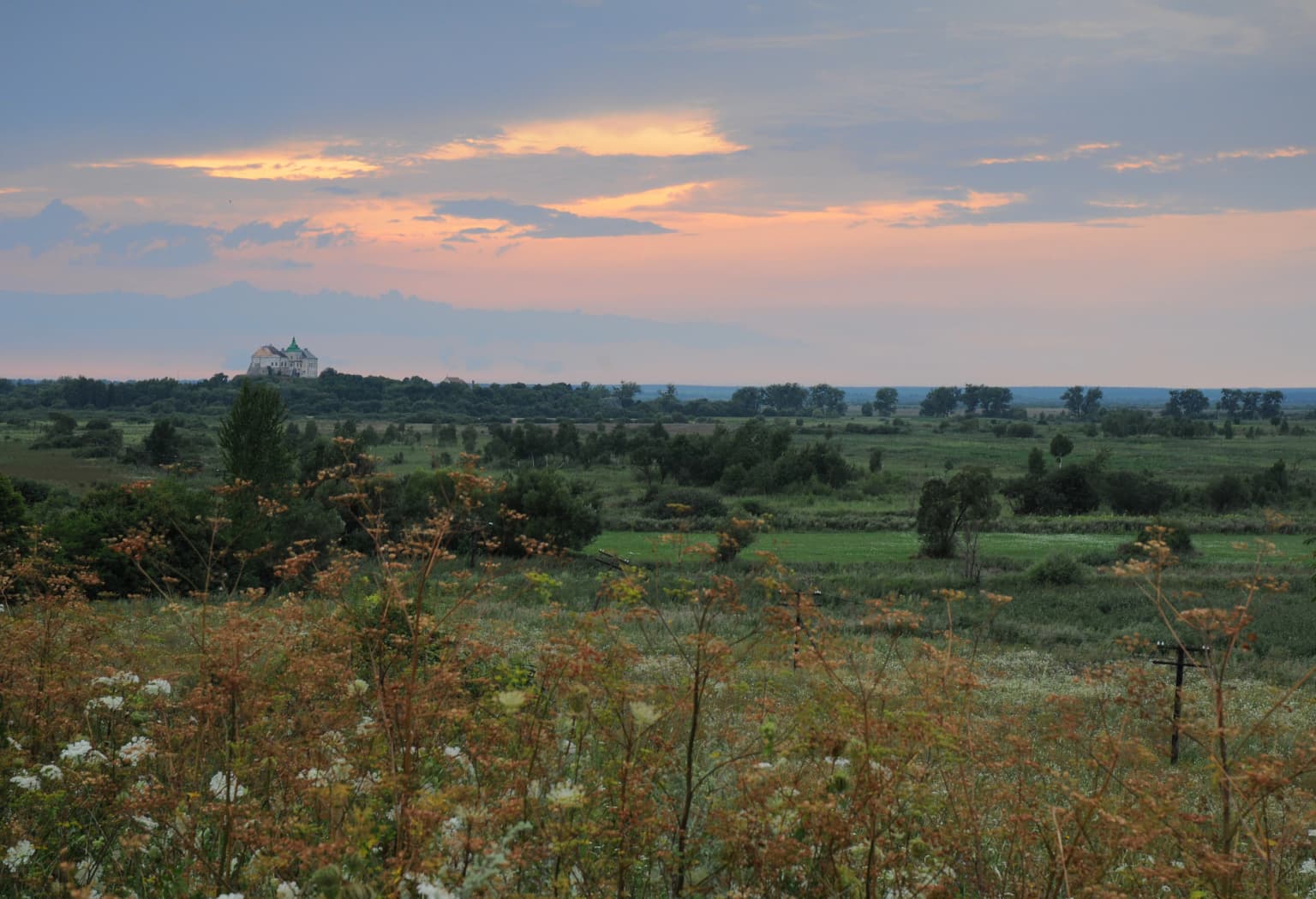
Northern Podillia National Nature Park landscape and geographic character

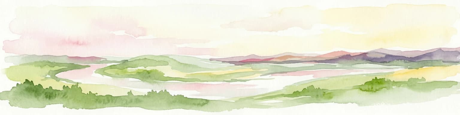
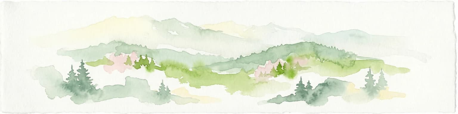
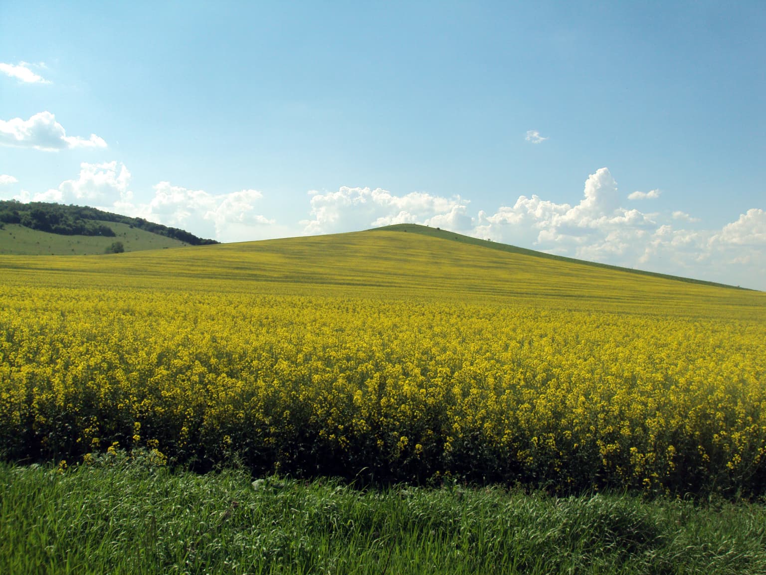
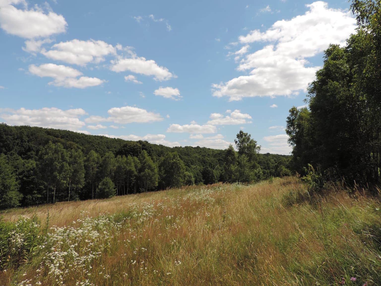
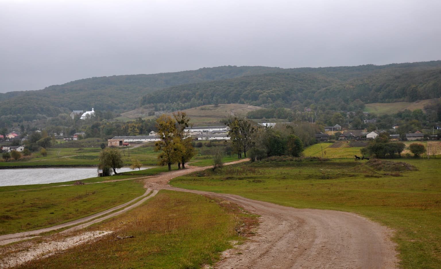
The landscape of Northern Podillia is characterized by its distinctive hilly terrain formed by the Holohory and Voronyaky mountain ranges, which represent the most forested and hilly portion of the northwestern Podolian Upland. These low mountains, reaching elevations between 250 and 460 meters above sea level, feature valley and gully terrain created by ancient geological processes. The terrain encompasses limestone and carbonate sandstone outcrops, with geologically significant karst features including sinkholes, caves, and the characteristic Blue Windows, a series of small karst lakes with distinctive blue coloring formed in sunken limestone formations. The park also preserves erosive remains of sea reefs from the Sarmatian period, known as the Tovtry or Medobory, near the Pidkameni settlement. The Western Bug River valley, with its unique glacial origin rocks including the Great Stone, adds to the landscape diversity.

Wide landscape view showing snow-capped mountain peaks, forested hills, and rocky terrain under a partly cloudy sky
Snow-capped mountain peaks visible in the distance with forested hills and rocky outcrops under a partly cloudy sky

Northern Podillia National Nature Park ecosystems, habitats, and plant life

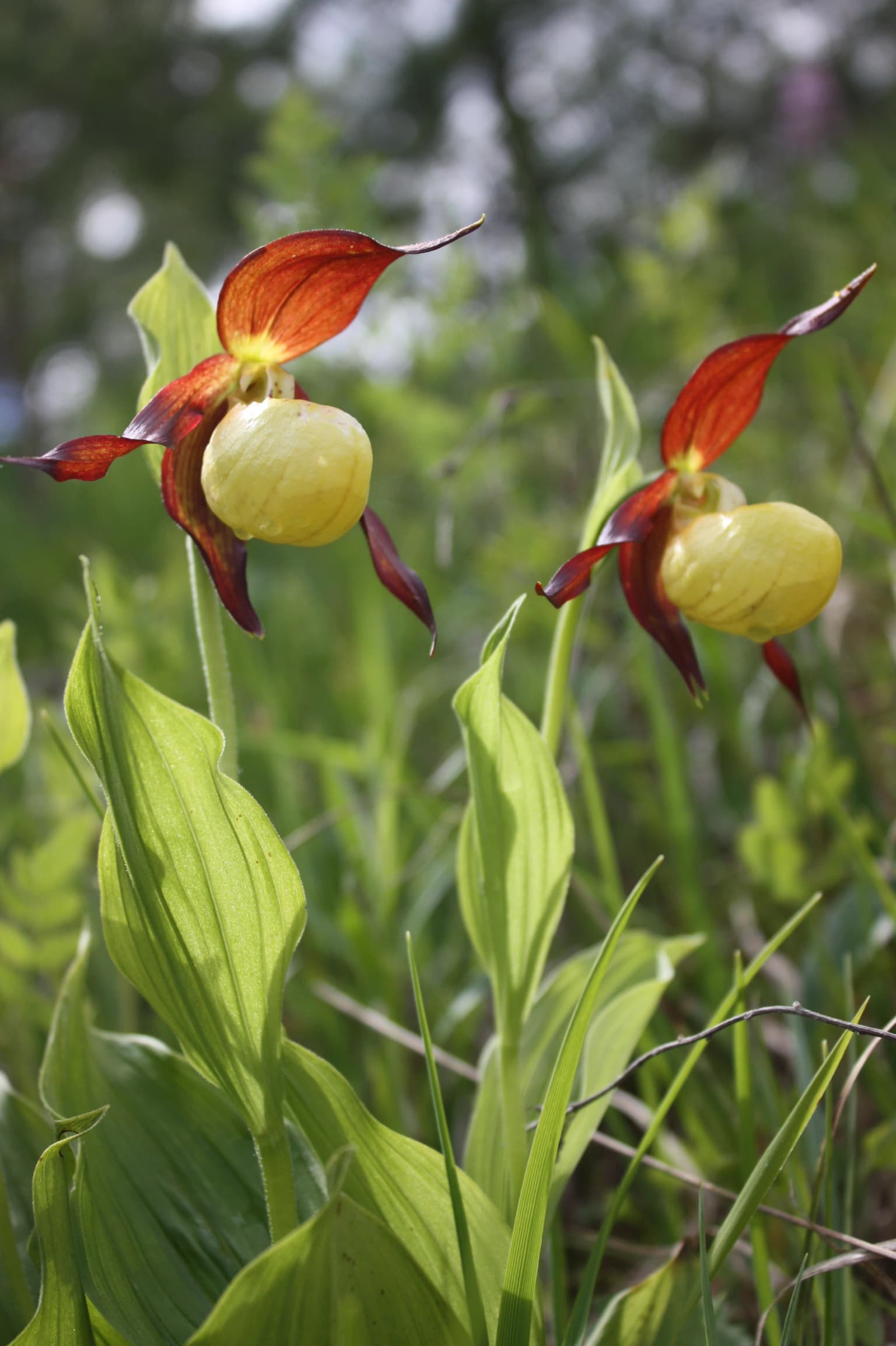
The ecological significance of Northern Podillia is exceptional, with the park lying within the Central European mixed forests ecoregion that covers much of northeastern Europe. The flora includes over 1600 plant species, representing nearly one-third of all plant species found in Ukraine, including 39 moss species, 53 algae species, and 237 species of lower plants and fungi. The park contains over 200 plant species requiring governmental, intergovernmental, or local protection. Particularly significant are the beech forests growing at their northeastern range limit, representing exceptional value in European terms. The territory serves as a boundary zone for important forest habitat-forming species and numerous boreal and nemoral floral elements. The region also contains the headwaters of the Western Bug River, which has international significance as it flows to the Baltic Sea. The park's fauna includes 1411 documented species, with 320 vertebrate species including 239 bird species and 57 mammals.

Close-up of two yellow lady's slipper orchids with red petals and yellow pouches among green leaves
Greater Yellow Lady's Slipper orchids in Northern Podillia National Nature Park

Northern Podillia National Nature Park wildlife and species highlights

The wildlife of Northern Podillia is remarkably diverse, with 1411 animal species documented including 1091 invertebrates and 320 vertebrates. Among invertebrates, insects dominate with 652 species and arachnids with 293 species. The vertebrate fauna includes 239 bird species, 57 mammals, 11 amphibians, 7 fish species, and 6 reptiles. The park holds exceptional conservation importance with 338 rare species documented, including 30 species listed in the IUCN Red List, 36 in European Red Lists, 96 in the Red Book of Ukraine, and 297 species protected under the Bern Convention. Twenty-four bird species found in the park are listed in the Red Book of Ukraine, representing 27.5% of all birds in that publication, a significant proportion given the region's heavy anthropogenic pressure on habitats.

Birch trees in a forest with fallen leaves on the ground, clear sky visible through the canopy
Birch forest landscape in Northern Podillia National Nature Park

Northern Podillia National Nature Park conservation status and protection priorities

Northern Podillia National Nature Park plays a crucial role in Ukraine's conservation system, protecting unique ecosystems at their ecological limits and significant biodiversity. The beech forests at their northeastern range limit represent exceptional European-level value, while the karst ecosystems and wetland systems support specialized species. The park protects rare plant communities and serves as habitat for numerous protected species across multiple taxonomic groups. With 338 rare species including significant populations of Red Book species, the park contributes substantially to conservation of Ukraine's natural heritage. The park's management includes monitoring of biodiversity through 11 permanent research plots and scientific studies focused on ecological forecasting and conservation of valuable natural resources.

Northern Podillia National Nature Park cultural meaning and human context

The Northern Podillia region holds significant historical and cultural heritage that the park protects alongside its natural values. The area is part of the so-called Golden Ring of Castles of Lviv Oblast, containing three castles that reflect the region's complex history. Numerous churches and other cultural monuments are found throughout the park territory. The region is associated with events from the First and Second World Wars, including memorial sites dedicated to those killed during World War II. The park also preserves the 600-year-old Linden tree known as Lipa Bohdana Khmelnytskoho, considered the oldest linden tree in Ukraine, and the 348-year-old Oak Witness tree standing 25 meters tall in Brody. The park includes the Pidhirtsky Park, a monumental garden of ornamental art associated with the Lviv National Art Gallery.

Wide landscape view at sunset showing meadow with wildflowers in foreground, grassy fields extending to trees and distant castle structure under partly cloudy sky
Sunset view across Northern Podillia National Nature Park showing Olesko Castle in the distance

Top sights and standout views in Northern Podillia National Nature Park

Northern Podillia stands out for its unique combination of biodiversity, geological features, and cultural heritage. The park protects Ukraine's most significant beech forests at their northeastern range limit, the rare Blue Windows karst lakes, and geological features from the ancient Sarmatian sea. The Pienyatskaya reserve represents Europe's first legally protected area. Six ecological education trails allow visitors to explore the park's diverse landscapes, including the Sviatohirsky, Trynih, Markiianivski, and historical routes connecting ancient settlement sites.

Grassy field with a dirt road curving through it, a body of water on the left, scattered trees, and distant hills under an overcast sky
Dirt road winding through grassy fields with a body of water and distant hills in Northern Podillia National Nature Park

Best time to visit Northern Podillia National Nature Park

The park can be visited throughout the warmer months, with the warmest period being July when average temperatures reach around 18 degrees Celsius. Summer brings warm but not hot conditions with frequent rainfall, particularly in the second half of the season. Autumn is quite moist with frequent fogs, while spring weather is variable and often prolonged. The wettest months are June, July, and September, with 700-800 millimeters of precipitation annually. Winter sees the least precipitation. The moderate continental climate provides suitable conditions for exploration from late spring through early autumn.

Park location guide

Geography guide, regional context, and park location map for Northern Podillia National Nature Park

Northern Podillia National Nature Park park geography, regions, and map view in Ukraine
Understand where Northern Podillia National Nature Park sits in Ukraine through a broader geographic reading of the surrounding landscape, nearby location context, and its mapped position within the national park landscape.

How Northern Podillia National Nature Park fits into Ukraine

Ukraine is a sovereign nation in Eastern Europe, bordered by Russia, Belarus, Poland, Slovakia, Hungary, Romania, Moldova, and the Black Sea. It is the second-largest country in Europe by area. Kyiv is the capital and largest city, followed by Kharkiv, Odesa, and Dnipro. The official language is Ukrainian. Ukraine has a population of approximately 32.9 million and operates as a unitary semi-presidential republic.

Wider geography shaping Northern Podillia National Nature Park in Ukraine

Ukraine occupies 603,628 km² in Eastern Europe, making it the second-largest country in Europe. It shares borders with Russia, Belarus, Poland, Slovakia, Hungary, Romania, and Moldova. The country has a southern coastline along the Black Sea and Sea of Azov. The terrain includes plains, steppes, and the Carpathian Mountains in the west.

Map view of Northern Podillia National Nature Park

Use this park location map to pinpoint Northern Podillia National Nature Park in Ukraine, understand its exact geographic position, and read its mapped placement within the surrounding landscape more clearly.

Pigeon | © OpenStreetMap contributors

Location context for Northern Podillia National Nature Park

Lviv OblastZolochiv Raion

Discover the distinctive hilly terrain, ancient forests, and rare karst lakes that define the park's protected environment.

Northern Podillia National Nature Park: Photos, Landscape Views, and Protected Area Scenery
Explore the visual identity of Northern Podillia National Nature Park, including its unique hilly terrain, ancient hornbeam-beech forests, and distinctive Blue Windows karst lakes. These images provide a clear understanding of the park's protected landscapes, diverse habitats, and the characteristic scenery of Ukraine's Podolian Upland region.

Northern Podolia National Nature Park.jpg

Vast field of yellow flowering plants with grassy foreground and a low hill in the distance under a bright blue sky with scattered clouds

Wide landscape view showing snow-capped mountain peaks, forested hills, and rocky terrain under a partly cloudy sky

Close-up of two yellow lady's slipper orchids with red petals and yellow pouches among green leaves

Birch trees in a forest with fallen leaves on the ground, clear sky visible through the canopy

Grassy field with wildflowers, scattered trees, and forested hills under a blue sky with scattered clouds

Wide landscape view at sunset showing meadow with wildflowers in foreground, grassy fields extending to trees and distant castle structure under partly cloudy sky

Grassy field with a dirt road curving through it, a body of water on the left, scattered trees, and distant hills under an overcast sky

Park atlas

Trace the regional geography of Ukraine's protected areas, comparing similar forested uplands and karst landscapes surrounding Northern Podillia.

Other National Parks and Protected Areas Near Northern Podillia National Nature Park
After exploring Northern Podillia National Nature Park, browse other national parks and protected areas within Ukraine, examining their unique ecological features and geographical spread across the Podolian Upland. This regional park atlas helps compare diverse conservation landscapes, map similar karst features or beech forests, and understand broader protected area geography in Eastern Europe.
Watercolor illustration of a landscape with rolling hills, a river, scattered trees, and distant mountains.
National parkTernopil Oblast

Kremenets Mountains National Nature Park National Park: Geographic and Protected Landscape Atlas

Mapped boundaries and regional natural terrain context.

Delve into the specifics of Kremenets Mountains National Nature Park, a protected area designated as a national park in Ukraine's Ternopil Oblast. This MoriAtlas entry focuses on its role as a distinct geographic entity, providing mapped boundaries and context within the regional landscape. Understand its protected status and how it contributes to the natural geography of western Ukraine, offering a structured point for atlas-based discovery.

Area
162 km²
Established
1999
IUCN
II
Relief
Mixed relief
National parkIvano-Frankivsk Oblast

Halych National Nature Park: Ivano-Frankivsk Oblast National Park Atlas & Geography

Mapped protected boundaries and landscape context.

Halych National Nature Park is a vital protected area situated in the Ivano-Frankivsk Oblast of Ukraine, characterized by its transitional landscape where Carpathian foothills merge with the East European Plain. This national park offers a rich tapestry of environments, including oak-hornbeam and oak-beech forests, vital wetlands, and scarce steppe remnants, creating a mosaic of habitats mapped meticulously within the MoriAtlas platform. Explore the park's geographic identity, its diverse terrain, and its significance as a conservation landscape for understanding regional biodiversity.

Area
147 km²
Established
2004
IUCN
II
Relief
Lowland
National parkLviv Oblast

Yavoriv National Nature Park: Protected Landscape and Regional Geography in Lviv Oblast

Mapped protected area boundaries and natural terrain context.

Yavoriv National Nature Park is a designated national park within Lviv Oblast, Ukraine. This page provides detailed geographic information, focusing on the park's protected landscape identity and its mapped terrain. Understanding its location in Western Ukraine, near the Carpathian gateway, offers valuable context for atlas-based exploration of protected areas and natural features within the region.

Area
71.08 km²
Established
1998
IUCN
II
Relief
Highland
National parkRivne Oblast

Derman, Ostroh National Nature Park: Geographic Atlas of a Ukrainian National Park

Explore its protected boundaries and landscape context.

Delve into the detailed atlas information for Derman, Ostroh National Nature Park, a designated national nature park located in Ukraine's Rivne Oblast. This resource illuminates the park's specific geographic footprint, its protected land status, and its contribution to the regional landscape. Understand its terrain and mapped features, offering a clear point of discovery for those interested in the geography of Ukrainian protected areas.

Area
16 km²
Established
2009
IUCN
II
Relief
Mixed relief
National parkVolyn Oblast

Tsumanska Pushcha National Nature Park: Protected Landscape and Regional Geography in Volyn Oblast

UA National Park with Mapped Boundaries and Terrain Context

Delve into Tsumanska Pushcha National Nature Park, a designated national park in Volyn Oblast, Ukraine. This entry provides detailed atlas-style information on the park's protected landscape identity, its mapped geographic setting, and its significance within the regional geography of Northwestern Ukraine. Understand the park's boundaries and its place in the natural terrain.

Area
334.75 km²
Established
2010
IUCN
II
Relief
Lowland
Watercolor painting showing a lake surrounded by trees with distant hills under a colorful sky
National parkUkraine

Lower Polissia National Nature Park: Ukraine's Mapped Protected Wetland Landscape

National Park in Ukraine's Polissia region.

The Lower Polissia National Nature Park is a crucial protected area covering 8,762 hectares in western Ukraine. This park offers a detailed geographic profile, showcasing its extensive wetland habitats, forest complexes, and the Horyn, Viliia, and Hnylyi Rih river valleys. As a key component of the Polissia landscape zone, the park provides essential context for understanding the protected natural terrain and regional ecology of Eastern Europe through structured map exploration.

Area
87.62 km²
Established
2013
IUCN
II
Relief
Lowland
Watercolor illustration of a winding river through rolling green hills with distant mountains under a soft sky
National parkTernopil Oblast

Dniester Canyon National Nature Park: National Park Protected Landscape and Geographic Context

Mapped boundaries and regional geography in Ternopil Oblast

Delve into the protected landscape of Dniester Canyon National Nature Park, a designated national park in Ukraine. This entry offers a structured view of the park's geographic setting within Ternopil Oblast, focusing on its mapped boundaries and its role as a significant protected natural area. Understand its placement within the broader atlas of Ukrainian natural landscapes and regional geography, offering a factual basis for exploration.

Area
108 km²
Established
2010
IUCN
II
Relief
Mixed relief
National parkIvano-Frankivsk Oblast

Syniohora National Nature Park: Protected Carpathian Landscape and Geographic Context

Explore the mapped terrain and protected area boundaries within the Gorgany mountains.

Syniohora National Nature Park, located in Ivano-Frankivsk Oblast, is a vital protected area safeguarding a significant portion of the Gorgany mountain massif. This park offers a unique opportunity to explore the mapped geography and natural landscape characteristic of the Ukrainian Carpathians. Its establishment as a national park underscores the importance of preserving the region's mountain terrain, protected forest ecosystems, and distinctive natural heritage for structured geographic discovery.

Area
108.66 km²
Established
2009
IUCN
II
Scope
Terrestrial

Common questions about visiting, size, designation, and location context for Northern Podillia National Nature Park

Northern Podillia National Nature Park FAQs for park facts, access, geography, and protected area context
Find quick answers about Northern Podillia National Nature Park, including protected-area facts, park geography, trail and visitor context, and how the park fits into its surrounding country and regional landscape.
MoriAtlas Explorer

Continue Your Protected Areas Search Across the Global Atlas

Deepen your exploration by continuing the structured search for national parks and protected areas worldwide. Utilize the comprehensive filtering capabilities to compare different conservation landscapes and refine your understanding of global park geography. Discover more about the distribution and characteristics of protected natural areas.

Global natural geography