
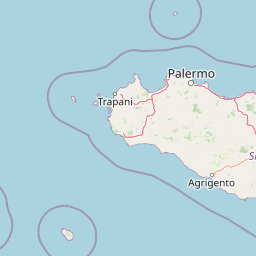
Capes
Park geography
A detailed examination of island topography, land area measurements, and coastal landscape characteristics.
Geographic Profile of Pantelleria National Park: Boundaries, Terrain, and Natural Features
The geography of Pantelleria National Park encompasses a rugged highland island landscape spanning a total area of 66.4 square kilometers. This profile details the structural distribution of Mediterranean forest and shrubland habitats, providing a comprehensive overview of the park boundary and associated coastal capes and rocky arches across the island terrain.
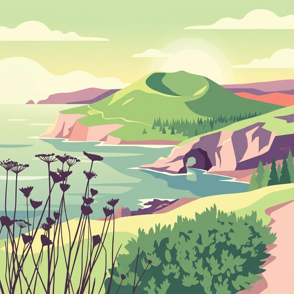
Mediterranean island park protecting volcanic landscapes and endemic biodiversity
Pantelleria National Park
Pantelleria National Park is an Italian national park established in 2016 on the island of Pantelleria, located in the Sicily channel between Sicily and Tunisia. The park encompasses approximately 66.4 square kilometers, covering roughly 80 percent of the island and representing the first national park in Sicily. The protected area was created through a decree of the President of the Republic in July 2016, following years of planning that began with the Italian law number 222/2007, which called for the establishment of four national parks in Sicily. The park protects a remarkable Mediterranean island ecosystem characterized by volcanic terrain, coastal cliffs, maquis vegetation, and a collection of species that reflect both European and North African influences due to the island's strategic position in the Mediterranean.
- Location
- Italy
- Park type
- National park
- Established
- 2016
- Area
- 66.4 km²
Location overview
Island status and regional classification within Italy
Geographic Positioning of Pantelleria National Park in Italy
Pantelleria National Park is located within the Pantelleria region of Italy. Geographic records confirm its status as an island park with distinct administrative regional relationships.
- Countries
- Italy
- Regions
- Pantelleria
- Primary location
- Italy
- Geographic setting
- Island
Boundary and coordinates
Interactive boundary geometry and calculated area metrics
Pantelleria National Park Boundary Map and Spatial Extent
Mapped park geometry provides spatial context for the protected landscape and its regional limits. Accompanying facts detail the recorded surface area and geographic span without implying legal survey precision.
- Boundary area
- 65.6 km²
- Boundary perimeter
- 77.4 km
- Northernmost point
- 36.8257° N
- Southernmost point
- 36.7344° N
- Easternmost point
- 12.0565° E
- Westernmost point
- 11.9264° E
- Geographic centre
- 36.7818° N, 12.0007° E
- North–south span
- 10.1 km
- East–west span
- 11.6 km
Terrain and natural features
Catalog of highland terrain classifications and stored natural features
Pantelleria National Park Terrain and Named Natural Feature Inventory
Stored highland terrain classifications structure the regional landscape across multiple recorded volcanic formations and coastal capes. Linked feature cards supply official names, structural types, and spatial relationships for each indexed entity.
Selected named natural features
Capes
Punta Lunghe
Reservoirs
Riserva Idrica di Montagna Grande
Capes
Punta Firréri
Cave entrances
Grotta di Sataría
Streams
Fiume di Nicà
Environmental setting
Highland relief, Mediterranean climate, and island terrain classifications
Pantelleria National Park Environmental Classifications and Physical Settings
Stored categories group highland relief, Mediterranean forest habitats, and coastal cliffs into complementary physical settings. Mapped classifications connect recorded environmental traits directly to related protected areas.
- Relief
- Highland
- Climate
- Mediterranean
- Water
- Minor water
- Forest cover
- Partial forest
Landscape features
Mountains · Islands · Cliffs
Habitat types
Mediterranean forest · Shrubland
Park atlas
Browse surrounding protected landscapes, comparing volcanic terrain and island ecosystems across the wider Sicilian and Mediterranean regions.
Discover Nearby Mediterranean Island National Parks and Protected Areas from Pantelleria National Park
Browse national parks and protected areas geographically near Pantelleria National Park, tracing similar volcanic landscapes and unique island ecosystems. Compare distinct protected areas across the broader Sicilian channel, expanding your atlas exploration of similar island environments and conservation landscapes.
National parkTunisia
About 106 km away#1 closest
West

Zembra National Park: A Protected Island Landscape in Tunisia's Mediterranean Waters
Explore its unique geography and mapped protected area boundaries.
Zembra National Park safeguards a rugged, mountainous island environment characterized by dramatic limestone cliffs plunging into the Mediterranean Sea. This national park is renowned for its exceptional avian populations, including the endangered Eleonora's falcon, and its preserved Mediterranean maquis ecosystem, supporting endemic plant species. The park's geographic isolation contributes to its status as a significant biodiversity hotspot, offering a distinct lens for understanding island ecosystems and conservation efforts within the broader Tunisian geography.
- IUCN
- II
National parkTunisia
About 138 km away#2 closest
West
Boukornine National Park: A Protected Mediterranean Mountain Landscape in Tunisia
Explore its mapped terrain and unique protected ecosystem.
Boukornine National Park in Tunisia represents a significant protected landscape, notable for its central granite peak, Jebel Boukornine, which rises sharply above the surrounding coastal plains. This national park, covering approximately 1,939 hectares, preserves a distinctive Mediterranean mountain ecosystem. Its rugged terrain, rocky slopes, and the presence of Aïn Zargua spring support a unique concentration of species, including notable flora and fauna. Understanding Boukornine National Park provides insight into the regional geography and the importance of conserving these mountainous protected areas within Tunisia.
- Area
- 19.39 km²
- Established
- 1987
- IUCN
- II
- Relief
- Mountain
National parkTunisia
197 km away#3 closest
West
Ichkeul National Park: Tunisia's Key Protected Landscape for Geographic Discovery
Explore the mapped geography and regional context of this Tunisian national park.
Ichkeul National Park is a crucial protected area located in Tunisia, offering a distinct focal point for geographic exploration and atlas-based understanding. This park's mapped boundaries and protected status are central to appreciating its role within Tunisia's natural landscapes and the wider North African region. Through structured data and detailed geographic context, users can gain insight into Ichkeul National Park's unique environmental identity and its significance as a protected natural resource.
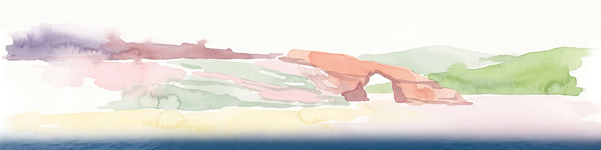
Nature reserveGozo
About 207 km away#4 closest
East

Fungus Rock: A Protected Limestone Nature Reserve on the Western Coast of Gozo
Geographic landmark and protected coastal terrain
Fungus Rock represents a critical protected landscape at the entrance to Dwejra bay, offering a unique look at Mediterranean limestone geology. Known for its vertical cliff faces and historical botanical significance, this nature reserve remains a defining feature of the Gozitan coastline and the surrounding marine environment.
- Area
- 0.007 km²
- Relief
- Upland
- Climate
- Mediterranean
- Access
- Easy access
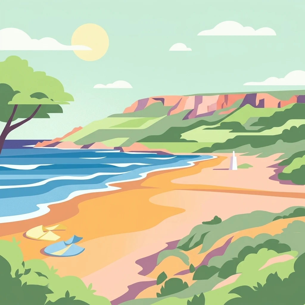
Protected areaGozo
About 214 km away#5 closest
East
Ramla Bay: Geographic Mapping and Protected Landscape Analysis of the Gozo Coast
Coastal terrain, red-sand geology, and Mediterranean rural landscapes.
Ramla Bay represents a significant protected coastal pocket on the island of Gozo. Beyond its well-known red-sand beach, the area encompasses a wider valley landscape defined by limestone headlands and agricultural plateaus. Use this mapped overview to understand the interaction between the Mediterranean coastline and the rugged rural hinterland of the Maltese islands.
- Relief
- Lowland
- Climate
- Mediterranean
- Access
- Easy access
- Scope
- Terrestrial
Nature reserveGozo
About 221 km away#6 closest
East
Comino Nature Reserve: Geography, Protected Marine Areas, and Karst Terrain in Gozo
Island ecology and coastal landscape mapping
Examine the protected geography of Comino, an island nature reserve near Gozo defined by limestone plateaus and sheltered bays. This overview covers the ecological boundaries of the Natura 2000 marine area, the distribution of coastal sea caves, and the topographic patterns of this Important Bird Area.
- Area
- 3.5 km²
- Relief
- Lowland
- Climate
- Mediterranean
- Access
- Moderate access
Marine protected areaMalta
About 225 km away#7 closest
Southeast
Ras ir-Raħeb Marine Protected Area: Geographic Profile and Mapped Coastal Landscape
Coastal cliffs and protected marine zones in north western Malta.
Ras ir-Raħeb serves as a pivotal marine protected area along the Malta coastline, where high limestone cliffs meet complex underwater habitats. This site links historical archaeological remnants with modern ecological conservation, offering a unique geographic snapshot of the Rabat plateau edge. Its mapped boundaries encompass both the terrestrial promontory and the essential seagrass meadows beneath the surface, providing a critical reference point for Mediterranean coastal geography and protected land status.
- Established
- 2005
- Relief
- Upland
- Climate
- Mediterranean
- Access
- Moderate access
Protected areaMalta
About 228 km away#8 closest
East
St Paul's Island Protected Landscape and Maltese Coastal Geography Overview
Uninhabited Mediterranean island and heritage landmark
St Paul's Island represents a unique Mediterranean limestone islet featuring maritime garigue habitat and historic ruins. Located near the Mellieħa coastline, this protected area provides a compact example of Maltese coastal geography, defined by exposed cliffs and an enduring connection to local maritime history.
- Area
- 0.101 km²
- Relief
- Lowland
- Scope
- Mixed
- Water
- Water-dominated
MoriAtlas Explorer
Continue Exploring Pantelleria National Park's Protected Landscape and Geography
Delve deeper into the cartographic details and regional significance of Pantelleria National Park. MoriAtlas provides structured geographic information, allowing you to understand the park's protected boundaries and its place within the wider Italian landscape context. Continue your atlas exploration with precise mapped data.
Browse next
Global natural geography
Explore related park routes
Explore MoriAtlas Global ParksBrowse All MoriAtlas ParksGlobal Park Map DiscoveryMoriAtlas: Browse All CountriesBrowse All MoriAtlas ContinentsNational Park Environment AtlasGrand Canyon National Park AtlasYellowstone National Park AtlasYosemite National Park Atlas and GeographySerengeti National Park AtlasGalápagos National Park Protected LandscapeBanff National Park Geography and AtlasKruger National Park Atlas EntryUluṟu-Kata Tjuṯa National Park AtlasExplore Uluru-Kata Tjuta National Park GeographyPlitvice Lakes National Park AtlasFiordland National Park Protected LandscapeGreat Smoky Mountains National Park AtlasAfghanistan National Parks and Protected AreasAlbania National Parks and Protected AreasAlgeria National Parks and Protected AreasAmerican Samoa National Parks and Protected AreasAndorra National Parks and Protected AreasAngola National Parks and Protected AreasAntarctica National Parks and Protected AreasAntigua and Barbuda Park List