Mori Atlas logo
Park earthquake history

A chronological catalogue of seismic events identified within proximity to the marine reserve

Recorded Earthquake History and Seismic Activity Near Parininihi Marine Reserve

Explore a curated collection of recorded earthquakes occurring near the coastal waters and seafloor of Parininihi Marine Reserve. This data provides a historical overview of seismic events documented by USGS systems, allowing for the review of event timing, magnitude, and epicentral distance relative to the protected marine environment. Each entry captures documented activity to support an improved understanding of the regional seismic context over time.

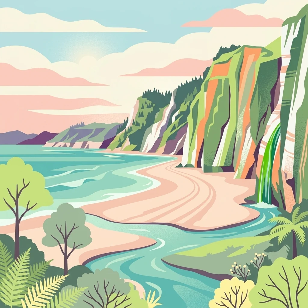
A stylized digital illustration of a coastal landscape with high cliffs, a sandy beach, a stream flowing into the sea, and lush green vegetation.

A 1,800-hectare coastal marine reserve on the North Taranaki coast, home to a richly diverse reef ecosystem.

Parininihi Marine Reserve

Parininihi Marine Reserve is a New Zealand marine reserve on the western coast of the North Island, situated offshore of the North Taranaki Bight and administered by the Department of Conservation. Established in 2006, it covers 1,800 hectares of coastal waters and seafloor north-east of New Plymouth and is best known for its unusual underwater reef ecosystems, particularly the sponge gardens of Pariokariwa Reef. The reserve's defining feature is Pariokariwa Reef, which extends north from Pariokariwa Point and supports a highly diverse marine environment. Submerged reefs give way to caves, overhangs, canyons and pinnacles encrusted with bryozoan colonies, sponges, hydroids, anemones and soft corals, surrounded by fine sediment and muddy seafloor. The reef environment sustains a wide variety of fish species and one of the country's most remarkable concentrations of rare sponges. Beyond its ecological value, Parininihi holds enduring cultural significance for Ngāti Tama, who knew the reef as a rich traditional fishing ground long before formal marine protection began. Today, the reserve is recognised as both an important ecological sanctuary and a place of ongoing customary, spiritual, and historical connection for the local iwi.

Location
New Zealand
Park type
Marine protected area
Established
2006
Area
18 km²
Parininihi Marine Reserve Atlas and Map

Navigate Parininihi Marine Reserve events by date and distance

Browse earthquakes in the area near Parininihi Marine Reserve

Browse historical seismic observations near Parininihi Marine Reserve, an 18 km² marine lowland protected area in New Zealand dominated by water; Event entries keep their coordinates, times, magnitudes, depths, localities, citations, and distance from the reserve. The search does not treat proximity as occurrence inside the marine boundary or as evidence of reef and coastal effects, present risk, or future activity.

Sort by
Magnitude
Location

This page describes catalogued earthquakes associated with the park by epicentre location and distance. It does not establish causation, assess current danger, or predict future earthquakes.

No earthquake records match the current filters

Park atlas

Continue from North Taranaki's reef sanctuary to new places

Other protected landscapes beyond Parininihi Marine Reserve’s reef setting

Parininihi Marine Reserve situates its earthquake records beside 1,800 hectares of protected North Taranaki coast and a richly diverse reef ecosystem. The next destinations are independent profiles and do not imply shared marine status, reef habitat, geology, seismic history, nearness, hazard, or evidence consistency.
National parkNew Zealand
39 km away#1 closest

Southeast

Whanganui National Park: Protected Wilderness Landscape and Geographic Context

Explore the mapped boundaries and natural terrain of this national park.

Whanganui National Park offers a unique blend of natural wilderness and significant cultural history, centered on the Whanganui River valley. This protected area safeguards one of New Zealand's most extensive lowland forest ecosystems, providing vital habitat and showcasing a landscape deeply intertwined with Māori traditions and historical settlement. Understanding its geographical setting and mapped protected boundaries reveals its importance as a distinct national park.

Area
742 km²
Established
1986
IUCN
II
Relief
Lowland
National parkNew Zealand
48 km away#2 closest

Southwest

Egmont National Park: New Zealand's Distinctive Volcanic National Park

Explore the mapped volcanic terrain and protected landscape of Mount Taranaki.

Egmont National Park represents a significant protected area within New Zealand's North Island, dominated by the iconic stratovolcano, Mount Taranaki. This national park is celebrated for its distinct circular protected boundary, a unique feature against the surrounding pastoral farmlands, and its dramatic volcanic landscape. Visitors can explore a range of natural habitats from dense temperate rainforests to alpine environments, all mapped within this significant conservation landmark.

Area
341.7 km²
Established
1900
IUCN
II
Visitors
400K annual
Protected landscapeWaikato
71 km away#3 closest

East

Pureora Forest Park: Ancient Rainforests and Protected Mountain Landscapes in Waikato

Regional geography and mapped native forest boundaries

Pureora Forest Park represents a significant protected area in the central North Island of New Zealand, defined by its towering podocarp giants and complex volcanic terrain. The park serves as a prime example of an intact rainforest ecosystem, featuring dense broadleaf canopies, deep river valleys, and significant remnants of ancient forest history. Its geography, shaped by both geological upheaval and centuries of growth, provides an essential record of the natural heritage preserved across the Waikato and Manawatu-Whanganui regions.

Area
759.57 km²
Established
1978
Relief
Mountain
Water
Major water bodies
National parkNew Zealand
81 km away#4 closest

Southeast

Tongariro National Park: New Zealand's Premier Volcanic National Park Atlas

Explore mapped terrain, active volcanoes, and unique dual World Heritage values.

Tongariro National Park, situated in New Zealand's North Island, is a globally significant protected area celebrated for its dramatic volcanic landscapes and profound cultural heritage. As the nation's oldest national park, it features three active volcanoes: Mount Ruapehu, Mount Ngauruhoe, and Mount Tongariro, set within a diverse terrain that includes forests, alpine zones, and the Rangipo Desert. Its dual World Heritage status underscores its importance for both natural attributes and its sacred cultural landscape, offering rich opportunities for geographic and atlas exploration.

Area
795.96 km²
Established
1887
IUCN
II
Relief
Mountain
Wildlife reserveWaikato
About 96 km away#5 closest

North

Kārewa / Gannet Island Wildlife Reserve: Waikato Offshore Protected Landscape Mapping

Geological tuff ring remnant and significant seabird sanctuary

Kārewa / Gannet Island serves as a crucial wildlife sanctuary and volcanic marker on the Waikato coast. This ancient tuff ring fragment rises from the seafloor to host an extensive gannet breeding population, offering a concentrated study of offshore geological and biological isolation within New Zealand's protected area network.

Relief
Lowland
Climate
Temperate
Access
Remote access
Scope
Mixed
A wide, panoramic watercolor illustration showing layers of green rolling hills in the foreground, a line of green trees in the mid-ground, and soft purple and pink mountains in the background against a pale yellow sky.
Protected areaNew Zealand
About 107 km away#6 closest

Northeast

Pirongia Forest Park: Mapped Geography and Protected Landscapes in the Waikato Region

Volcanic summits and native podocarp forest boundaries

Gain a deeper understanding of Pirongia Forest Park through its complex volcanic geology and dense native vegetation. This resource outlines the park's fragmented ridges, limestone stream systems, and its role as a biogeographic bridge within the Waikato landscape of New Zealand.

Area
167.7 km²
Established
1971
Relief
Mountain
Climate
Temperate
A minimalist watercolor painting of rolling hills and grassy landscape under a white background.
Protected areaManawatu-Whanganui Region
112 km away#7 closest

East

Kaimanawa Forest Park: A Deep Dive into Protected Forest Terrain and Regional Mountain Geography

Remote backcountry wilderness within the Manawatu-Whanganui Region

Spanning the high country of the Rangitikei District, Kaimanawa Forest Park offers a vast, forested wilderness experience distinct from the surrounding volcanic cones. This atlas entry details the park's structural role as a protected conservation area, tracing its boundaries across rugged mountain ridges and deep valleys that define the heart of New Zealand's central North Island landscape.

Area
759.57 km²
Established
1969
Relief
Mountain
Climate
Temperate
A watercolor painting showing soft, rolling green mountains and forest lines under a bright, light-filled sky.
Protected landscapeHawke's Bay
144 km away#8 closest

East

Kaweka Forest Park: Protected Landscape and Mountain Geography in Hawke's Bay

High-altitude alpine terrain and forest reserve mapping

Kaweka Forest Park represents a massive block of protected country in the central North Island, defined by the Kaweka Range and its prominent 1,724-metre summit. The landscape shifts from managed pine plantations to rugged, dissected mountain ridges, offering a unique study in New Zealand's interior geography, native ecological restoration, and geothermal features like the Mangatutu Hot Springs.

Area
594.26 km²
Established
1972
Relief
Mountain
Climate
Temperate
MoriAtlas Explorer

Explore the Geographic Boundaries and Marine Landscapes of Parininihi Marine Reserve

Delve deeper into the coastal geography and protected seafloor of Parininihi Marine Reserve. MoriAtlas provides a structured look at the Pariokariwa Reef and its surrounding marine environments, helping you trace the boundaries of this essential New Zealand ecological sanctuary and understand its placement within the Taranaki coastline's unique underwater terrain.