Mori Atlas logo
Park earthquake history

A structured catalogue of seismic events mapped by epicentre distance from the harbour

Historical Earthquake Records and Recorded Seismic Activity Near Poole Harbour in Dorset

This archive provides a transparent view of recorded earthquake activity associated with the geographic coordinates of Poole Harbour. Each entry includes verified event data such as magnitude, focal depth, and specific epicentre location to help researchers and enthusiasts understand the regional seismic history. The records are compiled from established USGS catalogues to ensure accuracy in mapping historical events within the broader Dorset coastal landscape.

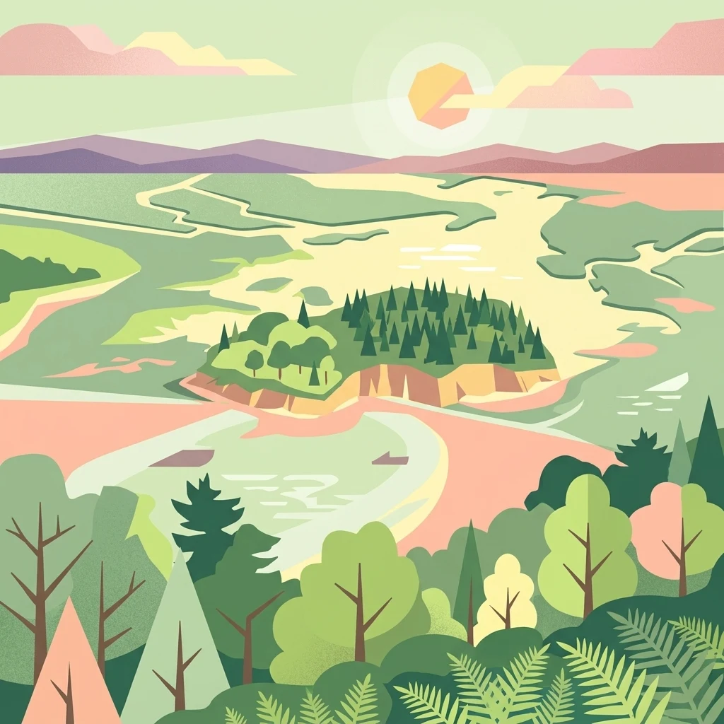
A flat-design vector illustration of a coastal estuary landscape with a forested island in the center, winding channels of water, and surrounding woodlands with ferns in the foreground, under a pale sun.

A shallow, island-studded ria harbour on the Dorset coast, recognised internationally for its wetland wildlife.

Poole Harbour

Poole Harbour is a large natural harbour on the coast of Dorset in southern England, fringing the town of Poole and opening eastwards into the English Channel. It was formed by the flooding of a river valley at the end of the last ice age, when rising seas drowned the lower Frome valley and its tributaries to create a wide, shallow estuary system. The harbour is around 36 square kilometres in extent, extremely shallow on average, and studded with several islands, the largest of which is Brownsea Island near the harbour mouth. The harbour is most notable for its ecological value rather than its maritime scale. Its intertidal mudflats, salt marshes, seagrass meadows, and fringing heathlands support internationally important numbers of wintering and breeding waterbirds, and the islands are a refuge for red squirrels. As a Ramsar-designated wetland and a focus for conservation management alongside several national and local nature reserves, Poole Harbour functions as much as a living landscape as it does a working harbour, balancing continuing ferry traffic, fishing, and recreational boating with active protection of its wildlife habitats.

Location
United Kingdom
Park type
Protected area
Area
36 km²
Poole Harbour Protected Area Geography

Review Poole Harbour records by date and distance

Browse historical earthquake data in the area near Poole Harbour

Poole Harbour covers 36 km² of United Kingdom lowland coast, beaches, dunes, islands, lakes, rivers, and wetlands from sea level upward. The seismic search preserves source-linked dates, strengths, depths, epicentral labels, and calculated distance, but does not demonstrate effects within the harbour or predict later events.

Sort by
Magnitude
Location

This page describes catalogued earthquakes associated with the park by epicentre location and distance. It does not establish causation, assess current danger, or predict future earthquakes.

No earthquake records match the current filters

Park atlas

Continue past Poole Harbour earthquake data to more parks

Discover more protected parks after Poole Harbour records

Poole Harbour covers 36 km² of United Kingdom coast, beaches, dunes, islands, lakes, rivers, and wetlands from sea level upward. Related park earthquake catalogues must be read from their own sources and distances rather than presumed to share harbour effects, exposure, risk, or outlook.
Protected areaEngland
Park boundaries overlap#1 closest

West

Dorset Heaths: Protected Lowland Landscapes and Regional Geography in Southern England

A comprehensive look at the Poole Basin heathland mosaic.

Spanning the Poole Basin, the Dorset Heaths offer a distinct geographic profile of acidic sands and diverse ecological mosaics. This protected area includes rare valley mires and coastal dunes, providing a clear window into the natural landscape history and ongoing conservation efforts within southern England's coastal regions.

Area
616.62 km²
Established
1998
Relief
Lowland
Water
Major water bodies
Watercolor painting of a coastline with rolling green cliffs meeting the sea, with small pink flowers in the foreground.
Protected landscapeUnited Kingdom
2 km away#2 closest

West

Jurassic Coast Protected Landscape: Geological Mapping and Coastal Atlas

A comprehensive look at sedimentary formations in the United Kingdom

Trace the 96-mile stretch of the Jurassic Coast, a protected landscape revealing Triassic, Jurassic, and Cretaceous rock layers. The terrain serves as a vital record of Earth history, featuring distinctive geomorphological landmarks like Chesil Beach and the towering cliffs of Golden Cap, all defined by the dynamic interaction of land and sea.

Established
2001
Relief
Upland
Climate
Temperate
Access
Easy access
Watercolor painting showing a landscape with green and purple vegetation, a body of water, and distant hills.
National parkEngland
17 km away#3 closest

Northeast

New Forest National Park: Historic Protected Landscape and Regional Geography in England

Mapped heathland, ancient woodlands, and pastoral traditions.

Explore New Forest National Park, a nationally significant protected area in England renowned for its unique blend of ancient royal forest history, traditional pastoral practices, and biologically rich lowland habitats. This page provides an atlas-focused view of its mapped boundaries, distinctive terrain, and geographic context within England, highlighting its value as a living landscape shaped by centuries of common grazing rights and supporting rare wildlife.

Area
566 km²
Established
2005
IUCN
V
Visitors
14.8M annual
Natural monumentIsle of Wight
About 24 km away#4 closest

East

The Needles Natural Monument: Coastal Chalk Geography and Protected Marine Landscapes

Geological formations and chalk headland terrain on the Isle of Wight

The Needles represents a unique geological intersection of vertical chalk strata and maritime history at the edge of the Isle of Wight. This protected area encompasses dramatic sea stacks, clifftop heathland, and critical marine habitats, offering a window into the complex coastal landscape of the English Channel and the regional geology of southern England.

Relief
Upland
Climate
Temperate
Access
Easy access
Scope
Mixed
Watercolor illustration of a coastal landscape featuring green hills, white cliffs, and a body of water
National parkSouth East England
54 km away#5 closest

East

South Downs National Park: A Distinctive Chalk Landscape in South East England's Atlas

Iconic chalk downland, coastal cliffs, and mapped terrain.

South Downs National Park is a premier protected landscape in South East England, celebrated for its unique chalk downland terrain and dramatic coastal formations. This page provides detailed geographic context for the park, highlighting its rolling hills, dry valleys, and ancient woodlands. Discover the park's mapped boundaries and its significance within England's protected areas, offering a structured atlas view for landscape exploration.

Area
1,627 km²
Established
2010
IUCN
V
Visitors
18M annual
Watercolor painting of a wetland landscape featuring a winding river, rolling green hills, and soft-focus trees under a light sky.
Protected landscapeSomerset
57 km away#6 closest

Northwest

Somerset Levels Protected Landscape: Geographic Mapping and Wetland Terrain Analysis

A low-lying coastal plain and historic wetland basin in Somerset

Examine the distinct topography of the Somerset Levels, where flat horizons, pollarded willows, and ancient drainage channels create a unique English landscape. This protected area offers deep insight into prehistoric archaeology, including preserved Neolithic trackways, alongside modern wetland conservation of international significance within a rural basin.

Area
650 km²
Established
1997
Relief
Lowland
Climate
Temperate
Watercolor painting depicting a landscape with rolling hills, a winding road, and distant mountains
National parkUnited Kingdom
95 km away#7 closest

Northwest

Exmoor National Park: A Premier Protected Landscape in South West England for Atlas Exploration

Mapped terrain, moorland, and dramatic coastal geography.

Discover Exmoor National Park, a vast protected area in South West England celebrated for its sweeping heather moorland, dramatic coastline with the highest sea cliffs on mainland Britain, and deep, ancient wooded valleys. This national park offers a unique landscape for atlas-based exploration, revealing its distinct geography, mapped boundaries, and rich terrain shaped by centuries of natural processes and human activity.

Area
692 km²
Established
1954
IUCN
V
Visitors
1.4M annual
Marine protected areaWest Sussex
About 104 km away#8 closest

East

Kingmere Marine Conservation Zone: Protected Marine Geography and Chalk Reef Landscapes

Submerged chalk cliff systems and rocky reefs in West Sussex

The Kingmere Marine Conservation Zone protects an unusual underwater landscape of chalk ridges and rocky outcrops within the English Channel. Stretching between Littlehampton and Worthing, this area serves as a vital spawning ground and exhibits some of the finest chalk reef features in European waters.

Area
47 km²
Established
2013
Relief
Lowland
Climate
Temperate
MoriAtlas Explorer

Explore the Geography and Protected Landscape of Poole Harbour

Investigate the complex topography of Poole Harbour, where marine and riverine influences converge. Utilize the MoriAtlas dataset to understand the spatial distribution of this major coastal wetland, from its shallow channels and islands to the surrounding heathland and chalk ridges of the Dorset region.