Mori Atlas logo
Park earthquake history

A historical archive of seismic events mapped to the alpine landscapes of the Caucasus Mountains.

Recorded Earthquake History and Seismic Activity Data for Prielbrusye National Park

Review a detailed collection of recorded earthquake data associated by epicentre proximity with Prielbrusye National Park. This catalogue provides historical event parameters, including recorded magnitudes, depths, and geographic coordinates for seismic activity identified in the surrounding Caucasus region. Every entry is linked to verified source records to provide a transparent overview of historical seismic occurrences near this protected mountain terrain.

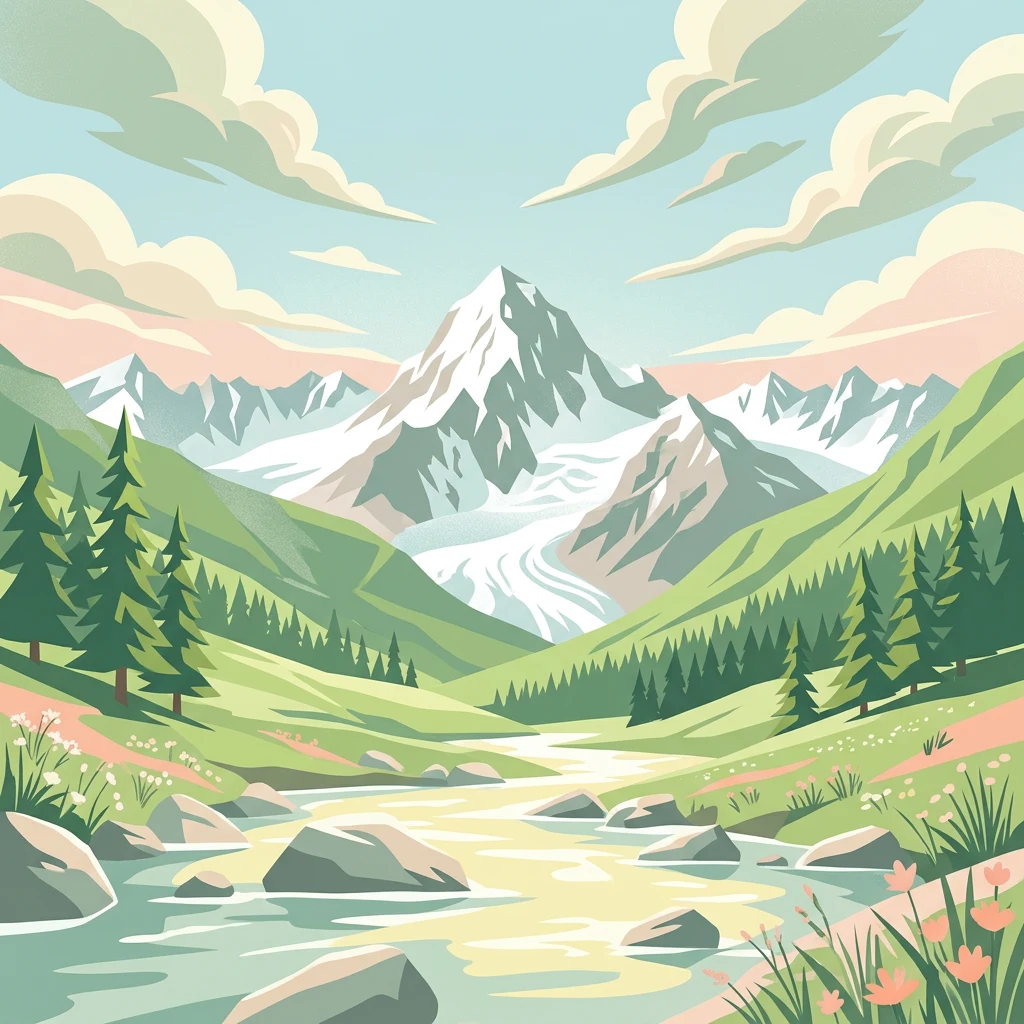
Illustration of a mountainous landscape featuring a snow-capped peak, river, green hills, pine trees, and rocky terrain under a partly cloudy sky

Highland wilderness surrounding Europe's tallest peak

Prielbrusye National Park

Prielbrusye National Park is a protected mountain wilderness in the central Caucasus Mountains of southern Russia, encompassing the area around Mount Elbrus, the highest summit in Europe at 5,642 meters above sea level. The park spans the Elbrussky and Zolsky districts of the Kabardino-Balkar Republic, covering approximately 1,010,200 hectares of dramatic alpine terrain. Established in 1986 under the management of Russia's Ministry of Natural Resources and Environment, the park protects one of the most ecologically significant landscapes in the Caucasus region, where the meeting of different ecological zones and extreme elevation variation have created exceptional biodiversity and high levels of endemism. The relative isolation of steep gorges has allowed unique species to persist, making this area particularly valuable for conservation. The park lies about 90 kilometers west of the city of Nalchik and borders Georgia to the south.

Location
Russia
Park type
National park
Established
1986
Area
10,102 km²
Highest point
5,642 m
Prielbrusye National Park Atlas

Compare seismic source records across the park’s vast mountain, glacier and river landscape

Investigate earthquake observations around Prielbrusye National Park

Explore earthquake reports around Prielbrusye National Park, officially Приэльбрусье (национальный парк), across 10,102 km² of mountains, glaciers, rivers, forest and valleys; Filter reported dates, magnitudes, depths and park distances while keeping source access. Epicentre proximity does not prove boundary occurrence, connect events to glaciers or mountains, establish present danger or predict activity.

Sort by
Magnitude
Location

This page describes catalogued earthquakes associated with the park by epicentre location and distance. It does not establish causation, assess current danger, or predict future earthquakes.

No earthquake records match the current filters

Park atlas

Continue from Prielbrusye National Park earthquake observations

Browse more park destinations beyond Prielbrusye National Park

Prielbrusye National Park rises from 1,400 to 5,642 metres across 10,102 km² of Russian alpine mountains, glaciers, rivers, forest, and valleys. Its related links support comparison of independent seismic histories without transferring this extreme relief, consequences, danger, or recurrence.
Watercolor painting of a mountainous landscape with rocky outcrops, forests, and distant hills
National parkRussia
About 32 km away#1 closest

North

Kislovodsk National Park: Geographic and Protected Area Atlas of the Caucasus Foothills

Mapped mountain terrain and urban forest boundaries in Russia.

Trace the extensive boundaries of Kislovodsk National Park, located within the North Caucasus foothills of Russia. This overview details the park's unique structure, shifting from city-adjacent gardens to the rugged elevation of the Dzhinal Ridge, providing a clear geographic context for one of Europe's most distinctive urban protected landscapes.

Area
10 km²
Established
2016
IUCN
II
Relief
Upland
A soft watercolor painting depicting a gentle mountain landscape with green forests, grassy plains, and a winding path or stream against a light background.
National parkStavropol Krai
About 33 km away#2 closest

North

Kislovodsk National Park and the Mountain Landscapes of Stavropol Krai, Russia

Protected mountain terrain and urban resort geography

Tracing the vertical gradient of Kislovodsk National Park, this entry covers the park's transition from cultivated rose valleys to forested mountain ridges. Featuring sandstone formations and extensive walking trail networks, the geography showcases the intersection of Caucasus foothill ecosystems and managed resort heritage within the Stavropol Krai region.

Area
9.658 km²
Established
2016
IUCN
II
Visitors
5.1M annual
Watercolor painting depicting mountains, a winding river, and green forests in a mountainous landscape
Nature reserveKarachay-Cherkess Republic
About 57 km away#3 closest

West

Teberda Nature Reserve: Protected Area Mapping and Geographic Context

Explore the mapped boundaries and regional geography of this protected landscape.

Teberda Nature Reserve is a significant protected area located in the Karachay-Cherkess Republic, offering rich opportunities for geographic exploration. This page provides detailed atlas-style information, focusing on the reserve's mapped landscape and its protected-area identity. Understand the unique geographic context and contours of Teberda Nature Reserve, contributing to a structured understanding of Russia's natural protected lands.

Area
849.96 km²
Established
1936
IUCN
Ia
Visitors
200K annual
National parkNorth Ossetia-Alania
About 83 km away#4 closest

Southeast

Alaniya National Park: Protected Glacial Mountain Landscape in North Ossetia-Alania, Russia

Explore dramatic terrain and ancient heritage.

Alaniya National Park, situated in the rugged Central Caucasus Mountains of North Ossetia-Alania, Russia, is a premier example of a protected landscape defined by its dramatic glacial formations and high alpine environments. The park's geography features extensive glaciated peaks, deep valleys, and unique biodiversity. It preserves critical habitats and showcases significant archaeological sites, providing a rich context for understanding the natural and cultural history of the region through a structured atlas perspective.

Area
549 km²
Established
1998
IUCN
II
Relief
Mountain
A soft watercolor painting depicting a mountain range in the background with rolling green hills and grassy foreground, isolated on a white background.
National parkNorth Ossetia-Alania
About 83 km away#5 closest

Southeast

Alania National Park: Geographic and Protected Landscape Overview of the Central Caucasus

High mountain terrain, glacial basins, and historic Ossetian sites

Alania National Park encompasses a dramatic vertical expanse, ranging from temperate coniferous forests to the snow-covered peaks of the Caucasus Mountains. The area is defined by its complex hydrography, including over fifty glaciers, numerous glacial lakes, and powerful waterfalls carved into limestone gorges. Serving as both a nature reserve and a cultural heritage zone, this protected territory balances wild mountain ecosystems with the enduring history of the Digoria region.

Area
549.26 km²
Established
1998
IUCN
II
Relief
Mountain
Watercolor landscape with mountains, river, forests, and wetlands
National parkGeorgia
117 km away#6 closest

Southwest

Kolkheti National Park: Mapped Wetland Landscape & Protected Area in Georgia

Explore the peat bogs, coastal ecosystems, and bird migration routes.

Discover Kolkheti National Park, a key protected national park located in Georgia's western coastal region. This atlas entry focuses on the park's extensive wetland environments, including its significant peat bogs and Lake Paliastomi, highlighting its role as a critical migratory bird corridor and a unique natural landscape within the Black Sea region. Understand its geographic context and protected area boundaries.

Area
807.99 km²
Established
1998
IUCN
II
Visitors
13.7K annual
Watercolor illustration of a landscape with mountains, a river, and grassy fields
National parkGeorgia
133 km away#7 closest

South

Borjomi-Kharagauli National Park: Protected Landscape Atlas of Georgia's Lesser Caucasus

Explore its unique forests, wildlife, and mountain terrain.

Delve into Borjomi-Kharagauli National Park, a significant protected area in Georgia's Lesser Caucasus region. This national park is renowned for its extensive old-growth forests, including rare Colchian fragments, and a remarkable concentration of endemic species. The park's dramatic mountainous terrain, spanning over 1,000 square kilometers, offers a rich tapestry of landscapes from deep valleys to alpine meadows, providing critical habitat for large mammals and contributing significantly to the region's biodiversity. Explore its mapped boundaries and geographic context for a deeper understanding of this vital conservation landscape.

Area
1,093 km²
Established
1995
IUCN
II
Relief
Mountain
Watercolor painting showing green and pink mountain ranges under a light yellow sky
National parkMtskheta-Mtianeti
136 km away#8 closest

Southeast

Kazbegi National Park: Georgia's Alpine Protected Landscape & Regional Geography

Explore its dramatic terrain and protected area boundaries.

Kazbegi National Park offers a unique glimpse into the dramatic alpine geography of the Greater Caucasus. As a protected national park in the Mtskheta-Mtianeti region, it showcases rugged terrain, high-altitude ecosystems, and significant natural features. MoriAtlas provides a structured way to understand the park's physical characteristics, its mapped presence, and its place within the broader regional atlas, highlighting the distinct landscape of this Georgian protected area.

Area
1,446.17 km²
Established
1976
IUCN
II
Relief
Mountain
MoriAtlas Explorer

Continue Exploring Prielbrusye National Park's Geographic and Protected Landscape Context

Deepen your understanding of Prielbrusye National Park by examining its specific mapped boundaries and its relation to the wider regional geography. This detailed view supports structured atlas exploration, helping to contextualize the park within its natural landscape and protected land systems. Continue to discover the geographic nuances that define this important national park.

Global natural geography