
Mori Atlas logo
Nature reserveRéserve naturelle nationale de la forêt domaniale de Cerisy

Mapping the ecological boundaries and plateau geography of this historic Normandy nature reserve

Réserve naturelle nationale de la forêt domaniale de Cerisy: Protected Woodland Atlas

The Réserve naturelle nationale de la forêt domaniale de Cerisy constitutes a significant protected area within the Normandy region, encompassing extensive beech forest tracts upon an ancient Proterozoic schist plateau. This nature reserve serves as a critical habitat for endemic beetle populations and diverse woodland avifauna, offering a structured geographic look at one of the most ecologically continuous forest landscapes in northwestern France.

national nature reservebeech foreststate forestforest reserveendemic beetleground beetle conservation
A stylized digital illustration of a mountain valley scene with tall trees in the foreground, steep cliffs in the midground, a small waterfall, and a setting sun in the background.

Réserve naturelle nationale de la forêt domaniale de Cerisy

Nature reserve

Park overview

Structured park overview, official facts, and landscape profile for Réserve naturelle nationale de la forêt domaniale de Cerisy

Réserve naturelle nationale de la forêt domaniale de Cerisy park facts, protected area profile, and essential visitor context

Review the core facts for Réserve naturelle nationale de la forêt domaniale de Cerisy, including designation, size, terrain, visitor scale, habitats, and operating context in one park-focused overview.

About Réserve naturelle nationale de la forêt domaniale de Cerisy

The Réserve naturelle nationale de la forêt domaniale de Cerisy is one of the older national nature reserves of France, embedded inside the much larger forêt domaniale de Cerisy, a historic state-owned woodland of the Cotentin and Bessin region. It is not a large national park in the popular sense but a tightly defined, legally protected zone whose purpose is to shield a high-quality beech woodland ecosystem together with a single endemic invertebrate subspecies of exceptional scientific interest. The site stretches across the Calvados and Manche departments, mainly within the commune of Montfiquet, with a smaller fringe in Cerisy-la-Forêt, and it is administered on the ground by the local branch of the Office national des forêts.

The forest sits on a wide plateau formed from Proterozoic schist and blanketed in clay-rich soils, conditions that have shaped a notably uniform and mature woodland cover. Roughly three quarters of the canopy is beech, with pedunculate and sessile oak making up around another tenth, Scots pine contributing about three percent, and the remainder filled by birch, chestnut, alder, hazel, holly, and other typical broadleaf associates. Beneath and alongside the trees, a varied understorey supports woodland flowers such as wood spurge, foxglove, wood anemone, and lesser wintergreen, giving the reserve a classically rich Atlantic beech forest flora of about 176 recorded plant species.

The reserve's significance, however, extends well beyond its trees. The Cerisy forest has long been noted by entomologists as the only known locality for the coppery-reflecting golden ground beetle, Chrysocarabus auronitens cupreonitens, a subspecies whose dark bronze, greenish-glinting elytra are unmistakable. Its presence, and the legal obligation to protect forest habitats that sustain it, is what originally justified the strongest available French protection mechanism at the time, the national nature reserve designation. Modern management continues to revolve around maintaining the structural continuity and dead-wood dynamics of the old beech stands on which both beetle and forest bird communities depend.

Quick facts and research context for Réserve naturelle nationale de la forêt domaniale de Cerisy

The reserve lies in the Normandy region of northwestern France, straddling the Calvados and Manche departments and covering about 2,124 hectares of the Cerisy state forest. It is classified as a national nature reserve (IUCN management category IV) under French law and is referenced in the World Database on Protected Areas as WDPA ID 4054. The site is managed by the Office national des forêts (ONF) Basse Normandie and also falls within a ZNIEFF type I natural area of ecological interest.

Creation was by ministerial decree on 2 March 1976, predating France's general nature protection law of July 1976. The forest is roughly three-quarters beech, with oak and Scots pine as secondary species, and the reserve contains about 176 recorded plant species alongside a diverse bird community that includes black and middle-spotted woodpeckers, the long-eared owl, and the European golden oriole.

Protection and recognition

Documented terrestrial protection scope, designation framework, and registry details

Réserve naturelle nationale de la forêt domaniale de Cerisy Protection Status

Terrestrial protection status and registry identifiers outline the formal conservation framework established for Réserve naturelle nationale de la forêt domaniale de Cerisy. Official records compile documented management scope and international database references without assuming unverified designations.

Protection details

Protection scope
Terrestrial
Transboundary protection
No
WDPA ID
4054
Park context

Deeper park guide and search-rich context for Réserve naturelle nationale de la forêt domaniale de Cerisy

Réserve naturelle nationale de la forêt domaniale de Cerisy history, landscape, wildlife, and travel context

Explore Réserve naturelle nationale de la forêt domaniale de Cerisy through its history, landscape character, ecosystems, wildlife, conservation priorities, cultural context, and seasonal travel timing in a structured park guide built for atlas discovery and search intent.

Why Réserve naturelle nationale de la forêt domaniale de Cerisy stands out

The reserve is best known internationally for protecting an endemic subspecies of ground beetle, Chrysocarabus auronitens cupreonitens, the coppery-shouldered golden ground beetle, whose entire global distribution falls within this forest. This tiny but scientifically striking invertebrate is the central reason the area was elevated to national nature reserve status, and beetle conservation remains the regulatory anchor of the site's protection regime. Beyond entomology, the reserve is also recognised for the size and continuity of its beech-dominated state forest, its plateau geology of ancient Proterozoic schist, and its unusually rich woodland avifauna for a lowland French forest. Together these features make it a reference site in Normandy for combined forest, beetle, and woodland bird conservation.
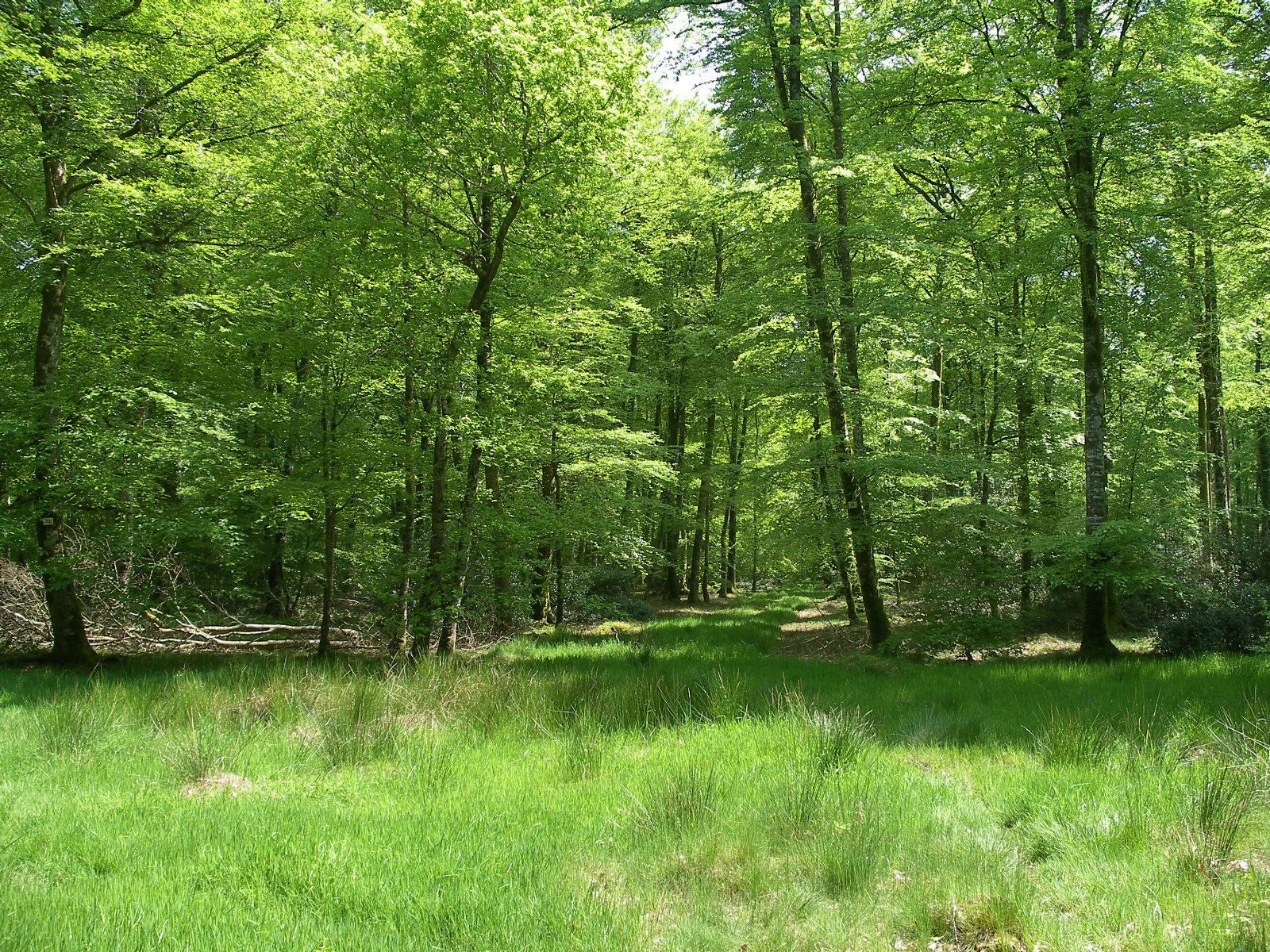
A bright, sunny view into a dense green deciduous forest with a grassy clearing in the foreground.
Lush deciduous forest foliage in the Cerisy Forest nature reserve.

Réserve naturelle nationale de la forêt domaniale de Cerisy history and protected-area timeline

The reserve was created by ministerial decree on 2 March 1976, on land that had already been part of the French state forest estate for centuries as the forêt domaniale de Cerisy. Its establishment is a notable historical moment in French conservation because, at the time the decree was signed, no general French nature protection law yet existed: the foundational loi sur la protection de la nature would only follow on 10 July 1976, a few months later. The reserve was therefore set up as one of the early national nature reserves under the existing reserves naturelles framework, chosen specifically because it was the strongest legal tool available to conserve a habitat supporting an endemic subspecies.

The driving motivation was entomological. Surveys had identified the Cerisy forest as the unique home of Chrysocarabus auronitens cupreonitens, the coppery-reflecting golden ground beetle, and there was concern about habitat loss and collecting pressure. The decree's protective wording was deliberately broad, extending protection to all carabid beetle species of the forest rather than only the single subspecies, reflecting a precautionary approach that anticipated broader future legislation.

Since creation, the reserve has been managed continuously by the Office national des forêts, initially under the former Basse Normandie regional service, and the surrounding forest has continued to function both as a working state forest and as a recognised ZNIEFF of type I for its ecological value. The site's modern visitor infrastructure, including the Maison de la forêt et du tourisme at Montfiquet with a refreshed interpretive exhibition in 2023, represents the latest layer of a long history in which Cerisy has shifted from being primarily a timber-producing state forest to being equally valued as a conservation area and a destination for nature education.

Réserve naturelle nationale de la forêt domaniale de Cerisy landscape and geographic character

The defining landscape of the Cerisy reserve is a broad, gently rolling plateau of ancient Proterozoic schist, mantled by clay-rich soils that favour beech over most other broadleaved species. The terrain is low-lying relative to the more dramatic Norman uplands, with the reserve sitting well inland from the Channel coast, but it has a quiet, enclosed character because the closed canopy and dense understorey mask most horizon features. The result is a visually continuous, low-light beech forest landscape that feels considerably more remote than its modest altitude would suggest.

Drainage is slow across the clay soils, and the reserve incorporates small wetland and pond features such as the étang du Titre, which breaks up the woodland matrix and creates open-water scenery within an otherwise forested setting. Walking trails cross long, straight forest rides between uniform high-canopy compartments, and the plateau geology expresses itself mainly through soil type and forest composition rather than through dramatic exposures.

Where the forest meets the surrounding agricultural country of the Calvados and Manche border, the transition is typically sharp: planted beech and oak give way to bocage pastures and hedgerows, characteristic of the Norman countryside. This contrast between the closed, almost primeval-feeling interior of the reserve and the heavily farmed rural landscape around it is one of the most immediate visual impressions for any visitor approaching on foot.

Réserve naturelle nationale de la forêt domaniale de Cerisy ecosystems, habitats, and plant life

Ecologically, the reserve represents a high-quality example of an Atlantic lowland beech forest on acidic, schist-derived soils, with a strong continuity of mature canopy that has not been fragmented by modern plantation cycles. The dominance of beech at roughly 75 percent of the canopy, followed by oak and a modest Scots pine component, gives the woodland a coherent structure typical of long-managed state forests in northwestern France. Around this beech framework, a diverse understorey of birch, chestnut, alder, hazel, and protected holly, along with butcher's broom which is locally protected here, builds a layered habitat profile.

The herb layer contributes substantially to the site's biodiversity record. According to available surveys, the reserve hosts around 176 vascular plant species, including characteristic woodland indicators such as wood spurge, foxglove, wood anemone, and lesser wintergreen. Together with the closed canopy, these plants define the ecological character of the site as a relatively dark, moist, structurally stable beech forest, the kind of habitat in which specialist forest invertebrates thrive.

Hydrology and microhabitats are shaped by the clay soils, and small ponds, seepages, and ride-side vegetation add structural diversity. The forest also retains mature and veteran trees, fallen dead wood, and old stumps, microhabitats that are critical both for the protected beetle subspecies and for saproxylic insects, amphibians breeding in damp litter, and cavity-nesting birds. The result is an ecological identity firmly anchored in old-growth forest processes rather than in open or edge habitats.

Réserve naturelle nationale de la forêt domaniale de Cerisy wildlife and species highlights

The wildlife profile of the Cerisy reserve is dominated by three groups: forest birds, insects, and amphibians, supported by a smaller but ecologically interesting reptile community. The avifauna is particularly notable for a lowland French forest of this size, with breeding or regularly occurring species including the black woodpecker and the middle-spotted woodpecker, the long-eared owl, and the European golden oriole, alongside many other woodland passerines. This makes the reserve a recognised site for ornithologists, including casual visitors, and contributes strongly to its identity as a bird-rich beech forest.

Invertebrate diversity is the site's scientific hallmark. The reserve's defining species is the coppery-reflecting golden ground beetle, Chrysocarabus auronitens cupreonitens, an endemic subspecies known only from this forest, recognisable by its dark bronze colour with greenish reflections. The protective decree explicitly covers all carabid beetles of the forest, not only this subspecies, and the site also supports other notable insects such as the longhorn beetle Rhagium bifasciatum ecoffetti and striking moths including the lesser purple emperor, the large tortoiseshell-style grand sylvain, and the lichen-blue Catocala fraxini.

Amphibians and reptiles are well represented for a lowland forest of this type. The damp beech litter and small pools support species such as the alpine newt, palmate newt, agile frog, and fire salamander, while the reptile community includes the common European adder and the viviparous lizard. Together, these groups confirm the reserve's role as a small but exceptionally rich lowland forest refugium, where canopy, dead wood, leaf litter, and water combine to sustain a forest fauna that punches well above its modest geographical scale.

Réserve naturelle nationale de la forêt domaniale de Cerisy conservation status and protection priorities

From a conservation standpoint, the reserve's principal significance is that it represents one of the earliest uses of the French national nature reserve mechanism to protect a single endemic invertebrate subspecies and its habitat. By targeting the coppery-reflecting golden ground beetle and, by extension, all carabid beetles of the forest, the 1976 decree created a legally durable shield for a habitat that would otherwise have relied only on the weaker instruments of the time. Today, even though a broader French nature protection law exists, the reserve status still provides the highest level of statutory protection available under French domestic law for this forest.

The conservation value of the site therefore extends well beyond the beetle. The closed beech canopy, dead-wood legacy, and clay-plateau soils sustain woodland bird populations of regional importance, an amphibian community that depends on the forest's hydrology, and a saproxylic insect assemblage that benefits from the continuity of old growth features. Recognition of the site as a ZNIEFF of type I reinforces its standing within the national inventory of ecologically important areas, and its inclusion in international databases (WDPA ID 4054, EUNIS site 4054, INPN FR3600028) reflects cross-border recognition of its conservation role.

On the ground, the Office national des forêts balances the reserve's protection requirements with the broader management of the surrounding state forest, while the Maison de la forêt et du tourisme at Montfiquet extends the conservation mission into public education through a refreshed interpretive exhibition and a programme of guided nature outings. This combination of strict legal protection, professional forestry management, and public outreach defines the modern conservation strategy of the Cerisy reserve.

Réserve naturelle nationale de la forêt domaniale de Cerisy cultural meaning and human context

The reserve sits inside the forêt domaniale de Cerisy, a state-owned forest with a long history of royal and then national administration, and that institutional heritage is part of the cultural setting of the site. The forest has long been the property of the French state, which gives the surrounding landscape its typical pattern of straight forest roads, geometric compartment boundaries, and a clear edge between woodland and the bocage farmland of the Norman countryside. Local communes such as Montfiquet and Cerisy-la-Forêt take their identity partly from this proximity to a major state forest.

The Maison de la forêt et du tourisme at Montfiquet acts as the main cultural bridge between the forest and its visitors, presenting the history of the forêt de Cerisy, its fauna and flora through a refreshed, family-friendly exhibition in 2023 and a regular programme of group and individual nature activities. The site's identity is therefore not purely ecological but also touristic, with Sunday visitors traditionally drawn to the étang du Titre, a small pond that has become something of a regional gathering spot. Together, these features give the reserve a modest but genuine cultural role within rural Normandy.

Top sights and standout views in Réserve naturelle nationale de la forêt domaniale de Cerisy

The reserve's standout quality is the combination of a large, structurally continuous beech forest with the strictest level of French nature protection, applied specifically to safeguard an endemic ground beetle subspecies. Few French protected areas combine such a clearly defined faunal focus with such a substantial woodland estate, and this juxtaposition defines the site's distinctiveness for both scientists and visitors.

Equally notable is the forest's quiet but rich birdlife for a lowland Atlantic beech forest, including species such as the black woodpecker, middle-spotted woodpecker, long-eared owl, and golden oriole. The reservoir of dead wood, the variety of woodland flowers across roughly 176 recorded plant species, and the long-standing institutional history of the surrounding state forest together reinforce the reserve's identity as a compact but complete example of Norman forest conservation.

Best time to visit Réserve naturelle nationale de la forêt domaniale de Cerisy

The Cerisy forest can be visited effectively throughout much of the year, but the experience varies considerably with the seasons. Spring and early summer are the most rewarding periods for woodland flowers and for birdwatching, when the relatively open understorey makes amphibians along the forest pools and breeding birds along the rides easier to observe, and the beech canopy is still flushing.

In autumn, the beech mast and changing foliage give the forest a strongly seasonal atmosphere typical of Atlantic broadleaf woodlands, while winter brings a clearer view through the bare branches and a quieter ambiance, as illustrated by the site's iconic open winter scenes. Because the reserve sits at low elevation on a clay plateau, heavy rain in any season can make the paths soft, but the forest rarely feels inaccessible, and weekday or off-season visits tend to be particularly peaceful.
Monthly climate preview

Long term representative point climatology and twelve month weather patterns across Normandie

Annual Temperature and Precipitation Normals for Réserve naturelle nationale de la forêt domaniale de Cerisy

Historical NASA measurements reveal the steady annual rhythm of average temperatures and daily precipitation rates recorded at a representative coordinate within Réserve naturelle nationale de la forêt domaniale de Cerisy. Reviewing the complete monthly profile provides deeper meteorological context regarding long term climate normals across the protected forest.
Annual mean11 °C
4 °C18 °C
Jan
Feb
Mar
Apr
May13°
Jun16°
Jul18°
Aug18°
Sep15°
Oct12°
Nov
Dec
Warmest month
August

17.7 °C

Coolest month
January

4.3 °C

Wettest month
December

2.8 mm/day

Driest month
March

1.7 mm/day

Park location guide

Geography guide, regional context, and park location map for Réserve naturelle nationale de la forêt domaniale de Cerisy

Réserve naturelle nationale de la forêt domaniale de Cerisy park geography, regions, and map view in France

Understand where Réserve naturelle nationale de la forêt domaniale de Cerisy sits in France through a broader geographic reading of the surrounding landscape, nearby location context, and its mapped position within the national park landscape.

How Réserve naturelle nationale de la forêt domaniale de Cerisy fits into France

France is a unitary semi-presidential republic and one of the world's largest economies. It borders Belgium, Luxembourg, Germany, Switzerland, Italy, Monaco, Andorra, and Spain, with a maritime border to the United Kingdom. The country is known for its cultural influence, art, cuisine, and political history spanning centuries.

Wider geography shaping Réserve naturelle nationale de la forêt domaniale de Cerisy in France

France is located in Western Europe. Metropolitan France extends from the Rhine to the Atlantic Ocean and from the Mediterranean Sea to the English Channel and North Sea. The country borders Belgium, Luxembourg, Germany, Switzerland, Italy, Monaco, Andorra, Spain, and has a maritime border with the United Kingdom.

Map view of Réserve naturelle nationale de la forêt domaniale de Cerisy

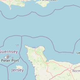
Use this park location map to pinpoint Réserve naturelle nationale de la forêt domaniale de Cerisy in France, understand its exact geographic position, and read its mapped placement within the surrounding landscape more clearly.

Pigeon | © OpenStreetMap contributors

Location context for Réserve naturelle nationale de la forêt domaniale de Cerisy

Normandie

Visualizing the beech forest canopy, plateau terrain, and protected habitats of Normandy

Réserve naturelle nationale de la forêt domaniale de Cerisy Photos and Landscape Scenery

Examine detailed photographs capturing the closed canopy, ancient schist terrain, and wetland margins of Réserve naturelle nationale de la forêt domaniale de Cerisy. Visual documentation reveals the distinct ecological character of this protected Norman woodland and its specialized habitats.

A bright, sunny view into a dense green deciduous forest with a grassy clearing in the foreground.

A deciduous forest scene in winter with bare trees and long shadows stretching across a forest floor covered in fallen brown leaves.

Park atlas

Compare regional protected areas and nearby lowland beech forest reserves

Parks Near Réserve naturelle nationale de la forêt domaniale de Cerisy

Browse protected areas surrounding Réserve naturelle nationale de la forêt domaniale de Cerisy to compare regional forest reserves and mapped terrain. Examining adjacent woodland habitats reveals broader conservation patterns across the Norman landscape.
A watercolor illustration showing a winding river flowing through a green marshland with soft tones and minimalist trees in the background.
Nature reserveManche
About 24 km away#1 closest

West

Réserve naturelle régionale des marais de la Taute: Mapped Landscape and Geography

Wetland geography and protected boundaries in Manche, France

Understand the physical characteristics of Réserve naturelle régionale des marais de la Taute, a mosaic of 147 hectares of protected wet meadows. This area serves as a significant site for marshland conservation, defined by its flat, low-lying river valley geography and fragmented parcel distribution across the Manche landscape.

Area
1.47 km²
Established
2011
Relief
Lowland
Climate
Temperate
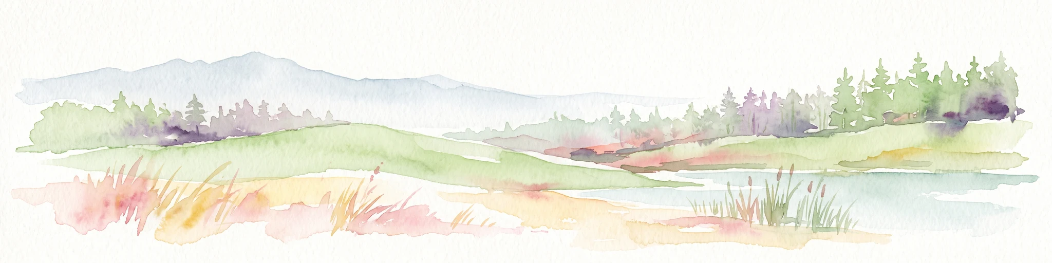
A soft watercolor painting of a serene natural landscape featuring foreground grasses, a small body of water, a grassy shoreline, coniferous trees, and hazy hills in the background.
Nature reserveNormandie
About 40 km away#2 closest

Northeast

Réserve naturelle nationale de la falaise du Cap-Romain: Coastal Nature Reserve Map

Explore protected maritime cliffs and Jurassic fossil sites in Calvados, France.

The Réserve naturelle nationale de la falaise du Cap-Romain stands as a compact but rich geological archive on the Côte de Nacre. It protects maritime cliffs, rocky tidal platforms, and significant Bathonian-age sponge fossil reefs. This site offers deep insights into the region's Quaternary history, encompassing glacial deposits, loess layers, and diverse marine fossil assemblages.

Area
0.24 km²
Established
1984
IUCN
III
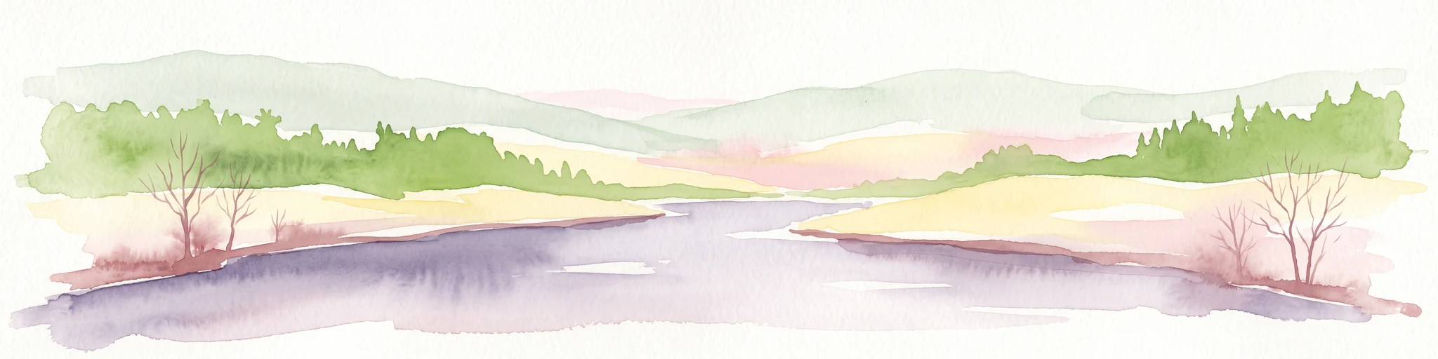
Watercolor painting of a river flowing through a valley with gentle green hills and trees on the banks.
Nature reserveCalvados
About 44 km away#3 closest

Southeast

Rochers des Parcs Nature Reserve: A Detailed Atlas and Protected Landscape Overview

Geographic boundaries and cliff terrain in Calvados, Normandy.

The Rochers des Parcs nature reserve features dramatic Cambrian conglomerate cliffs rising above the Orne river in the Calvados department. This site is defined by its steep wooded slopes, rare plant species, and established network of hiking paths. It represents a vital area of conservation, protected for its geological interest and ecological value, providing a clear window into the rugged terrain of the Suisse normande landscape.

Area
0.36 km²
Established
1977
Relief
Upland
Scope
Terrestrial
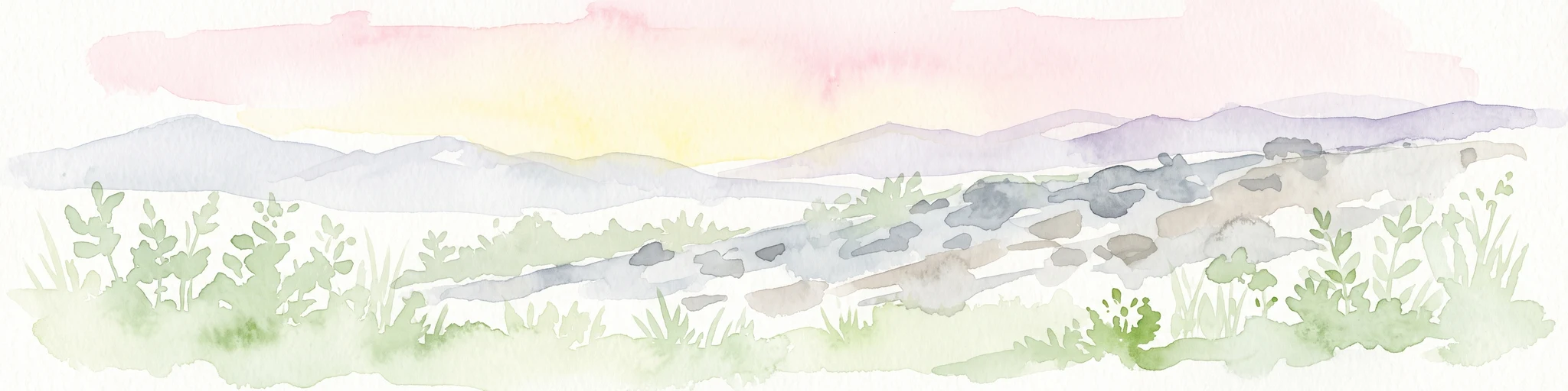
A horizontal watercolor painting depicting a soft-toned landscape with a rocky scree slope in the foreground and rolling hills under a pastel sunset sky.
Nature reserveNormandie
About 79 km away#4 closest

Southeast

Réserve naturelle régionale des pierriers de Normandie: Geographic Scree Slope Atlas

Examining rocky protected terrain in Normandy, France

The Réserve naturelle régionale des pierriers de Normandie protects one of the most distinctive natural scree slopes in northwestern Europe. This site preserves fragile rocky debris fields that support specialized vegetation and invertebrate communities. Our atlas data offers a close look at the boundaries and geological character of this significant protected landscape in the Orne department.

Area
0.009 km²
Established
2018
IUCN
IV
Scope
Terrestrial
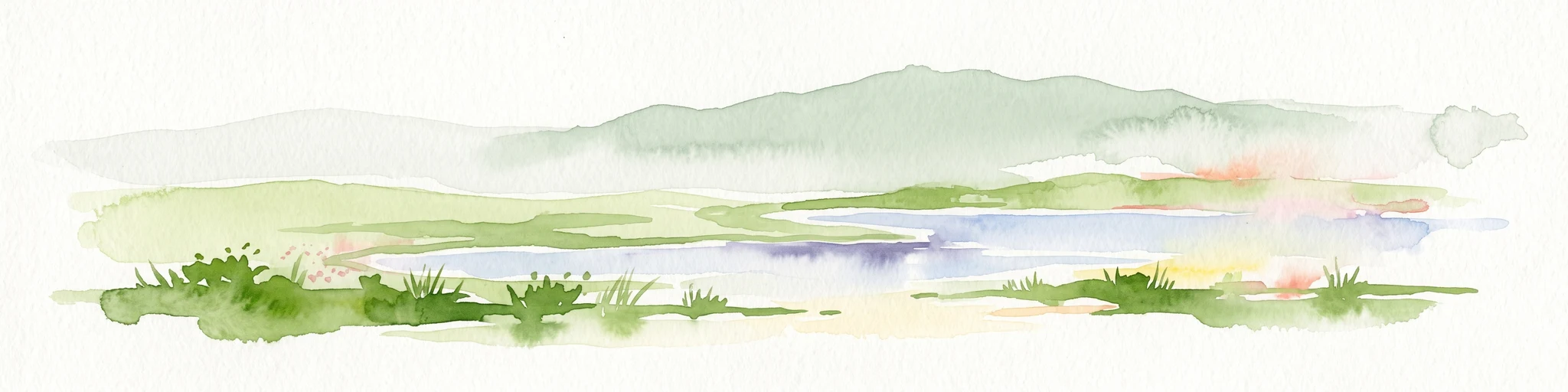
A horizontal watercolor painting showing a marshy wetland area with grassy foreground, a central pond, and soft green rolling hills in the distance.
Nature reserveNormandie
About 84 km away#5 closest

Northwest

Réserve naturelle nationale de la mare de Vauville: Coastal Lagoon and Dune Protected Area

Normandie coastal geography and wetland mapping

This protected area captures the distinct intersection of granite massifs, sandstone substrates, and active coastal dunes. The reserve features a shallow, elongated freshwater pond sheltered by a fragile dune cord, providing essential habitat for migratory waterfowl and amphibians within a concentrated coastal geography.

Area
0.603 km²
Established
1976
IUCN
IV
A soft watercolor illustration of a green wetland area with rolling hills and misty silhouettes in the background, set against a white background.
Nature reserveBretagne
About 87 km away#6 closest

Southwest

Réserve naturelle régionale du marais de Sougeal: Regional Wetland and Protected Landscape in Bretagne

A managed floodplain sanctuary near the Bay of Mont-Saint-Michel

Located in the Ille-et-Vilaine department, this regional nature reserve preserves a unique strip of wet grassland and flood-prone meadows. Use our mapping data to understand the park's specific terrain, from its narrow channel systems to its role as a key stopover for migratory waterbirds and a communal grazing area in the heart of Bretagne.

Area
1.74 km²
Established
2006
IUCN
IV
Relief
Lowland
Nature reserveFrance
About 96 km away#7 closest

Southeast

Réserve naturelle régionale géologique de Normandie-Maine: Geological Nature Reserve

A protected Ordovician limestone site in the Armorican Massif

Located in northwestern France, this reserve focuses on the geological preservation of the Carrière des Vaux. It is an essential site for understanding Paleozoic biostratigraphy, featuring well-exposed limestone sequences and significant microfossil deposits that allow for precise dating of regional strata within the Normandie-Maine landscape.

Area
0.006 km²
Established
2009
Relief
Lowland
Climate
Temperate
A pale watercolor landscape painting showing rolling green hills and distant mountain ridgelines against a white background.
Nature reservePays de la Loire
About 97 km away#8 closest

Southeast

Réserve naturelle régionale Mont des Avaloirs: Protected Landscape and Geographic Overview

Upland heath and summit geography of the Armorican Massif

Investigate the unique physical geography of Réserve naturelle régionale Mont des Avaloirs. This area acts as a biodiversity stronghold in northwestern France, defined by a dramatic interplay of stony blockfields, sheltered valley brooks, and protected peatland basins that create atypical ecological conditions across the Mayenne countryside.

Area
3.211 km²
Established
2020
IUCN
IV
Relief
Mountain

Common questions about visiting, size, designation, and location context for Réserve naturelle nationale de la forêt domaniale de Cerisy

Réserve naturelle nationale de la forêt domaniale de Cerisy FAQs for park facts, access, geography, and protected area context

Find quick answers about Réserve naturelle nationale de la forêt domaniale de Cerisy, including protected-area facts, park geography, trail and visitor context, and how the park fits into its surrounding country and regional landscape.
MoriAtlas Explorer

Continue Your Protected Areas Search Across the Global Atlas

Deepen your exploration by continuing the structured search for national parks and protected areas worldwide. Utilize the comprehensive filtering capabilities to compare different conservation landscapes and refine your understanding of global park geography. Discover more about the distribution and characteristics of protected natural areas.

Global natural geography