
Mori Atlas logo
Nature reserveRéserve naturelle régionale des grottes de la côte de la Baume

A concentrated nature reserve in the Jura department, preserving cave habitats and cliff-slope forests.

Réserve naturelle régionale des grottes de la côte de la Baume: Mapping the Protected Karst Landscape

(Réserve naturelle régionale des grottes de la côte de la Baume (RNR318))

The Réserve naturelle régionale des grottes de la côte de la Baume sits within the limestone reculée of Vaux-sur-Poligny in the Bourgogne-Franche-Comté region of France. This protected landscape covers a compact area focused on cave entrances and steep cliff faces that serve as critical underground habitats for bat populations. The terrain is characterized by scree-slope ash forests, karst formations, and vertical rock faces that provide essential shelter for diverse regional wildlife.

limestone cliffskarst cavesbat conservationcaves for batsscree-slope forestash forest
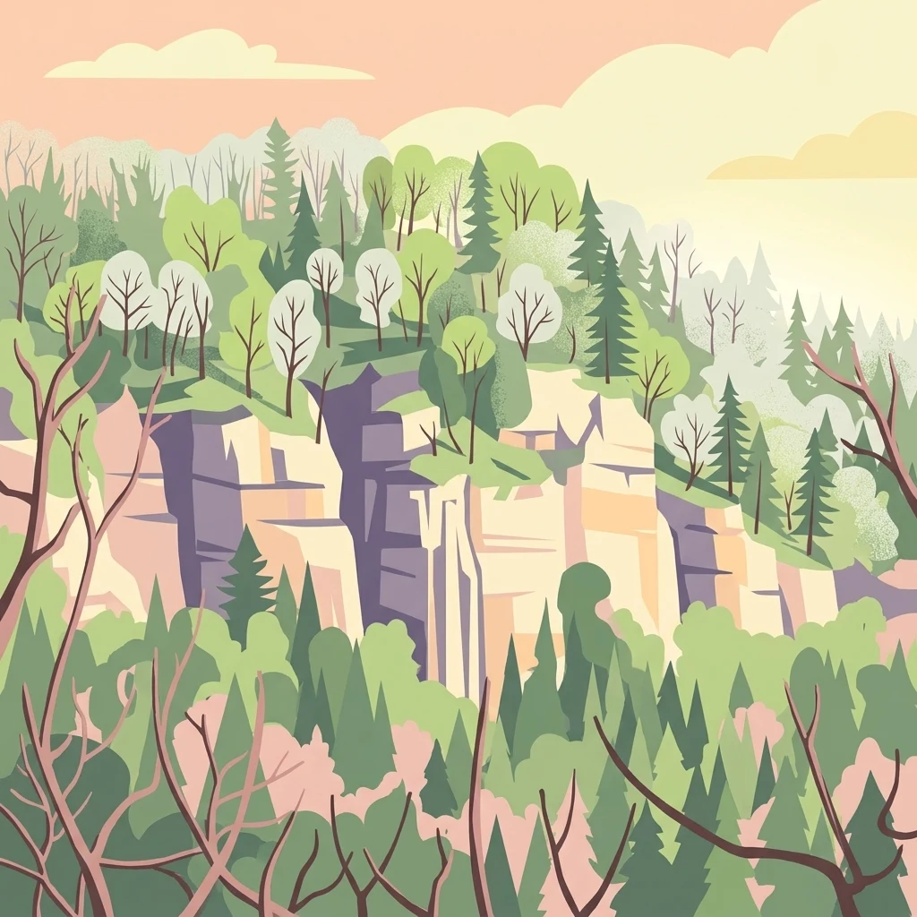
A stylized flat illustration of a forested limestone cliff landscape at sunset, featuring layered rocky bluffs surrounded by coniferous and deciduous trees.

Réserve naturelle régionale des grottes de la côte de la Baume

Nature reserve

Park overview

Structured park overview, official facts, and landscape profile for Réserve naturelle régionale des grottes de la côte de la Baume

Réserve naturelle régionale des grottes de la côte de la Baume park facts, protected area profile, and essential visitor context

Review the core facts for Réserve naturelle régionale des grottes de la côte de la Baume, including designation, size, terrain, visitor scale, habitats, and operating context in one park-focused overview.

About Réserve naturelle régionale des grottes de la côte de la Baume

The Réserve naturelle régionale des grottes de la côte de la Baume is one of seven regional nature reserves that together form the Bourgogne-Franche-Comté cave network for bats. Created in 2017, it sits on a sheltered limestone cliff face near Poligny in the Jura and is small in size but precise in purpose: protecting two cave entrances and the natural surroundings on which the bats and other cliff species depend.

Geologically, the site belongs to the reculée of Vaux-sur-Poligny, one of several characteristic dry valleys that cut back into the limestone plateau of the Jura. These reculées produce the combination of vertical cliffs, coarse scree, and cool north-facing slopes that define the local landscape. The two caves preserved within the reserve, the Grotte de la Rivière de la Baume and the Trou de la Baume, sit within this dramatic setting, and the land around them has been allowed to evolve naturally for more than two decades.

The reserve matters most as a refuge for cave-dwelling bats, particularly because the caves support different stages of the animals' annual cycle: winter hibernation, spring and autumn transit roosting, and the formation of a maternity colony. Six bat species are treated as conservation priorities across the wider cave network, and several of them are present on this single cliff face. Above the caves, peregrine falcons nest on the cliffs, and the site is therefore protected for both underground and cliff-side fauna. Together, these layers of habitat and protection give the reserve a significance far greater than its modest surface area would suggest.

Quick facts and research context for Réserve naturelle régionale des grottes de la côte de la Baume

The reserve is a French regional nature reserve (RNR) with WDPA identifier 555597289 and IUCN Category IV. It was established on 17 November 2017 by deliberation of the Bourgogne-Franche-Comté Regional Council. Its area is approximately 5.41 hectares, focused on the cliff slope of the reculée de Vaux-sur-Poligny in the Jura department.

It protects two natural cave openings on a limestone cliff, together with the surrounding forested slope. The site is part of the regional caves-for-bats network managed by CPEPESC Franche-Comté and is also designated as a Natura 2000 Special Area of Conservation within the cave network used by Schreibers' bent-winged bat (Miniopterus schreibersii).

Protection and recognition

Documented terrestrial conservation framework, designation year, and management records

Protection Status and Official Designation History for Réserve naturelle régionale des grottes de la côte de la Baume

Terrestrial conservation records for Réserve naturelle régionale des grottes de la côte de la Baume establish a documented designation year of 2017 within global protected-area databases. Official entries provide verified administrative parameters and recognition status without implying specific management outcomes.

Protection details

Protection scope
Terrestrial
Designated year
2017
Transboundary protection
No
WDPA ID
555597289
Park context

Deeper park guide and search-rich context for Réserve naturelle régionale des grottes de la côte de la Baume

Réserve naturelle régionale des grottes de la côte de la Baume history, landscape, wildlife, and travel context

Explore Réserve naturelle régionale des grottes de la côte de la Baume through its history, landscape character, ecosystems, wildlife, conservation priorities, cultural context, and seasonal travel timing in a structured park guide built for atlas discovery and search intent.

Why Réserve naturelle régionale des grottes de la côte de la Baume stands out

The reserve is especially known for its role as a bat sanctuary in the Franche-Comté cave network. Fourteen bat species or species groups use the cavities across their annual cycle, including a notable birth colony of greater horseshoe bats (Rhinolophus ferrumequinum) of around 150 individuals and spring and autumn transit gatherings of Schreibers' bent-winged bats that can reach about 200 individuals. The reserve is also notable for its cliff and slope habitats, including scree-slope ash forests that have been left unmanaged for more than twenty years. These hillside woodlands host the hart's-tongue fern (Asplenium scolopendrium) and qualify as a priority habitat under the European Habitats Directive, giving the small site an outsized ecological significance.
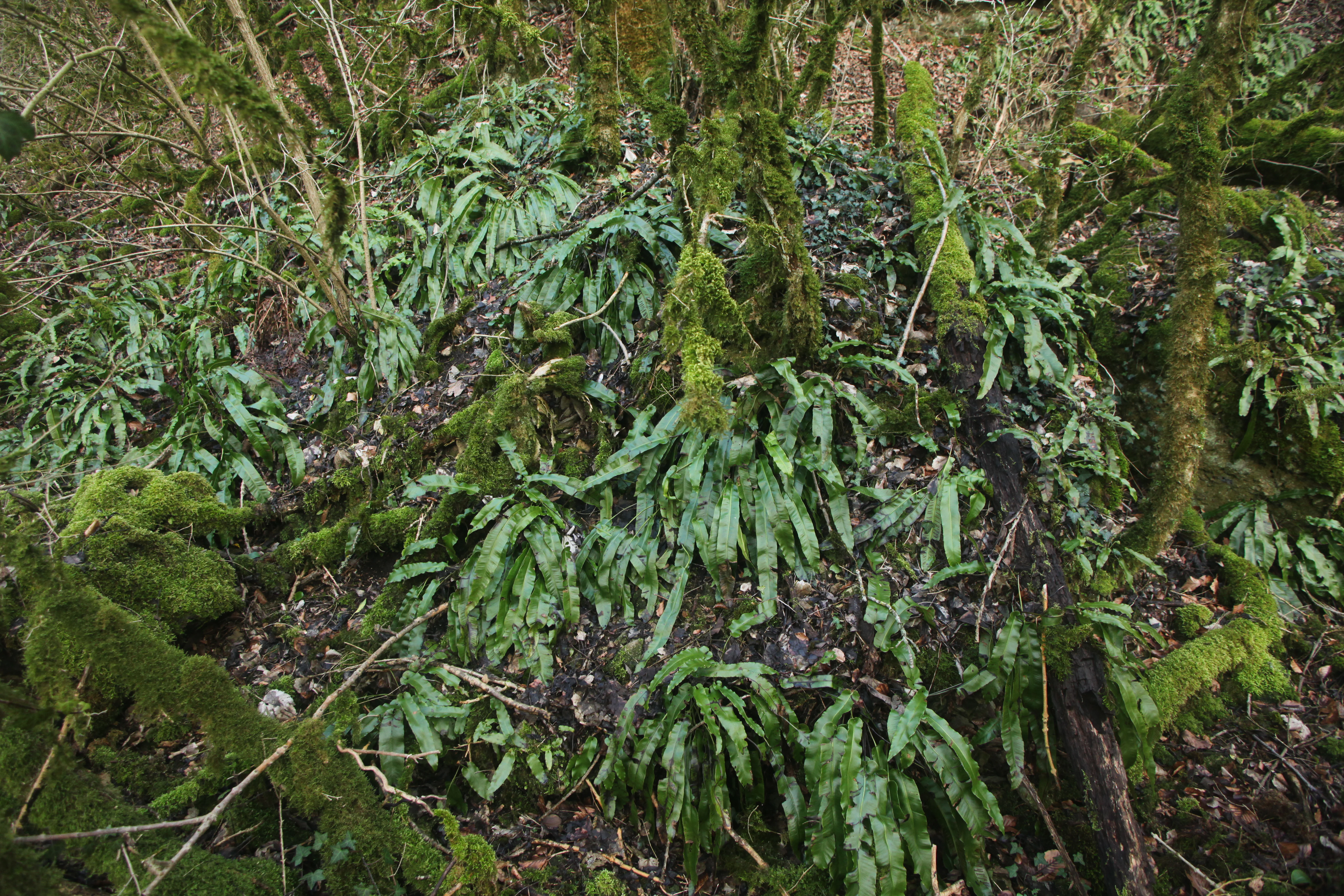
A close-up of a forest floor covered in moss and hart's-tongue ferns growing near the base of tree trunks.
Hart's-tongue ferns growing in a mossy woodland environment.

Réserve naturelle régionale des grottes de la côte de la Baume history and protected-area timeline

The protection history of these caves dates to a period before regional nature reserves existed in this form. Following the 2002 "Démocratie de proximité" law, competence for certain nature protections was transferred to the French regions, and the earlier status of Réserve naturelle volontaire was abolished. Three cave sites of importance for bats lost their protected status as a result.

In response, the former Franche-Comté region, working closely with CPEPESC Franche-Comté, studied the feasibility of building a network of new regional nature reserves specifically for bat caves and their habitats. This effort resulted in the classification of seven reserves, of which the Grottes de la côte de la Baume is one. The site's formal registration as a Réserve naturelle régionale dates from the deliberation of 17 November 2017, while the manager, CPEPESC Franche-Comté, was officially appointed by orders of 12 October 2015 and 22 December 2017.

Beyond the RNR designation itself, the site already benefited from earlier protections. It has been listed as a ZNIEFF type I area for the reculée de Vaux-sur-Poligny since 2009, and the cliff sections are covered by a prefectoral biotope protection order for the limestone cornices of the Jura dated 5 July 2013. The cliffs were included in the Natura 2000 cave network site for Schreibers' bent-winged bat from 2015. In 2019, after a period of consultation, a unified management plan covering the entire cave network was adopted unanimously by the permanent commission of the Bourgogne-Franche-Comté Regional Council, setting conservation objectives for a first five-year period.

Réserve naturelle régionale des grottes de la côte de la Baume landscape and geographic character

The reserve lies on the flank of a reculée, a steep-sided dry valley typical of the limestone plateau of the Jura. These formations were carved by river erosion that cut back into the plateau, leaving behind near-vertical cliff faces and amphitheater-like half-valleys. The cliffs below the caves of the côte de la Baume show this character clearly, with exposed rock walls, coarse scree slopes, and forested ledges that climb toward the plateau above.

The slope faces roughly north, which keeps it cooler and moister than the surrounding plateau. This combination of shading, rockfall, and the build-up of fine humus on stable ledges creates the conditions for distinctive mountain-slope forest communities, particularly scree-slope ash woodlands. Lewis the surrounding vegetation has been left untouched for more than twenty years, the cliff base and the accumulating scree are steadily returning to a more natural, uneven state. The resulting visual texture is one of mixed woodland, rocky outcrops, and exposed cliff, framed within an unusually narrow protected perimeter.

Réserve naturelle régionale des grottes de la côte de la Baume ecosystems, habitats, and plant life

The forest on the reserve's slope hosts habitat types that are considered priority features under the European Habitats Directive. In particular, the cool-faced scree slopes support a form of ash forest rich in hart's-tongue fern (Scolopendre), a fern that thrives in humid, shaded, rocky conditions.

These hillside woodlands have not been actively managed for more than twenty years, and as a result they show structural diversity typical of maturing natural forest, with fallen deadwood, layered canopy, and varied regrowth on unstable ground. The combination of cliff, scree, and layered canopy produces transitions between rock habitat, open slope, and closed woodland within a very short distance. This high habitat diversity in a compact area is what allows the reserve to support such a wide range of bat species alongside woodland flora and cliff-nesting birds.

Réserve naturelle régionale des grottes de la côte de la Baume wildlife and species highlights

Bats are by far the most important wildlife group on this site. Fourteen species or species groups are recorded as using the caves across different seasons. The caves function as winter hibernation sites, spring and autumn transit roosts, and summer maternity sites for different species.

The Schreibers' bent-winged bat (Miniopterus schreibersii) uses the cavities during the spring and autumn transit periods, with gatherings that can reach around 200 individuals. The Greater horseshoe bat (Rhinolophus ferrumequinum) maintains a maternity colony of roughly 150 individuals in one cave, while the nearby cave is used as a winter hibernation site by the same group. Several other horsehoe and mouse-eared bat species, including Geoffroy's bat and other members of the Vespertilionidae family, also hibernate in these cavities. Across the wider cave network, six bat species are designated as conservation priorities: Schreibers' bent-winged bat, lesser mouse-eared bat (Myotis blythii), Mediterranean horseshoe bat (Rhinolophus euryale), greater horseshoe bat, lesser horseshoe bat (Rhinolophus hipposideros), and Geoffroy's bat (Myotis emarginatus), most of which appear on this site.

Above the bats, the cliffs provide nesting habitat for peregrine falcon (Falco peregrinus), a species that depends on undisturbed rock ledges for breeding. Because of this, cliff-nesting raptors are also factored into the reserve's seasonal protection rules.

Réserve naturelle régionale des grottes de la côte de la Baume conservation status and protection priorities

The reserve's main conservation role is to maintain a functional, protected network of bat caves across the Bourgogne-Franche-Comté region. The Grottes de la côte de la Baume is one of seven linked sites in this scheme, and the network's overall objective is to preserve enough roosting and breeding habitat to keep six priority bat species viable. The presence of so many species on a single small cliff indicates how heavily these cave networks carry the regional bat population.

The site enjoys multiple overlapping protection layers. The RNR designation under the 2017 regional deliberation provides the core regulatory shelter. A prefectoral biotope protection order for the limestone cornices of the Jura covers the cliff face and particularly protects nesting birds from disturbance between mid-February and mid-June. The caves form part of the Natura 2000 Special Area of Conservation known as the Réseau de cavités à Minioptère de Schreibers, which extends the cave-level protection to the wider regional network. A ZNIEFF type I designation has covered the broader reculée de Vaux-sur-Poligny since 2009, providing an additional scientific inventory layer.

To protect sensitive cave-dwelling species, public access to the Grotte de la Rivière de la Baume is permitted only from 1 June to 31 October, while access to the Trou de la Baume is permitted only from 16 October to 14 April, a rotation that also keeps cave visitors away from the most vulnerable periods of hibernation and maternity. About seventy planned actions across the cave network target these priority bat species while also ensuring that the surrounding forest and cliff habitats remain in good condition.

Top sights and standout views in Réserve naturelle régionale des grottes de la côte de la Baume

The reserve is a remarkably compact site that packs together several layers of conservation interest: two natural caves used by at least fourteen bat species or species groups, a cliff face used by nesting peregrine falcons, and a maturing scree-slope ash forest that qualifies as a priority habitat under the European Habitats Directive.

It is also a clearly structured example of how French regional nature reserves are used today: a small surface area, tightly defined around cave mouths and cliff habitat, protected by overlapping statutory tools and managed under a single coordinated plan that links it to six other caves in the same network. For visitors interested in karst landscapes, cliff scenery, or the quieter side of wildlife conservation, this site offers a striking example of how caves can sit at the center of a carefully built protection strategy.

Best time to visit Réserve naturelle régionale des grottes de la côte de la Baume

Public access to the two main caves follows a seasonal rotation designed to protect bats. The Grotte de la Rivière de la Baume is open to the public between 1 June and 31 October, while the Trou de la Baume is open between 16 October and 14 April; outside these windows both caves are closed. The cliff portions of the reserve are also subject to restrictions on certain activities between 15 February and 15 June to safeguard nesting cliff birds.

For general enjoyment of the surrounding landscape, the warmer months offer easier walking conditions through the wooded slope, while mild autumn days frame the cliffs and the entrance area in lively colors. Anyone curious about the site should be aware that cave interiors are only open during specific seasonal windows and that the broader reserve is a quiet protection zone rather than a developed visitor attraction.

Monthly climate preview

Long term representative point measurements detailing monthly temperature swings and precipitation patterns

Climate Normals and Annual Temperature Range for Réserve naturelle régionale des grottes de la côte de la Baume

Representative coordinate records show average monthly temperatures ranging from sub zero winter lows to warm summer maximums alongside steady year round precipitation. Detailed month by month climate normals provide deeper insight into long term meteorological conditions across the protected terrain.
Annual mean10 °C
1 °C20 °C
Jan
Feb
Mar
Apr10°
May14°
Jun17°
Jul20°
Aug20°
Sep15°
Oct11°
Nov
Dec
Warmest month
July

19.6 °C

Coolest month
January

1.4 °C

Wettest month
November

3.5 mm/day

Driest month
March

2.4 mm/day

Park location guide

Geography guide, regional context, and park location map for Réserve naturelle régionale des grottes de la côte de la Baume

Réserve naturelle régionale des grottes de la côte de la Baume park geography, regions, and map view in France

Understand where Réserve naturelle régionale des grottes de la côte de la Baume sits in France through a broader geographic reading of the surrounding landscape, nearby location context, and its mapped position within the national park landscape.

How Réserve naturelle régionale des grottes de la côte de la Baume fits into France

France is a unitary semi-presidential republic and one of the world's largest economies. It borders Belgium, Luxembourg, Germany, Switzerland, Italy, Monaco, Andorra, and Spain, with a maritime border to the United Kingdom. The country is known for its cultural influence, art, cuisine, and political history spanning centuries.

Wider geography shaping Réserve naturelle régionale des grottes de la côte de la Baume in France

France is located in Western Europe. Metropolitan France extends from the Rhine to the Atlantic Ocean and from the Mediterranean Sea to the English Channel and North Sea. The country borders Belgium, Luxembourg, Germany, Switzerland, Italy, Monaco, Andorra, Spain, and has a maritime border with the United Kingdom.

Map view of Réserve naturelle régionale des grottes de la côte de la Baume

Use this park location map to pinpoint Réserve naturelle régionale des grottes de la côte de la Baume in France, understand its exact geographic position, and read its mapped placement within the surrounding landscape more clearly.

Pigeon | © OpenStreetMap contributors

Location context for Réserve naturelle régionale des grottes de la côte de la Baume

Bourgogne-Franche-Comté

Visual exploration of limestone cliffs, karst caves, and protected slope forest habitats

Réserve naturelle régionale des grottes de la côte de la Baume Photos and Landscape Scenery

Photographic records reveal the rugged limestone topography, vertical rock faces, and maturing woodland environments that characterize this protected Jura reserve. Examining these visual habitats helps clarify how cave entrances and steep amphitheater valleys shape the region's unique conservation landscape.

A close-up of a forest floor covered in moss and hart's-tongue ferns growing near the base of tree trunks.

A limestone cliff face rising above a dense, leafless forest during winter or early spring.

Park atlas

Compare regional karst landscapes, limestone cliffs, and connected conservation zones across the Jura

Parks near Réserve naturelle régionale des grottes de la côte de la Baume and Surrounding Protected Areas

Browse other protected areas near Réserve naturelle régionale des grottes de la côte de la Baume to examine adjacent limestone terrain and regional valley ecosystems. Comparing neighboring reserves reveals broader patterns in regional karst conservation, cliff habitats, and protected subterranean networks.
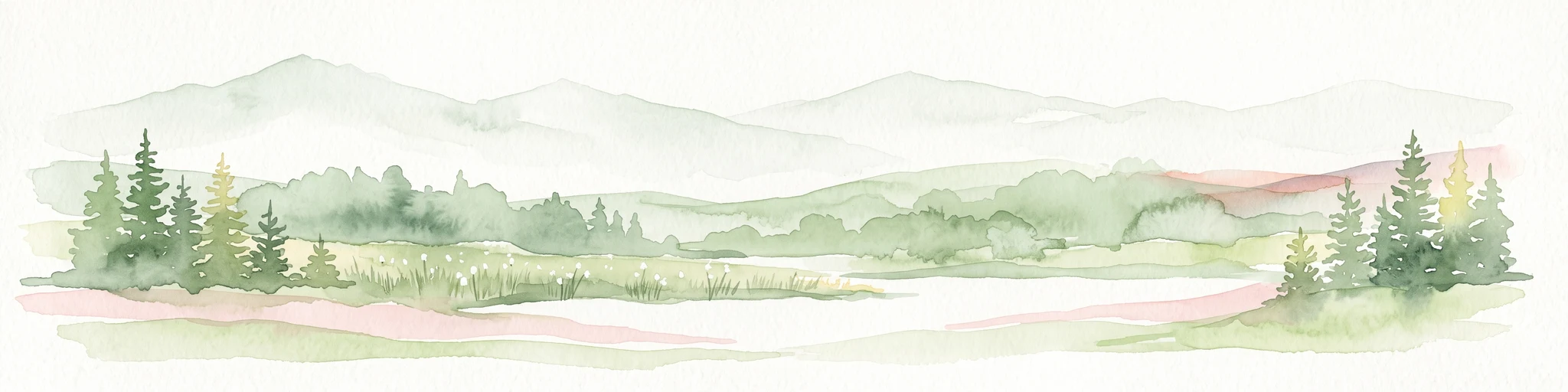
A soft watercolor illustration depicting rolling green hills, gentle slopes, and small clusters of trees against a light, neutral background.
Nature reserveBourgogne-Franche-Comté
About 24 km away#1 closest

Southwest

Réserve naturelle régionale de la côte de Mancy: Protected Landscapes and Geography

Limestone escarpments and calcareous grasslands in eastern France

Delve into the geography of Réserve naturelle régionale de la côte de Mancy, a 49-hectare nature reserve in the Jura department. This site features Jurassic limestone cliffs, thin calcareous soils, and scrubby woodlands, documenting a rich intersection of habitats that preserve rare reptiles and diverse butterfly populations within the Revermont.

Area
0.492 km²
Established
2010
IUCN
IV
Relief
Upland
Wildlife reserveBourgogne-Franche-Comté
About 24 km away#2 closest

East

Tourbières et lacs de la montagne jurassienne: Mapping High-Altitude Wetlands and Glacial Landscapes

A vast protected wildlife reserve in the Bourgogne-Franche-Comté region

Covering more than 12,000 hectares, this wildlife reserve forms a crucial conservation benchmark for peatland and glacial lake systems in the Jura Massif. The landscape encompasses deep combes, broad plateaus, and clear-water basins like Lac de Saint-Point, providing a vital habitat mosaic for diverse flora and fauna across the French highlands.

Area
121.56 km²
Established
2021
Relief
Mountain
Climate
Temperate
Nature reserveBourgogne-Franche-Comté
About 26 km away#3 closest

Southwest

Réserve naturelle nationale de la grotte de Gravelle: Underground Protected Nature Reserve

A limestone cave sanctuary in the Bourgogne-Franche-Comté region

This protected area represents a specialized subterranean habitat in the French Jura, preserving essential maternity and hibernation roosts for eleven bat species. The reserve, set within forested limestone cliffs, remains a key node in the regional network of protected underground sites, emphasizing the conservation of fragile environments.

Area
0.014 km²
Established
1992
IUCN
IV
Relief
Upland
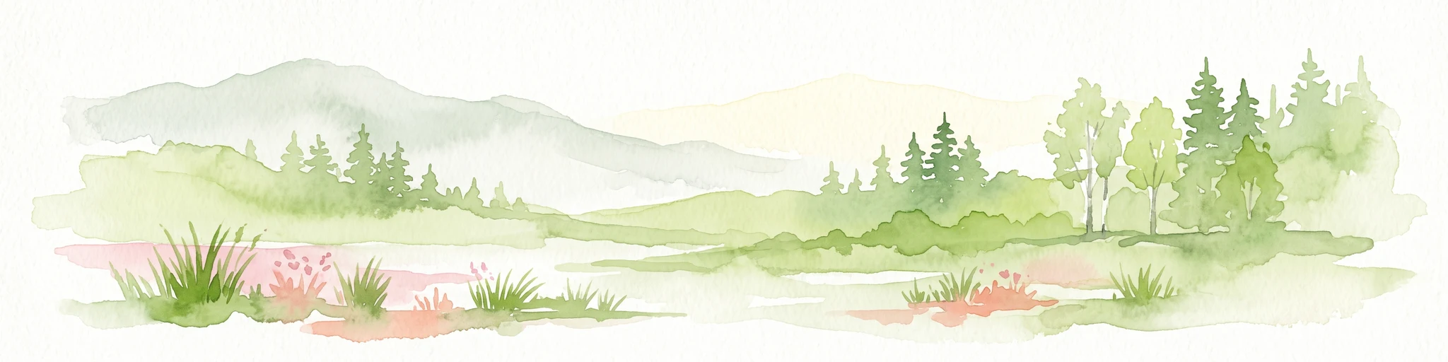
A horizontal watercolor painting showing a soft, misty landscape with coniferous trees, grassy wetlands, and rolling hills in the background, executed in a muted color palette.
Nature reserveBourgogne-Franche-Comté
About 31 km away#4 closest

East

Réserve naturelle régionale de la Seigne des Barbouillons Protected Landscape Atlas

Geography and wetland boundaries in the Jura plateau of France

The Réserve naturelle régionale de la Seigne des Barbouillons protects a characteristic raised bog ecosystem in the Mignovillard commune. This compact area serves as a vital reference point for understanding the distribution of sphagnum mires and specialized butterfly habitats across the Jura plateau, illustrating the contrast between protected peatlands and their surrounding agricultural environment.

Area
0.346 km²
Established
2014
IUCN
IV
Relief
Upland
A watercolor illustration of a landscape with green forest, wetland grasses, and pale mountains in the background, set against a clean white background.
Nature reserveBourgogne-Franche-Comté
About 34 km away#5 closest

East

Réserve naturelle régionale des tourbières de Frasne-Bouverans Protected Landscape Atlas

Peatland mosaic geography in the Drugeon valley of Bourgogne-Franche-Comté

Trace the boundaries and ecological features of this significant regional nature reserve. Spanning the Forbonnet massif and the wider Drugeon basin, the area features a dense concentration of raised bogs, woodlands, and mire habitats defined by complex glacial geology.

Area
2.926 km²
Established
1986
IUCN
IV
Visitors
17.5K annual
Nature reserveBourgogne-Franche-Comté
About 35 km away#6 closest

North

Réserve naturelle régionale du gouffre du Creux à Pépé: Protected Karst and Bat Landscapes

Jura foothills nature reserve with critical cave habitats

Located in the Doubs department, the Réserve naturelle régionale du gouffre du Creux à Pépé protects a rare limestone sinkhole within a mosaic of dry calcareous grassland. This site stands as a key node in regional bat conservation efforts, providing essential wintering and spring transit roosts within the Jura mountain foothills, all anchored by a dense network of biotope and Natura 2000 protective instruments.

Area
0.007 km²
Established
2015
IUCN
IV
Relief
Upland
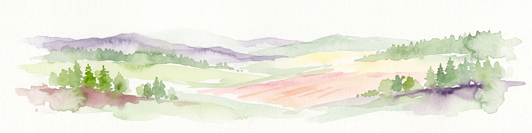
A horizontal watercolor painting depicting a soft, layered landscape with distant hills, gentle slopes, and clusters of evergreen trees in shades of green and purple.
Nature reserveBourgogne-Franche-Comté
About 36 km away#7 closest

South

Réserve naturelle régionale des tourbières du bief du Nanchez: Protected Jura Mountain Peatlands

Mapping bog systems and wet grassland geography in Eastern France

Located in the Jura department, this regional nature reserve preserves forty-nine hectares of vital peatland, including diverse mire communities and forested slopes. The site provides a critical look at montane landscape restoration, documenting significant bog flora and complex hydrological patterns along the Combe du Nanchez valley floor.

Area
0.488 km²
Established
2021
IUCN
IV
Relief
Upland
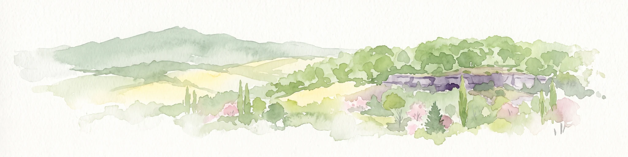
Watercolor painting of a hilly landscape featuring green rolling hills, a rocky cliff formation to the right, and trees against a soft white background.
Nature reserveBourgogne-Franche-Comté
About 39 km away#8 closest

Northeast

Réserve naturelle régionale des grottes de Chenecey: Protected Karst and Limestone Cliffs

Regional Nature Reserve in the Doubs, France

This nature reserve protects a diverse mosaic of habitats along the Loue valley. The site integrates surface calcareous grasslands with fragile underground cave galleries, providing critical refuge for rare bat species. It represents a significant conservation effort in the Jura region, mapping the intersection of subterranean voids and exposed limestone terrain.

Area
0.214 km²
Established
2017
IUCN
IV
Relief
Upland

Common questions about visiting, size, designation, and location context for Réserve naturelle régionale des grottes de la côte de la Baume

Réserve naturelle régionale des grottes de la côte de la Baume FAQs for park facts, access, geography, and protected area context

Find quick answers about Réserve naturelle régionale des grottes de la côte de la Baume, including protected-area facts, park geography, trail and visitor context, and how the park fits into its surrounding country and regional landscape.
MoriAtlas Explorer

Continue Your Protected Areas Search Across the Global Atlas

Deepen your exploration by continuing the structured search for national parks and protected areas worldwide. Utilize the comprehensive filtering capabilities to compare different conservation landscapes and refine your understanding of global park geography. Discover more about the distribution and characteristics of protected natural areas.

Global natural geography