
Mori Atlas logo
Nature reserveRéserve naturelle régionale des tourbières de Frasne-Bouverans

Mapping the extensive peat bog mosaics and glacial valley terrain in the French Jura mountains.

Réserve naturelle régionale des tourbières de Frasne-Bouverans: A Regional Protected Peatland Landscape

The Réserve naturelle régionale des tourbières de Frasne-Bouverans stands as a key protected wetland complex within the Drugeon valley of eastern France. This landscape preserves a mosaic of rare peatland habitats, ranging from raised bogs and bog woodlands to transitional mires and wet meadows. Centered on the Forbonnet massif, the reserve offers a unique window into the glacial history and hydrologic geography of the Jura mountains region.

peatlandbog forestraised bogwetlandregional nature reserveJura mountains
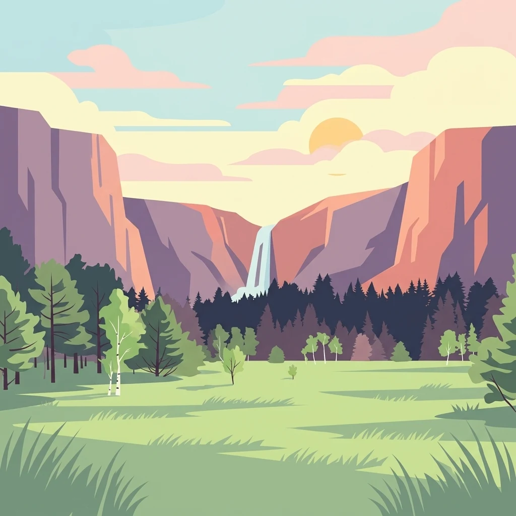
A flat-style digital illustration showing a mountain valley at sunset. In the center, a waterfall cascades between two large cliff faces, backed by a soft sky with a pale sun. In the foreground, a grassy meadow with scattered trees and shrubs leads to a dark line of forest at the base of the cliffs.

Réserve naturelle régionale des tourbières de Frasne-Bouverans

Nature reserve

Park overview

Structured park overview, official facts, and landscape profile for Réserve naturelle régionale des tourbières de Frasne-Bouverans

Réserve naturelle régionale des tourbières de Frasne-Bouverans park facts, protected area profile, and essential visitor context

Review the core facts for Réserve naturelle régionale des tourbières de Frasne-Bouverans, including designation, size, terrain, visitor scale, habitats, and operating context in one park-focused overview.

About Réserve naturelle régionale des tourbières de Frasne-Bouverans

The Réserve naturelle régionale des tourbières de Frasne-Bouverans is a wetland-focused protected area centered on the peatlands of the Drugeon valley in the eastern French Jura. It occupies a portion of one of the most peat-rich landscapes in the country, where glacial deposits and former lake beds created the conditions for thick accumulations of peat over thousands of years. The reserve's three component areas, the Forbonnet massif, the Levresses sector, and the marais de l'Écouland, together represent a wide cross-section of mire and bog forest habitats typical of the Jura uplands.

The defining character of the site is its ecological diversity within a relatively compact area. Open raised bogs and transitional mires sit alongside wet meadows, reedbeds, sedge-dominated marshes, and bog woodland, while small pools (gouilles) host specialized aquatic flora. The Forbonnet massif in particular supports an extensive bog forest dominated by Scots pine and bog spruce, a habitat type that is increasingly rare in France and central to the reserve's identity.

Beyond its ecological value, the reserve is a key component of the broader Drugeon basin conservation framework. The surrounding basin contains 37 separate peatlands and is recognized under the Ramsar Convention, while the valley itself benefits from a prefectural biotope protection order. This layered protection, together with visitor infrastructure such as a boardwalk discovery trail, makes the site both a conservation stronghold and an accessible example of Jura peatland landscapes.

Quick facts and research context for Réserve naturelle régionale des tourbières de Frasne-Bouverans

The Frasne-Bouverans reserve is a regional nature reserve (réserve naturelle régionale) covering roughly 293 hectares in the Doubs department, within the Bourgogne-Franche-Comté region. It is managed by the Communauté de communes du plateau de Frasne et du val du Drugeon under the authority of the regional council.

It lies in a wide synclinal valley shaped by glaciation, where moraines and former lake basins allowed peat to accumulate over centuries. The site is part of the Drugeon basin, designated as a Ramsar wetland and overlapping with broader peatland protection extending into the Jura mountain peatlands and lakes.

Protection and recognition

Explore documented terrestrial protection metrics, designation year, and official management records.

Protection Status and Designation History for Réserve naturelle régionale des tourbières de Frasne-Bouverans

Réserve naturelle régionale des tourbières de Frasne-Bouverans maintains a documented terrestrial protection status established in 2014 within the global protected areas database. Official records provide foundational designation metrics and management scope without supplementary international recognition programs.

Protection details

Protection scope
Terrestrial
Designated year
2014
Transboundary protection
No
WDPA ID
555561901
Park context

Deeper park guide and search-rich context for Réserve naturelle régionale des tourbières de Frasne-Bouverans

Réserve naturelle régionale des tourbières de Frasne-Bouverans history, landscape, wildlife, and travel context

Explore Réserve naturelle régionale des tourbières de Frasne-Bouverans through its history, landscape character, ecosystems, wildlife, conservation priorities, cultural context, and seasonal travel timing in a structured park guide built for atlas discovery and search intent.

Why Réserve naturelle régionale des tourbières de Frasne-Bouverans stands out

The reserve is best known for the Forbonnet massif, described as the largest wooded peat bog in France, and for its rich mosaic of peatland habitats typical of the Jura mountains. It is also known for hosting rare mire species such as the Fen Orchid (Liparis loeselii) and the Shining Sickle-moss (Hamatocaulis vernicosus), alongside characteristic bog flora including Sphagnum mosses, cranberries, bog rosemary, and round-leaved sundews.
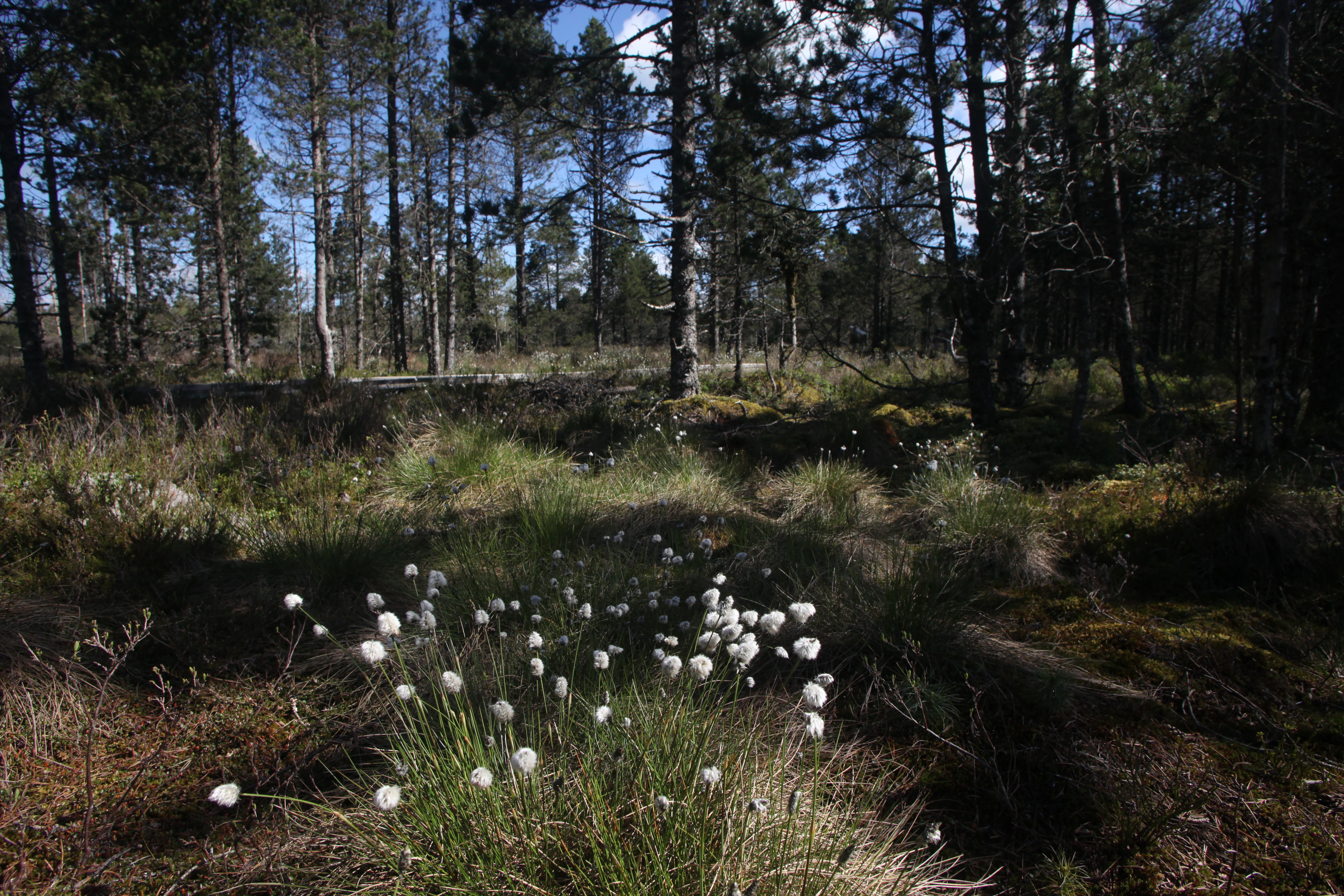
A cluster of white fluffy cottongrass blooms in the foreground, with a coniferous forest and open peatland vegetation in the background.
Cottongrass in the understory of a pine forest within the reserve.

Réserve naturelle régionale des tourbières de Frasne-Bouverans history and protected-area timeline

The peatlands of Frasne-Bouverans were once exploited by local communities as a source of fuel, with peat historically cut and dried for domestic use. Over centuries, this slow harvesting was offset by continuous peat accumulation, which reached depths of up to five meters in places where growth rates of three to five centimeters per century outpaced extraction.

Modern protection began in the 1980s, when the commune of Frasne moved to safeguard its peatlands. In 1986 this effort resulted in the creation of the réserve naturelle volontaire des tourbières de Frasne, France's voluntary reserve designation at the time. That status was withdrawn in 2002 following the loi démocratie de proximité, which reorganized the country's protected-area framework.

A reclassification process followed, culminating on 14 February 2014 when the site was officially redesignated as a regional nature reserve (réserve naturelle régionale) for an initial term of ten years. The reserve is now managed locally by the Communauté de communes du plateau de Frasne et du val du Drugeon on behalf of the Bourgogne-Franche-Comté region, while the surrounding Drugeon basin gained Ramsar status in 2003 and additional wetland protection in 2004.

Réserve naturelle régionale des tourbières de Frasne-Bouverans landscape and geographic character

The reserve occupies a section of the broad Drugeon valley, a wide synclinal trough within the Jura mountains that was filled by glacial deposits during the Pleistocene. Moraines and the beds of former glacial lakes created shallow basins with poor drainage, providing the conditions under which peat could accumulate over many millennia.

The terrain is gently undulating rather than mountainous, crossed by slow-moving water and dotted with shallow bog pools. Sphaigne-rich raised bogs, transitional mires, wet meadows, reedbeds, and bog woodlands create a patchwork landscape in which open mire, willow and birch scrub, and conifer-dominated bog forest alternate over short distances. The Forbonnet massif forms the most visually distinctive feature, with extensive bog woodland framing open peat cuttings and pools, while the Levresses sector offers a broader mosaic of open mires and sedge stands.
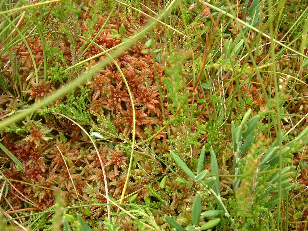
A close-up, high-angle shot of reddish-brown sphagnum moss growing amidst green grasses and low-lying bog vegetation.
Sphagnum moss in the peat bogs of the Frasne-Bouverans nature reserve.

Réserve naturelle régionale des tourbières de Frasne-Bouverans ecosystems, habitats, and plant life

Ecologically, the Frasne-Bouverans reserve stands out for the diversity of peatland habitats packed into a relatively small area. The site includes bas-marais (lowland mires), transitional mires, and hauts-marais (raised bogs), along with associated wet meadows, reedbeds, and bog woodland, reflecting the full successional gradient typical of Jura peatland complexes.

Vegetation patterns reflect nutrient-poor, acidic, waterlogged conditions. Sphagnum mosses dominate the active mire surfaces, accompanied by characteristic bog plants such as bog rosemary (Andromeda polifolia), bog bilberry, cranberry species, common heather, and scattered stands of Pin à crochets, the hooked pine that colonizes the most impoverished substrates. Small bog pools provide habitats for round-leaved and long-leaved sundews, insectivorous plants adapted to the nutrient-poor chemistry of peatland waters.

The reserve holds twelve plant species protected at the national level in France and fourteen others protected at the regional level, indicating strong botanical significance within the national peatland network.
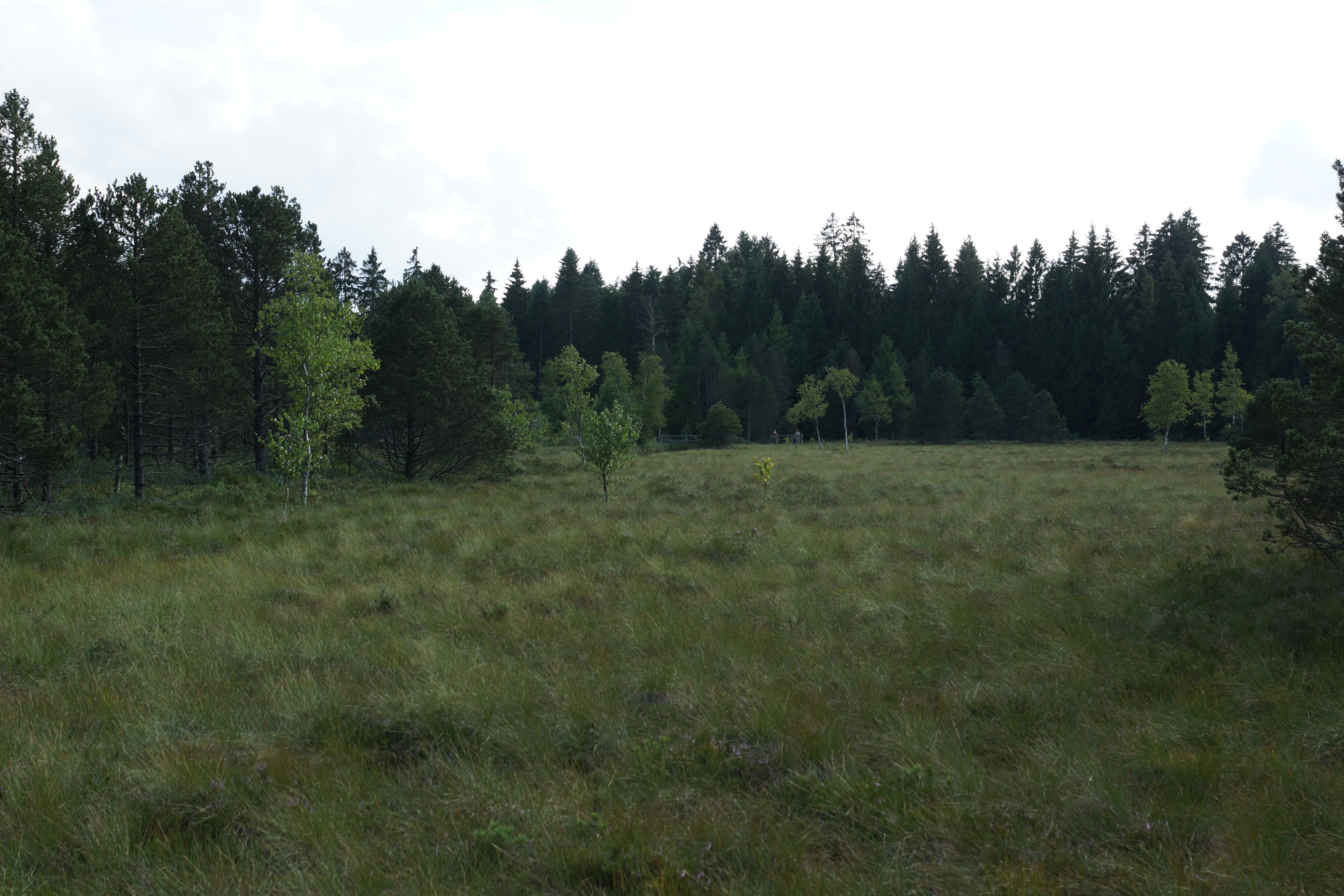
A wide, flat expanse of grassy peat bog surrounded by a dense coniferous forest under an overcast sky.
A view across the peat bog landscape in the Réserve naturelle régionale des tourbières de Frasne-Bouverans.

Réserve naturelle régionale des tourbières de Frasne-Bouverans wildlife and species highlights

The reserve's fauna reflects the mosaic of woodland, open mire, and aquatic habitats that characterize the site. The Forbonnet bog woodland supports mammals such as roe deer, wild boar, red fox, polecat, and stoat, and is also frequented by the Eurasian lynx, adding a notable carnivore presence to the conservation profile.

Birdlife includes species typical of coniferous bog forest and open mire edges, with crossbills, meadow pipits, and spotted nutcrackers among the characteristic avifauna. Amphibians and reptiles are represented by common toad, common frog, viviparous lizard, and the European adder (Vipère péliade), all species associated with cool, humid peatland conditions.

Invertebrate diversity is particularly notable, with rich dragonfly assemblages around the bog pools and several heritage butterfly species tied specifically to peatland habitats, including the marsh fritillary, the moorland clouded yellow, and the bog fritillary. Their presence reinforces the reserve's identity as a stronghold for peatland-dependent insects as well as plants and vertebrates.

Réserve naturelle régionale des tourbières de Frasne-Bouverans conservation status and protection priorities

The reserve is a cornerstone of peatland conservation in the Bourgogne-Franche-Comté region, protecting one of the most extensive and diverse bog complexes in eastern France. The Forbonnet massif is recognized as the largest wooded peat bog in the country, giving the site national significance for the conservation of bog forest habitat, a structural type that has declined sharply across much of Europe.

Its protection is layered: the reserve itself sits within the broader Drugeon basin, which encompasses 37 peatlands and was designated a Ramsar wetland site in 2003, later expanded in 2021 into the larger Tourbières et lacs de la montagne jurassienne Ramsar site. The valley is additionally covered by a prefectural biotope protection order dating from 2004, providing complementary safeguards against damaging activities.

Conservation value is reinforced by the presence of nationally protected plant species such as Liparis loeselii and Hamatocaulis vernicosus, and by habitat types, including raised bog, transitional mire, and bog woodland, that correspond to priority peatland habitats of high conservation concern across Europe. The reserve's regulatory framework restricts access to marked paths and prohibits the taking of plant or animal material without special authorization.

Réserve naturelle régionale des tourbières de Frasne-Bouverans cultural meaning and human context

The peatlands of Frasne-Bouverans have long been part of the everyday landscape of local communities, who historically harvested peat as a domestic fuel. This tradition shaped both the physical character of the mires, through centuries of small-scale cutting, and the cultural attachment of the commune of Frasne to its bogs, which in turn drove the local initiative to protect them starting in the 1980s.

Today the reserve also plays a role in regional environmental education and identity, with a boardwalk trail and interpretation panels that present the peatland landscape as a shared natural and cultural heritage of the Drugeon valley.

Top sights and standout views in Réserve naturelle régionale des tourbières de Frasne-Bouverans

The reserve's strongest points of distinction include the Forbonnet massif, the largest wooded peat bog in France, a full mosaic of peatland habitat types from raised bog to bog forest, and a notably rich flora of nationally and regionally protected mire species. Its inclusion in a Ramsar-recognized basin and its combination of strict protection with accessible discovery infrastructure make it a benchmark for Jura peatland conservation.

Best time to visit Réserve naturelle régionale des tourbières de Frasne-Bouverans

The reserve's character shifts with the seasons in ways typical of mid-elevation Jura peatlands. Late spring and early summer bring the most active growth, with flowering bog plants, active dragonflies, and warming conditions that make boardwalks comfortable to walk. Summer offers the fullest expression of green bog vegetation and insect activity, though warm weather can bring mosquitoes around the wettest areas.

Autumn tends to be quieter and cool, with golden tones in the bog woodland and reduced insect pressure, while winter can bring frost and occasional snow that transform the open mires into a stark, muted landscape, though boardwalk conditions may then be more demanding. Because the site lies at moderate elevation in the Jura, periods of deep snow or prolonged wet weather can occasionally limit comfortable access, so milder shoulders of the year are generally the most rewarding for landscape and wildlife appreciation.


Monthly climate preview

Long-term monthly temperature and precipitation rhythm recorded at a representative elevation point

Réserve naturelle régionale des tourbières de Frasne-Bouverans Climate and Annual Temperature Normals

Long-term measurements show average monthly temperatures ranging from sub-zero winter minimums to warm summer maximums alongside steady daily precipitation rates throughout the year. Reviewing the complete twelve-month sequence provides detailed context on measured temperature swings and monthly moisture patterns across the protected landscape.
Annual mean8 °C
0 °C18 °C
Jan
Feb
Mar
Apr
May12°
Jun16°
Jul18°
Aug18°
Sep14°
Oct
Nov
Dec
Warmest month
August

17.7 °C

Coolest month
January

-0.5 °C

Wettest month
December

3.9 mm/day

Driest month
March

2.9 mm/day

Park location guide

Geography guide, regional context, and park location map for Réserve naturelle régionale des tourbières de Frasne-Bouverans

Réserve naturelle régionale des tourbières de Frasne-Bouverans park geography, regions, and map view in France

Understand where Réserve naturelle régionale des tourbières de Frasne-Bouverans sits in France through a broader geographic reading of the surrounding landscape, nearby location context, and its mapped position within the national park landscape.

How Réserve naturelle régionale des tourbières de Frasne-Bouverans fits into France

France is a unitary semi-presidential republic and one of the world's largest economies. It borders Belgium, Luxembourg, Germany, Switzerland, Italy, Monaco, Andorra, and Spain, with a maritime border to the United Kingdom. The country is known for its cultural influence, art, cuisine, and political history spanning centuries.

Wider geography shaping Réserve naturelle régionale des tourbières de Frasne-Bouverans in France

France is located in Western Europe. Metropolitan France extends from the Rhine to the Atlantic Ocean and from the Mediterranean Sea to the English Channel and North Sea. The country borders Belgium, Luxembourg, Germany, Switzerland, Italy, Monaco, Andorra, Spain, and has a maritime border with the United Kingdom.

Map view of Réserve naturelle régionale des tourbières de Frasne-Bouverans

Use this park location map to pinpoint Réserve naturelle régionale des tourbières de Frasne-Bouverans in France, understand its exact geographic position, and read its mapped placement within the surrounding landscape more clearly.

Pigeon | © OpenStreetMap contributors

Location context for Réserve naturelle régionale des tourbières de Frasne-Bouverans

Bourgogne-Franche-Comté

Explore protected wetland scenery, bog forests, and glacial valley terrain across the regional nature reserve.

Visualizing Réserve naturelle régionale des tourbières de Frasne-Bouverans Photos and Landscapes

Photographs capture the diverse wetland habitats, raised bogs, and slow-moving water channels that define the Drugeon valley basin. Visual documentation provides essential context for understanding the rare flora and glacial topography preserved within the protected landscape.

A cluster of white fluffy cottongrass blooms in the foreground, with a coniferous forest and open peatland vegetation in the background.

A weathered wooden boardwalk trail leading into a green forest and peat bog area.

A close-up, high-angle shot of reddish-brown sphagnum moss growing amidst green grasses and low-lying bog vegetation.

A wide, flat expanse of grassy peat bog surrounded by a dense coniferous forest under an overcast sky.

Park atlas

Compare nearby protected areas and regional wetland landscapes across the Jura basin.

Other Parks Near Réserve naturelle régionale des tourbières de Frasne-Bouverans

Browse protected areas and wetland reserves located near Réserve naturelle régionale des tourbières de Frasne-Bouverans. Comparing surrounding regional park geography provides deeper context into glacial valley ecosystems and regional conservation networks.
Wildlife reserveBourgogne-Franche-Comté
Mapped location lies within the park boundary#1 closest

South

Tourbières et lacs de la montagne jurassienne: Mapping High-Altitude Wetlands and Glacial Landscapes

A vast protected wildlife reserve in the Bourgogne-Franche-Comté region

Covering more than 12,000 hectares, this wildlife reserve forms a crucial conservation benchmark for peatland and glacial lake systems in the Jura Massif. The landscape encompasses deep combes, broad plateaus, and clear-water basins like Lac de Saint-Point, providing a vital habitat mosaic for diverse flora and fauna across the French highlands.

Area
121.56 km²
Established
2021
Relief
Mountain
Climate
Temperate
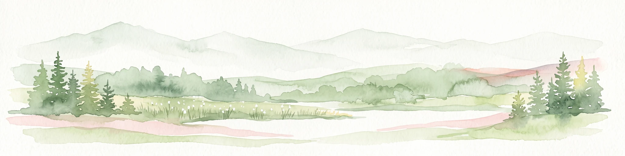
A horizontal watercolor painting showing a soft, misty landscape with coniferous trees, grassy wetlands, and rolling hills in the background, executed in a muted color palette.
Nature reserveBourgogne-Franche-Comté
About 6.2 km away#2 closest

Southwest

Réserve naturelle régionale de la Seigne des Barbouillons Protected Landscape Atlas

Geography and wetland boundaries in the Jura plateau of France

The Réserve naturelle régionale de la Seigne des Barbouillons protects a characteristic raised bog ecosystem in the Mignovillard commune. This compact area serves as a vital reference point for understanding the distribution of sphagnum mires and specialized butterfly habitats across the Jura plateau, illustrating the contrast between protected peatlands and their surrounding agricultural environment.

Area
0.346 km²
Established
2014
IUCN
IV
Relief
Upland
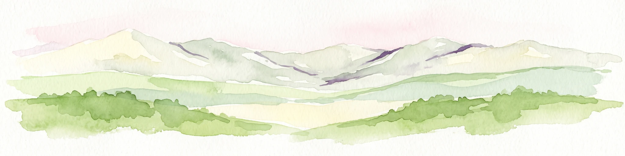
A horizontal watercolor painting depicting a soft-edged, green-and-white landscape of rolling hills and distant limestone ridgelines.
Nature reserveBourgogne-Franche-Comté
About 27 km away#3 closest

North

Réserve naturelle nationale du ravin de Valbois: Protected Jura Blind Valley and Limestone Ravines

Geographic landscape exploration of the Doubs department's protected natural reserve.

Spanning 235 hectares, this protected nature reserve in Bourgogne-Franche-Comté preserves a textbook Jura reculée. The terrain showcases vertical limestone cliffs, deep forested ravines, and a 40-meter cascade. As a hotspot for butterfly diversity and Mediterranean-montane vegetation, the area offers a significant study in microclimatic gradients and old-growth forest conservation within the French landscape.

Area
2.35 km²
Established
1983
IUCN
IV
Relief
Mountain
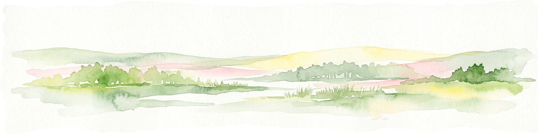
A horizontal watercolor painting depicting a soft, impressionistic landscape with rolling green hills, pale yellow fields, and a sparse line of trees against a white background.
Nature reserveBourgogne-Franche-Comté
About 34 km away#4 closest

West

Réserve naturelle régionale des grottes de la côte de la Baume, Jura Regional Nature Reserve

Karst caves and cliff-slope forest geography in France

Located in the Bourgogne-Franche-Comté region, this nature reserve protects a vital network of karst caves and unmanaged scree-slope ash forests. The site represents a specialized conservation effort centered on cliff-side habitats and underground sanctuaries within the Jura limestone landscape.

Area
0.054 km²
Established
2017
IUCN
IV
Relief
Upland
Watercolor painting of a hilly landscape featuring green rolling hills, a rocky cliff formation to the right, and trees against a soft white background.
Nature reserveBourgogne-Franche-Comté
About 36 km away#5 closest

Northwest

Réserve naturelle régionale des grottes de Chenecey: Protected Karst and Limestone Cliffs

Regional Nature Reserve in the Doubs, France

This nature reserve protects a diverse mosaic of habitats along the Loue valley. The site integrates surface calcareous grasslands with fragile underground cave galleries, providing critical refuge for rare bat species. It represents a significant conservation effort in the Jura region, mapping the intersection of subterranean voids and exposed limestone terrain.

Area
0.214 km²
Established
2017
IUCN
IV
Relief
Upland
Nature reserveBourgogne-Franche-Comté
About 42 km away#6 closest

Northwest

Réserve naturelle régionale du gouffre du Creux à Pépé: Protected Karst and Bat Landscapes

Jura foothills nature reserve with critical cave habitats

Located in the Doubs department, the Réserve naturelle régionale du gouffre du Creux à Pépé protects a rare limestone sinkhole within a mosaic of dry calcareous grassland. This site stands as a key node in regional bat conservation efforts, providing essential wintering and spring transit roosts within the Jura mountain foothills, all anchored by a dense network of biotope and Natura 2000 protective instruments.

Area
0.007 km²
Established
2015
IUCN
IV
Relief
Upland
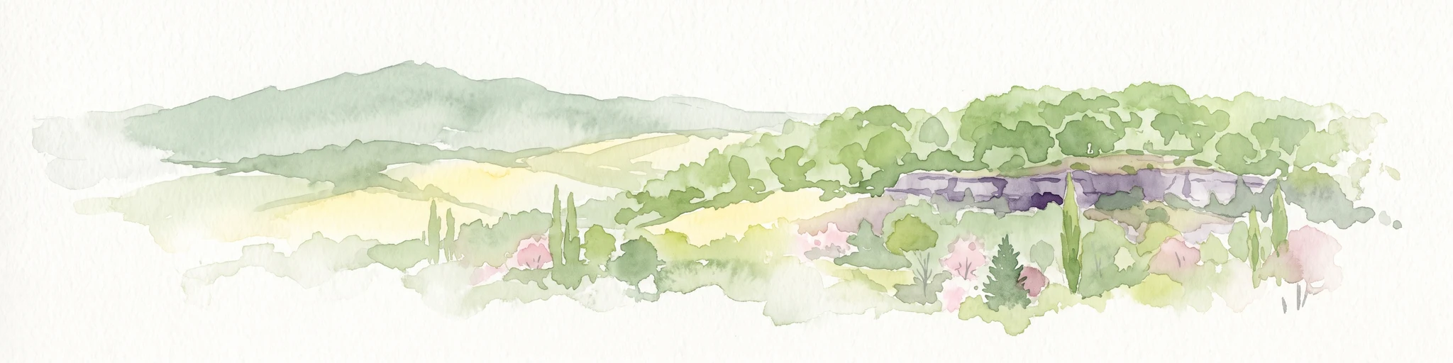
A horizontal watercolor painting depicting a soft, layered landscape with distant hills, gentle slopes, and clusters of evergreen trees in shades of green and purple.
Nature reserveBourgogne-Franche-Comté
About 43 km away#7 closest

Southwest

Réserve naturelle régionale des tourbières du bief du Nanchez: Protected Jura Mountain Peatlands

Mapping bog systems and wet grassland geography in Eastern France

Located in the Jura department, this regional nature reserve preserves forty-nine hectares of vital peatland, including diverse mire communities and forested slopes. The site provides a critical look at montane landscape restoration, documenting significant bog flora and complex hydrological patterns along the Combe du Nanchez valley floor.

Area
0.488 km²
Established
2021
IUCN
IV
Relief
Upland
A soft, horizontal watercolor painting depicting a winding river flowing through a lush, green landscape with distant hills and sparse trees.
Nature reserveVaud
About 46 km away#8 closest

South

Chanivaz, Delta de l’Aubonne: Geography, Map, and Protected Landscape Context

A rare glacial geotope and river delta on Lake Geneva.

Chanivaz, Delta de l’Aubonne provides a rich look at the alluvial fan of the River Aubonne. Explore its layered terrace terrain, protected reedbeds, and riparian forests in the canton of Vaud, representing one of the best-preserved natural river mouths remaining on the northern shore of Lake Geneva.

Area
3 km²
Established
2003
Relief
Lowland
Climate
Temperate

Common questions about visiting, size, designation, and location context for Réserve naturelle régionale des tourbières de Frasne-Bouverans

Réserve naturelle régionale des tourbières de Frasne-Bouverans FAQs for park facts, access, geography, and protected area context

Find quick answers about Réserve naturelle régionale des tourbières de Frasne-Bouverans, including protected-area facts, park geography, trail and visitor context, and how the park fits into its surrounding country and regional landscape.
MoriAtlas Explorer

Continue Your Protected Areas Search Across the Global Atlas

Deepen your exploration by continuing the structured search for national parks and protected areas worldwide. Utilize the comprehensive filtering capabilities to compare different conservation landscapes and refine your understanding of global park geography. Discover more about the distribution and characteristics of protected natural areas.

Global natural geography