

Named stones
Park geography
A comprehensive analysis of landscape features, administrative location, and land extent
Geography and Physical Boundaries of Riserva naturale speciale della Bessa in Biella
This geographic profile details the physical characteristics of Riserva naturale speciale della Bessa, located within the Piemonte region of Italy. The data covers its total recorded area of 7.341 square kilometers, alongside structural relationships with regional landmarks including the Viona stream, the Alps, and various named geological stone features.
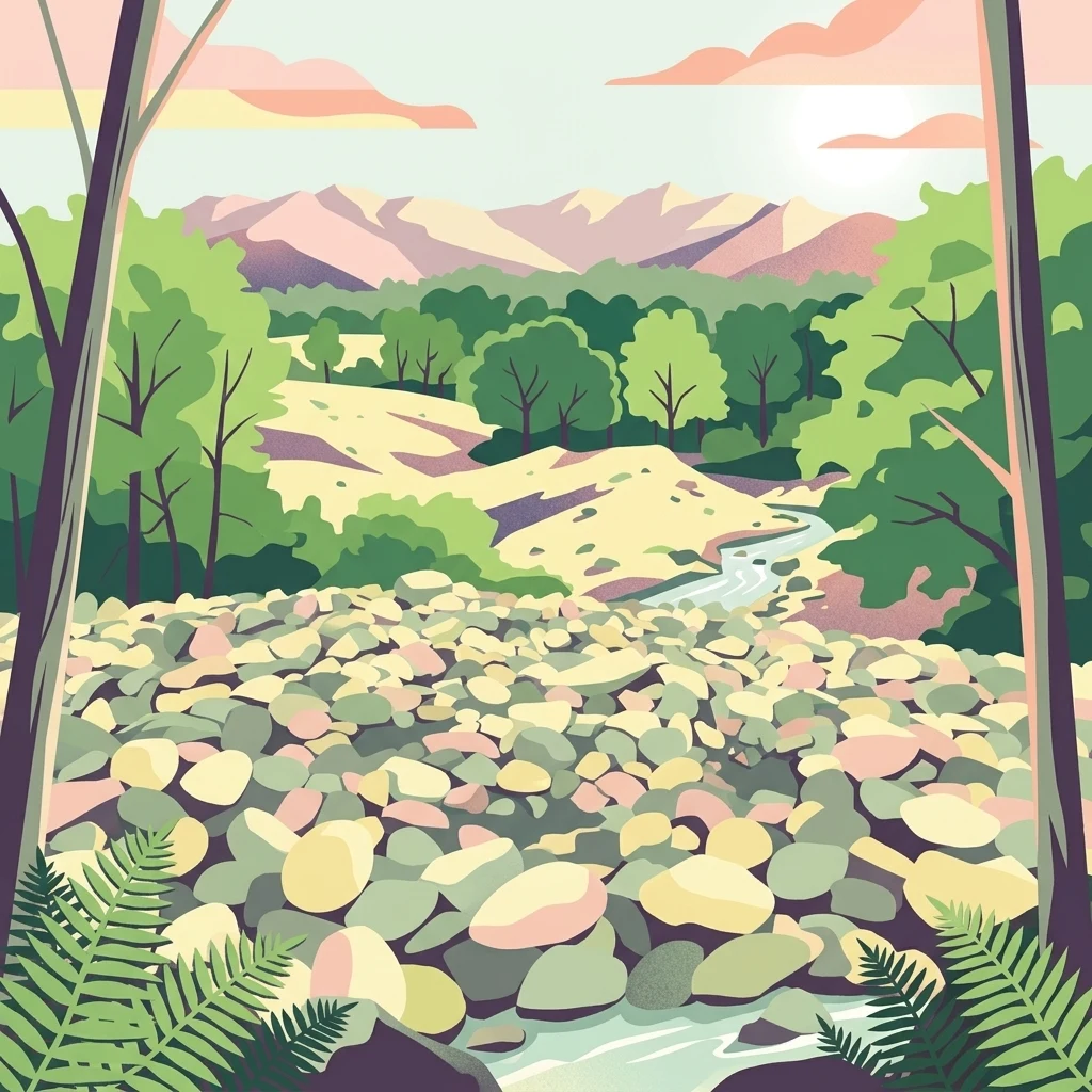
A Pleistocene plateau in northern Piedmont shaped by glaciers, Roman gold mining, and ancient stone.
Riserva naturale speciale della Bessa
The Riserva naturale speciale della Bessa is a small but historically distinctive protected area in northern Piedmont, Italy, lying at the foot of the southern slopes of the Biellese Alps and at the mouth of the Aosta Valley. Established in 2009 through a regional law, the reserve covers around 750 hectares across the municipalities of Borriana, Cerrione, Mongrando, and Zubiena, and is administered as part of the broader Biellese protected-area network managed by the Ticino and Lake Maggiore parks authority. Geologically, the reserve sits along the Biellese flank of the great Serra d'Ivrea moraine, one of the most extensive morainic amphitheaters in Europe. Its surface is an elongated plateau of glacial and fluvioglacial origin, crossed by deep erosional channels and strewn with rounded cobbles and large erratic boulders. Its landscape is austere and unusual for Piedmont: a stony, almost barren highland rather than the forested Alpine terrain typical of the region. Beyond its geological character, the Bessa is best known as the site of one of the most significant Roman gold mining operations in the Alps. Between the 2nd and 1st centuries BC, thousands of laborers worked the placer deposits left behind by Quaternary glaciers, and that working landscape of piled cobbles, terraced diggings, and prehistoric rock carvings remains the defining cultural and historical layer of the reserve today.
- Location
- Italy
- Park type
- Nature reserve
- Established
- 2009
- Area
- 7.5 km²
Location overview
Regional memberships and national location data for Italy
Riserva naturale speciale della Bessa Geographic Overview
Riserva naturale speciale della Bessa sits within the recorded regional territory of Piemonte and Biella in Italy. Recorded location memberships anchor the protected area within official national and regional boundaries.
- Countries
- Italy
- Regions
- Biella, Piemonte
- Primary location
- Biella
Boundary and coordinates
Interactive protected perimeter, coordinate spans, and area measurements
Riserva naturale speciale della Bessa Boundary Map and Spatial Extent
Mapped boundary geometry outlines the spatial footprint for spatial context analysis. Accompanying metrics detail the recorded area, coordinate limits, and geographic span without implying legal survey precision.
- Boundary area
- 7.3 km²
- Boundary perimeter
- 18.5 km
- Northernmost point
- 45.5144° N
- Southernmost point
- 45.47° N
- Easternmost point
- 8.0652° E
- Westernmost point
- 7.9851° E
- Geographic centre
- 45.4892° N, 8.0321° E
- North–south span
- 4.9 km
- East–west span
- 6.3 km
Terrain and natural features
Explore recorded geological formations, streams, and springs within the terrain
Terrain and Named Natural Features in Riserva naturale speciale della Bessa
Recorded natural features within Riserva naturale speciale della Bessa include stone formations, springs, and streams. Linked feature cards supply names, types, measurements, and spatial relationships where available.
Selected named natural features
Named stones
Masso del riparo
Peninsulas
Italian Peninsula
Named stones
Masso del campionario
Named stones
Masso dei granati
Natural springs
Fontana d'la Canàla
Environmental setting
Interpreting physical classifications and regional protected geography settings
Environmental Setting and Classification Profile for Riserva naturale speciale della Bessa
Recorded environmental categories provide structured interpretive contexts for reading the physical setting of Riserva naturale speciale della Bessa. Associated geographic data connects each classification framework directly to relevant protected area records.
Park atlas
Compare regional geography, glacial moraines, and adjacent protected areas across northern Piedmont.
Other Parks Near Riserva naturale speciale della Bessa and Surrounding Protected Landscapes
Continue exploring protected areas near Riserva naturale speciale della Bessa to compare regional topography and geological features. Analyzing adjacent reserves helps place distinctive glacial and archaeological landscapes into a broader geographical context.
Nature reservePiemonte
About 22 km away#1 closest
West

Riserva naturale dei Monti Pelati: A Protected Nature Reserve in Northern Italy
Geological landscape context and peridotite terrain in Piemonte.
Riserva naturale dei Monti Pelati is a vital protected area in Italy known for its unusual peridotite bedrock. This ridge provides a stark contrast to the nearby Ivrea Morainic Amphitheater, serving as an essential site for studying specialized flora and the geological history of the Western Alps in the Piedmont region.
- Area
- 1.46 km²
- Established
- 1993
- Relief
- Upland
- Climate
- Temperate
Nature reservePiemonte
About 28 km away#2 closest
East
Riserva naturale speciale dell'Isolone di Oldenico: Geography and Riverine Conservation Atlas
Protected riparian corridors in the Po Plain region of Northern Italy
This nature reserve preserves a distinct island feature formed by the Sesia river system. As a vital component of the lower Sesia valley network, the protected area contrasts sharply with the surrounding agricultural land by maintaining indigenous riverine vegetation, marshy habitat pockets, and natural levees within the flat terrain of the Province of Vercelli.
- Area
- 0.52 km²
- Established
- 1978
- IUCN
- IV
National parkItaly
32 km away#3 closest
West
Gran Paradiso National Park: Italy's National Park Protected Landscape Atlas
Mapped boundaries and regional geography for a key Italian protected area.
Gran Paradiso National Park is a distinct national park entity within Italy, offering rich potential for atlas-driven geographic discovery. This MoriAtlas profile focuses on its protected landscape identity, providing essential context for understanding its mapped boundaries and its role within the regional geography of Italy. Explore the structured geographic details that make Gran Paradiso National Park a valuable component of any mapped landscape analysis.
- Area
- 703 km²
- Established
- 1922
- IUCN
- II
- Relief
- Mountain
Nature reservePiemonte
About 39 km away#4 closest
Northeast
Riserva speciale del Sacro Monte di Varallo: Nature Reserve and Woodland Geography
Exploring the protected boundaries and forest terrain in Piemonte
Riserva speciale del Sacro Monte di Varallo is a compact nature reserve in the Piedmont region, distinguished by its Renaissance-inspired woodland and elevation above the Valsesia valley. This protected landscape combines ecological richness with historic chapel architecture, offering a study in the intersection of natural terrain, cultural heritage, and Alpine foothill geography.
- Area
- 0.217 km²
- Established
- 1990
- IUCN
- V
- Relief
- Upland
National parkPiedmont
59 km away#5 closest
Northeast
Val Grande National Park: National Park Protected Landscape in Piedmont
Explore its mapped boundaries and regional geographic context.
Val Grande National Park represents a key protected landscape within the Piedmont region of northwest Italy. This canonical page offers detailed insights into the park's designated status as a national park, its specific geographic placement, and its mapped protected boundaries. Users can navigate its atlas-level details to understand its role in the regional geography and conservation landscape, providing a structured foundation for further discovery of Italy's natural protected areas.
- Area
- 170.21 km²
- Established
- 1992
- IUCN
- II
- Relief
- Mountain
National parkSavoie
64 km away#6 closest
West

Vanoise National Park: Explore France's Original National Park in the Savoie Alps
Mapped Alpine geography, glacial terrain, and protected landscape.
Vanoise National Park is France's pioneering national park, a protected landscape of immense alpine beauty situated in the Savoie department. Renowned for its dramatic glacial terrain, over 100 peaks above 3,000 meters, and the iconic Alpine ibex, this park offers a profound geographic context. Explore its mapped boundaries and discover the unique atlas-level insights into France's mountainous protected areas and their ecological significance.
- Area
- 534 km²
- Established
- 1963
- IUCN
- II
- Relief
- Mountain
Nature reserveLombardia
About 94 km away#7 closest
East
Riserva naturale garzaia di Porta Chiossa: Protected Woodland and Heronry in Lombardia
Historic lowland forest and bird sanctuary geography
Located in the heart of the Po Plain, this nature reserve maintains an essential mosaic of wet woodland and riverine trees. Explore the boundaries of this ecological sanctuary, which remains one of the few surviving sections of the ancient Visconti hunting grounds, offering a unique window into the natural history of the Lombardy region.
- Area
- 0.8 km²
- Established
- 1984
- IUCN
- IV
Nature reserveValais
About 97 km away#8 closest
North

Aletschwald Nature Reserve: Geographic Insights and Protected Alpine Landscape Context
An ancient high-elevation forest ecosystem in the Swiss Valais.
Situated between 1,600 and 2,200 meters, Aletschwald represents one of the few remaining managed-free subalpine forests in the Alps. The reserve maps the interaction between glacial retreat and forest advancement, featuring a dense mosaic of Arolla pines, larch, and pioneer mosses across diverse lateral moraine formations.
- Area
- 4 km²
- Established
- 1933
- Relief
- Mountain
- Climate
- Alpine
MoriAtlas Explorer
Continue exploring the Riserva naturale speciale della Bessa landscape map
Dive into the detailed geography of this Italian nature reserve through our structured mapping of its glacial and archaeological features. Use this MoriAtlas resource to understand the distinct morainic plateau, erratic boulders, and the historical mining imprint that defines the Bessa landscape near Biella.
Browse next
Global natural geography
Explore related park routes
Explore MoriAtlas Global ParksBrowse All MoriAtlas ParksGlobal Park Map DiscoveryMoriAtlas: Browse All CountriesBrowse All MoriAtlas ContinentsNational Park Environment AtlasGrand Canyon National Park AtlasYellowstone National Park AtlasYosemite National Park Atlas and GeographySerengeti National Park AtlasGalápagos National Park Protected LandscapeBanff National Park Geography and AtlasKruger National Park Atlas EntryUluṟu-Kata Tjuṯa National Park AtlasExplore Uluru-Kata Tjuta National Park GeographyPlitvice Lakes National Park AtlasFiordland National Park Protected LandscapeGreat Smoky Mountains National Park AtlasAfghanistan National Parks and Protected AreasAlbania National Parks and Protected AreasAlgeria National Parks and Protected AreasAmerican Samoa National Parks and Protected AreasAndorra National Parks and Protected AreasAngola National Parks and Protected AreasAntarctica National Parks and Protected AreasAntigua and Barbuda Park List