National parkSamara Oblast

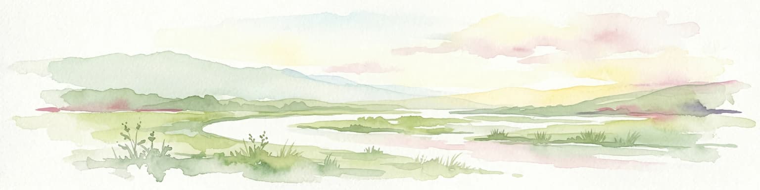
Samarskaya Luka National Park: National Park Geographic Discovery in Samara Oblast
Explore mapped protected landscapes and regional terrain.
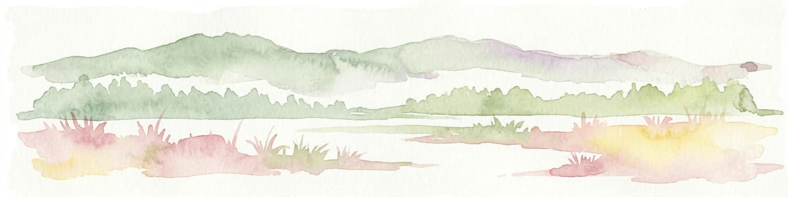
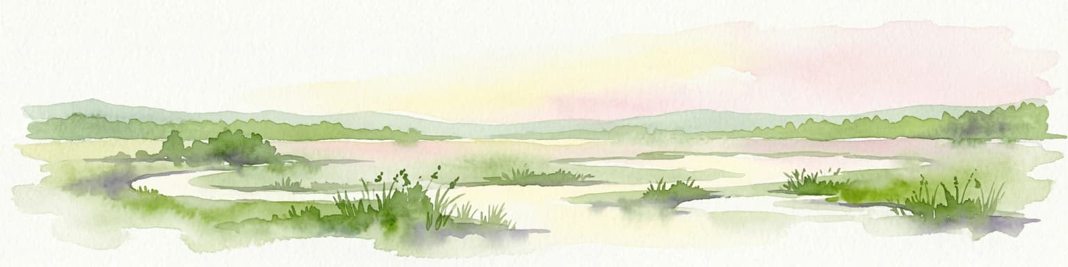
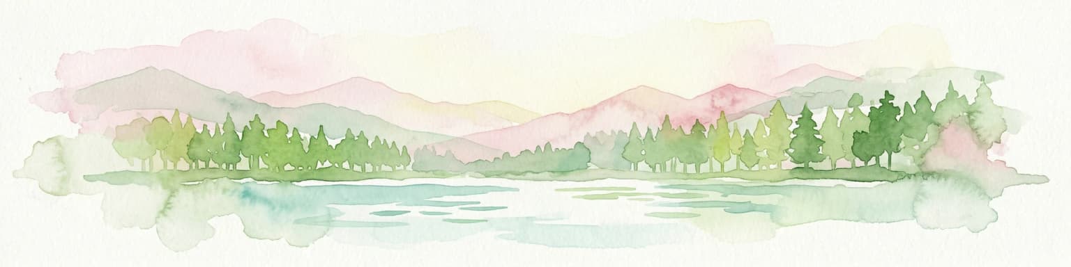
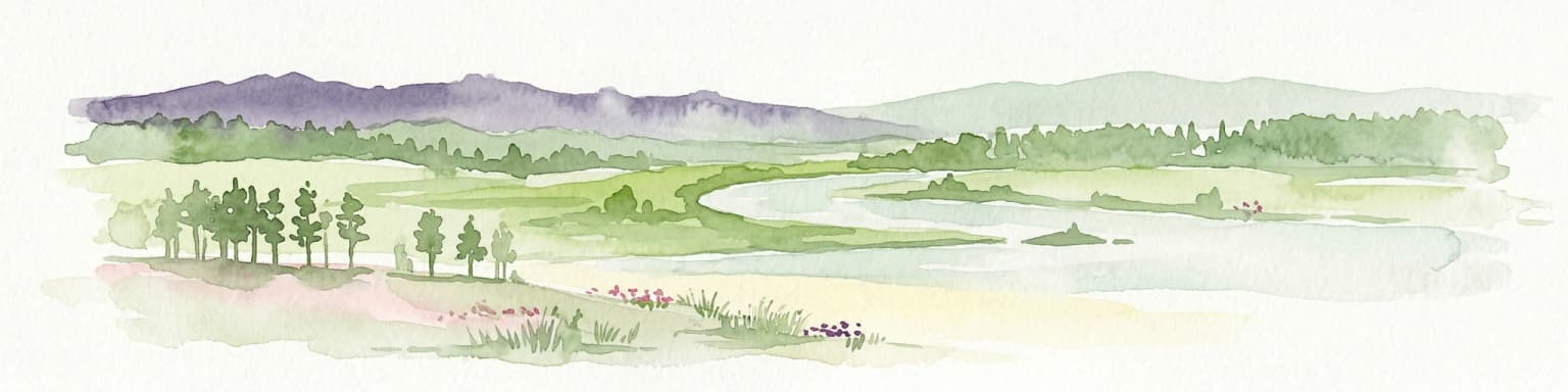
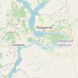
Samarskaya Luka National Park offers a focused lens for exploring protected natural areas, specifically detailing the geography and mapped boundaries of this Russian national park. Users can leverage this atlas-centric entry point to understand the park's landscape context within Samara Oblast. MoriAtlas provides a structured approach to discovering such protected lands, emphasizing their placement within regional geography and offering a rich foundation for mapped terrain exploration.
- Area
- 1,340 km²
- Established
- 1984
- IUCN
- II
- Relief
- Mixed relief