
Mori Atlas logo
National parkNechkinsky National Park

A study of the Kama River valley; wetlands; and forest-steppe terrain within this Russian protected area.

Nechkinsky National Park: Mapped Protected Landscapes and Geographic Features in the Udmurt Republic

(National Park «Nechkinsky»)

Nechkinsky National Park encompasses a diverse forested landscape across the middle valley of the Kama River in the Udmurt Republic. This protected territory features asymmetrical valley slopes; expansive floodplains; and wetland complexes that transition between taiga and mixed forest ecosystems. The area serves as a significant biological and archaeological reserve; tracing historical human settlement patterns and natural water corridors along the Votkinsk reservoir.

National ParksRussiaUdmurt RepublicRiver ValleysWetlandsMixed Forests
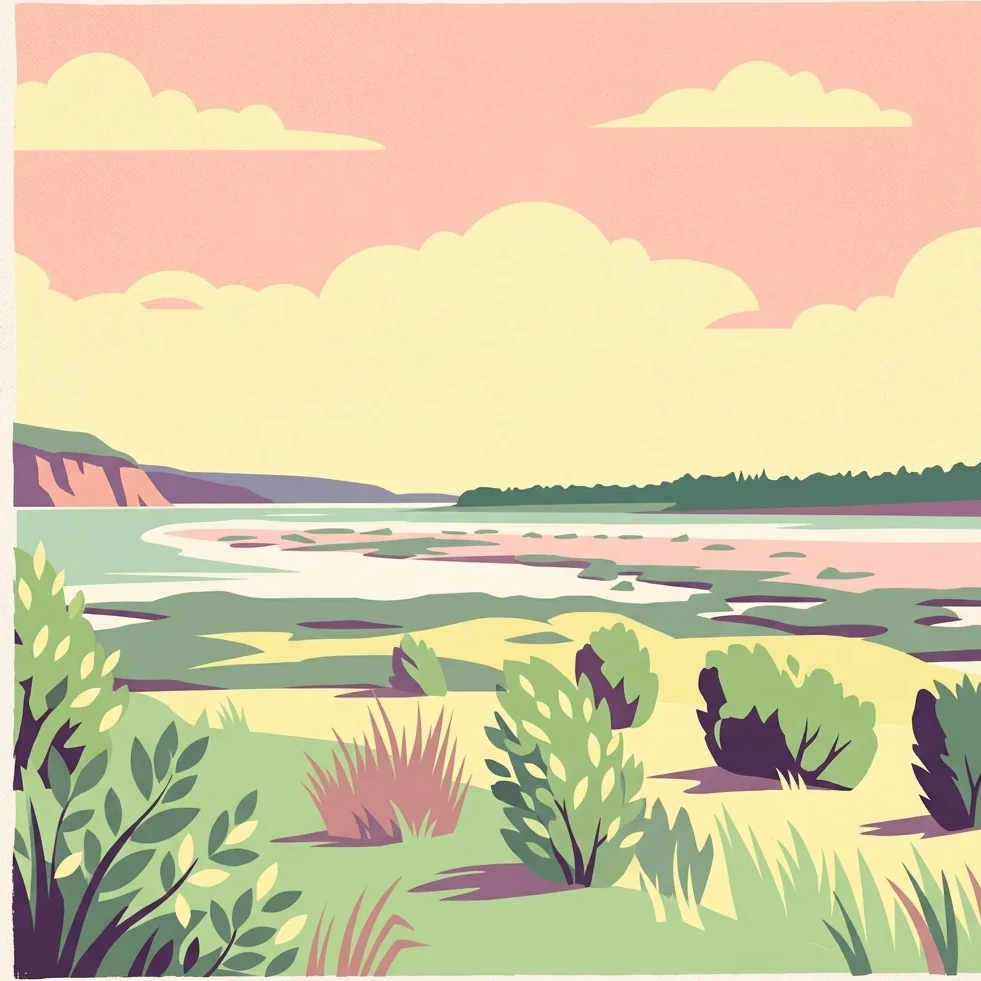
Stylized illustration of a river flowing through a floodplain with scattered bushes and trees under a pink sky

Nechkinsky National Park

National park

Park overview

Structured park overview, official facts, and landscape profile for Nechkinsky National Park

Nechkinsky National Park park facts, protected area profile, and essential visitor context

Review the core facts for Nechkinsky National Park, including designation, size, terrain, visitor scale, habitats, and operating context in one park-focused overview.

About Nechkinsky National Park

Nechkinsky National Park occupies a strategically important position in the central Volga-Ural region, protecting a segment of the Kama River valley and its tributary, the Siva River, along with the coastal zone of the Votkinsk reservoir. The park's landscape is defined by a forested valley system that descends 110 to 160 meters below the surrounding terrain, with a width ranging from 3 to 20 kilometers. This asymmetrical valley features a flat left bank and a steeply sloped right bank, creating diverse microhabitats within a relatively compact area. The Kama River at this location develops a wide floodplain with multiple fluvial terraces at elevated levels, adding to the topographic complexity. The park sits on the western side of the central Ural Mountains, placing it at an ecological transition zone between European and Siberian biomes. Beyond its natural values, the park contains numerous ancient archaeological sites that document thousands of years of human occupation in this river valley environment.

Quick facts and research context for Nechkinsky National Park

Nechkinsky National Park spans 20,753 hectares in the Udmurt Republic, Russia, along the middle Kama River valley and Siva River watershed. The terrain features an asymmetrical valley 110–160 meters deep and 3–20 kilometers wide, with a flat left bank and steep right bank. The park lies within the Sarmatic mixed forests ecoregion and experiences a humid continental climate with warm summers and cold, snowy winters. The protected area contains 712 vascular plant species representing 70% of Udmurtia's flora, and supports 50 mammal species, 191 bird species, and 37 fish species.

Protection and recognition

Examine the documented protection framework and conservation category records for Nechkinsky National Park.

Nechkinsky National Park Protection Status and Management Scope Facts

Nechkinsky National Park maintains a documented mixed protection status within regional conservation inventories. Official records assemble management frameworks and designated area criteria without external international recognition sources.

Protection details

Protection scope
Mixed
Transboundary protection
No
Park context

Deeper park guide and search-rich context for Nechkinsky National Park

Nechkinsky National Park history, landscape, wildlife, and travel context

Explore Nechkinsky National Park through its history, landscape character, ecosystems, wildlife, conservation priorities, cultural context, and seasonal travel timing in a structured park guide built for atlas discovery and search intent.

Why Nechkinsky National Park stands out

Nechkinsky National Park is best known for its combination of rich biodiversity and significant archaeological heritage within a diverse river valley landscape. The park protects important populations of rare species including the vulnerable Russian desman, an unusual semi-aquatic mammal historically trapped for its fur, as well as endangered waterfowl such as the red-breasted goose. The landscape features a distinctive asymmetrical valley with flat and steep banks, extensive floodplain wetlands including the Kemulskoye bog, and a transition zone between taiga, mixed forests, and steppe-forest ecosystems. The park also preserves ancient archaeological sites spanning from the 3rd millennium BCE through the Iron Age, associated with the Ananyino culture.
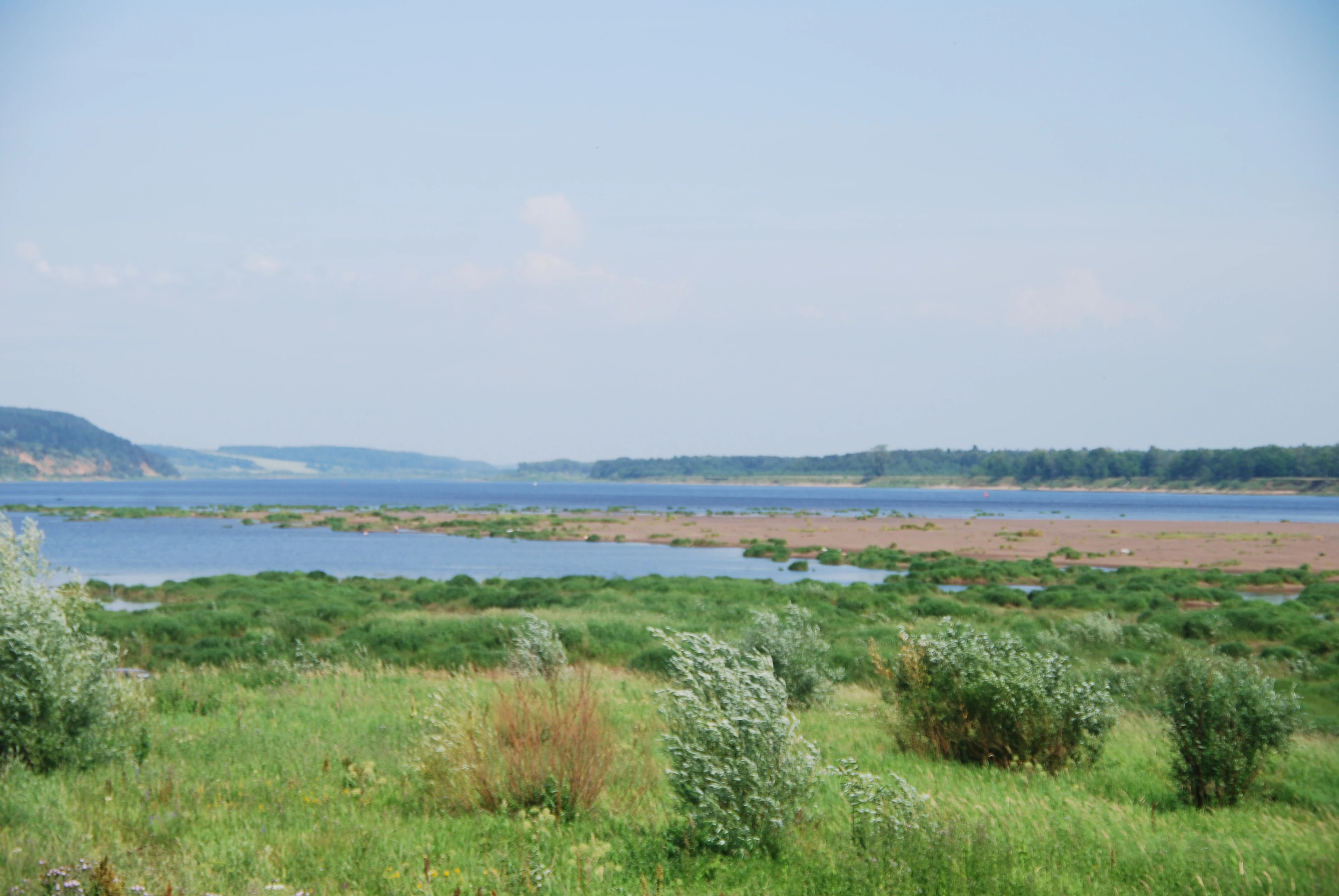
Wide landscape view of Kama River with green vegetation and distant hills under clear sky
Kama River flowing through Nechkinsky National Park floodplains

Nechkinsky National Park history and protected-area timeline

The history of human occupation in the Nechkinsky area stretches back to ancient times, with archaeological evidence of settlement by hunters and fishers dating to the 3rd and 2nd millennia BCE. The earliest clearly identifiable archaeological sites within the park are fortified Iron Age settlements from the first millennium BCE, associated with the Ananyino culture. This cultural group represented an early Finno-Ugric population that inhabited the river valleys of the eastern Volga region. Nechkinsky National Park was officially established on October 16, 1997, as a protected area combining natural and cultural heritage conservation objectives. The park was created to preserve the unique combination of biological diversity, landscape features, and archaeological heritage found in this section of the Kama River valley.

Nechkinsky National Park landscape and geographic character

The physical landscape of Nechkinsky National Park centers on the forested valley of the Siva River watershed, a tributary of the Kama River. The valley is distinctly asymmetrical, with the left bank presenting a relatively flat terrain and the right bank forming a steep hillside that rises prominently above the river corridor. The valley floor ranges from 3 to 20 kilometers in width and cuts 110 to 160 meters into the surrounding landscape. The Kama River within the park boundaries features a wide floodplain with several distinct fluvial terraces visible at higher elevations, indicating the river's historical meandering and avulsion patterns. The coastal area along the Votkinsk reservoir adds a large impounded water body to the park's hydrological character, creating additional habitat diversity along its shores.

Nechkinsky National Park ecosystems, habitats, and plant life

The ecological character of Nechkinsky reflects its position within the Sarmatic mixed forests ecoregion, a corridor of mixed coniferous and deciduous forest extending from the Baltic Sea eastward to the Ural Mountains. The park's forest communities represent a transition between taiga, mixed forest, and steppe-forest environments, creating a mosaic of habitat types. The lower elevations and depressions support oligotrophic and mesotrophic bogs, with the Kemulskoye bog covering approximately 2,000 hectares representing one of the most significant wetland complexes. Gully and depression environments contain Siberian spruce communities, while the valley slopes host pine forests with occurrences of silver fir and Siberian larch. The lower forest layers transition to broadleaf communities dominated by oak, with secondary growth of birch and aspen. The park records 712 species of vascular plants, representing approximately 70% of the entire flora documented in Udmurtia, indicating the region's ecological significance.

Nechkinsky National Park wildlife and species highlights

Nechkinsky National Park supports diverse animal communities across its terrestrial and aquatic habitats. Mammal populations include 50 species, with particular conservation significance attached to the Russian desman, a semi-aquatic insectivore that resembles a large mole or muskrat. This species was historically targeted by trapping for its valuable fur and now receives protected status due to its vulnerable population status. The park's avian fauna numbers 191 bird species, including the red-breasted goose, an endangered waterfowl species that uses the park's wetlands. Fish diversity includes 37 species, among them the sterlet, a type of Eurasian sturgeon classified as vulnerable. Additional invertebrate surveys have documented 33 mollusk species, 120 spider species, 600 beetle species, 500 butterfly species, and 25 dragonfly species, indicating rich invertebrate biodiversity.

Nechkinsky National Park conservation status and protection priorities

Nechkinsky National Park functions as an Important Bird Area and protects key habitat for several species of conservation concern. The park provides critical refuge for the vulnerable Russian desman, a species whose populations have declined due to historical fur trade pressure and habitat loss across its range. The wetlands and floodplains support endangered waterfowl including the red-breasted goose, while the riverine environments protect vulnerable fish species such as the sterlet. The park's vegetation communities represent a significant portion of Udmurtia's botanical diversity, with 712 vascular plant species documented, accounting for 70% of the republic's flora. The combination of old-growth forest, wetland complexes, and the Kama River floodplain creates a conservation landscape of regional importance within the broader Sarmatic mixed forests ecoregion.

Nechkinsky National Park cultural meaning and human context

The cultural heritage of Nechkinsky National Park is closely tied to the river valley setting that has supported human communities for millennia. Archaeological investigations have revealed evidence of settlement by ancient hunters and fishers dating to the 3rd and 2nd millennia BCE, representing some of the earliest documented human occupation in the region. The most significant archaeological sites within the park are fortified settlements from the Iron Age, associated with the Ananyino culture of the first millennium BCE. This cultural group was part of the Finno-Ugric peoples who inhabited the river valleys of the eastern Volga region, and their material culture represents an important component of the regional ethnographic landscape. The park preserves traces of these ancient communities alongside its natural values, creating a combined natural and cultural protected area.

Top sights and standout views in Nechkinsky National Park

Nechkinsky National Park offers visitors a combination of natural landscapes and cultural heritage within a compact protected area near Izhevsk. The valley landscape provides opportunities to observe the distinctive asymmetrical topography with flat and steep banks, while the Kama River floodplain and associated wetlands create diverse habitats. The park maintains educational ecological trails with guided interpretation, and a developed 25-kilometer hiking route called «Dear Ancestors» with rest areas and observation decks overlooking the reservoir. The archaeological heritage adds historical depth, with ancient settlement sites offering connection to prehistoric and Iron Age cultures of the Volga-Ural region.

Best time to visit Nechkinsky National Park

The optimal time to visit Nechkinsky National Park depends on seasonal conditions and visitor interests. Summer months offer warm temperatures averaging around 25°C in July, comfortable for hiking the park's trails and exploring the river valleys. The summer season allows full access to the educational trails and the 25-kilometer tourist route. Winter provides a different experience with cold, snowy conditions and the opportunity to use the park's two ski trails, though temperatures can drop significantly below freezing. Spring and autumn offer transitional periods with varying conditions. The park's humid continental climate means each season presents distinctly different landscape character, from snow-covered winter scenes to the lush green of summer and the color changes of autumn.

Monthly climate preview

Long term temperature averages and monthly precipitation records for Nechkinsky National Park

Nechkinsky National Park Climate Normals and Annual Weather Patterns

Representative coordinate data reveals a measured annual temperature range from deep winter minimums to warm summer maximums alongside consistent monthly precipitation distribution. Reviewing the complete twelve month climatology profile provides precise insight into long term environmental norms across the protected terrain.
Annual mean2 °C
-15 °C19 °C
Jan-15°
Feb-14°
Mar-6°
Apr
May12°
Jun17°
Jul19°
Aug16°
Sep11°
Oct
Nov-7°
Dec-14°
Warmest month
July

18.9 °C

Coolest month
January

-15.2 °C

Wettest month
June

2.5 mm/day

Driest month
February

1.2 mm/day

Park location guide

Geography guide, regional context, and park location map for Nechkinsky National Park

Nechkinsky National Park park geography, regions, and map view in Russia

Understand where Nechkinsky National Park sits in Russia through a broader geographic reading of the surrounding landscape, nearby location context, and its mapped position within the national park landscape.

How Nechkinsky National Park fits into Russia

Russia is a transcontinental nation spanning eleven time zones, bordered by fourteen countries. It is the world's largest country by area, covering 17,098,246 km². Moscow is the capital and largest city, while Saint Petersburg is the second-largest and a major cultural centre.

Wider geography shaping Nechkinsky National Park in Russia

Russia spans Eastern Europe and North Asia, covering 17,098,246 km². It shares land borders with fourteen countries, more than any other nation, and spans eleven time zones. The landscape includes vast plains, mountain ranges such as the Urals and Caucasus, and extensive coastlines along the Arctic Ocean, Pacific Ocean, Baltic Sea, Black Sea, and Caspian Sea.

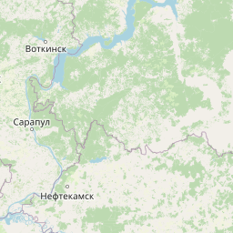
Map view of Nechkinsky National Park

Use this park location map to pinpoint Nechkinsky National Park in Russia, understand its exact geographic position, and read its mapped placement within the surrounding landscape more clearly.

Pigeon | © OpenStreetMap contributors

Location context for Nechkinsky National Park

Udmurt Republic

Explore photographic records of asymmetrical river valleys, wetland habitats, and protected landscapes.

Nechkinsky National Park Photos: Visualizing River Valleys and Forested Terrain

Visual documentation captures the forested terrain, asymmetrical valley slopes, and riparian habitats defining the protected landscape along the Kama River basin. Photographic archives provide essential reference material for studying local topography, wetland ecosystems, and regional conservation environments.

Wide landscape view of Kama River with green vegetation and distant hills under clear sky

Panoramic landscape view of Nechkinsky National Park with river valley, forested hills, and a church with blue domes under a partly cloudy sky

Park atlas

Compare surrounding river valley ecosystems and regional protected landscapes

Parks Near Nechkinsky National Park and Related Protected Areas

Continue exploring other parks near Nechkinsky National Park to examine similar river valley ecosystems and forest habitats across the surrounding region. Comparing adjacent protected areas provides broader geographic context for the wetland complexes and terrain features found throughout the western flank of the central Ural Mountains.
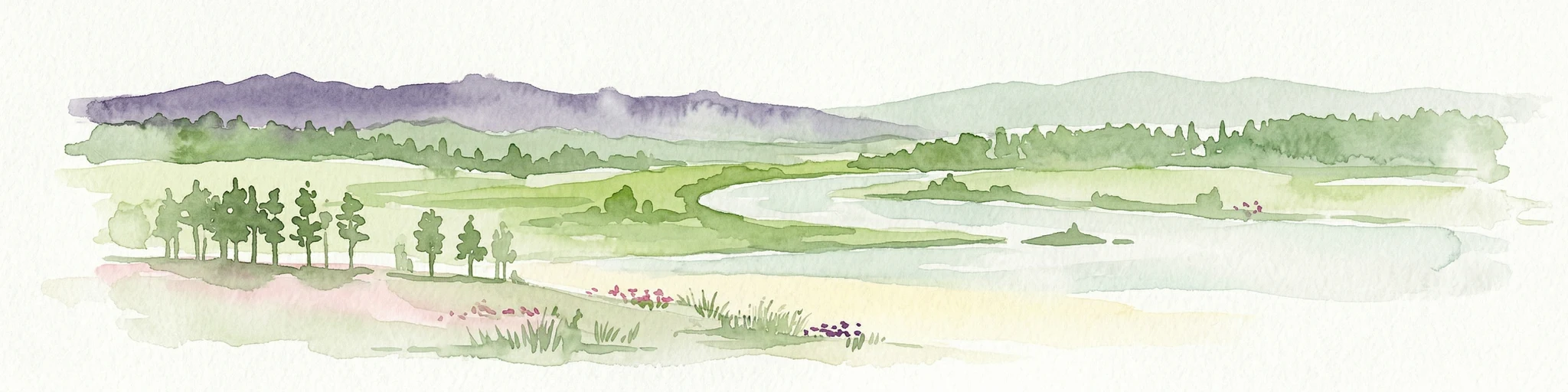
A soft watercolor painting of a serene river landscape with green hills, purple trees, and a lone bare tree by the water's edge.
National parkUdmurtia
Mapped location lies within the park boundary#1 closest

Northeast

Nechkinsky National Park: Protected Kama River Valley Geography and Landscape Atlas

Kama River valley protected areas and floodplain topography

Spanning the middle course of the Kama River and the Votkinsk Reservoir, Nechkinsky National Park protects a diverse mosaic of forest, wetland, and riverine habitats. The terrain features a sharp contrast between elevated forest slopes and flat alluvial floodplains, serving as a primary conservation landscape for the regional biodiversity of Udmurtia.

Area
207.52 km²
Established
1997
IUCN
II
Relief
Upland
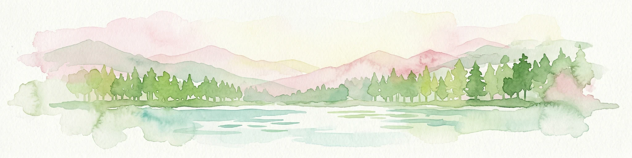
Watercolor painting of a winding river flowing through a lush, green valley with forested hills in the distance.
National parkTatarstan
About 126 km away#2 closest

Southwest

Nizhnyaya Kama National Park: Atlas of Tatarstan River Valley Landscapes

Examining protected forest and floodplain ecology

Nizhnyaya Kama National Park protects a significant portion of the lower Kama River valley, creating a sanctuary for diverse plant communities and wildlife. The landscape is marked by the interplay between aquatic habitats, expansive meadows, and dense upland forests, serving as a critical refuge within the industrial context of Tatarstan.

Area
266.01 km²
Established
1991
IUCN
II
Relief
Lowland
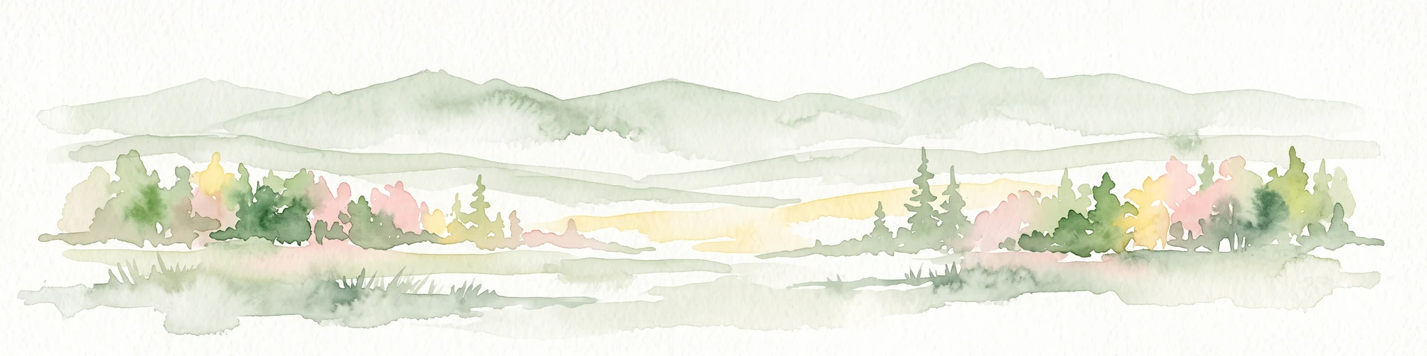
Watercolor illustration showing a river flowing through a valley with trees and distant mountains
National parkTatarstan
About 134 km away#3 closest

Southwest

Nizhnyaya Kama National Park: An Atlas of Protected Forests and Riverine Geography in Tatarstan

Examining boreal forest ecosystems along the Kama River corridor

Discover the geographic structure of Nizhnyaya Kama National Park, a protected region in Tatarstan featuring significant pine-dominated forests. This assessment details the park's isolated clusters, riverbank topography, and the ecological transition between elevated ravine systems and lowland wetlands within the Volga river basin.

Area
265.87 km²
Established
1991
IUCN
II
Relief
Lowland
A watercolor illustration showing a winding river flowing through a lush green landscape with rolling hills in the background.
National parkMari El
About 321 km away#4 closest

West

Mariy Chodra National Park: Regional Geography and Protected Forest Atlas

Mapped terrain, karst lake systems, and woodland corridors in Mari El

Deepen your understanding of Mariy Chodra National Park through its distinct geological and forest features. This overview examines the intersection of rolling upland blocks, sandy terrain, and the varied hydrology of the Ilet River drainage basin within the Volga region.

Area
366 km²
Established
1985
IUCN
II
Relief
Upland
Watercolor illustration showing a lake, forested hills, and mountains in the background
National parkRussia
About 342 km away#5 closest

West

Mariy Chodra National Park: Geographic and Protected Area Mapping for Russian Forests

Regional forest landscapes and protected Russian terrain

Mariy Chodra National Park is an essential protected natural area located in Russia, distinguished by its forest-dominated ecosystems. This entry provides detailed geographic context and boundary information for those studying the distribution of protected landscapes across the Russian Federation.

IUCN
II
Watercolor illustration of a mountain range with purple peaks, green hills, a single tall pine tree, and pinkish foreground vegetation
National parkChelyabinsk Oblast
About 379 km away#6 closest

Southeast

Zigalga National Park: Geography, Alpine Terrain, and Protected Wilderness Areas

A vital ecological corridor within the Chelyabinsk Oblast of Russia

Zigalga National Park serves as a pristine natural sanctuary at the crossroads of Europe and Siberia. The territory features steep mountainous ridges, expansive peat bogs, and vertical floral zonation that defines the Southern Ural landscape. This protected area provides a stable environment for rare boreal plant species and remains largely untouched by development, offering a valuable record of subarctic ecosystem health.

Area
457 km²
Established
2019
IUCN
II
Relief
Mountain
National parkChelyabinsk Oblast
About 381 km away#7 closest

Southeast

Zyuratkul National Park: Mapped Geography and Protected Landscapes of the Southern Urals

High-mountain lake terrain and diverse taiga forest ecosystems.

Zyuratkul National Park serves as a critical protected area in the Chelyabinsk Oblast, showcasing the meeting of Siberian and European ecosystems. The territory features a dramatic range of landforms including the high-mountain Lake Zyuratkul, alpine tundra on Nurgush ridge, and deep valleys containing ancient archaeological sites. This atlas entry provides a foundational view of the park's natural terrain, geographic features, and protected boundary structure.

Area
882.49 km²
Established
1993
IUCN
II
Relief
Mountain
National parkChelyabinsk Oblast
About 382 km away#8 closest

Southeast

Zigalga National Park: Mapped Geography and Protected Areas of the Southern Urals

Mountain forest and tundra ecosystems in Chelyabinsk Oblast

Spanning the rugged ridges of the Southern Urals, Zigalga National Park protects a distinct mosaic of dark coniferous forests and alpine-like golets tundra. This protected area plays a crucial role in regional hydrology and biodiversity, encompassing the headwaters of the Yuryuzan and Kutkurka rivers across a diverse elevational landscape.

Area
456.616 km²
Established
2019
IUCN
II
Relief
Mountain

Common questions about visiting, size, designation, and location context for Nechkinsky National Park

Nechkinsky National Park FAQs for park facts, access, geography, and protected area context

Find quick answers about Nechkinsky National Park, including protected-area facts, park geography, trail and visitor context, and how the park fits into its surrounding country and regional landscape.
MoriAtlas Explorer

Continue Your Protected Areas Search Across the Global Atlas

Deepen your exploration by continuing the structured search for national parks and protected areas worldwide. Utilize the comprehensive filtering capabilities to compare different conservation landscapes and refine your understanding of global park geography. Discover more about the distribution and characteristics of protected natural areas.

Global natural geography