Mori Atlas logo
Nearby park discovery

Regional geography and mapped landscapes in the vicinity of the park

National Parks and Protected Areas Situated Near Nechkinsky National Park

Examine the geographic distribution of protected natural areas surrounding Nechkinsky National Park within the Udmurt Republic. This regional map view reveals how nearby protected landscapes connect within the broader valley and river systems of the western Ural territory.

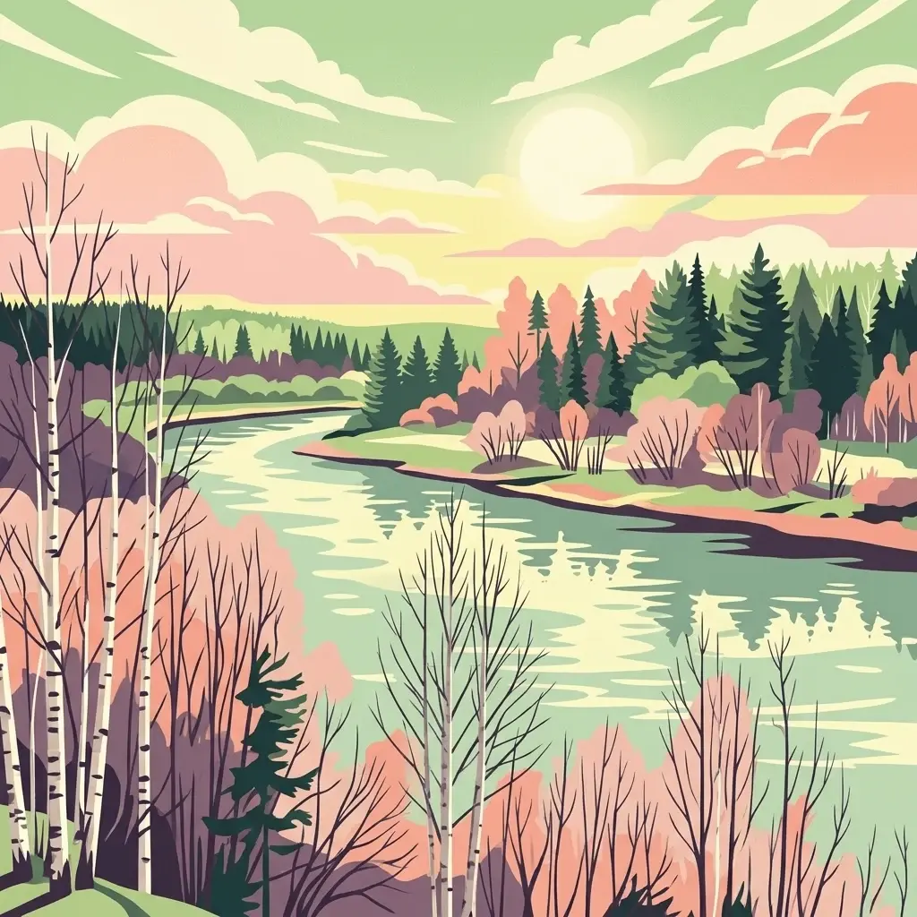
Stylized illustration of a river flowing through a floodplain with scattered bushes and trees under a pink sky

A forested river valley reserve protecting Udmurtia's cultural and ecological heritage

Nechkinsky National Park

Nechkinsky National Park is a protected natural area in the Udmurt Republic of western Russia, situated in the middle valley of the Kama River and its tributary, the Siva River, along the coastal zone of the Votkinsk reservoir. The park occupies a forested landscape on the western flank of the central Ural Mountains, encompassing approximately 20,753 hectares of diverse terrain including river floodplains, steep valley slopes, and wetland complexes. Established in October 1997, the park serves as an important biological and cultural reserve, protecting both significant natural ecosystems and a wealth of archaeological heritage spanning thousands of years of human occupation. The park is administered by FGBU Nechkinsky and is located near the city of Izhevsk.

Location
Russia
Park type
National park
Established
1997
Area
208 km²
Nechkinsky National Park Protected Area Atlas
Regional park map

See the ranked park cluster in its geographic setting

Nearby parks around Nechkinsky National Park

This regional map shows the same 11 nearby parks ranked below around Nechkinsky National Park. Select a ranked marker to highlight that park’s boundary where boundary data is available.
Reference park: Nechkinsky National ParkRanked nearby parkSelected boundary: Nechkinsky National Park11 nearby parks shown
11 nearby parks

Distance ranked collection and surrounding regional geography for comparative analysis

Parks and Protected Areas Geographically Near Nechkinsky National Park

Browse parks and protected areas located geographically near Nechkinsky National Park based on direct boundary measurements and directional separation. Compare surrounding landscapes and regional habitat patterns to understand broader conservation contexts across the territory.
Watercolor illustration showing a river flowing through a valley with trees and distant mountains
National parkTatarstan
About 134 km away#1 closest

Southwest

Nizhnyaya Kama National Park: An Atlas of Protected Forests and Riverine Geography in Tatarstan

Examining boreal forest ecosystems along the Kama River corridor

Discover the geographic structure of Nizhnyaya Kama National Park, a protected region in Tatarstan featuring significant pine-dominated forests. This assessment details the park's isolated clusters, riverbank topography, and the ecological transition between elevated ravine systems and lowland wetlands within the Volga river basin.

Area
265.87 km²
Established
1991
IUCN
II
Relief
Lowland
Watercolor illustration showing a lake, forested hills, and mountains in the background
National parkRussia
About 342 km away#2 closest

West

Mariy Chodra National Park: Geographic and Protected Area Mapping for Russian Forests

Regional forest landscapes and protected Russian terrain

Mariy Chodra National Park is an essential protected natural area located in Russia, distinguished by its forest-dominated ecosystems. This entry provides detailed geographic context and boundary information for those studying the distribution of protected landscapes across the Russian Federation.

Area
366 km²
Established
1985
IUCN
II
Relief
Upland
Watercolor illustration of a mountain range with purple peaks, green hills, a single tall pine tree, and pinkish foreground vegetation
National parkChelyabinsk Oblast
About 379 km away#3 closest

Southeast

Zigalga National Park: Geography, Alpine Terrain, and Protected Wilderness Areas

A vital ecological corridor within the Chelyabinsk Oblast of Russia

Zigalga National Park serves as a pristine natural sanctuary at the crossroads of Europe and Siberia. The territory features steep mountainous ridges, expansive peat bogs, and vertical floral zonation that defines the Southern Ural landscape. This protected area provides a stable environment for rare boreal plant species and remains largely untouched by development, offering a valuable record of subarctic ecosystem health.

Area
457 km²
Established
2019
IUCN
II
Relief
Mountain
Watercolor illustration depicting rolling hills, green forests, and distant mountains under a pale sky
National parkChelyabinsk Oblast
About 383 km away#4 closest

Southeast

Zyuratkul National Park: Geography, Alpine Lakes, and Mountain Range Maps

Protected mountain wilderness in Chelyabinsk Oblast, Russia

Analyze the protected geography of Zyuratkul National Park, home to the highest point in Chelyabinsk Oblast and a distinctive alpine lake basin. Explore the park boundaries and the vertical transition from dense forest to the craggy summits of the Nurgush and Zyuratkul mountain ranges.

Area
882.49 km²
Established
1993
IUCN
II
Relief
Mountain
Watercolor illustration of rolling hills, green forests, and distant mountains under a pale sky
National parkRussia
About 410 km away#5 closest

East

Taganay National Park: Protected Landscape and Regional Geography Explorer

Explore mapped protected areas and natural landscapes.

Taganay National Park stands as a key protected area within Russia, offering unique geographic features and a distinct regional landscape identity. This entry serves as a gateway to understanding the park's role as a national park, providing context for its mapped boundaries and environmental setting. Utilize this resource for structured discovery of protected lands and their place within the broader atlas of natural geographies.

IUCN
II
Scope
Terrestrial
An illustration featuring a river flowing through a lush, colorful forest at sunset with birch trees in the foreground and pine trees in the distance.
National parkKomi Republic
About 418 km away#6 closest

Northwest

Koygorodsky National Park: Protected Landscape Exploration and Regional Geography

Mapped boundaries and natural landscape context.

Gain a structured understanding of Koygorodsky National Park, a designated national park within the Komi Republic. This entry facilitates exploration of its protected landscape, mapped geographic features, and its role within the broader regional atlas. Focus on the park's identity as a distinct protected area and its contribution to understanding Russian natural geography through detailed, map-centric data.

Area
567 km²
Established
2019
IUCN
II
Relief
Lowland
A horizontal watercolor illustration depicting a line of evergreen trees along a shoreline with rolling hills in the background.
National parkRussia
About 424 km away#7 closest

South

Buzuluksky Bor National Park: Mapping an Isolated Forest in the Russian Steppe

Examining the unique geomorphology and forest-steppe ecological boundaries.

Buzuluksky Bor National Park serves as an extraordinary natural laboratory in Russia, defined by its 106,000 hectares of pine forest set against a backdrop of open grasslands. This protected area features deep sandy substrates of marine origin, undulating dune landscapes, and the deeply incised Borovka River valley, providing a vital study site for forest-steppe dynamics and long-term conservation research.

Area
1,060 km²
Established
2007
IUCN
II
Relief
Lowland
Watercolor illustration of a river flowing through a valley with green hills and scattered trees in the background
National parkSamara Oblast
About 434 km away#8 closest

Southwest

Samarskaya Luka National Park: Mapped Geography and Protected Area Landscape Context

An atlas-focused overview of the Zhiguli Mountains and Volga River meander.

Samarskaya Luka National Park covers 134,000 hectares of diverse terrain in Samara Oblast. This overview examines the protected area's karst limestone uplands, dense forests, and river floodplains. Access map-integrated data on the Volga River bend and the unique geological formations defining this regional ecosystem.

Area
1,340 km²
Established
1984
IUCN
II
Relief
Mixed relief
Watercolor painting showing a scenic landscape with mountains, a river, and trees
National parkBashkortostan
About 441 km away#9 closest

Southeast

Bashkiriya National Park: Mapping Karst Landscapes and Ural Forest Geography

Exploring protected terrain in the Bashkortostan region

Bashkiriya National Park anchors a critical conservation area along the southern Ural Mountains, characterized by its deep canyons, limestone grottoes, and vast subterranean cave networks. The park serves as a bridge for biodiversity at the continental edge, where river-carved valleys and dense taiga forests create a distinct, protected landscape for regional research and geographic study.

Area
920 km²
Established
1986
IUCN
II
Visitors
30K annual
Watercolor painting of a meadow with wildflowers and rolling hills under a soft sky
National parkRussia
About 454 km away#10 closest

Southwest

Sengileevskie Mountains National Park: National Park Protected Area and Mapped Landscape Context

Explore protected boundaries and regional geography.

Uncover the geographic specifics of Sengileevskie Mountains National Park, a designated national park. This entry provides detailed insights into its protected area status, mapped landscape features, and regional context, serving as a foundational element for atlas-based exploration and understanding of Russia's conservation areas.

IUCN
II
Protected areaRussia
About 457 km away#11 closest

Southwest

Chuvash Forest Protected Area: Explore Russian Volga Region's Mixed Woodland Ecosystems

Discover mapped boundaries and regional landscape context.

Chuvash Forest stands as a protected area defined by its mixed woodland ecosystems within Russia's Volga region. This entry provides detailed geographic context, highlighting the park's mapped boundaries and its role as a distinct natural landscape. It serves as an essential point for understanding the environmental character and regional significance of protected lands in Eastern Europe, aiding structured atlas exploration of Russia's natural geography.

IUCN
II
Climate
Temperate
Access
Access unknown
Scope
Terrestrial
Distance methodology

Geographic measurements, not driving distances

How nearby park distances are calculated

Distances use park boundaries whenever the available geometry allows it. When one or both boundaries are missing, the mapped park locations provide a clearly labelled estimate. Every value represents straight-line geographic separation and does not use roads or routing.

Boundary distance

Calculated between the nearest points of both park boundaries.

Location-to-boundary estimate

Estimated from one mapped park location to the nearest boundary of the other park.

Mapped-location estimate

Estimated between the mapped locations of both parks.

MoriAtlas Explorer

Explore the Geographic Boundaries and Terrain of Nechkinsky National Park

Deepen your understanding of the Udmurt Republic by examining the river valley landscapes and protected ecosystems within Nechkinsky National Park. Use this MoriAtlas entry to trace the fluvial terraces and wetland formations that define this significant Russian conservation zone.