Mori Atlas logo
National parkZyuratkul National Park

Understand the mapped boundaries and geographic context of this protected natural area.

Zyuratkul National Park: A Protected Landscape in Russia's Chelyabinsk Oblast

Zyuratkul National Park stands as a significant protected area within the Chelyabinsk Oblast, Russia. This atlas-focused entry provides essential geographic context for understanding its mapped boundaries and role as a national park. Explore how Zyuratkul National Park contributes to the regional geography of the Southern Urals, offering a dedicated space for discovering its natural landscape.

Alpine LakesMountain RangesSouthern UralsProtected ForestsNational ParksChelyabinsk Oblast

Zyuratkul National Park

National park

Park overview

Structured park overview, official facts, and landscape profile for Zyuratkul National Park

Zyuratkul National Park park facts, protected area profile, and essential visitor context
Review the core facts for Zyuratkul National Park, including designation, size, terrain, visitor scale, habitats, and operating context in one park-focused overview.

About Zyuratkul National Park

Zyuratkul National Park protects a distinctive corner of the southern Urals, where mountainous terrain meets the northern edge of the steppe zone. The park's establishment in 1993 reflected growing recognition of the Urals' ecological value beyond their industrial reputation, preserving a landscape that combines dramatic relief with biological diversity. The park's terrain features multiple mountain ranges with peaks exceeding 1,000 meters, creating a varied topography of rocky ridges, forested valleys, and open alpine meadows. The climate of the region produces distinct seasonal changes, with snowy winters and warm summers that support diverse plant communities across elevation zones. Visitors to the park experience a landscape that differs markedly from the more famous western Russian protected areas, offering a window into the natural character of this geologically complex mountain system that divides Europe and Asia.

Quick facts and research context for Zyuratkul National Park

Zyuratkul National Park occupies 882.49 square kilometers in the southern Urals, established in 1993 to protect the region's unique alpine and lake ecosystems. The park's signature feature is Zyuratkul lake, covering 13.2 square kilometers with a maximum depth of 8 meters and slightly mineralized water. The park contains several notable mountain ranges, including the Zyuratkul range reaching 1,175 meters and the Nurgush range, which at 1,406 meters constitutes the highest point in Chelyabinsk Oblast. The area is classified as IUCN Category II for national park protection.

Park context

Deeper park guide and search-rich context for Zyuratkul National Park

Zyuratkul National Park history, landscape, wildlife, and travel context
Explore Zyuratkul National Park through its history, landscape character, ecosystems, wildlife, conservation priorities, cultural context, and seasonal travel timing in a structured park guide built for atlas discovery and search intent.

Why Zyuratkul National Park stands out

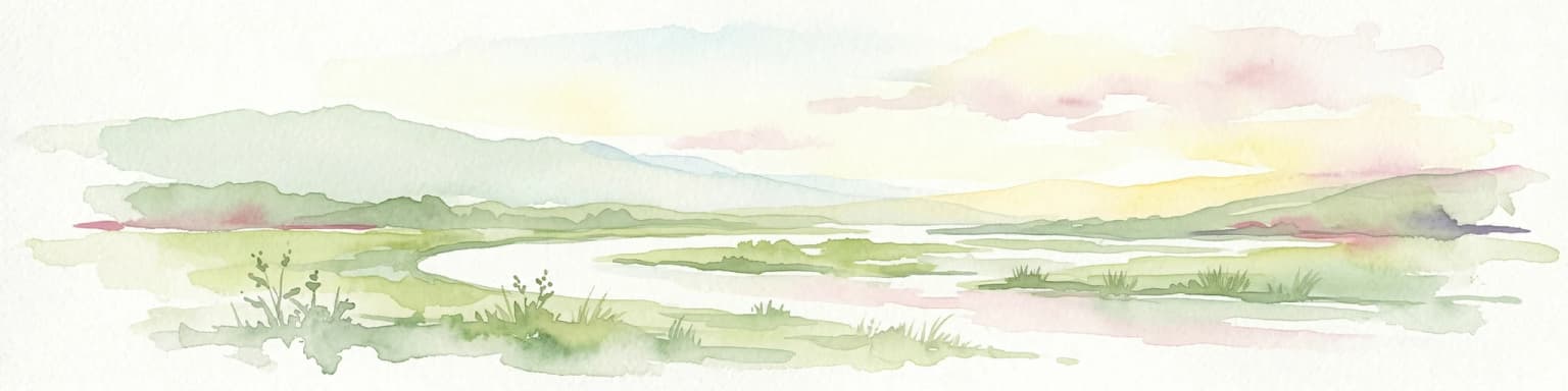
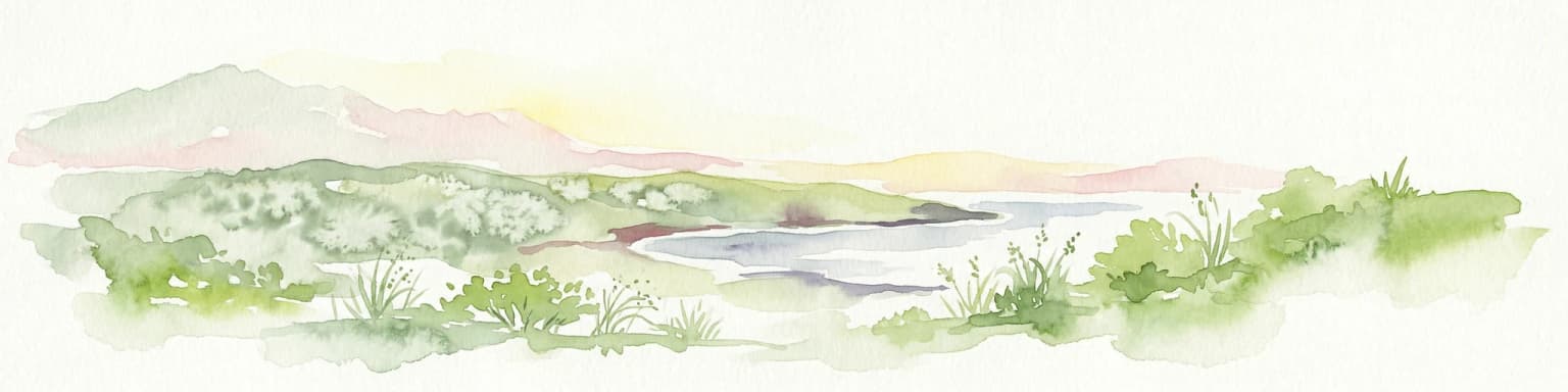
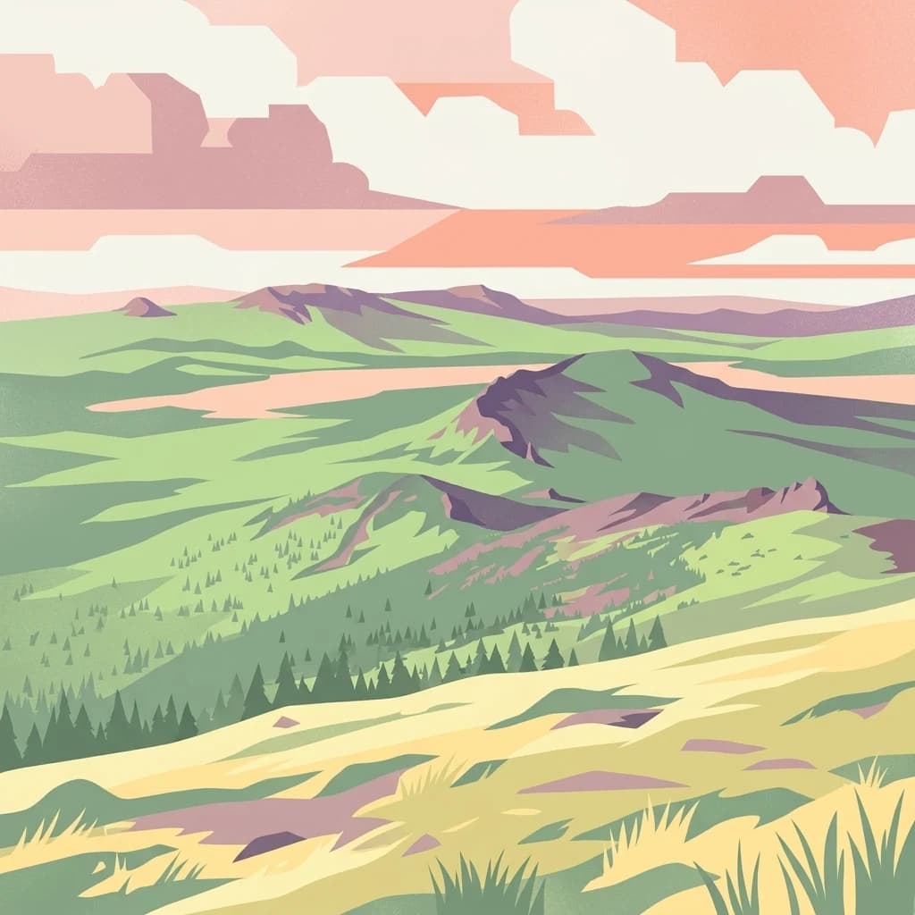
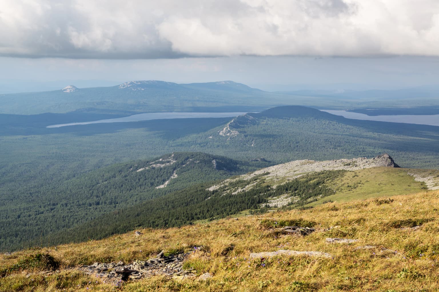
Zyuratkul National Park is best known for its pristine alpine lake, one of the few mountainous bodies of water in the Urals, set within a dramatic landscape of forested slopes and bare peaks. The lake's exceptional clarity, combined with the surrounding mountain ranges creating a striking visual backdrop, makes it the park's centerpiece and a preferred destination for nature lovers seeking the distinctive character of Ural landscapes. The Nurgush mountain range within the park holds particular significance as the highest terrain in Chelyabinsk Oblast, offering panoramic views across the protected area.

Zyuratkul National Park history and protected-area timeline

Zyuratkul National Park was established in 1993 as part of Russia's expanding network of protected areas following the dissolution of the Soviet Union. The creation of the park reflected both scientific recognition of the Urals' ecological importance and growing public interest in preserving representative examples of the region's natural landscapes. The park was designated under Russian federal law as a national park, receiving IUCN Category II status that recognizes its primary purpose of protecting natural ecosystems while permitting sustainable recreation and environmental education. The selection of this particular area for protection highlighted the significance of Zyuratkul lake as a natural feature of regional importance, with its unusual combination of altitude, clarity, and mountain setting rare within the Urals system.

Zyuratkul National Park landscape and geographic character

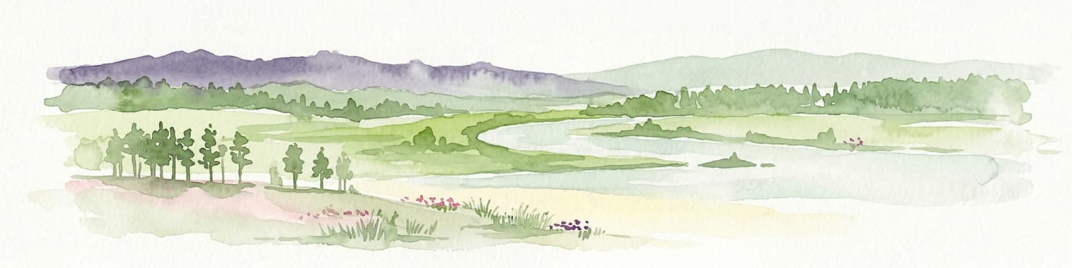
The landscape of Zyuratkul National Park is defined by its mountainous character and the presence of its central lake. The Zyuratkul range extends approximately 8 kilometers within the park, with peaks reaching 1,175 meters and creating a dramatic backdrop to the lake's surface. More prominent is the Nurgush range, which forms the park's highest terrain at 1,406 meters and represents the summit of Chelyabinsk Oblast. Between these ranges, the terrain descends through forested slopes of pine and birch before opening into the lake basin. The lake itself occupies a depression at 754 meters elevation, its 13.2 square kilometer surface reflecting the surrounding peaks in calm weather. The water's slight mineralization, approximately 50 milligrams per liter, distinguishes it from more dilute mountain lakes and contributes to its remarkable clarity. The combination of water, forest, and alpine terrain creates visual variety within a compact area.

Zyuratkul National Park ecosystems, habitats, and plant life

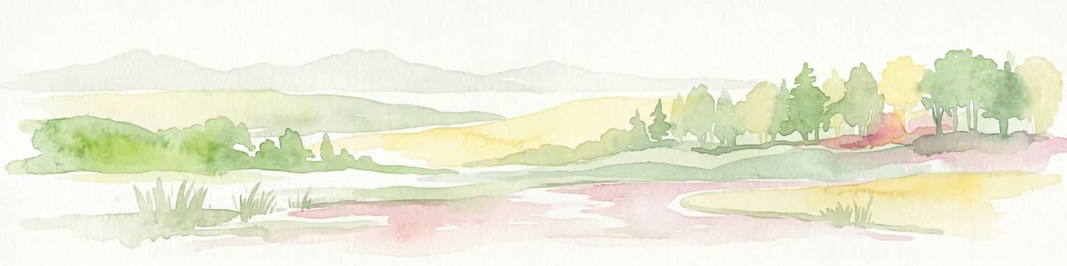
The nature of Zyuratkul National Park reflects the transitional position of the southern Urals between northern forest and southern steppe zones. The park's elevational range supports distinct vegetation zones, with coniferous forest dominating lower slopes and giving way to birch woodland and alpine meadows at higher elevations. The lake and surrounding wetland areas provide habitat for waterfowl and aquatic species, while the rocky ridges offer conditions for specialized mountain flora. The protected status of the area helps maintain ecological connections across the mountain landscape, preserving habitat for species that depend on the intact nature of this Ural environment. Water quality in Zyuratkul lake remains a notable characteristic, with its clarity and moderate mineralization supporting a distinct aquatic ecosystem.

Zyuratkul National Park wildlife and species highlights

The wildlife of Zyuratkul National Park reflects the southern Urals' position as a boundary between European and Asian faunal provinces. The forest habitats support populations of typical Ural species including various small mammals, birds, and the species that characterize the region's wooded landscapes. The mountain ridges and open areas provide conditions for species adapted to more alpine conditions. The lake attracts waterfowl and supports aquatic biodiversity within its clear, slightly mineralized waters. While specific species inventories from the source are limited, the protected area serves to maintain ecological processes across a landscape that has experienced varying degrees of human activity in the surrounding region.

Zyuratkul National Park conservation status and protection priorities

Zyuratkul National Park represents protected area designation in a region where industrial development has altered much of the southern Urals landscape. The park's protection preserves remaining natural habitats and maintains ecological processes in an area of regional ecological significance. The lake and its catchment receive protection from the national park framework, ensuring that the water quality and ecosystem integrity that define the park's character are maintained. The designation as a Category II protected area reflects international recognition of the park's purpose in preserving natural ecosystems while allowing compatible uses. This protection extends across the diverse terrain from lake to mountain peaks, creating a coherent conservation unit within Chelyabinsk Oblast.

Zyuratkul National Park cultural meaning and human context

The southern Urals region has a long history of human settlement and resource use, with the town of Satka and the broader Chelyabinsk area having developed around mining and industry. The park area itself maintains relatively intact natural landscapes despite this regional context, with the protected status helping to preserve the area's character against pressures that have affected surrounding territories. The Russian name Зюраткуль reflects the local heritage of naming and connection to this landscape. The park provides opportunities for recreation and environmental understanding that connect visitors with the natural character of the Urals.

Top sights and standout views in Zyuratkul National Park

The centerpiece of Zyuratkul National Park remains its namesake lake, one of the highest and clearest mountain lakes in the Urals, often compared to the renowned Lake Ritsa of the Caucasus. The Nurgush range offers the unique opportunity to reach the highest point in Chelyabinsk Oblast, with views extending across the protected landscape. The combination of accessible alpine terrain, a pristine lake, and the transition between forest and mountain ecosystems makes the park a distinctive destination within the Urals system. The relatively compact nature of the scenic core allows visitors to experience the park's key features without extensive backcountry travel.

Best time to visit Zyuratkul National Park

The optimal time to visit Zyuratkul National Park corresponds with the warmer months of the Russian summer, when the lake is accessible and the mountain terrain can be explored comfortably. Summer brings the clearest weather for viewing the lake's characteristic clarity and the surrounding peaks, with temperatures suitable for hiking and outdoor activities. The winter season transforms the landscape but brings more challenging conditions for access and exploration. Spring and autumn offer transitional experiences, though spring may involve muddy conditions while autumn weather becomes increasingly variable. The lake's elevation of 754 meters means it experiences the continental climate of the southern Urals, with warm summers and cold winters.

Park location guide

Geography guide, regional context, and park location map for Zyuratkul National Park

Zyuratkul National Park park geography, regions, and map view in Russia
Understand where Zyuratkul National Park sits in Russia through a broader geographic reading of the surrounding landscape, nearby location context, and its mapped position within the national park landscape.

How Zyuratkul National Park fits into Russia

Russia is a transcontinental nation spanning eleven time zones, bordered by fourteen countries. It is the world's largest country by area, covering 17,098,246 km². Moscow is the capital and largest city, while Saint Petersburg is the second-largest and a major cultural centre.

Wider geography shaping Zyuratkul National Park in Russia

Russia spans Eastern Europe and North Asia, covering 17,098,246 km². It shares land borders with fourteen countries, more than any other nation, and spans eleven time zones. The landscape includes vast plains, mountain ranges such as the Urals and Caucasus, and extensive coastlines along the Arctic Ocean, Pacific Ocean, Baltic Sea, Black Sea, and Caspian Sea.

Map view of Zyuratkul National Park

Use this park location map to pinpoint Zyuratkul National Park in Russia, understand its exact geographic position, and read its mapped placement within the surrounding landscape more clearly.

Pigeon | © OpenStreetMap contributors

Location context for Zyuratkul National Park

Chelyabinsk Oblast
Park atlas

Explore the Varied Protected Landscapes within Chelyabinsk Oblast and the Broader Southern Urals Region

Discover National Parks and Protected Areas Near Zyuratkul in the Southern Urals
After exploring Zyuratkul National Park, you can browse a curated selection of other national parks and protected areas across the Southern Urals and Chelyabinsk Oblast. Comparing these conservation landscapes provides deeper geographic context, revealing how diverse mountain ranges, alpine lakes, and forested terrain are protected throughout the region.
Watercolor illustration of a mountain range with purple peaks, green hills, a single tall pine tree, and pinkish foreground vegetation
National parkChelyabinsk Oblast

Zigalga National Park: National Park within Chelyabinsk Oblast's Southern Urals Geography

Mapped protected landscape and regional geographic context for atlas discovery.

Zigalga National Park offers a specific focus for exploring protected natural areas in Russia's Chelyabinsk Oblast. This page provides essential geographic data, detailing the park's mapped boundaries and its position within the Southern Urals region. Understand the park's unique protected landscape identity and its contribution to the atlas of Russian natural areas, fostering detailed map-based exploration and regional geographic understanding.

Area
457 km²
Established
2019
IUCN
II
National parkBashkortostan

Bashkiriya National Park: Karst Geography and Protected Ural Forest Landscape

Explore Ural Mountains national park mapped boundaries and terrain.

Delve into the geography and protected landscape of Bashkiriya National Park, a significant national park within Russia's Bashkortostan region. This detailed page highlights its striking karst topography, extensive cave systems, and over 92 percent forest cover across the southern Ural Mountains. Understand the park's role as a conservation buffer zone and its unique position at the Europe-Asia biogeographical boundary through structured geographic data and mapped context.

Area
920 km²
Established
1986
IUCN
II
Relief
Mixed relief
National parkUdmurt Republic

Nechkinsky National Park: Protected River Valley Landscape and Archaeological Heritage

Explore Udmurt Republic's National Park Geography and Terrain

Nechkinsky National Park, situated in the Udmurt Republic, is a vital protected area distinguished by its prominent river valley landscape. The park's geography features a stark contrast between steep right-bank slopes and a wide, flat left-bank floodplain, bordered by the Votkinsk reservoir. This unique terrain supports diverse ecosystems and preserves thousands of years of archaeological heritage, making it a focal point for understanding the region's natural and cultural map.

Area
208 km²
Established
1997
IUCN
II
National parkSverdlovsk Oblast

Pripyshminskiye Bory National Park: Explore its Protected Landscape and Geographic Setting

National Park with mapped boundaries in Sverdlovsk Oblast.

Pripyshminskiye Bory National Park stands as a notable protected area within the vast geography of Sverdlovsk Oblast, Russia. This page serves as a dedicated atlas entry for the park, detailing its protected landscape identity and its placement within the broader regional context. Users can investigate the park's mapped boundaries and understand its significance as a distinct national park, facilitating structured geographic discovery.

Area
490 km²
Established
1993
IUCN
II
Relief
Lowland
National parkTatarstan

Nizhnyaya Kama National Park: Protected Area and Geographic Context in Tatarstan

Discover mapped boundaries and regional landscape insights.

Nizhnyaya Kama National Park serves as a distinct protected area within the republic of Tatarstan, Russia. This detail page provides essential geographic context and map-oriented information, focusing on the park's boundaries and its contribution to the regional landscape. It is designed for users seeking structured data on protected lands, offering a factual entry point for understanding this Russian national park within a broader atlas framework.

Area
265.87 km²
Established
1991
IUCN
II
Relief
Lowland
National park

Buzuluksky Bor National Park: An Atlas of Russia's Largest Isolated Pine Forest Ecosystem

Explore mapped boundaries and regional geographic context.

Delve into the protected landscape of Buzuluksky Bor National Park, a significant national park in European Russia. This page provides detailed atlas-level insight into its unique formation as the world's largest isolated pine forest, situated atop deep sandy plains and surrounded by steppe. Understand its geographic setting, the ancient dune geology, and the ecological significance of this remarkable natural reserve.

Area
1,060 km²
Established
2007
IUCN
II
Relief
Lowland
Watercolor illustration of a landscape with green hills, a body of water, and grassy foreground under a pink-hued sky
National parkAqmola Region

Kokshetau National Park: A Protected Granite Mountain and Forest-Steppe Landscape in Kazakhstan

Explore Aqmola Region's unique protected geography and mapped terrain.

Kokshetau National Park stands as a remarkable protected landscape within Kazakhstan, defined by its ancient granite mountains and its unique position as a forest-steppe island surrounded by open plains. This national park preserves a rich tapestry of boreal forests, lake-filled depressions, and geological wonders, including some of the planet's most ancient rock formations. MoriAtlas provides a structured view of Kokshetau National Park, detailing its mapped boundaries and geographic context within the Aqmola Region, offering users a deep dive into its protected area identity and ecological significance.

Area
1,821 km²
Established
1996
IUCN
II
Relief
Upland
National parkSaratov Oblast

Khvalynsky National Park: Protected Landscape and Regional Geography Atlas

Discover mapped park boundaries in Saratov Oblast

Khvalynsky National Park is a significant protected area designated as a national park within the Saratov Oblast. This entry provides detailed atlas-based insights into its geographic scope, protected landscape features, and its context within the wider regional geography of Southeastern European Russia. Explore the mapped terrain and understand how this park contributes to the conservation landscape of the Volga region.

Area
255 km²
Established
1994
IUCN
II
Visitors
35K annual

Common questions about visiting, size, designation, and location context for Zyuratkul National Park

Zyuratkul National Park FAQs for park facts, access, geography, and protected area context
Find quick answers about Zyuratkul National Park, including protected-area facts, park geography, trail and visitor context, and how the park fits into its surrounding country and regional landscape.
MoriAtlas Explorer

Continue Your Protected Areas Search Across the Global Atlas

Deepen your exploration by continuing the structured search for national parks and protected areas worldwide. Utilize the comprehensive filtering capabilities to compare different conservation landscapes and refine your understanding of global park geography. Discover more about the distribution and characteristics of protected natural areas.

Global natural geography