
Viewpoints
Park geography
Understanding the complex terrain, coastal distribution, and environmental span
Sian Ka'an Biosphere Reserve: Detailed Geographic Profile and Mapped Regional Landscape
Sian Ka'an Biosphere Reserve encompasses 5281.47 square kilometers within the Mexican state of Quintana Roo. This detailed profile examines the regional landscape, featuring a primary land area of 4080 square kilometers and extensive marine territory. Data covers the dominant tropical forest, wetland, and coastal habitats, including key natural features like Cayo Chal, Boca Paila, and the surrounding Caribbean karst terrain.
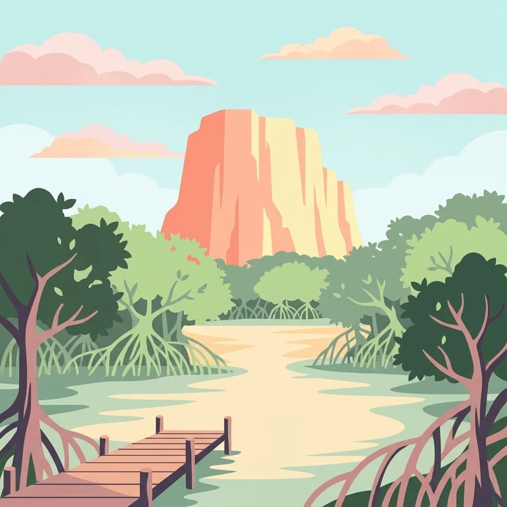
Where the sky begins: a vast Caribbean biosphere of mangroves, cenotes, and coral reefs.
Sian Kaan Biosphere Reserve
Sian Kaan is a vast protected natural area on the Caribbean coast of the Yucatan Peninsula in the Mexican state of Quintana Roo. Its name comes from the Maya language and means "gateway to the sky" or "place where the sky begins," a phrase that captures the reserve's sense of openness along the low, flat coastline. The reserve protects a mosaic of tropical ecosystems that includes white sand beaches, small bays, mangrove forests, freshwater wetlands, low tropical forests, cenote systems, and a section of the Mesoamerican Barrier Reef, the second largest coral reef system in the world. Its blend of freshwater springs rising through saline marshland creates rare formations known locally as petenes, where tall trees rise out of otherwise flat swamps. Sian Kaan was inscribed as a UNESCO World Heritage Site in 1987 and later designated as a Ramsar wetland site, reflecting both its cultural and ecological significance. It remains one of the largest tropical protected areas in Mexico and an important region for Maya archaeology, marine biodiversity, and coastal conservation in the Yucatan Peninsula.
- Location
- Mexico
- Park type
- Biosphere reserve
- Established
- 1986
- Area
- 5,281.5 km²
Location overview
Country memberships and coastal marine status in Quintana Roo, Mexico
Sian Ka'an Geographic Setting and Regional Location Overview
Recorded memberships place Sian Ka'an within Mexico and the regional territory of Quintana Roo. Administrative data records show coastal and marine status across the protected area.
- Countries
- Mexico
- Regions
- Quintana Roo
- Primary location
- Quintana Roo
- Geographic setting
- Coastal · Marine
Boundary and coordinates
Sian Ka'an’s outline accompanies distinct land and marine values
Sian Ka'an mapped boundary and land-marine area records
Sian Ka'an has stored geometry for displaying its broad protected boundary. The database separately records 5,281.47 km² overall, 4,080 km² of land, and 1,200 km² of marine area without reconciling the source figures.
- Boundary area
- 5,282.2 km²
- Boundary perimeter
- 340.7 km
- Northernmost point
- 20.1278° N
- Southernmost point
- 19.0867° N
- Easternmost point
- 87.3767° W
- Westernmost point
- 88.0404° W
- Geographic centre
- 19.5264° N, 87.6577° W
- North–south span
- 115.3 km
- East–west span
- 69.6 km
Terrain and natural features
Lowland landscape classification and mapped geographic features
Sian Ka'an Terrain and Recorded Natural Features
Stored lowland terrain classifications define the regional landscape profile across coastal bays and interior features. Linked feature cards supply recorded names, types, and spatial relationships for each mapped formation.
Selected named natural features
Cave entrances
Entrada Boca Paila
Islands
Cayo Chal
Bays
Boca Paila
Peninsulas
Yucatán Peninsula
Beaches
Playa Akun
Environmental setting
Recorded landscape features, climate zones, and dominant seasonal water patterns
Sian Ka'an Environmental Setting, Tropical Lowland and Wetland Classifications
Recorded tropical classifications and wetland features provide complementary ways to read the physical setting of Sian Ka'an. Stored categories connect directly to relevant atlas destinations for broader regional exploration.
- Relief
- Lowland
- Climate
- Tropical
- Water
- Water-dominated
- Forest cover
- Mostly forested
- Seasonality
- Seasonal
Landscape features
Forest · Wetland · Lakes · Coast · Beach · Reefs · Karst
Habitat types
Tropical forest · Wetland · Coastal habitat · Marine habitat · Karst habitat
Park atlas
Compare adjacent wetland reserves and coastal protected landscapes across the region
Parks Near Sian Ka'an: Discover Protected Areas and Regional Landscapes
Browse other parks near Sian Ka'an to examine matching coastal ecosystems, wetland reserves, and tropical habitats. Expanding the regional comparison reveals broader conservation patterns across the surrounding peninsula geography.
National parkQuintana Roo
45 km away#1 closest
Northeast

Arrecifes de Cozumel National Park: National Park Protected Landscape and Map Exploration
Discover the geographic boundaries and regional context.
Arrecifes de Cozumel National Park represents a significant protected national park within the Quintana Roo region. This page provides detailed atlas-style information about its protected landscape, enabling users to explore its defined boundaries and understand its place in the broader geographic context of Mexico. Discover the mapped terrain and the structured facts that illuminate this vital conservation area.
- Area
- 120 km²
- Established
- 1996
- IUCN
- II
- Climate
- Tropical
National parkAmbergris Caye
About 105 km away#2 closest
South

Bacalar Chico National Park and Marine Reserve: Belize National Park & Marine Reserve Atlas
Explore Ambergris Caye's unique barrier island and reef geography.
Discover the extensive protected territory of Bacalar Chico National Park and Marine Reserve, a critical national park and marine reserve situated on Ambergris Caye, Belize. This protected area showcases a rich diversity of landscapes, from rare littoral forests and inland wetlands to vital coral reefs and sea grass beds integral to the Mesoamerican Barrier Reef System. Its unique geographic position and ecological significance make it a key destination for understanding Belize's conservation landscapes and mapped marine environments.
- Area
- 62.8 km²
- Established
- 1996
- IUCN
- IV
- Relief
- Lowland
Wildlife reserveQuintana Roo
About 146 km away#3 closest
North
Área de Protección de Flora y Fauna Yum Balam: Protected Wildlife Reserve Atlas and Geography
A diverse coastal mosaic in northern Quintana Roo, Mexico.
Discover the mapped landscape of Área de Protección de Flora y Fauna Yum Balam, a critical wildlife reserve on the Yucatan Peninsula. This protected area features a unique combination of semideciduous tropical forests, inland mangrove lagoons, and freshwater wetlands, offering a comprehensive look at the ecological diversity of the northern Caribbean coast.
- Area
- 1,540.52 km²
- Established
- 1994
- IUCN
- VI
- Relief
- Lowland
Biosphere reservePetén Department
187 km away#4 closest
Southwest

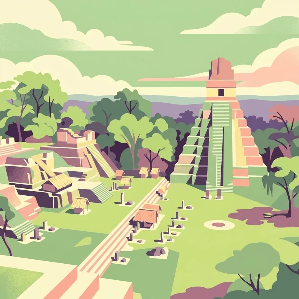
Maya Biosphere Reserve: Geographic Overview and Protected Landscapes in Petén
Tropical forest ecosystems and ancient archaeological mapping
Covering roughly one-fifth of Guatemala, the Maya Biosphere Reserve represents a pioneering model of zoned conservation. The landscape features a complex mosaic of lowland rainforests, savanna patches, and seasonal wetlands formed over a weathered limestone platform. This atlas summary examines the reserve's ecological boundaries, its vital role in protecting Mesoamerican biodiversity, and the concentration of pre-Columbian cities located across the Petén Department.
- Area
- 21,602 km²
- Established
- 1990
- Relief
- Mixed relief
- Climate
- Tropical
Nature reserveYucatán
About 218 km away#5 closest
Northwest
Cuxtal Ecological Reserve: Mapping the Protected Landscape and Geography of Yucatán
Nature reserve featuring critical groundwater recharge and historic cultural sites.
Cuxtal Ecological Reserve represents a significant protected area in Yucatán, Mexico, known for its strategic role in supplying water to Mérida. The landscape encompasses a vast expanse of seasonally dry low deciduous forest, interspersed with limestone karst formations, historic hacienda complexes, and archaeological remnants. This unique reserve provides essential habitats for migratory birds and local fauna while demonstrating the integration of environmental research, cultural heritage, and sustainable land management in a rapidly developing region.
- Area
- 107.57 km²
- Established
- 1993
- Relief
- Lowland
- Climate
- Tropical
National parkCayo District
218 km away#6 closest
Southwest
Guanacaste National Park National Park: Explore its Protected Landscape and Geographic Setting
Mapped natural terrain and regional context within Cayo District.
Delve into the specifics of Guanacaste National Park, a protected national park located in the Cayo District of Belize. This detail page is designed for atlas exploration, offering insights into the park's geographic boundaries and its significance as a defined natural landscape. Understand how this protected area fits into the regional geography and contributes to the mapped natural heritage of Belize.
- Area
- 0.2 km²
- Established
- 1973
- IUCN
- II
- Climate
- Tropical
National parkCayo District
About 226 km away#7 closest
Southwest
St. Herman's Blue Hole National Park: National Park Protected Landscape and Geographic Setting
Mapped Boundaries and Regional Landscape Context in Cayo District
St. Herman's Blue Hole National Park is an integral protected landscape within Belize, situated in the Cayo District. This national park offers specific geographic features and mapped boundaries essential for understanding its place within regional conservation. MoriAtlas provides detailed context for exploring the park's protected terrain and its contribution to the broader geographic atlas, focusing on landscape identity and mapped outlines for analytical discovery.
- Area
- 2 km²
- Established
- 1986
- Climate
- Tropical
- Access
- Easy access
National parkMexico
About 228 km away#8 closest
Northwest
Dzibilchantún National Park: Protected Landscape in Mexico's Atlas
Mapped boundaries and regional geography for this national park.
Delve into the protected landscape of Dzibilchantún National Park, a significant national park situated within Mexico. This entry offers a detailed look at its geographic positioning, mapped park boundaries, and its role within the national atlas of protected areas. Understand the specific landscape context and regional geography that define Dzibilchantún National Park for comprehensive exploration.
- Area
- 5.39 km²
- IUCN
- II
- Relief
- Lowland
- Climate
- Tropical
MoriAtlas Explorer
Deepen Your Understanding of Sian Ka'an Biosphere Reserve Landscapes
Continue exploring the intricate geographic patterns of Sian Ka'an Biosphere Reserve through the MoriAtlas structured database. Gain insight into the coastal plains, mangrove belts, and reef systems that define this major protected area in Quintana Roo and connect to the broader Yucatan Peninsula landscape.
Browse next
Global natural geography
Explore related park routes
Explore MoriAtlas Global ParksBrowse All MoriAtlas ParksGlobal Park Map DiscoveryMoriAtlas: Browse All CountriesBrowse All MoriAtlas ContinentsNational Park Environment AtlasGrand Canyon National Park AtlasYellowstone National Park AtlasYosemite National Park Atlas and GeographySerengeti National Park AtlasGalápagos National Park Protected LandscapeBanff National Park Geography and AtlasKruger National Park Atlas EntryExplore Uluru-Kata Tjuta National Park GeographyPlitvice Lakes National Park AtlasFiordland National Park Protected LandscapeGreat Smoky Mountains National Park AtlasZion National Park Protected Landscape AtlasAfghanistan National Parks and Protected AreasAlbania National Parks and Protected AreasAlgeria National Parks and Protected AreasAmerican Samoa National Parks and Protected AreasAndorra National Parks and Protected AreasAngola National Parks and Protected AreasAntarctica National Parks and Protected AreasAntigua and Barbuda Park List