Mori Atlas logo
Park earthquake history

A structured repository of seismic activity linked by geographic proximity to the range

Historical Earthquake Records Associated with Sierra Nevada National Park, Andalusia

Explore the historical catalogue of seismic events recorded in the vicinity of Sierra Nevada National Park, covering the high-altitude alpine terrain of Andalusia. Each entry provides technical data including event dates, magnitudes, and epicentre distances to support geographic analysis of the regional tectonic environment. This collection relies on USGS records to document past ground movement within the proximity of this protected mountain landscape.

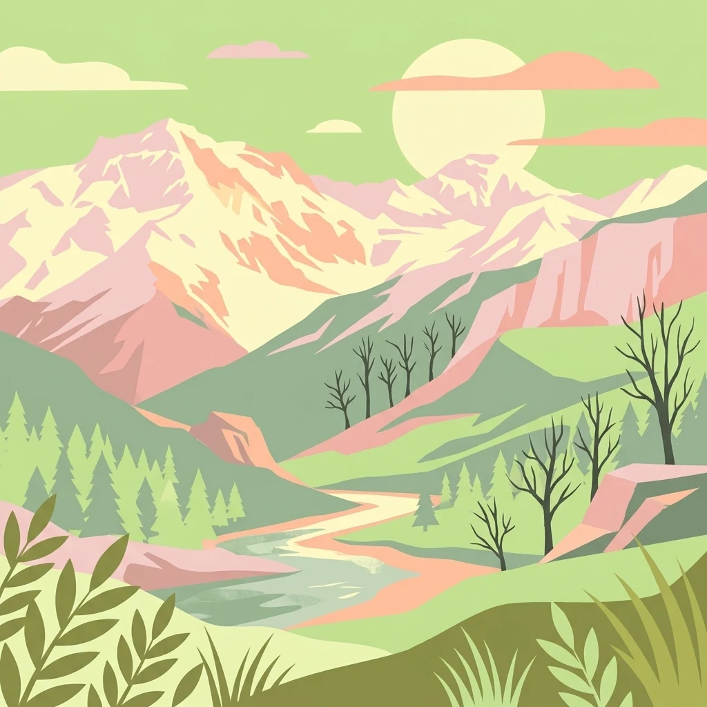
Stylized illustration showing mountain peaks, a river, and forests under a large sun

Spain's highest mountain range protecting Europe's southernmost alpine ecosystems

Sierra Nevada National Park

Sierra Nevada National Park protects the highest mountain range in mainland Spain, spanning the provinces of Granada and Almería in the autonomous community of Andalusia. Declared a national park in January 1999, it encompasses over 85,000 hectares of dramatic alpine landscapes featuring more than twenty peaks exceeding 3,000 meters, including Mulhacén, the highest point on the Iberian Peninsula at 3,479 meters. The park sits at the southernmost edge of continental Europe, creating a unique ecological island where species survived the Ice Age by migrating south and then persisting in these high-altitude refugia. This geographic isolation has produced an extraordinary concentration of endemic species, with over sixty plants found nowhere else on Earth. The landscape displays classic glacial features including U-shaped valleys, moraines, and nearly fifty high-mountain lakes, while the range serves as a critical watershed feeding both the Atlantic-bound Guadalquivir basin and rivers flowing to the Mediterranean.

Location
Spain
Park type
National park
Established
1999
Area
858.8 km²
Highest point
3,479 m
Sierra Nevada National Park Protected Landscape

Compare calculated epicenter distances, recorded magnitudes, and depth coordinates

Searchable Seismic Activity and Earthquake Archives for Sierra Nevada National Park

Seismic records associated with Sierra Nevada National Park are compiled by calculating the spatial distance between historical epicenters and the protected boundary. Individual catalog entries provide verified data including origin dates, recorded magnitudes, focal depths, geographic locations, and direct links to original seismological sources.

Sort by
Magnitude
Location

This page describes catalogued earthquakes associated with the park by epicentre location and distance. It does not establish causation, assess current danger, or predict future earthquakes.

No earthquake records match the current filters

Park atlas

Browse diverse conservation areas and regional national parks across the map

Explore More Protected Landscapes Beyond Sierra Nevada National Park

Moving beyond Sierra Nevada National Park opens up a vast directory of global protected areas and distinct natural sanctuaries. Broadening the geographic search helps researchers and travelers locate unique ecosystems, managed forests, and mountain reserves across different territories.
National park
126 km away#1 closest

West

Sierra de las Nieves National Park: Ancient Fir Forests and Karst Geography in Andalusia

Mapped protected landscape and unique geologic features

Sierra de las Nieves National Park stands as a remarkable protected area in Andalusia, Spain, celebrated for its world-leading Spanish fir forests and intricate karst topography. This national park showcases significant geological diversity, from towering limestone formations and deep caves to the striking red peridotite mountains of Sierra Bermeja. Its elevation, reaching Pico Torrecilla at 1,919 meters, offers a unique alpine landscape context within southern Europe, mapped for detailed geographic discovery and protected area exploration.

Area
939.3 km²
Established
1989
IUCN
II
Visitors
100K annual
Watercolor illustration showing a landscape with green hills, vegetation, and distant mountains
National parkMorocco
About 204 km away#2 closest

South

Al Hoceima National Park: Morocco's Coastal and Marine Protected Wilderness

Explore dramatic cliffs, kelp forests, and marine biodiversity.

Al Hoceima National Park represents a significant protected coastal and marine area in northern Morocco, distinguished by its rugged 50-kilometer Mediterranean coastline featuring spectacular limestone cliffs. This national park offers an atlas-style view of a landscape transitioning from the Ibaqouyen Rif mountains to the sea, harboring rich marine biodiversity including significant osprey colonies and dolphin habitats. Discover the mapped extent of this wild protected territory and its unique ecological features.

Area
480 km²
Established
2004
IUCN
II
Relief
Mountain
Watercolor illustration showing a wetland landscape with grasses, a body of water, and distant hills
National park
215 km away#3 closest

North

Tablas de Daimiel National Park: Spain's Inland Wetland National Park and Protected Area

Explore mapped boundaries and regional geographic context.

Tablas de Daimiel National Park represents one of the last remaining examples of floodplain wetland systems in Spain's interior. Located in Castilla-La Mancha, this protected area showcases a unique confluence of fresh and brackish waters, supporting a rich mosaic of emergent vegetation and serving as a critical habitat for migratory birds. Use MoriAtlas to explore its precise geographic setting, mapped terrain, and its role as a vital conservation landscape within the Iberian Peninsula.

Area
30.3 km²
Established
1973
IUCN
II
Relief
Lowland
Watercolor illustration of a river flowing through wetlands with trees and distant hills
National parkHuelva
241 km away#4 closest

West

Doñana National Park National Park: Mapped Geography and Protected Landscape Context

Explore Huelva's key protected area and its regional geographic setting.

Delve into the structured geographic data and mapped boundaries of Doñana National Park. This entry highlights its identity as a national park within the Huelva region, providing essential context for understanding its protected landscape. MoriAtlas offers this detail to facilitate a clear, atlas-driven exploration of its natural terrain and its place in the broader geographic framework of Spain.

Area
543 km²
Established
1969
IUCN
II
Visitors
376.3K annual
Watercolor painting showing green fields, scattered trees, and distant mountains under a light sky
National parkToledo Province
About 266 km away#5 closest

Northwest

Cabañeros National Park: Spain's Premier Iberian Oak Woodland Protected Landscape

Mapped Geography of Montes de Toledo Protected Area

Cabañeros National Park is celebrated as the most extensive and well-conserved example of Iberian Mediterranean forest in Spain. Situated within the Montes de Toledo, the park features a remarkable dichotomy between its unique raña flatlands and mountainous sierras, harboring ancient oak woodlands and significant biodiversity. This national park serves as a crucial component of the region's geographic context and a prime destination for atlas-based discovery of protected landscapes.

Area
409 km²
Established
1995
IUCN
II
Visitors
104.6K annual
National parkTlemcen Province
About 271 km away#6 closest

Southeast

Tlemcen National Park National Park: Mapped Boundaries and Regional Geographic Context

Discover protected landscapes within Tlemcen Province.

Delve into Tlemcen National Park, an important protected landscape situated within Tlemcen Province. This detail page offers a focused exploration of its specific geographic identity, mapped park boundaries, and the natural terrain it encompasses, providing essential context for understanding its role in regional geography and protected land exploration within Algeria.

Area
82.25 km²
Established
1993
IUCN
II
Relief
Mixed relief
National parkTaza Province
About 323 km away#7 closest

South

Tazekka National Park: Protected Landscape and Geographic Context in Taza Province

Discover its national park status and mapped terrain.

Tazekka National Park serves as a vital protected area within the geographic framework of Taza Province, Morocco. This national park offers a distinct landscape for exploration, allowing users to investigate its mapped boundaries and regional natural features. Understand the park's role in the local geography and its contribution to Morocco's atlas of protected lands. Its specific terrain and setting make it a key point for structured geographic discovery.

Area
120 km²
Established
1950
IUCN
II
Relief
Mountain
Watercolor illustration of rolling green hills, a winding river, and a distant horizon with a soft sun
National parkExtremadura
348 km away#8 closest

Northwest

Monfragüe National Park: Dramatic Cliffs, Raptor Haven, and Extremadura's Protected Landscape

Discover its mapped terrain and unique geography in Spain.

Monfragüe National Park, situated in Extremadura, Spain, offers a compelling study in protected landscape geography. The park's identity is shaped by its formidable cliffs and river valleys carved by the Tagus, providing critical nesting grounds for European raptors. This MoriAtlas entry details the park's mapped boundaries and its significance as a vital protected area within the region. Users can explore the specific natural terrain and regional context that establish Monfragüe as a unique protected territory.

Area
179 km²
Established
2007
IUCN
II
Visitors
331.8K annual
MoriAtlas Explorer

Continue Your Atlas Exploration of Sierra Nevada National Park's Unique Alpine Geography

Delve deeper into the mapped terrain and protected landscape of Sierra Nevada National Park. Understanding its position within Andalusia and its role as a high-altitude refuge for endemic species provides crucial geographic context. Use MoriAtlas to navigate the park's mapped boundaries and appreciate its significant contribution to continental Europe's high mountain ecosystems.