Peaks
Ras Dashen
4,553 m

Detailed terrain analysis including peak elevations, habitat zones, and landscape features
This geographic profile details the physical scope and environmental characteristics of Simien Mountains National Park in the Amhara Region of Ethiopia. The data includes a total area of 412 square kilometers, a perimeter of 346 kilometers, and extreme elevation variations ranging from 1900 meters to 5433 meters. Explore structured records of mountain peaks, rivers, and diverse habitats within the Ethiopian Highlands.
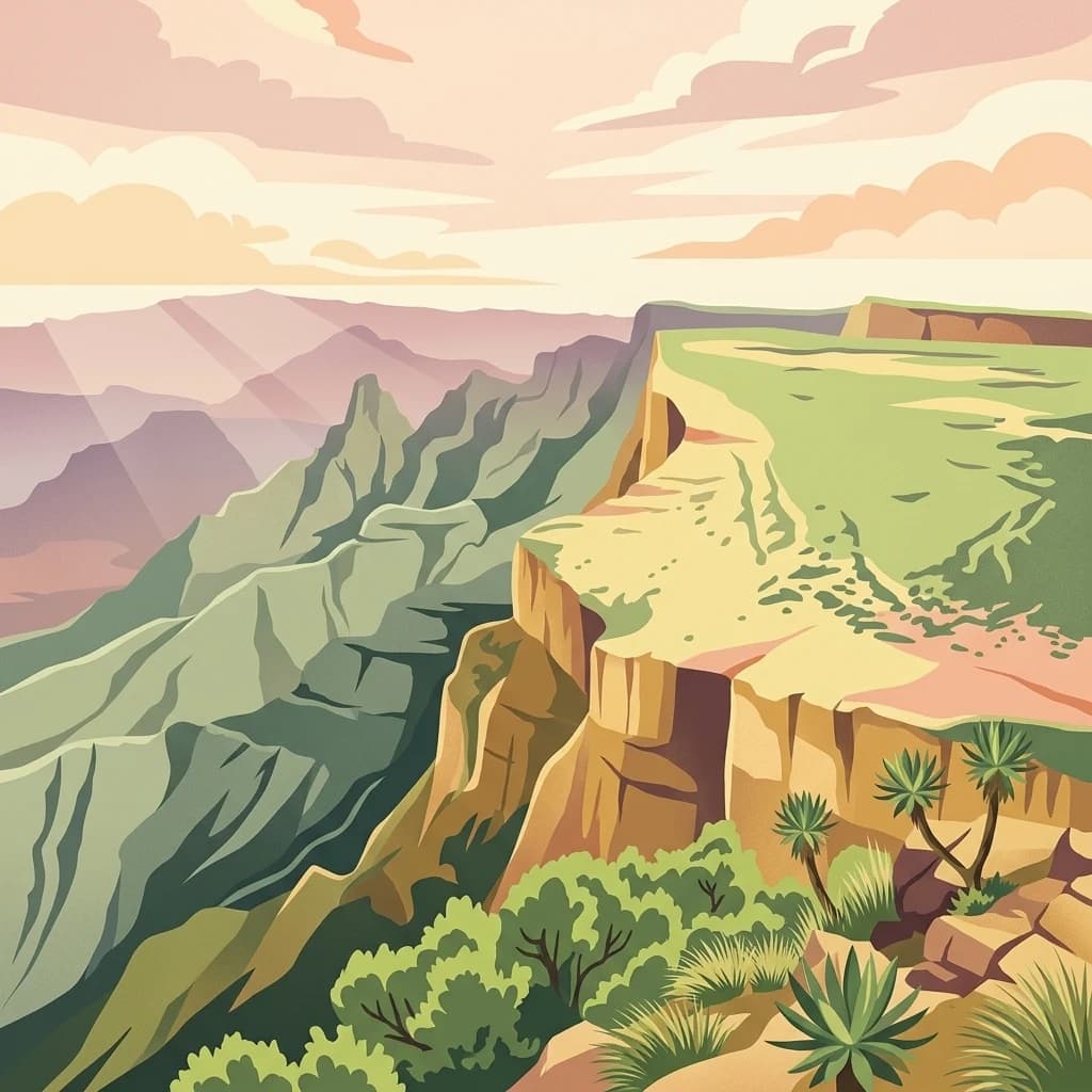
Ethiopia's spectacular highland wilderness protecting unique endemic wildlife
Simien Mountains National Park is the largest national park in Ethiopia, situated in the North Gondar Zone of the Amhara Region in the northwestern highlands of the country. The park encompasses the highest elevations of the Simien Mountains, including Ras Dashan, the tallest peak in Ethiopia at over 4,500 meters. Established in 1969, the park was among the first sites designated as a UNESCO World Heritage Site in 1978, recognized for its outstanding biodiversity and dramatic volcanic landscape featuring serrated peaks, deep valleys, and towering 1,500-meter cliffs. The park is renowned for its exceptional endemism, housing species found nowhere else on Earth including the Walia ibex and Ethiopian wolf. It supports one of the most significant populations of gelada baboons and provides habitat for over 400 bird species across its diverse afroalpine and montane forest ecosystems.
Territorial Profile and Location within Ethiopia's Amhara Region
Interactive boundary geometry and recorded area measurements
Mapped vertical range and recorded natural features within the protected area
Elevation span
3,533 m
Vertical extent from the lowest to the highest recorded elevation in the park
Peaks
4,553 m
Viewpoints
3,785 m
Peaks
2,915 m
Peaks
4,430 m
Rivers
Peaks
4,460 m
Interpreting recorded landscape features, habitats, and relief classifications
Mountains · Cliffs · Valleys · Forest · Grassland
Temperate broadleaf forest · Montane forest · Alpine meadow · Grassland
Trace the unique protected landscapes and regional park geography surrounding Ethiopia's iconic highlands.
West

Explore the geographic context of this Ethiopian National Park.
Alitash National Park serves as a vital protected area within Ethiopia's North Gondar Zone, encompassing 2,665.7 square kilometers of distinct lowland woodland and savanna ecosystems. The park's landscape is characterized by gently undulating terrain, seasonal river valleys, and the prominent Twin Mountains of Amadog. Its mapped boundaries delineate an area rich in biodiversity, highlighting its significance as a national park for conservation efforts. Understanding Alitash National Park's geographic setting is key to appreciating its role in regional ecological preservation and atlas exploration.
North

Explore the dramatic terrain and wildlife of Eritrea's highland national park.
Semenawi Bahri National Park represents a crucial protected landscape in Eritrea, characterized by its striking mountainous terrain. The park's elevation, ranging from 900 to 2400 meters, creates a distinctive highland environment with massive peaks and deep valleys. This unique geography supports a surprising diversity of wildlife, including species adapted to highland conditions, and makes it a compelling destination for exploring Eritrea's natural heritage through its mapped boundaries and regional context.
West

Mapped landscape context and protected area geography for this Sudanese national park.
This entry details Dinder National Park, a designated national park in Sudan, offering a comprehensive view for geographic exploration. Understand its specific location within Sudan's terrain and its significance as a protected landscape. The information provided is geared towards atlas-based research and understanding the park's mapped boundaries and regional geographic importance, facilitating structured discovery of conservation areas.
Northeast
Explore its Red Sea geography, coral ecosystems, and marine wildlife.
Delve into Dahlak Marine National Park, a premier protected marine area located off the coast of Eritrea. This national park preserves extensive coral reef formations, critical seabird nesting islands, and important mangrove zones within the Red Sea. It is renowned for supporting over 325 species of fish, providing sanctuary for nesting sea turtles, and being one of the few Red Sea locations where dugongs are found. The park's unique geography and marine biodiversity offer a compelling atlas-style exploration of protected landscapes in the Horn of Africa.
Southeast
Mapped landscape and dryland ecosystems.
Yangudi Rassa National Park represents a critical protected area within Ethiopia's Afar Region, covering extensive semi-desert and grassland terrains. The park's geography is marked by Mount Yangudi and the broad Rassa Plains, with the Awash River shaping its riverine forests and marshes. This national park offers a unique insight into dryland ecosystems and their conservation, providing a distinct mapped landscape for geographic study and exploration.
East

Discover its mapped boundaries and regional terrain.
Yoboki National Park is a key protected area within Djibouti, offering a distinct focus for geographic exploration. This entry provides structured information to understand the park's mapped landscape and its position within the Horn of Africa's regional geography. Delve into the park's protected land identity and terrain context, essential for atlas-based discovery and appreciating its natural features.

Southeast
Discover the protected landscape of this Ethiopian National Park.
Awash National Park, in Ethiopia. Landscapes: valleys, grasslands, and wetlands.
East
Discover a rare East African forest refuge with unique endemic species.
Day Forest National Park represents a critical ecological island within Djibouti's predominantly semi-desert geography. As the nation's oldest national park, it protects the largest remaining East African juniper forest, a vital sanctuary for species found nowhere else on Earth. Located in the Goda Mountains of the Tadjourah Region, its existence relies on rare localized rainfall, creating a distinctive mountainous forest environment that offers profound insights into protected landscape dynamics and regional biodiversity.
Deepen your understanding of Simien Mountains National Park by investigating its specific mapped terrain and protected landscape features. Examining this national park's place within the Amhara Region's broader geography reveals crucial connections for structured atlas discovery and landscape exploration.