Mori Atlas logo
Nearby park discovery

Geographic discovery of preserved environments and natural sites near the Monte Bondone plateau.

Nearby Protected Landscapes and Natural Areas Surrounding Torbiera delle Viote in Trentino

Explore the broader regional geography surrounding Torbiera delle Viote, a distinct alpine wetland in the Trentino-Alto Adige landscape. This collection maps the spatial relationship and distribution of nearby protected sites within the mountain terrain, providing context for the unique environmental character of the plateau.

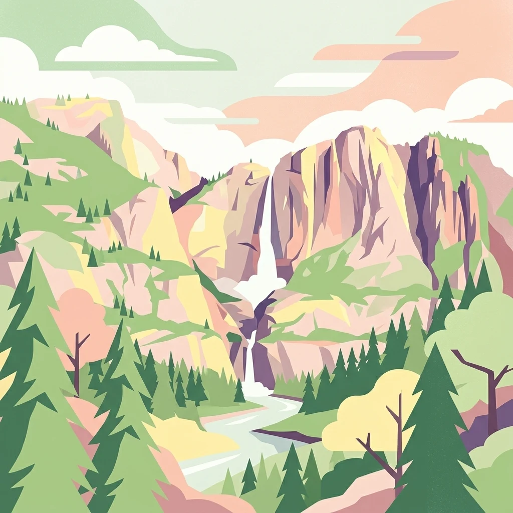
A flat style digital illustration of a mountain valley with a waterfall cascading from a cliff, a meadow in the foreground, pine trees, and a sunlit sky.

A small high-altitude peat bog and protected biotope on the Monte Bondone plateau above Trento.

Torbiera delle Viote

Torbiera delle Viote is a small protected biotope located on the high plateau of Monte Bondone, in the municipality of Trento, in the Trentino-Alto Adige region of northern Italy. Covering roughly 13 hectares, the site protects a relatively flat peatland basin set beneath the Cima Palon peak and the Bondone astronomical observatory, an unusual alpine wetland enclave within an otherwise conifer-forested mountain landscape. The reserve centers on a medium-sized peat bog surrounded by scattered broadleaf trees, with larch and spruce forests framing the edges of the wetland. Its protected status under a provincial decree of 2003 and its inclusion in the Natura 2000 network reflect its ecological importance as a fragile alpine wetland habitat, supporting unusual plant communities, rich birdlife, and a mammal community that includes large predators ranging from the surrounding Bondone forest. Beyond its ecological value, the area is closely linked to the nearby alpine botanical garden and astronomical observatory, making it part of the broader natural and scientific landscape of the Piana delle Viote, one of the most accessible high-elevation plateaus in the Trentino.

Location
Italy
Park type
Nature reserve
Established
2003
Area
0.1 km²
Torbiera delle Viote Protected Area Geography
Regional park map

See the ranked park cluster in its geographic setting

Nearby parks around Torbiera delle Viote

This regional map shows the same 20 nearby parks ranked below around Torbiera delle Viote. Select a ranked marker to highlight that park’s boundary where boundary data is available.
Reference park: Torbiera delle VioteRanked nearby parkSelected boundary: Torbiera delle Viote20 nearby parks shown
20 nearby parks

Ranked proximity and regional environmental comparison across surrounding terrain

Parks and Protected Areas Geographically Near Torbiera delle Viote

Spatial distance and directional metrics organize surrounding protected areas into a structured collection for Torbiera delle Viote. Examining these neighboring conservation spaces reveals regional park geography and varied alpine terrain patterns without implying shared environmental traits.
A horizontal watercolor illustration depicting a lake framed by green rolling hills and distant purple mountain ridges.
Nature reserveTrentino-Alto Adige
About 6.6 km away#1 closest

Northwest

Biotopo Lago di Toblino Protected Area and Regional Landscape Geography

Nature reserve featuring Alpine and sub-Mediterranean plant habitats

Biotopo Lago di Toblino acts as a sheltered basin where lake, marsh, and woodland habitats create an essential corridor for wildlife. This protected landscape is shaped by the interplay between the surrounding steep mountains and the influence of nearby Lake Garda, fostering an unusual climatic overlap that supports a wide range of native flora and waterbird populations within an important European conservation site.

Area
1.705 km²
Established
1992
IUCN
IV
Soft watercolor painting of layered green hills and distant mountain ranges with a hazy, light-filled sky.
Nature reserveTrentino-Alto Adige
About 8.4 km away#2 closest

Southwest

Biotopo Marocche di Dro: Geologic Protected Landscape in Trentino-Alto Adige

Discover the massive postglacial rockfall deposits of northern Italy.

Biotopo Marocche di Dro is a protected nature reserve defined by its expansive, boulder-strewn arid surface and exceptional postglacial rockslide deposits. Unlike typical wetland biotopes, this site provides a rare, sun-exposed habitat for reptile-rich fauna and unique plant communities within the broader Trentino landscape, offering a window into the dramatic geological transformations that have shaped the valley floor.

Area
2.508 km²
Established
1989
IUCN
IV
Nature reserveTrentino-Alto Adige
About 14 km away#3 closest

West

Biotopo Lomasona Nature Reserve: Protected Landscapes and Alpine Geography in Trentino

A small-scale conservation area in the heart of Val Lomasona

Biotopo Lomasona stands as a specialized nature reserve in the Italian Province of Trento. This compact protected area focuses on habitat conservation within the alpine terrain, serving as an important ecological anchor in the valley landscape of Comano Terme and the wider Trentino-Alto Adige region.

Area
0.26 km²
Established
1987
IUCN
IV
A watercolor painting showing a panoramic view of a green wetland landscape with soft purple mountains in the background.
Nature reserveTrentino-Alto Adige
About 16 km away#4 closest

West

Biotopo Fiavé: A Protected Wetland and Archaeological Landscape in Trentino-Alto Adige

Mapping glacial lake basins and ancient prehistoric heritage sites

Located at the foot of Monte Cogorna, Biotopo Fiavé functions as a vital wetland reserve characterized by extensive peat bogs and mixed willow-alder thickets. This area offers a unique intersection of natural hydrological evolution and UNESCO-protected archaeological history, serving as a rare, compact cross-section of alpine valley ecosystems and prehistoric human settlement patterns.

Area
1.373 km²
Established
1988
IUCN
IV
A soft watercolor painting of a wetland landscape with distant rolling hills, green grassy banks, and a calm water surface, rendered in a muted palette.
Nature reserveTrentino
18 km away#5 closest

Southwest

Lago di Loppio Nature Reserve: A Protected Wetland and Archaeological Landscape in Trentino

Mapping the ecological intersection of wetlands and historical island sites.

Lago di Loppio functions as a critical provincial biotope, blending rare marshland ecology with a deep historical footprint on the Island of Sant'Andrea. Situated within a depression in the Adige valley, this protected area features a unique transitional microclimate that supports diverse flora and fauna, alongside ruins spanning Roman to medieval eras.

Area
1.126 km²
Established
1987
Relief
Upland
Climate
Temperate
Nature reserveTrentino-Alto Adige
About 19 km away#6 closest

Southwest

Biotopo Monte Brione: Protected Nature Reserve and Mediterranean Landscape Map

Exploring the limestone ecology of northern Italy

Biotopo Monte Brione stands as a remarkable protected area where southern European vegetation, including holm oaks and Phoenician juniper, flourishes against a backdrop of sun-exposed limestone cliffs. Situated as a natural buffer near Lake Garda, this reserve offers a deep look into the intersection of Mediterranean floral diversity and Alpine geographic settings, providing a essential refuge for protected raptors and rare invertebrate species.

Area
0.663 km²
Established
1992
IUCN
IV
Nature reserveTrentino-Alto Adige
About 27 km away#7 closest

Northeast

Biotopo Prati di Monte: Nature Reserve and Protected Alpine Landscape Discovery

Geographic overview of the Dossone di Cembra alpine ridge

Biotopo Prati di Monte represents a protected nature reserve in Trentino-Alto Adige, known for its unique concentration of peatland habitats. The area encompasses the remnant Lago di Valda basin, acidic spruce forests, and diverse wetland meadows. This atlas-focused perspective highlights the reserve as a significant refugium for sub-arctic flora situated along the porphyritic mountain terrain between the Val di Cembra and the Bassa Atesina.

Area
0.06 km²
Established
1994
IUCN
IV
A soft watercolor painting of a tranquil lake surrounded by gentle, rolling green hills and wetland vegetation.
Nature reserveTrentino-Alto Adige
33 km away#8 closest

Southwest

Lago d'Ampola: Mapping the Ecology of a Glacial Nature Reserve in Trentino

A critical protected wetland and montane biotope

Lago d'Ampola preserves a remarkably layered habitat of glacial origin, where water lilies, marsh vegetation, and spruce-beech forests converge. This protected site in Trentino-Alto Adige offers a focused look at the intersection of glacial geography and successful ecosystem recovery in an Alpine valley setting.

Area
0.5 km²
Established
1990
Relief
Mountain
Climate
Alpine
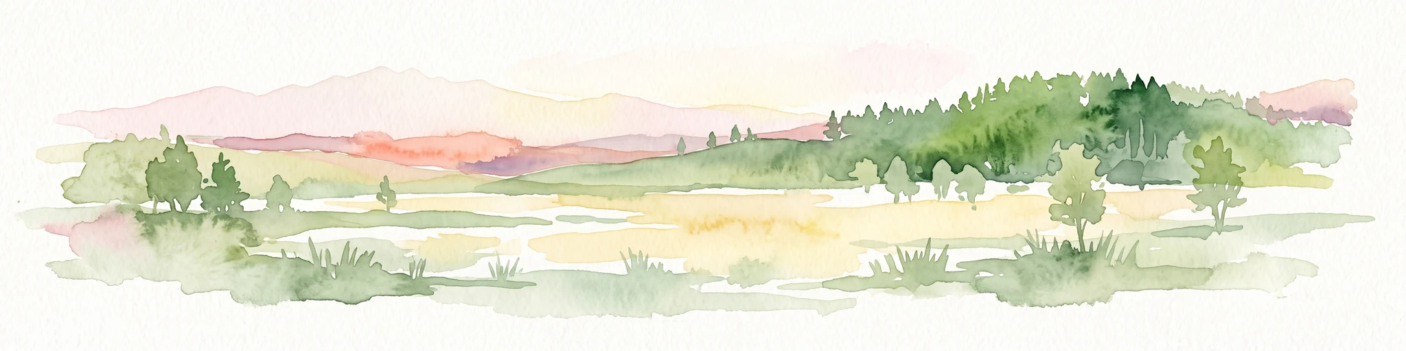
A horizontal watercolor painting showing a meadow-like bog landscape with light green and yellow ground cover, scattered small trees, and a background of rolling hills and forested ridges in shades of green and soft pink.
Nature reserveTrentino-Alto Adige
About 39 km away#9 closest

Northeast

Biotopo Palù Longa Nature Reserve: Mapped Peatland and Alpine Geography in Trentino-Alto Adige

Protected watershed habitat featuring Sphagnum moss and diverse alpine plant communities

Located in the Trentino-Alto Adige region, Biotopo Palù Longa is a protected nature reserve defined by its rare Alpine peatland character. The area encompasses 6 hectares of wetland, including open bog pools, wet meadows, and sedge-dominated terrain. This site offers valuable insight into the ecological preservation of fragile mountain microhabitats, illustrating the intersection of forested slopes and historic peat-forming basins.

Area
0.061 km²
Established
1987
Relief
Highland
Climate
Alpine
Watercolor painting of a mountain range with a lake, green hills, and a sunset sky
National parkTrentino-Alto Adige/Südtirol
45 km away#10 closest

Northwest

Stelvio National Park National Park: Protected Landscape and Regional Geographic Context

Explore its mapped boundaries and natural terrain.

Navigate Stelvio National Park, a designated national park in Italy's Trentino-Alto Adige/Südtirol region, through a map-centric lens. This page provides critical context for understanding the park's protected landscape, its geographic position within the Alps, and its mapped terrain. Utilize MoriAtlas to grasp the park's boundaries and its place in regional geography for structured natural landscape discovery.

Established
1935
IUCN
II
Relief
Mountain
Scope
Terrestrial
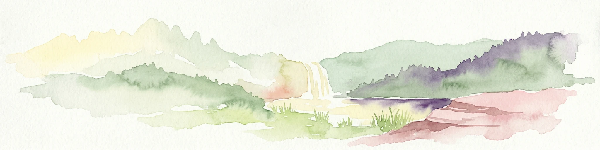
Watercolor illustration showing a mountainous landscape with a waterfall, green hills, and layered colors
National parkProvince of Belluno
56 km away#11 closest

East

Dolomiti Bellunesi National Park: National Park, Province of Belluno Protected Landscape

Explore mapped boundaries and regional geography

This entry details Dolomiti Bellunesi National Park, a distinct national park situated within the Province of Belluno. It provides essential geographic context and protected landscape information, enabling users to understand the park's boundaries and its role within the regional terrain. Dive into the mapped features and discover the atlas-driven details of this significant Italian protected area.

Area
32 km²
Established
1988
IUCN
II
Relief
Mountain
A flat-style digital illustration showing a tiered waterfall flowing down a rocky mountain face, surrounded by stylized coniferous forests and a winding river.
Biosphere reserveVeneto
About 61 km away#12 closest

East

Monte Grappa Biosphere Reserve: A Geographic and Historical Protected Area

Tracing the ecological mosaic of the Venetian Prealps

Monte Grappa provides a rare geographic study of an uplifted limestone massif in northeastern Italy. Recognized as a UNESCO Biosphere Reserve, it compresses diverse habitats, from Mediterranean broadleaf forests to subalpine ridges, within a singular mountain structure. This atlas entry details the natural terrain, regional boundaries, and memorial landscapes that define this significant Venetian protected area.

Established
2021
Relief
Mountain
Climate
Temperate
Access
Access unknown
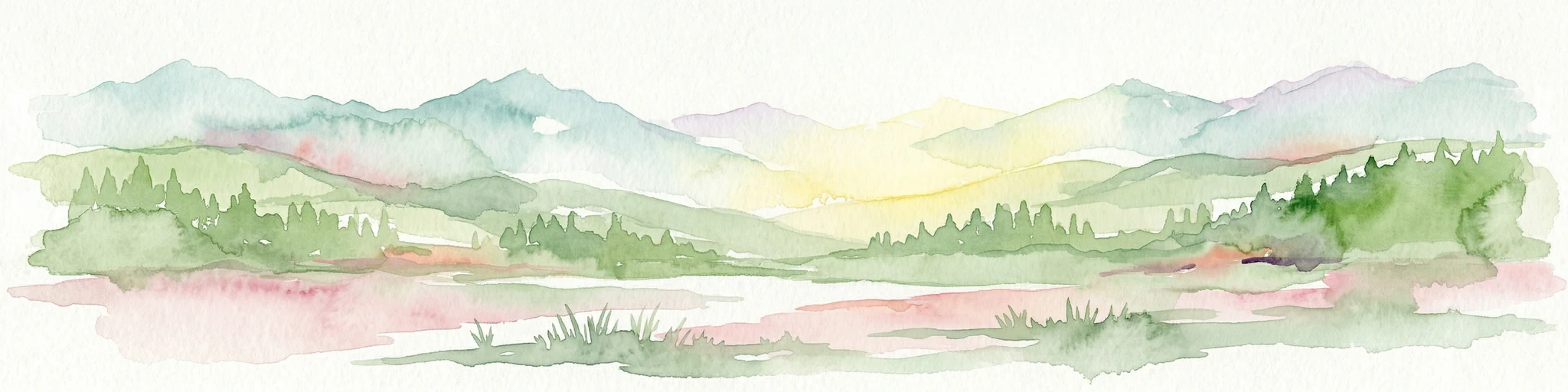
A horizontal watercolor illustration depicting soft, rolling green hills and distant mountain ridgelines against a pale yellow sky.
Nature reserveLombardia
68 km away#13 closest

West

Riserva naturale Boschi del Giovetto di Paline: Protected Forest and Mountain Geography

A mapped nature reserve across Lombardy mountain slopes

Situated between the provinces of Bergamo and Brescia, this nature reserve offers a detailed look at old-growth coniferous woodlands and subalpine pasture management. The site serves as a vital ecological bridge within the Orobic Prealps, defined by its steep altitudinal transition, glacial landforms, and the distinctive dome-shaped ant colonies that shape the local forest ecology.

Area
5.97 km²
Established
1985
IUCN
IV
A soft, horizontal watercolor painting showing rolling green hills, a winding river or lake, and misty mountain silhouettes in the background against a white backdrop.
Regional parkGraubünden
About 83 km away#14 closest

Northwest

Biosfera Val Müstair Regional Park: Alpine Landscapes and UNESCO Biosphere Geography

Protected glacial terrain and cultural alpine valleys in eastern Switzerland.

Discover the distinctive natural geography of Biosfera Val Müstair, where a dry inner-Alpine climate meets high-altitude glacial features like the Lai da Rims. This regional park protects an extensive area of Graubünden, balancing rare ecosystems, broad alluvial fans, and the traditional alpine economy of the Romansh-speaking community.

Area
198.65 km²
Established
2011
Relief
Mountain
Climate
Alpine
National parkGraubünden
90 km away#15 closest

Northwest

Swiss National Park: Geographic Context and Protected Alpine Wilderness in Graubünden

A comprehensive look at the Engadin valley's premier wilderness sanctuary

Spanning over 170 square kilometers in the canton of Graubünden, the Swiss National Park offers an unparalleled example of a strictly protected Alpine ecosystem. This atlas profile details the park's distinct topography, from the subalpine pine forests near the Ofenpass to the delicate karst lake basins at Macun, providing a deep look into its history as a central reference site for wilderness restoration and geological research.

Area
170.3 km²
Established
1914
IUCN
Ia
Relief
Mountain
A horizontal watercolor illustration showing stylized, overlapping mountain ridges in shades of soft green, pink, and yellow against a white background.
Natural monumentGraubünden
About 101 km away#16 closest

Northwest

Roseggletscher Natural Monument: Alpine Glacier Geography and Proglacial Lake Mapping

Protected landscape data for the Bernina range in Graubünden.

Examine the geographic boundaries and terrain of the Roseggletscher, a protected natural monument situated in the upper Val Roseg. This record captures its glacial extent, the emergence of the Lej da Vadret proglacial lake, and its role within the wider Bernina glacier ensemble of southeastern Switzerland.

Area
6.38 km²
Relief
Mountain
Climate
Alpine
Access
Moderate access
A soft watercolor painting showing a wide, high-altitude alpine plateau with rolling hills, scattered small lakes, and distant mountain ridgelines.
Nature reserveGraubünden
About 105 km away#17 closest

Northwest

Macun-Seen Nature Reserve: Protected Alpine Plateau and Cirque Lake Landscape

High-altitude basin and crystalline geological features in Graubünden

Located in the Lower Engadine region of Graubünden, the Macun-Seen nature reserve is a significant high-altitude basin formed by glacial action. This protected exclave contains 23 small cirque lakes across a silicate plateau, offering a distinct ecological profile and expansive views of peaks approaching 3000 metres. It stands as a prime example of preserved alpine terrain within the broader Swiss National Park context.

Area
3.6 km²
Established
2000
Relief
Mountain
Climate
Alpine
A soft watercolor painting of a river winding through a valley with green trees, grassy plains, and distant purple hills against a white background.
Nature reserveGraubünden
About 106 km away#18 closest

Northwest

Naturschutzgebiet Isla Glischa-Arvins-Seglias Nature Reserve in Graubünden

Mapped alluvial terrain and alpine river geography

Situated in the broad valley floor of the Upper Engadin, this nature reserve protects one of the most significant alpine floodplain zones in the Swiss canton of Graubünden. The area features a complex network of river channels, gravel lakes, and marshes that are currently undergoing active revitalization to restore natural riverine processes and support rare riparian ecosystems.

Area
0.867 km²
Established
1992
IUCN
IV
Relief
Upland
Nature reserveLombardia
About 110 km away#19 closest

West

Val di Mello Nature Reserve: Mapping the Granitic Geography of the Italian Alps in Lombardia

A study of protected vertical relief, glacial cirques, and Alpine terrain.

Val di Mello offers a profound look at high-altitude Alpine geography, characterized by its immense, light-colored granitic walls and deeply carved tributary valleys. This protected nature reserve acts as a gateway to the broader mountainous terrain of the Lombardia region, showcasing the geological evolution of the Italian Alps through its steep gullies, high summits, and expansive valley floor.

Established
2009
Relief
Mountain
Access
Moderate access
Scope
Terrestrial
Watercolor illustration of a panoramic mountain landscape with soft green hills, rolling ridgelines in shades of pink and purple, and small patches of blue water in the foreground.
Regional parkCanton of Graubünden
About 122 km away#20 closest

Northwest

Parc Ela: Regional Nature Park and Alpine Geography in the Canton of Graubünden

A vertical protected landscape in the Swiss Alpine arc.

Parc Ela encompasses a remarkable span of Swiss Alpine geography, protecting everything from low-lying forested gorges at seven hundred meters to high-altitude peaks over three thousand meters. The park serves as a vital refuge for threatened insect species and large alpine mammals, while preserving the linguistic and architectural heritage of the Albula and Oberhalbstein valleys. Explore the mapped terrain where paleontological treasures meet historic trade routes.

Area
659 km²
Established
2012
Relief
Mountain
Climate
Alpine
Distance methodology

Geographic measurements, not driving distances

How nearby park distances are calculated

Distances use park boundaries whenever the available geometry allows it. When one or both boundaries are missing, the mapped park locations provide a clearly labelled estimate. Every value represents straight-line geographic separation and does not use roads or routing.

Boundary distance

Calculated between the nearest points of both park boundaries.

Location-to-boundary estimate

Estimated from one mapped park location to the nearest boundary of the other park.

Mapped-location estimate

Estimated between the mapped locations of both parks.

MoriAtlas Explorer

Continue Exploring the Protected Landscape of Torbiera delle Viote Nature Reserve

Delve deeper into the map-based geography and ecological composition of Torbiera delle Viote. This MoriAtlas destination provides structured data on the peat bog basin and the surrounding alpine plateau, facilitating a better understanding of one of the most distinct wetland habitats found in the Trentino-Alto Adige mountain region.