Mountain saddles
Vršič Pass
1,611 m

Detailed analysis of mountain ranges, alpine valleys, and glaciated landscapes
Examine the geographic foundation of Triglav National Park, spanning 880 square kilometers across the Julian Alps. This profile identifies the recorded elevation range from 180 to 2864 meters and categorizes major natural features including glaciers, gorges, and mountain ridges.
Slovenia's only national park protecting the Julian Alps and Mount Triglav
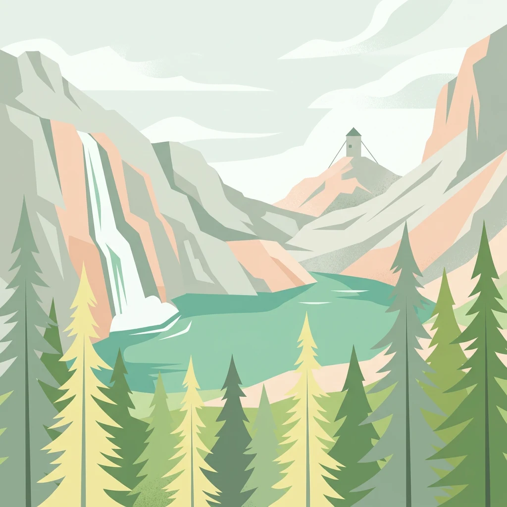
Triglav National Park is Slovenia's sole national park, established in its modern form in 1981 and covering 880 square kilometers of the northwestern Julian Alps. The park is named after Mount Triglav, the highest peak in Slovenia at 2,864 meters, which stands nearly in the center of the protected area. This dramatic alpine landscape radiates outward from the mountain, with valleys feeding two major river systems: the Soča, which flows to the Adriatic Sea, and the Sava, which reaches the Black Sea. The park encompasses remarkable geological diversity, from towering limestone walls and glacial valleys to karst phenomena and pristine lakes, making it a centerpiece of Slovenian natural heritage and a symbol of national identity.
Regional placement and terrestrial status within Slovenia
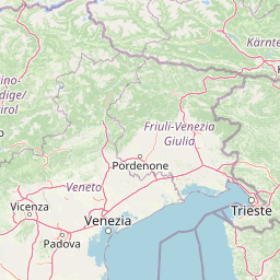
Interactive boundary geometry and spatial measurements for Triglav National Park
Vertical range summary and recorded internal natural features
Mountain saddles
1,611 m
Peaks
1,593 m
Peaks
2,244 m
Peaks
2,547 m
Peaks
2,740 m
Peaks
2,864 m
Alpine climate zones, montane forests, and karst relief formations
Mountains · Valleys · Lakes · Rivers · Waterfalls · Cave · Karst · Cliffs · Glacier
Montane forest · Alpine meadow · Riverine habitat · Lacustrine habitat · Wetland · Karst habitat
Compare adjacent alpine landscapes, karst regions, and related protected zones in the Julian Alps
South

Dinaric highland exploration and protected terrain mapping.
Ternowaner Wald is a prominent limestone plateau located in southwestern Slovenia. Characterized by deep karst phenomena including sinkholes and the Great Ice Cave in Paradana, the area represents a critical ecological junction of mixed Dinaric beech and fir forests. This overview details the plateau boundaries, tectonic features, and protected status of this diverse highland geography.
North

A protected alpine landscape and UNESCO Biosphere Reserve in the Austrian Alps
Discover the geographic character of Nock Mountains National Park, where the Gurktal Alps transition into sweeping, grass-covered dome summits. This protected area offers a look at a unique Tertiary land surface that survived the last Ice Age, supporting a mosaic of larch forests, alpine pastures, and high-altitude lakes that define the regional geography of southern Austria.
East
A cross-border protected area defined by tectonic uplift and deep alpine valleys.
Geopark Karawanken showcases a profound geological record formed by tectonic plate convergence. The protected area features sharp mountain massifs, subterranean karst systems, and deep-cut gorges that reveal the underlying structural complexity of the alpine range, offering a clear view of how tectonic forces shape regional geography.
Southeast
Mapped protected wetlands of the Ljubljana Marsh region
Naturreservat Iški morost serves as a primary conservation site for the distinct wet meadow habitats of the Ljubljana Marsh. This reserve demonstrates the intersection of wetland geography and bird conservation, protecting a crucial, coherent landscape that is rare in contemporary Slovenian lowlands.
South
Discover its profound underground river canyon and doline geography.
Škocjan Caves Regional Park in Slovenia is a protected karst landscape of global importance, renowned for its vast subterranean system and the Reka River's underground journey. This site, a UNESCO World Heritage designation, features dramatic collapse dolines like Mala and Velika dolina, alongside immense cave chambers that illustrate classic karst hydrology. It serves as a key reference point for understanding regional geology and protected area networks within southeastern Europe's unique terrains.
Northwest
Major protected area in the heart of the Austrian Alps
Hohe Tauern National Park protects a grand scale of alpine terrain, including towering summits above 3,000 meters and the longest glacial systems in the country. This atlas record provides insights into the park's vertical landscape, encompassing glacial valleys, waterfalls, and diverse ecological zones that define the High Tauern mountain range in Austria.
South

A canyon-like river valley and natural reference for karst phenomena
Val Rosandra stands as a defining protected area within the Friuli Venezia Giulia region, characterized by its sharp limestone cliffs, narrow gorges, and the distinct Supet waterfall. Its unique geological layering creates a compact environment where contrasting climates produce an extraordinary botanical intersection, set against a rich backdrop of historical remnants ranging from Roman aqueducts to former railway paths.
South
Protected marine and terrestrial landscape near Ankaran, Slovenia
Located on the Muggia Peninsula, Landschaftspark Debeli rtič protects a rare combination of flysch cliffs and shallow underwater reefs. This record provides a geographic breakdown of the park, including its distinct transition from agricultural vineyards to coastal woodland, offering a clear view of the protected area boundaries and surrounding Adriatic terrain.
Dive deeper into the structured geographic data and landscape context of Triglav National Park within the MoriAtlas platform. Understand its position within the Julian Alps, its distinct terrain features, and how its protected boundaries define this significant Slovenian natural area for comprehensive atlas exploration.