Mori Atlas logo
Park earthquake history

A structured historical catalogue of seismic events identified by proximity to park boundaries.

Recorded Earthquake History and Seismic Records Near Turon National Park in New South Wales

Review documented seismic events associated with the landscape of Turon National Park through this historical earthquake catalogue. This resource displays data including event dates, magnitudes, and epicentre distances to provide context on regional seismic history. All entries are sourced from established geological records, focusing on clear data retrieval for researchers and those interested in the geographic history of the Great Dividing Range.

Related tags

Gold rush heritageRiver valleysNew South WalesGreat Dividing RangeSandstone landscapes

Gold rush heritage and river valleys in the central NSW highlands

Turon National Park

Turon National Park is a protected area in central New South Wales, Australia, established in 2002 along a scenic section of the Turon River. The park lies approximately 150 kilometres north-west of Sydney, situated within the Great Dividing Range near the town of Lithgow. Characterised by steep sandstone valleys, elevated plateaus, and dense riverbank vegetation, the park protects a landscape that played a significant role in Australia's colonial history as one of the sites of the 1851 gold rush. The area remains relatively remote, with access to the valley floor challenging for most vehicles, preserving a sense of wilderness that contrasts sharply with the nearby populated regions of New South Wales.

Location
Australia
Park type
National park
Established
2002
Turon National Park National Park Atlas

Navigate Turon National Park events by depth and distance

Review historical earthquake records around Turon National Park

Turon National Park’s earthquake records are organised by mapped epicentres and calculated park distance, not evidence that events occurred within its river corridor. Readers can compare occurrence time, magnitude, depth, reported locality, separation, and sources without interpreting river or woodland characteristics as seismic causes, declaring present hazard, or projecting later activity.

Sort by
Magnitude
Location

This page describes catalogued earthquakes associated with the park by epicentre location and distance. It does not establish causation, assess current danger, or predict future earthquakes.

No earthquake records match the current filters

Park atlas

Move past Turon National Park earthquake observations

Find further protected destinations beyond Turon National Park

The destinations following Turon National Park expand atlas discovery beyond its earthquake evidence and New South Wales river-valley setting. Inclusion does not imply shared sandstone landscapes, heritage, designation, geographic closeness, seismic history, risk, or dedicated earthquake content, leaving each protected place to be understood from its own profile.
National parkNew South Wales
3.6 km away#1 closest

Northeast

Gardens of Stone National Park: National Park Protected Landscape and Geographic Atlas

New South Wales protected area and mapped terrain exploration.

Delve into the protected landscape of Gardens of Stone National Park, an important national park situated in New South Wales, Australia. This page offers an atlas-centric view, focusing on the park's distinct geographic identity, its mapped protected boundaries, and its contribution to the regional context of protected lands. Understand the fundamental landscape character and terrain that define this significant natural area for structured geographic discovery.

Area
150.8 km²
Established
1994
IUCN
II
Relief
Highland
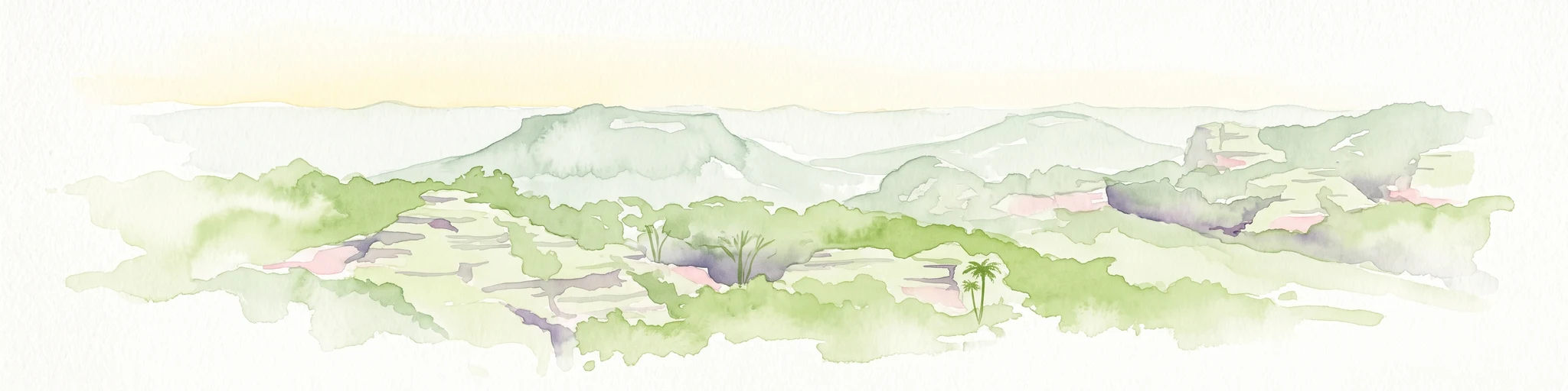
A soft, light-toned watercolor painting of a panoramic landscape featuring rolling hills, distant mesas, and scattered vegetation.
Protected landscapeNew South Wales
5.6 km away#2 closest

Northeast

Mugii Murum-ban State Conservation Area: Mesa Country and Capertee Valley Protected Geography

Sandstone pagoda formations and industrial heritage in New South Wales

Discover the geographic complexity of Mugii Murum-ban State Conservation Area, where twin sandstone mesas rise 500 metres above the Capertee Valley floor. This protected landscape preserves iconic pagoda rock pinnacles, rare relict plant communities, and heritage-listed remnants of the New Hartley oil shale industry. The area serves as a critical junction of cultural significance and geological erosion, offering a window into the rugged terrain characteristic of the broader Blue Mountains sandstone belt.

Area
36.5 km²
Established
2011
Relief
Mountain
Climate
Temperate
National parkAustralia
About 14 km away#3 closest

Northeast

Capertee National Park: Detailed Geographic Context and Protected Landscape Mapping

Australia's National Park Terrain and Mapped Boundaries

Gain a structured understanding of Capertee National Park as a key protected area within Australia. This exploration focuses on its geographic significance, mapping its boundaries and detailing the natural landscape context. Discover how this national park contributes to the broader atlas of Australia's protected lands, offering insights into its unique terrain and regional setting.

Area
67.96 km²
Established
2010
Scope
Terrestrial
Water
Minor water
National parkNew South Wales
17 km away#4 closest

Northeast

Wollemi National Park: Mapping Australia's Protected Natural Landscape in New South Wales

Detailed geographic context and protected area exploration.

Wollemi National Park is a critical component of New South Wales' protected natural areas, offering rich opportunities for geographic discovery. This national park provides a distinct focus for understanding the mapped terrain and regional landscape context of Australia. Explore its position within New South Wales, uncovering the details that define its unique protected status and natural geography for dedicated atlas exploration.

Area
5,017.03 km²
Established
1979
IUCN
Ib
Relief
Mountain
National parkNew South Wales
53 km away#5 closest

South

Kanangra-Boyd National Park: A Protected Landscape within New South Wales' Geography

Mapped boundaries and regional park context.

Kanangra-Boyd National Park represents a significant protected area, offering valuable insights into the natural landscapes and geographic context of New South Wales. As a national park, it provides a clear example of mapped terrain and protected land distribution, crucial for anyone exploring the atlas of Australian conservation areas. Understanding this park contributes to a broader appreciation of its regional geography and specific landscape identity.

Area
686.6 km²
Established
1969
IUCN
Ib
Relief
Mountain
Watercolor illustration of a soft, pastel-colored landscape featuring rolling hills, gentle slopes, and sparse woodland against a light background.
Regional parkNew South Wales
About 61 km away#6 closest

Southeast

Ngula Bulgarabang Regional Park: Geography and Protected Land Profile

Upper Blue Mountains plateau and escarpment terrain

Located in the upper Blue Mountains of New South Wales, Ngula Bulgarabang Regional Park encompasses a distinct plateau characterized by both natural eucalypt bushland and a twentieth-century radiata pine plantation. This protected area overlooks the Megalong Valley, providing a vital connection between local escarpment ecosystems and the broader heritage-listed terrain of the region.

Area
3.06 km²
Established
2020
Relief
Upland
Climate
Temperate
National parkNew South Wales
About 64 km away#7 closest

Southeast

Blue Mountains National Park National Park: Mapped Protected Landscape Atlas

Explore New South Wales park geography and natural terrain.

Blue Mountains National Park, designated as a national park in New South Wales, offers a rich subject for geographic discovery and atlas exploration. This entry details its specific mapped boundaries and natural landscape features, providing essential context for understanding its place within Australia's protected areas. Engage with the park's core geographic identity and explore its protected terrain within a structured, map-focused dataset.

Area
2,679.54 km²
Established
1959
IUCN
II
Visitors
8.4M annual
A horizontal watercolor painting showing layers of rolling hills in shades of green, yellow, and soft pink against a white background.
Nature reserveNew South Wales
About 66 km away#8 closest

South

Jenolan Karst Conservation Reserve: Atlas and Geographic Landscape Profile

Protected nature reserve in the New South Wales Central Tablelands

The Jenolan Karst Conservation Reserve protects one of the most significant fluviokarst landscapes on the planet. This profile details the reserve's complex surface and subterranean drainage systems, including the famous Grand Arch and the multi-level cave network that defines the valley's distinct geological character within the Great Dividing Range.

Area
30.83 km²
Established
1997
IUCN
III
Visitors
250K annual
MoriAtlas Explorer

Continue Exploring Turon National Park's Protected Landscape and Geography

Delve deeper into the mapped geography and protected area context of Turon National Park. Understanding its specific landscape features and regional setting within New South Wales enhances your atlas exploration. This detailed view of Turon National Park offers essential data for geographic discovery and appreciating its conservation significance.