Mori Atlas logo
Park earthquake history

A structured repository of historical seismic activity mapped by distance to the park boundaries

Comprehensive Earthquake History Records Associated with Vesuvius National Park, Campania

Review an organized catalogue of recorded seismic events identified by their epicentre proximity to the volcanic landscape of Vesuvius National Park. This historical dataset presents documented earthquake data including event dates, magnitudes, and focal depths, offering a structured geographic look at regional activity as derived from scientific archives. The records provide context on documented movements relative to this Italian protected area without implying direct causation or specific geological warnings.

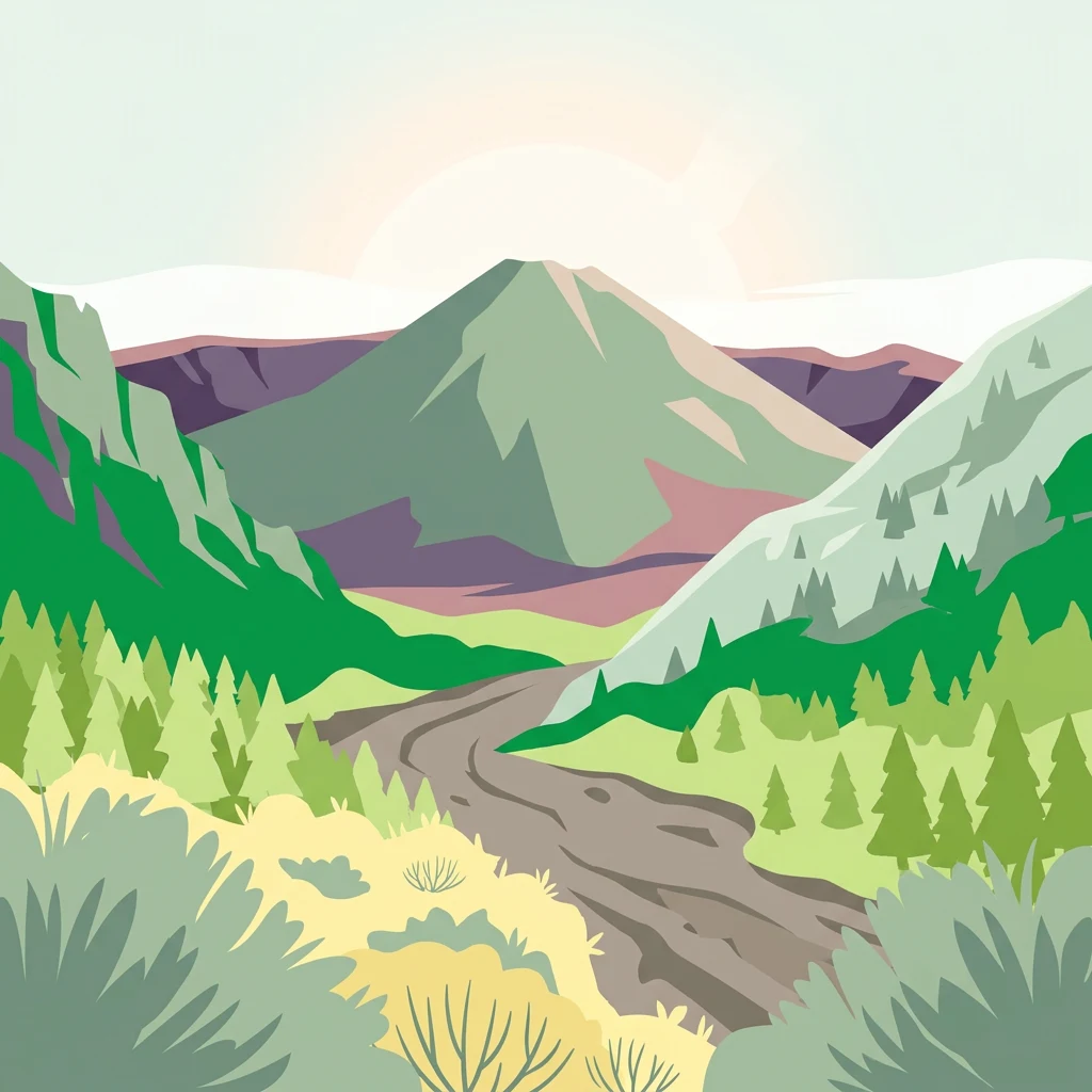
Stylized illustration of a mountainous landscape with a winding river, forests, and hills under a light sky

Active volcano reserve protecting Mediterranean ecosystems on the slopes of Mount Vesuvius

Vesuvius National Park

Vesuvius National Park is an Italian national park established on June 5, 1995, centered on the active volcano Mount Vesuvius and the ancient crater of Monte Somma in the Campania region southeast of Naples. The park encompasses approximately 72.6 square kilometers across thirteen municipalities within the Province of Naples, making it one of Europe's few protected areas centered on an active continental volcano. The Somma-Vesuvius volcanic complex has a geological history spanning over 400,000 years, with the current volcanic structure featuring a massive outer cone (Monte Somma) that contains the younger, still-active Gran Cono of Vesuvius within its caldera. This unique volcanic landscape, combined with Mediterranean maquis and forest vegetation, supports remarkable biodiversity given the park's relatively small area, with 612 plant species and 227 animal species recorded within its boundaries.

Location
Italy
Park type
National park
Established
1995
Area
72.6 km²
Highest point
1,277 m
Vesuvius National Park Protected Landscape

Trace historical epicentres mapped by proximity to the protected volcanic terrain

Historical Earthquake Records Associated with Vesuvius National Park

Spatially associated earthquake records compile historical seismic data mapped by the distance from their epicentres to Vesuvius National Park. Individual entries provide verifiable event details including magnitude, focal depth, date, recorded coordinates, calculated proximity, and links to primary seismological data sources.

Sort by
Magnitude
Location

This page describes catalogued earthquakes associated with the park by epicentre location and distance. It does not establish causation, assess current danger, or predict future earthquakes.

No earthquake records match the current filters

Park atlas

Expand your geographic discovery with mapped global protected areas and regional park entries

Explore Other National Parks and Protected Landscapes Beyond Vesuvius

After researching the local seismic history of Vesuvius National Park, users can navigate a broader selection of global conservation territories and managed nature reserves. Comparing distinct regional landscapes helps build a comprehensive understanding of international park boundaries and environmental preservation efforts.
Watercolor painting showing mountains, a lake, and grassy fields
National park
59 km away#1 closest

Southeast

Cilento, Vallo di Diano and Alburni National Park: An Italian National Park's Geographic and Protected Landscape Identity

Mapped protected area boundaries and regional context.

Delve into the core geographic and protected-area characteristics of Cilento, Vallo di Diano and Alburni National Park. As a designated National Park in Italy, its mapped boundaries and landscape context are essential for atlas exploration. This entry provides the foundational geographic understanding needed to place this protected land within a broader map-based discovery framework, highlighting its significance as a natural landscape.

Area
1,810.48 km²
Established
1991
IUCN
II
Relief
Mountain
Watercolor illustration showing a landscape with mountains, green forests, and a river under a soft sky
National parkBasilicata
100 km away#2 closest

East

Appennino Lucano - Val d'Agri - Lagonegrese National Park: Protected Mountain Landscape in Basilicata, Italy

Explore its geography, mapped terrain, and ecological role.

Gain insight into Appennino Lucano - Val d'Agri - Lagonegrese National Park, a significant protected mountain landscape in the heart of Basilicata. This detailed page focuses on the park's distinct geographic features, its role as a crucial ecological corridor connecting major southern Italian protected areas, and the mapped contours of its diverse terrain. Understand its place within the Lucano Apennine range and the broader natural atlas of Italy.

Area
689.96 km²
Established
2007
IUCN
II
Relief
Mountain
Watercolor painting showing a landscape with rolling green hills, a river, and scattered trees
National park
About 110 km away#3 closest

Northwest

Abruzzo, Lazio and Molise National Park

Protected landscape in Italy's Apennines.

Explore the mapped boundaries and protected status of Abruzzo, Lazio and Molise National Park. This historic Italian national park offers a detailed look at Apennine mountain geography and landscape.

Established
1923
IUCN
II
Watercolor painting showing mountains, forests, and a body of water in a scenic landscape
National parkAbruzzo
111 km away#4 closest

North

Maiella National Park: Abruzzo's Protected Landscape and Regional Geography

Explore mapped park boundaries and natural terrain.

Delve into the protected landscape of Maiella National Park, situated within the Abruzzo region of southern Italy. This page offers detailed atlas-level insights into its mapped boundaries, allowing for a clear understanding of its geographic setting. Discover how this national park contributes to the regional natural terrain and protected area context, providing a foundation for structured geographic exploration.

Area
628.38 km²
Established
1991
IUCN
II
Relief
Mountain
Watercolor illustration showing a coastal landscape with green hills, trees, and water body
National park
About 127 km away#5 closest

Northwest

Circeo National Park: Protected Landscape of Italy's Lazio Coast

Explore mapped terrain and Mediterranean ecosystem boundaries.

Circeo National Park offers a distinct protected landscape anchored by the striking Monte Circeo limestone promontory and its associated coastal dunes and island environments. As one of Italy's earliest national parks, it preserves a vital mosaic of Mediterranean ecosystems, providing a unique subject for geographic study and atlas-based navigation of protected areas. Users can explore its mapped context and the interplay between karst geology, coastal terrain, and diverse natural habitats.

IUCN
II
Watercolor illustration of a tree, green hills, and distant water view
National parkApulia
128 km away#6 closest

Northeast

Gargano National Park: Apulia's Protected Landscape and Regional Geographic Context

Mapped boundaries and natural terrain of a key Italian national park.

Delve into Gargano National Park, a designated national park situated in the Apulia region of Italy. This protected landscape offers valuable insights into the geography of the Gargano promontory. Through MoriAtlas, users can explore its mapped boundaries, understand its terrain, and connect it to the broader regional geography of southern Italy, providing a solid foundation for protected-area discovery.

Area
1,181.44 km²
Established
1991
IUCN
II
Relief
Mixed relief
Watercolor illustration showing green grasslands, distant hills, and a winding path under a light sky
National park
136 km away#7 closest

East

Alta Murgia National Park: National Park Exploration and Protected Landscape Context

Explore mapped terrain and regional geography.

Alta Murgia National Park is a designated national park offering unique opportunities for geographic discovery. Delve into its protected landscape, understand its mapped boundaries, and situate it within the broader Italian atlas. This entry provides essential context for exploring the park's terrain and regional significance.

Area
677.39 km²
Established
2004
IUCN
II
Relief
Mixed relief
Watercolor illustration showing green hills, a valley, and pink rock formations under a pale sky
National parkBasilicata
About 167 km away#8 closest

Southeast

Pollino National Park: Protected Landscape of Ancient Forests and Alpine Terrain

Italy's largest national park and UNESCO Global Geopark

Pollino National Park, located in the Basilicata region, is a significant protected landscape renowned for its extensive ancient forests, particularly its rare Bosnian pines, and its dramatic, high-altitude mountain geography. Covering over 1,925 square kilometers, this national park is also recognized as a UNESCO Global Geopark, highlighting its exceptional geological heritage and unique ecosystems. The park's rugged terrain, soaring peaks, and rare ancient trees offer rich opportunities for understanding regional protected areas and mapped natural landscapes in southern Italy.

Area
1,925.65 km²
Established
1992
IUCN
II
Relief
Mountain
MoriAtlas Explorer

Continue exploring Vesuvius National Park's volcanic geography and protected terrain

Deepen your atlas-based understanding of Vesuvius National Park by continuing to explore its specific mapped boundaries and the surrounding regional geography. MoriAtlas provides structured data to analyze the park's unique volcanic landscape, helping you navigate its terrain and understand its protected status within Campania. Expand your geographic discovery from this iconic natural site.