Mori Atlas logo
National parkAlta Murgia National Park

Discover the unique terrain and regional context of this significant Italian national park.

Alta Murgia National Park: Italy's Protected Landscape and Mapped Geographic Atlas

(Parco Nazionale dell'Alta Murgia)

Alta Murgia National Park represents a key protected area within Italy's diverse geography. This page serves as an authoritative entry point for exploring its mapped boundaries, understanding its protected landscape identity, and appreciating its place within the national atlas. Discover the terrain and regional context that define this important conservation area.

Karst landscapeMediterranean steppeNational parkUNESCO World Heritage site nearbyCave sitesHistoric castles

Alta Murgia National Park

National park

Park overview

Structured park overview, official facts, and landscape profile for Alta Murgia National Park

Alta Murgia National Park park facts, protected area profile, and essential visitor context
Review the core facts for Alta Murgia National Park, including designation, size, terrain, visitor scale, habitats, and operating context in one park-focused overview.

About Alta Murgia National Park

Alta Murgia National Park protects one of Italy's most ecologically distinctive landscapes, a vast semi-arid plateau where Mediterranean climate meets karst geology to create an environment that feels more like North Africa than central Europe. The Murgia, a limestone tableland stretching across inland Apulia, has evolved over millions of years through water erosion that carved deep ravines, sinkholes, and an extensive underground cave system. The surface displays a sparse covering of Mediterranean scrub and, in the flatter areas, the remarkable grass steppe that represents the northernmost extension of this habitat type in the Mediterranean basin. This steppe ecosystem supports a specialized community of plants and animals adapted to the hot, dry summers and cool, wet winters. The park's establishment in 2004 reflected growing recognition that this landscape required formal protection, building upon earlier designations as a Special Protection Area under European Union nature law. Beyond its ecological significance, the park represents a cultural landscape where human communities have interacted with the challenging terrain for millennia, leaving behind archaeological sites, medieval fortifications, and traditional structures that now form part of the protected area's character.

Quick facts and research context for Alta Murgia National Park

Alta Murgia National Park covers 677.39 square kilometers on the Murgia plateau in southern Italy's Apulia region. The park was established in 2004 and is classified as an IUCN Category II protected area. Its headquarters are located in Gravina in Puglia. The landscape features extensive karst formations including sinkholes such as Pulo di Altamura and Pulicchio di Gravina, along with pine forests, caves, and the characteristic grass steppe. The park contains notable cultural heritage sites including Castel del Monte, a UNESCO World Heritage Site, as well as the Lamalunga cave where Altamura Man fossil remains were discovered.

Park context

Deeper park guide and search-rich context for Alta Murgia National Park

Alta Murgia National Park history, landscape, wildlife, and travel context
Explore Alta Murgia National Park through its history, landscape character, ecosystems, wildlife, conservation priorities, cultural context, and seasonal travel timing in a structured park guide built for atlas discovery and search intent.

Why Alta Murgia National Park stands out

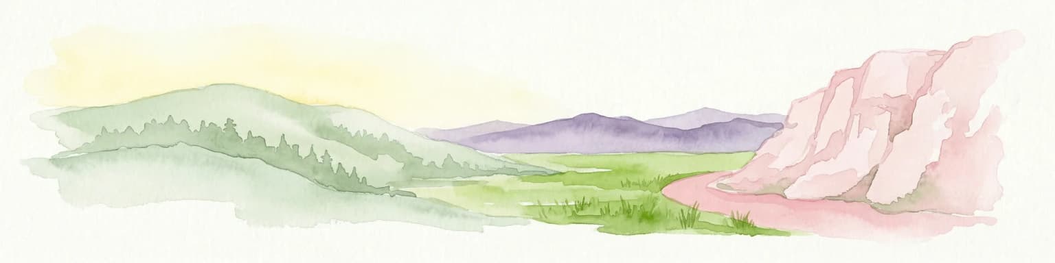
Alta Murgia is best known for its dramatic karst landscape of sinkholes, caves, and dry limestone terrain that creates a unique semi-desert steppe environment in southern Europe. The park shelters one of the last remaining examples of Mediterranean grass steppe, a habitat type that has largely disappeared from the continent. Its most iconic landmark is Castel del Monte, the distinctive octagonal castle built by Emperor Frederick II in the 13th century and now a UNESCO World Heritage Site. The park is also notable for the Lamalunga cave containing the exceptionally preserved remains of Altamura Man, one of the most significant paleoanthropological discoveries in Europe. The steppe landscape provides critical breeding habitat for the lesser kestrel, a small falcon species that has declined significantly across its range.

Alta Murgia National Park history and protected-area timeline

The territory of Alta Murgia has been inhabited since prehistoric times, as evidenced by the discovery of Altamura Man in the Lamalunga cave, a fossil specimen representing one of the most complete Neanderthal remains ever found. The area later became important to Greek and Roman civilizations, with archaeological evidence scattered throughout the park. During the medieval period, the Murgia region saw the construction of numerous fortifications, most notably Castel del Monte, built in the 1240s by Emperor Frederick II. The castle's unusual octagonal design and imposing position on the plateau made it one of the most distinctive medieval structures in Italy. The park was formally established in 2004 as Italy's twenty-third national park, with the stated purpose of protecting the area's natural and cultural heritage. The designation came after years of advocacy by environmental groups and local authorities concerned about development pressures on the plateau. The park authority, based in Gravina in Puglia, manages a territory that encompasses numerous municipalities and coordinates conservation efforts with regional and municipal planning authorities.

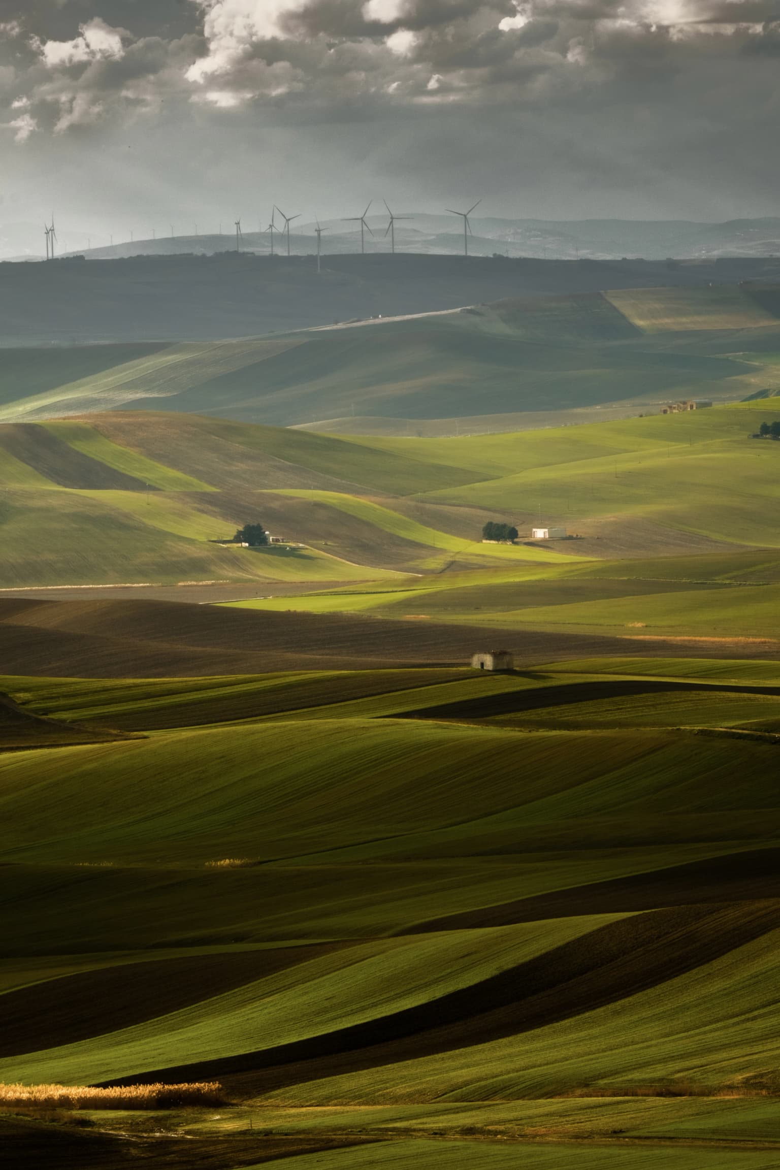
Alta Murgia National Park landscape and geographic character

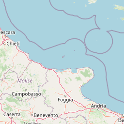
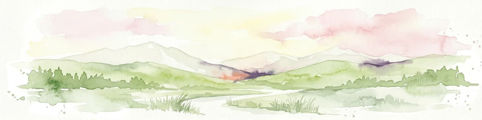
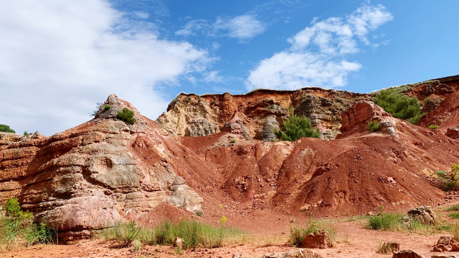
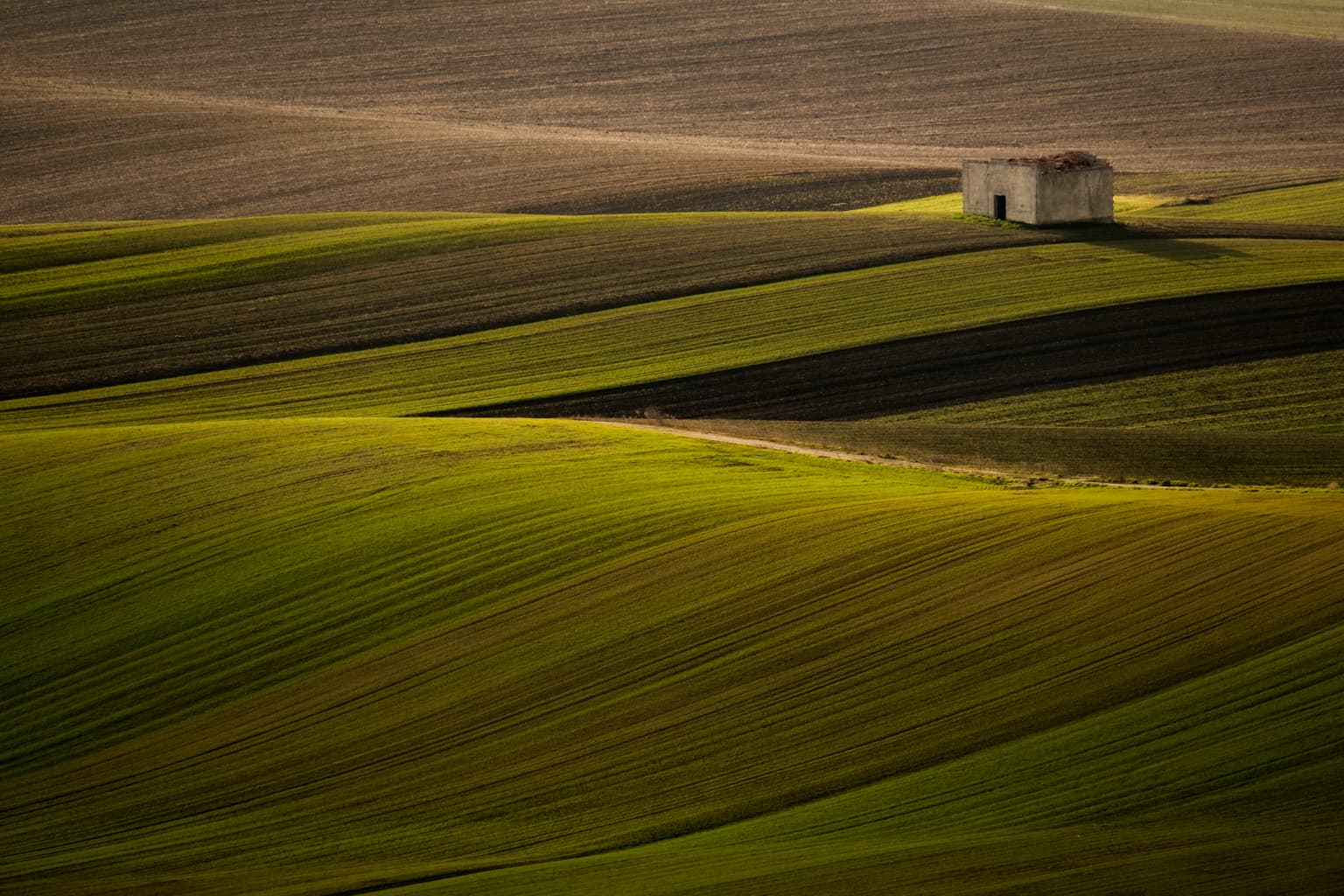
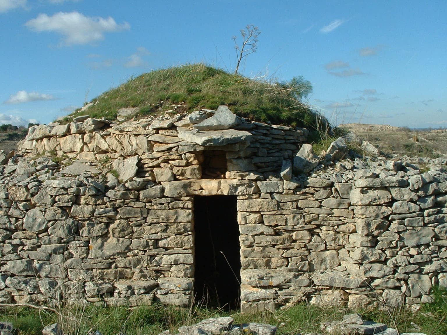
The physical landscape of Alta Murgia is dominated by the Murgia plateau, a vast limestone tableland that rises gently from the coastal plain to elevations around 500-700 meters above sea level. The most striking geological features are the karst sinkholes, locally called puli, which pockmark the plateau surface. Pulo di Altamura, located about six kilometers north of Altamura, represents the largest of these depressions, while Pulicchio di Gravina ranks as the second largest. These sinkholes, formed by the collapse of underground caverns, create a distinctive terrain of steep-sided rocky bowls and chaotic limestone rubble. Between the sinkholes, the landscape alternates between exposed rock surfaces, patches of Mediterranean garrigue, and the more fertile valley floors where seasonal streams have deposited deeper soils. The park also encompasses several pine forest plantations, particularly around Gravina in Puglia and Santeramo in Colle, which add a different texture to the otherwise open landscape. Scattered throughout are the jazzi, traditional stone shelters built by shepherds from dry-stone masonry, which now serve as informal markers of the park's pastoral heritage.

Alta Murgia National Park ecosystems, habitats, and plant life

The ecological character of Alta Murgia is defined by the Mediterranean steppe, a habitat type that has survived here as a relict of post-glacial conditions when steppe grasslands extended much further south in Europe. The park's steppe supports a distinctive plant community dominated by grasses and herbaceous species adapted to the prolonged summer drought. This habitat has become increasingly rare across the Mediterranean as agricultural intensification has converted most former steppe areas to cropland. Within the park, the steppe persists particularly in the flatter areas where shallow soils and rocky substrates have discouraged cultivation. The park is part of a larger network of protected areas designated under the European Union's Birds and Habitats Directives, with the steppe serving as critical breeding habitat for the lesser kestrel, a species listed in Annex I of the EU Birds Directive. Beyond the steppe, the karst caves support specialized subterranean ecosystems, while the forest patches provide additional habitat diversity.

Alta Murgia National Park wildlife and species highlights

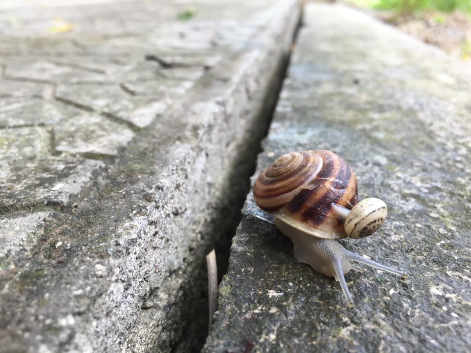
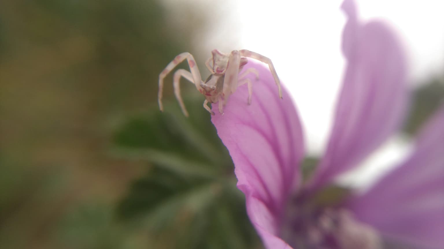
The wildlife of Alta Murgia reflects the park's position at the boundary between Mediterranean and more continental European ecosystems. The steppe grassland is most important for bird species, with the lesser kestrel being the flagship species, nesting colonially in old buildings, caves, and rock crevices across the plateau. The open terrain also supports populations of roller birds, calandra larks, and tawny pipits. Among mammals, the European hare and red fox are common, while the karst caves provide shelter for various bat species. The Mediterranean scrub areas shelter mammals like the European badger and beech marten. Reptiles are well represented, with numerous lizard and snake species adapted to the rocky, sun-exposed terrain. The caves, particularly Lamalunga, have yielded significant paleontological finds including the remains of Altamura Man, a Neanderthal individual whose preservation is exceptional among European fossil sites.

Alta Murgia National Park conservation status and protection priorities

Alta Murgia National Park represents an important conservation tool for protecting one of the Mediterranean basin's last remaining steppe ecosystems. The park's designation as a Special Protection Area under European Union law reflects its significance for the lesser kestrel and other steppe-dependent bird species. The dual protection as both a national park and a Natura 2000 site creates a framework for coordinating conservation measures across the various land uses within the territory. The park authority works to balance habitat protection with sustainable traditional uses, particularly pastoral activities that have helped maintain the open steppe character over centuries. Conservation challenges include the risk of forest expansion onto former steppe areas as pastoral activities decline, the need to manage visitor access to sensitive archaeological sites, and coordination with agricultural policies that influence land use on private property within the park boundary.

Alta Murgia National Park cultural meaning and human context

The cultural landscape of Alta Murgia reflects millennia of human presence in this challenging environment. The prehistoric period left significant archaeological evidence, most famously the Altamura Man fossil but also numerous cave sites and surface finds indicating long-term human occupation. During the medieval period, the Murgia's strategic position between the Adriatic and Ionian coasts led to the construction of numerous castles and fortified settlements, of which Castel del Monte remains the most famous. The traditional economy centered on pastoral activities, with sheep and goats moved seasonally between winter and summer grazing areas, a practice known as transhumance. The jazzi, the distinctive dry-stone structures found throughout the park, served as temporary shelters for shepherds during these movements. The distinctive trulli, the white-walled conical buildings more commonly associated with the nearby Valle d'Itria, also appear within the park territory, representing another element of Apulian vernacular architecture. The park encompasses several historic towns including Gravina in Puglia, Altamura, and Spinazzola, each with their own architectural and cultural traditions.

Top sights and standout views in Alta Murgia National Park

Alta Murgia offers visitors a striking landscape unlike any other in Italy, where the dramatic karst terrain and extended steppe create an almost foreign atmosphere within Europe. The opportunity to explore Castel del Monte, one of Europe's most unusual medieval castles with its distinctive octagonal design, represents a major draw for cultural visitors. The karst sinkholes, particularly Pulo di Altamura, provide dramatic scenery and excellent opportunities for geological observation. The steppe landscape, while perhaps less immediately spectacular than mountain or coastal environments, offers excellent birdwatching opportunities, particularly for observing lesser kestrels during the breeding season. The discovery site of Altamura Man in the Lamalunga cave, while not accessible to the public, represents one of the most important paleoanthropological sites in Europe and adds scientific significance to the park's appeal. The network of hiking trails allows exploration of the various landscapes, from the open steppe to the forested areas and rocky ravines.

Best time to visit Alta Murgia National Park

The optimal time to visit Alta Murgia depends on the experience sought, but spring and autumn generally offer the most comfortable conditions for outdoor exploration. Spring, particularly April and May, brings the steppe into bloom with wildflowers adding color to the grassland while temperatures remain moderate. This period also coincides with the breeding season for lesser kestrels and other birds, making it ideal for wildlife observation. Autumn, especially September and October, offers pleasant temperatures after the summer heat and provides another season of botanical interest. Summer brings high temperatures that can make outdoor activities uncomfortable, though the dry landscape retains a stark beauty. Winter can be cold and wet, but the landscape takes on a different character with winter rains bringing green to the vegetation. The park can be visited year-round, though summer visitors should plan activities for early morning or late afternoon and expect a more austere landscape than the green hills of northern Italy.

Park location guide

Geography guide, regional context, and park location map for Alta Murgia National Park

Alta Murgia National Park park geography, regions, and map view in Italy
Understand where Alta Murgia National Park sits in Italy through a broader geographic reading of the surrounding landscape, nearby location context, and its mapped position within the national park landscape.

How Alta Murgia National Park fits into Italy

Italy is a unitary parliamentary republic in Southern and Western Europe, located on the Italian Peninsula with the Alps to the north. It borders France, Switzerland, Austria, Slovenia, Vatican City, and San Marino, and shares maritime boundaries with several Mediterranean countries. The country has approximately 59 million residents and uses the Euro as its currency.

Wider geography shaping Alta Murgia National Park in Italy

Italy occupies a boot-shaped peninsula in southern Europe, bordered by the Alps to the north. It shares land borders with France, Switzerland, Austria, Slovenia, Vatican City, and San Marino. The country includes the Mediterranean islands of Sicily and Sardinia, along with approximately 800 smaller islands.

Map view of Alta Murgia National Park

Use this park location map to pinpoint Alta Murgia National Park in Italy, understand its exact geographic position, and read its mapped placement within the surrounding landscape more clearly.

Pigeon | © OpenStreetMap contributors

Location context for Alta Murgia National Park

Puglia
Park atlas

Map the surrounding protected landscapes and compare regional park geography across the Apulia region

Explore Other National Parks and Protected Areas Near Alta Murgia National Park
After exploring Alta Murgia National Park's unique karst steppe environment, continue your journey into other protected areas across Southern Italy's Apulia region. Trace the geographic spread of conservation efforts, compare diverse limestone plateaus with other regional parks, and discover connected protected landscapes.
Watercolor illustration showing a landscape with mountains, green forests, and a river under a soft sky
National parkBasilicata

Appennino Lucano - Val d'Agri - Lagonegrese National Park: Protected Mountain Landscape in Basilicata, Italy

Explore its geography, mapped terrain, and ecological role.

Gain insight into Appennino Lucano - Val d'Agri - Lagonegrese National Park, a significant protected mountain landscape in the heart of Basilicata. This detailed page focuses on the park's distinct geographic features, its role as a crucial ecological corridor connecting major southern Italian protected areas, and the mapped contours of its diverse terrain. Understand its place within the Lucano Apennine range and the broader natural atlas of Italy.

Area
689.96 km²
Established
2007
IUCN
II
Relief
Mountain
National parkApulia

Gargano National Park: Apulia's Protected Landscape and Regional Geographic Context

Mapped boundaries and natural terrain of a key Italian national park.

Delve into Gargano National Park, a designated national park situated in the Apulia region of Italy. This protected landscape offers valuable insights into the geography of the Gargano promontory. Through MoriAtlas, users can explore its mapped boundaries, understand its terrain, and connect it to the broader regional geography of southern Italy, providing a solid foundation for protected-area discovery.

Area
1,181.44 km²
Established
1991
IUCN
II
Relief
Mixed relief
Watercolor painting showing mountains, a lake, and grassy fields
National park

Cilento, Vallo di Diano and Alburni National Park: An Italian National Park's Geographic and Protected Landscape Identity

Mapped protected area boundaries and regional context.

Delve into the core geographic and protected-area characteristics of Cilento, Vallo di Diano and Alburni National Park. As a designated National Park in Italy, its mapped boundaries and landscape context are essential for atlas exploration. This entry provides the foundational geographic understanding needed to place this protected land within a broader map-based discovery framework, highlighting its significance as a natural landscape.

Area
1,810.48 km²
Established
1991
IUCN
II
Relief
Mountain
Watercolor illustration showing green hills, a valley, and pink rock formations under a pale sky
National parkBasilicata

Pollino National Park: Protected Landscape of Ancient Forests and Alpine Terrain

Italy's largest national park and UNESCO Global Geopark

Pollino National Park, located in the Basilicata region, is a significant protected landscape renowned for its extensive ancient forests, particularly its rare Bosnian pines, and its dramatic, high-altitude mountain geography. Covering over 1,925 square kilometers, this national park is also recognized as a UNESCO Global Geopark, highlighting its exceptional geological heritage and unique ecosystems. The park's rugged terrain, soaring peaks, and rare ancient trees offer rich opportunities for understanding regional protected areas and mapped natural landscapes in southern Italy.

Area
1,925.65 km²
Established
1992
IUCN
II
Relief
Mountain
Watercolor illustration of a mountainous landscape with green hills, a valley with a river, and distant mountains under a pink and yellow sky
National parkCampania

Vesuvius National Park: Protected Volcanic Landscape in Campania, Italy

Explore mapped boundaries and regional geography.

Discover Vesuvius National Park, a vital protected area safeguarding Italy's iconic active volcano. This page provides essential geographic context, detailed mapped terrain, and insights into the park's unique volcanic landscape within the Campania region. It serves as a key entry point for understanding the park's protected status and its geological significance for structured atlas exploration.

Area
72.59 km²
Established
1995
IUCN
II
Relief
Mountain
Watercolor illustration of a lake surrounded by green landscape with mountains in the background
National parkCalabria

Sila National Park: Protected Landscape and Geographic Context in Calabria

Explore its mapped boundaries and regional natural area.

Sila National Park represents a vital protected landscape within the Calabria region, situated in southern Italy. This page details its specific geographic features and mapped park boundaries, offering a focused view of its place within the broader Italian atlas. Understanding Sila National Park provides insight into the region's natural terrain and the distribution of its protected lands, serving as a key point for geographic discovery.

Area
736.95 km²
Established
2002
IUCN
II
Relief
Mixed relief
Watercolor illustration of rolling hills, green vegetation, and distant mountains under a light sky
Protected area

Lastovo Nature Park: Discover the Adriatic Karst Archipelago's Protected Landscape

Mapped karst terrain, ancient architecture, and natural island geography.

Lastovo Nature Park protects a remote Croatian archipelago characterized by its striking karst landscape, featuring 46 hills and 46 karstic fields. This protected area offers significant natural biodiversity and remarkably preserved cultural heritage, with extensive Holm Oak and Aleppo Pine forests covering over 60% of the island. Explore Lastovo's unique geography, mapped terrain, and its distinct place within the Adriatic region.

Area
46.87 km²
Established
2006
Relief
Upland
Climate
Mediterranean
National park

Mljet National Park: Protected Karst Terrain and Unique Marine Lakes in Croatia

Explore mapped park boundaries and Mediterranean island geography.

Mljet National Park represents a significant protected landscape within the Adriatic Sea, celebrated for its distinctive karst terrain and the extraordinary phenomenon of its saltwater lakes, Veliko and Malo jezero. This national park showcases some of the most intact Mediterranean forests in the region, offering a unique geographic profile for atlas-based discovery. Examine the park's protected status and its relationship to the surrounding island and marine geography.

Area
53 km²
Established
1960
Relief
Lowland
Climate
Mediterranean

Common questions about visiting, size, designation, and location context for Alta Murgia National Park

Alta Murgia National Park FAQs for park facts, access, geography, and protected area context
Find quick answers about Alta Murgia National Park, including protected-area facts, park geography, trail and visitor context, and how the park fits into its surrounding country and regional landscape.
MoriAtlas Explorer

Continue Your Protected Areas Search Across the Global Atlas

Deepen your exploration by continuing the structured search for national parks and protected areas worldwide. Utilize the comprehensive filtering capabilities to compare different conservation landscapes and refine your understanding of global park geography. Discover more about the distribution and characteristics of protected natural areas.

Global natural geography