Mori Atlas logo
National parkSila National Park

Discover the geographic context and park boundaries of this key Calabrian natural area.

Sila National Park: A Mapped Protected Landscape within Italy's Calabria Region

(Parco Nazionale della Sila)

Sila National Park stands as a significant protected area within the scenic Calabria region of southern Italy. This national park offers a unique geographic identity, contributing to the rich tapestry of natural landscapes across the Italian peninsula. As part of Calabria's diverse terrain, the park's mapped boundaries provide a focal point for understanding regional geography and the distribution of protected lands in this historically rich area.

national parkforest protectionmountain landscapeendemic speciesUNESCO biosphere reservewolf habitat
Illustration of a wooden bridge over a lake with pine trees and mountain range in the background

Sila National Park

National park

Park overview

Structured park overview, official facts, and landscape profile for Sila National Park

Sila National Park park facts, protected area profile, and essential visitor context
Review the core facts for Sila National Park, including designation, size, terrain, visitor scale, habitats, and operating context in one park-focused overview.

About Sila National Park

Sila National Park occupies a mountainous plateau in the central portion of Calabria, forming part of the southern Apennines. The territory is geologically complex, with a central granite and metamorphic core surrounded by calcareous hills, creating terrain that resembles the Alps more than typical Mediterranean mountains. The park is divided into three main geographic zones: Sila Grande in the center contains the highest peaks and most extensive forests; Sila Piccola in the south features the impressive Monte Gariglione; and Sila Greca in the north represents the smallest portion with limited inclusion in the protected area. The landscape includes mature forests of Pino laricio, one of the most significant remaining examples of this endemic conifer, alongside beech-dominated woodlands at higher elevations and mixed deciduous forests at lower altitudes. Several artificial lakes created during the early to mid-twentieth century for hydroelectric purposes now serve as important ecological features within the park, providing habitat for waterfowl and contributing to the visual character of the landscape. The park encompasses numerous small rural settlements and agricultural areas where traditional practices such as transhumance and alpine pasturing continue, maintaining cultural connections to the mountain environment.

Quick facts and research context for Sila National Park

Sila National Park lies on the Sila Plateau in the heart of Calabria, southern Italy. The park spans 736.95 square kilometers across 21 municipalities in three provinces. Its highest peaks are Monte Botte Donato (1,928 meters) in Sila Grande and Monte Gariglione (1,764 meters) in Sila Piccola. The park contains three artificial lakes (Ampollino, Arvo, and Ariamacina) that are important habitats for waterfowl. Approximately 80 percent of the park is forested, making it the most heavily forested Italian national park. The wolf (Canis lupus italicus) serves as the park's symbol, representing the recovery of this apex predator after near extinction in the 1970s.

Park context

Deeper park guide and search-rich context for Sila National Park

Sila National Park history, landscape, wildlife, and travel context
Explore Sila National Park through its history, landscape character, ecosystems, wildlife, conservation priorities, cultural context, and seasonal travel timing in a structured park guide built for atlas discovery and search intent.

Why Sila National Park stands out

Sila National Park is best known for its extensive Pino laricio forests, a distinctive subspecies of black pine endemic to the mountains of Calabria. The park protects significant populations of the Apennine wolf, which has made a remarkable recovery following decades of persecution and is now the symbol of the reserve. The landscape features dramatic mountain terrain with peaks exceeding 1,900 meters, deep valleys, and artificial lakes that provide habitat for diverse wildlife. The park also preserves unique endemic plant species adapted to the siliceous soils of the plateau, which more closely resemble Alpine environments than typical Mediterranean settings. Additionally, the park is recognized as a UNESCO Biosphere Reserve, representing the tenth Italian biosphere reserve in the global network.

A large lake bordered by grassy shore and forested mountains under a clear blue sky with scattered clouds
Lago Arvo lake in Sila National Park, Calabria, Italy

Sila National Park history and protected-area timeline

The creation of Sila National Park represents nearly eighty years of legislative discussion and political negotiation. The first proposal for a protected area on the Sila came in 1923 from Calabrian deputy Antonino Anile, who recognized the need to preserve the region's vanishing forests. This initial proposal failed to complete its legislative journey, and the discussion lay dormant for decades. The forests of Sila had been devastated since the late eighteenth century through systematic clearing for agriculture, aided by the first Italian forestry law of 1877, which allowed widespread exploitation of public lands. This deforestation caused severe soil erosion and social conflict between communities seeking land and those protecting forest resources. By the mid-twentieth century, the situation had become critical enough to warrant intervention from the Italian Republic, leading to the creation of the Opera di Valorizzazione della Sila in 1950 to restore damaged forests. In 1968, the Calabria National Park was established as three separate reserves rather than a unified area, reflecting political compromises rather than ecological logic. The modern Sila National Park was formally established through Law 344 of October 8, 1997, and confirmed with the Presidential Decree of November 14, 2002, which created the dedicated management body. The park absorbed the remaining two reserve areas from the former Calabria National Park and now provides comprehensive protection for the entire Sila Plateau ecosystem.

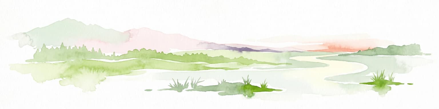
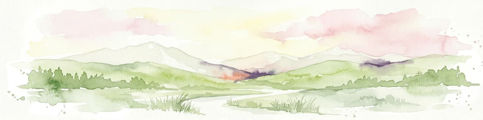
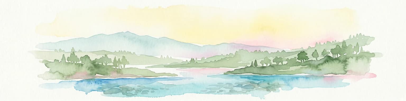
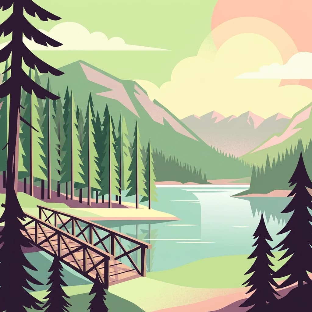
Sila National Park landscape and geographic character

The Sila landscape is dominated by a mountainous plateau that rises abruptly from the surrounding Calabrian terrain. The highest summits include Monte Botte Donato (1,928 meters), Montenero (1,881 meters), Monte Gariglione (1,764 meters), and Monte Curcio (1,768 meters), among others. The geology of the plateau consists primarily of granite and metamorphic rocks in the central areas, with calcareous sedimentary rocks forming the lower slopes and surrounding hills. This geological diversity creates a landscape that resembles Alpine environments more closely than typical Mediterranean mountain systems. The plateau surface is interrupted by numerous valleys carved by the Crati and Neto rivers and their tributaries, as well as their tributaries including the Tacina, Mucone, Savuto, Lese, and Trionto. Three artificial lakes (Lago Arvo, Lago Ampollino, and Lago Ariamacina) dot the landscape, created between 1927 and 1956 for hydroelectric generation. The forest cover, which reaches approximately 80 percent of the park's area, creates a landscape of exceptional natural beauty, particularly in areas where the Pino laricio forms dense, dark stands against the lighter foliage of beech forests at higher elevations.

A clear river flowing through a forest with tall trees and greenery
Neto River flowing through a forested area near San Giovanni in Fiore

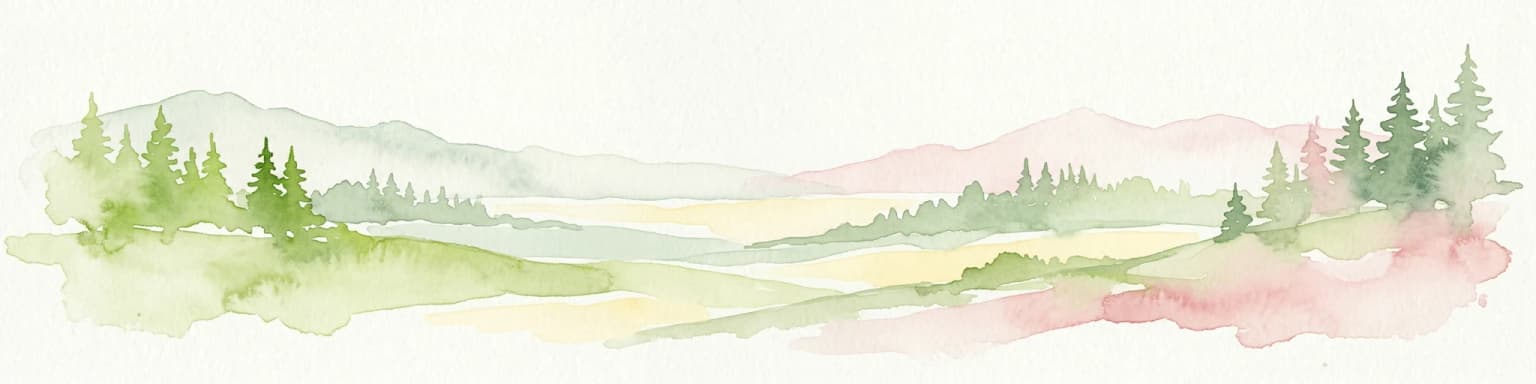
Sila National Park ecosystems, habitats, and plant life

The ecological character of Sila National Park is defined by its extensive forests and the unique biogeographic position of the Sila Plateau. Approximately 80 percent of the park is covered in woodland, the highest percentage of any Italian national park, with Pino laricio forests dominating the montane zone between 1,100 and 1,600 meters elevation. This endemic subspecies of black pine forms nearly pure stands in some areas, creating a distinctive landscape element. Above 1,400 meters, beech forests become dominant, with silver fir occurring in mixture and sometimes forming pure stands in the more humid areas of Sila Piccola. The park's position as a southern peninsula of Europe creates interesting ecological dynamics, with the plateau serving as a southern limit for many species with more northern distributions. The presence of numerous wetlands and bogs at higher elevations supports specialized plant communities including species from the glacial period that survived in these cool, wet habitats. The soil conditions, derived from siliceous granite and metamorphic rocks, differ significantly from the calcareous terrain of the main Apennine range, supporting a distinct vegetation with strong Alpine affinities.

Wooden railing in foreground, still lake reflecting trees and bridge, tall pine trees in background
Wooden bridge spanning a calm lake surrounded by dense forest in Sila National Park

Sila National Park wildlife and species highlights

Sila National Park supports a rich fauna, with the Apennine wolf (Canis lupus italicus) serving as the symbolic species and apex predator. Wolf populations have recovered significantly since the species was near extinction in Italy during the 1970s, with an estimated 15 to 20 individuals organized in three packs now present in the park. The ungulate community includes roe deer, fallow deer (introduced), and wild boar, with red deer successfully reintroduced after being extinct in the area since the early twentieth century. The black squirrel (Sciurus meridionalis), a species endemic to southern Italy, is common throughout the park's forests. The avifauna is particularly diverse, with 147 species documented within the park boundaries, including numerous raptors such as the golden eagle, peregrine falcon, and the vulnerable Egyptian vulture. Waterfowl inhabit the artificial lakes, while the park serves as an important migration corridor along the Sicily-Messina-Calabria flyway. The reptile and amphibian communities include 22 species, representing about 25 percent of Italy's herpetofauna diversity, including the Italian newt and the Apennine yellow-bellied toad.

Green signboard with Italian text 'Parco Forestale dello Stato' and 'La Caserma e la Foresta di Gariglione' mounted on wooden posts, showing forested landscape in the background
Green informational sign for Sila National Park with Gariglione Barracks and forest reference

Sila National Park conservation status and protection priorities

Sila National Park represents one of Italy's most significant conservation achievements, protecting what was once a heavily exploited forest landscape. The park's IUCN Category II designation reflects its primary purpose of protecting natural ecosystems while allowing for sustainable human use. The inclusion of the Sila Plateau in the UNESCO World Network of Biosphere Reserves recognizes its importance as a model of sustainable development combining conservation with human activity. The recovery of the wolf population demonstrates the effectiveness of protective measures, as this apex predator has expanded from the Sila population that survived the persecution of the 1960s and 1970s. The park contains numerous Sites of Community Importance (SICs) and Special Protection Zones (ZPS) as part of the European Union's Natura 2000 network, further ensuring protection of key habitats and species. The extensive forest cover, maintained through both natural regeneration and historical reforestation, provides critical ecosystem services including soil protection, water regulation, and carbon sequestration. Nine strict nature reserves within the park protect the most sensitive areas, including the famous Giganti della Sila reserve with ancient Pino laricio specimens exceeding 350 years of age.

Sila National Park cultural meaning and human context

The Sila Plateau has supported human activity for millennia, though its harsh climate and remote character limited permanent settlement to lower elevations for much of history. The area was historically known as the Selva Brutia, a vast forest that figured in ancient Greek and Roman sources. The foundation of the Abbey of San Giovanni in Fiore in 1189 by the abbot Joachim of Fiore marked the establishment of the first permanent settlement above 1,000 meters on the plateau, which grew into the town of San Giovanni in Fiore. The medieval period saw conflicts between communities seeking to clear forest for agriculture and those protecting woodland resources, a tension that continued through the centuries. Traditional practices including transhumance and alpine pasturing remain active in the park, with shepherd communities moving their flocks between seasonal grazing areas. The park encompasses 21 municipalities where agricultural traditions, particularly potato cultivation (recognized with IGP certification) and livestock raising, continue as important economic activities. The gastronomic heritage includes distinctive cheeses such as caciocavallo silano (DOP) and cured meats from the Calabrian black pig.

A Common Buzzard bird perched on a tree branch with a blurred snowy background
Common Buzzard perched on a branch in Sila National Park

Top sights and standout views in Sila National Park

Sila National Park offers exceptional forest landscapes dominated by the endemic Pino laricio, one of Europe's most distinctive conifers. The recovery of the Apennine wolf represents a conservation success story of national importance. The park's network of nature reserves includes the Giganti della Sila, featuring centuries-old pines among the most impressive trees in Italy. The artificial lakes provide recreational opportunities and habitat for waterfowl and support the elusive otter, which has returned to park waters after being nearly extinct in Calabria. The area serves as a critical migration corridor for birds traveling between Europe and Africa. The winter landscapes transform the plateau into a skiing destination, while summer months offer hiking through pristine forests. The cultural heritage of the park includes medieval abbeys, traditional mountain villages, and ongoing agricultural traditions that connect visitors to centuries of human relationship with this landscape.

Calm lake surrounded by rolling hills under a partly cloudy sky
Lake Ampollino in Sila National Park with mountainous backdrop under partly cloudy sky

Best time to visit Sila National Park

The Sila Plateau can be visited year-round, with each season offering distinct experiences. Summer (June through September) brings warm temperatures ideal for hiking, with the forest trails offering refuge from heat in the valleys. This is the peak season for wildlife activity, and the artificial lakes provide opportunities for boating and fishing. Autumn (October through November) offers spectacular fall foliage as the beech and deciduous forests turn golden, combined with the mushroom harvest season that draws collectors to the woods. Winter (December through February) transforms the landscape with snow, particularly at higher elevations, creating excellent conditions for cross-country skiing at Lorica and Camigliatello Silano. Spring (March through May) brings wildflower displays in the meadows and is an excellent season for birdwatching as migratory species return. The shoulder seasons of May and September-October often provide the most comfortable conditions for hiking and exploring the park's multiple ecosystems without summer crowds.

Park location guide

Geography guide, regional context, and park location map for Sila National Park

Sila National Park park geography, regions, and map view in Italy
Understand where Sila National Park sits in Italy through a broader geographic reading of the surrounding landscape, nearby location context, and its mapped position within the national park landscape.

How Sila National Park fits into Italy

Italy is a unitary parliamentary republic in Southern and Western Europe, located on the Italian Peninsula with the Alps to the north. It borders France, Switzerland, Austria, Slovenia, Vatican City, and San Marino, and shares maritime boundaries with several Mediterranean countries. The country has approximately 59 million residents and uses the Euro as its currency.

Wider geography shaping Sila National Park in Italy

Italy occupies a boot-shaped peninsula in southern Europe, bordered by the Alps to the north. It shares land borders with France, Switzerland, Austria, Slovenia, Vatican City, and San Marino. The country includes the Mediterranean islands of Sicily and Sardinia, along with approximately 800 smaller islands.

Map view of Sila National Park

Use this park location map to pinpoint Sila National Park in Italy, understand its exact geographic position, and read its mapped placement within the surrounding landscape more clearly.

Pigeon | © OpenStreetMap contributors

Location context for Sila National Park

Calabria

Discover the stunning natural scenery, rich forest habitats, and unique protected-area character of Italy's Sila Plateau through captivating imagery.

Explore Sila National Park Photos: Visualizing Calabria's Forest Landscapes and Mountain Scenery
Browse an extensive collection of Sila National Park images to visually understand its distinctive mountain landscapes, ancient Pino laricio forests, and diverse protected environments. These photographs illuminate the park's unique geological features and abundant wildlife habitats, providing crucial context for its conservation significance in the Apennines of Calabria.

A large lake bordered by grassy shore and forested mountains under a clear blue sky with scattered clouds

Map of Italy showing green areas representing national parks and protected areas, with an orange highlight in southern Italy indicating Sila National Park

A clear river flowing through a forest with tall trees and greenery

Wooden railing in foreground, still lake reflecting trees and bridge, tall pine trees in background

Green signboard with Italian text 'Parco Forestale dello Stato' and 'La Caserma e la Foresta di Gariglione' mounted on wooden posts, showing forested landscape in the background

A large lake surrounded by rolling hills and mountainous terrain with forested slopes and grassy fields

A Common Buzzard bird perched on a tree branch with a blurred snowy background

Calm lake surrounded by rolling hills under a partly cloudy sky

Dense beech forest with tall trees, fallen leaves on the ground, and filtered sunlight through the canopy

Tall pine trees, a dirt trail with wooden railings, two people walking in the distance, and dense green foliage

Purple crocuses blooming in a grassy meadow with patches of snow and distant trees

Red-roofed building with white walls and red shutters, wooden cart, and red gazebo on gravel path surrounded by pine trees

Two taxidermied roe deer standing on a grassy mound inside a museum display

Wide landscape view of forested hills with patches of snow, distant mountain ranges under clear blue sky

A calm lake reflecting sunlight with snow-covered mountains and forested hills under a clear blue sky

Grassy clearing surrounded by dense trees with sunlight filtering through the canopy

Park atlas

Discover nearby protected landscapes and compare regional park geography across the Sila Plateau and surrounding Apennine terrain.

Explore Other National Parks and Protected Areas Near Sila National Park, Calabria, Italy
From Sila National Park, browse an expanded list of national parks and significant protected areas located across Italy's southern Apennine mountains and the broader Calabria region. Compare forest ecosystems, mountain landscapes, and conservation efforts to trace the geographic spread of protected terrain and identify related park entities.
Watercolor illustration showing green hills, a valley, and pink rock formations under a pale sky
National parkBasilicata

Pollino National Park: Protected Landscape of Ancient Forests and Alpine Terrain

Italy's largest national park and UNESCO Global Geopark

Pollino National Park, located in the Basilicata region, is a significant protected landscape renowned for its extensive ancient forests, particularly its rare Bosnian pines, and its dramatic, high-altitude mountain geography. Covering over 1,925 square kilometers, this national park is also recognized as a UNESCO Global Geopark, highlighting its exceptional geological heritage and unique ecosystems. The park's rugged terrain, soaring peaks, and rare ancient trees offer rich opportunities for understanding regional protected areas and mapped natural landscapes in southern Italy.

Area
1,925.65 km²
Established
1992
IUCN
II
Relief
Mountain
Watercolor illustration showing a landscape with mountains, green forests, and a river under a soft sky
National parkBasilicata

Appennino Lucano - Val d'Agri - Lagonegrese National Park: Protected Mountain Landscape in Basilicata, Italy

Explore its geography, mapped terrain, and ecological role.

Gain insight into Appennino Lucano - Val d'Agri - Lagonegrese National Park, a significant protected mountain landscape in the heart of Basilicata. This detailed page focuses on the park's distinct geographic features, its role as a crucial ecological corridor connecting major southern Italian protected areas, and the mapped contours of its diverse terrain. Understand its place within the Lucano Apennine range and the broader natural atlas of Italy.

Area
689.96 km²
Established
2007
IUCN
II
Relief
Mountain
Watercolor painting showing mountains, a lake, and grassy fields
National park

Cilento, Vallo di Diano and Alburni National Park: An Italian National Park's Geographic and Protected Landscape Identity

Mapped protected area boundaries and regional context.

Delve into the core geographic and protected-area characteristics of Cilento, Vallo di Diano and Alburni National Park. As a designated National Park in Italy, its mapped boundaries and landscape context are essential for atlas exploration. This entry provides the foundational geographic understanding needed to place this protected land within a broader map-based discovery framework, highlighting its significance as a natural landscape.

Area
1,810.48 km²
Established
1991
IUCN
II
Relief
Mountain
National park

Alta Murgia National Park: National Park Exploration and Protected Landscape Context

Explore mapped terrain and regional geography.

Alta Murgia National Park is a designated national park offering unique opportunities for geographic discovery. Delve into its protected landscape, understand its mapped boundaries, and situate it within the broader Italian atlas. This entry provides essential context for exploring the park's terrain and regional significance.

Area
677.39 km²
Established
2004
IUCN
II
Relief
Mixed relief
Watercolor illustration of a mountainous landscape with green hills, a valley with a river, and distant mountains under a pink and yellow sky
National parkCampania

Vesuvius National Park: Protected Volcanic Landscape in Campania, Italy

Explore mapped boundaries and regional geography.

Discover Vesuvius National Park, a vital protected area safeguarding Italy's iconic active volcano. This page provides essential geographic context, detailed mapped terrain, and insights into the park's unique volcanic landscape within the Campania region. It serves as a key entry point for understanding the park's protected status and its geological significance for structured atlas exploration.

Area
72.59 km²
Established
1995
IUCN
II
Relief
Mountain
Watercolor scene featuring a blue lake, green trees, and mountains under a yellow-pink sky
National park

Karaburun-Sazan Marine Park: A National Park with Dramatic Limestone Cliffs and Island Ecosystems

Explore Albania's protected coastline and marine geography.

Karaburun-Sazan Marine Park, Albania's sole national park, offers a profound exploration of a unique protected landscape. This marine protected area combines the rugged Karaburun Peninsula, characterized by high limestone cliffs, with Sazan Island, Albania's largest island, known for its distinct geology and subtropical climate. The park's waters are critical habitats for endangered species, making it a significant site for marine biodiversity and regional geographic study. Discover the mapped boundaries and ecological context of this vital protected area.

Area
124.377 km²
Established
2010
IUCN
II
Relief
Mixed relief
National parkVlorë County

Llogara National Park: Vlorë County's Dramatic Ceraunian Mountain Protected Landscape

Explore Albania's rugged national park geography and mapped terrain.

Llogara National Park stands as a vital protected area within Vlorë County, Albania, renowned for its spectacular Ceraunian Mountain topography. This page provides access to detailed geographic information, highlighting the park's unique landscape characteristics, from alpine peaks to coastal vistas. Discover the mapped extent of this national park and its significance within the regional geography, perfect for structured atlas exploration.

Area
17.69 km²
Established
1966
IUCN
II
Relief
Mountain
National parkApulia

Gargano National Park: Apulia's Protected Landscape and Regional Geographic Context

Mapped boundaries and natural terrain of a key Italian national park.

Delve into Gargano National Park, a designated national park situated in the Apulia region of Italy. This protected landscape offers valuable insights into the geography of the Gargano promontory. Through MoriAtlas, users can explore its mapped boundaries, understand its terrain, and connect it to the broader regional geography of southern Italy, providing a solid foundation for protected-area discovery.

Area
1,181.44 km²
Established
1991
IUCN
II
Relief
Mixed relief

Common questions about visiting, size, designation, and location context for Sila National Park

Sila National Park FAQs for park facts, access, geography, and protected area context
Find quick answers about Sila National Park, including protected-area facts, park geography, trail and visitor context, and how the park fits into its surrounding country and regional landscape.
MoriAtlas Explorer

Continue Your Protected Areas Search Across the Global Atlas

Deepen your exploration by continuing the structured search for national parks and protected areas worldwide. Utilize the comprehensive filtering capabilities to compare different conservation landscapes and refine your understanding of global park geography. Discover more about the distribution and characteristics of protected natural areas.

Global natural geography