
Mori Atlas logo
Nature reserveWaipoua Forest

A deep analysis of ridgelines, forest catchments, and kauri sanctuary geography in Northland

Waipoua Forest Nature Reserve: Mapping Ancient Kauri Rainforests and Protected Landscapes

Waipoua Forest sits on the wet, western flank of New Zealand's North Island, occupying a broken terrain of ridgelines and stream-dissected valleys. This nature reserve serves as the country's most significant stronghold for mature kauri, preserving an unbroken expanse of subtropical rainforest that provides vital habitat for kiwi populations. The sanctuary represents a unique intersection of Māori cultural heritage and rigorous conservation, protecting an ecological boundary between coastal Northland and the deeper mountainous interior.

kauri forestold-growth rainforestancient treessubtropical rainforestNorthlandmythical trees
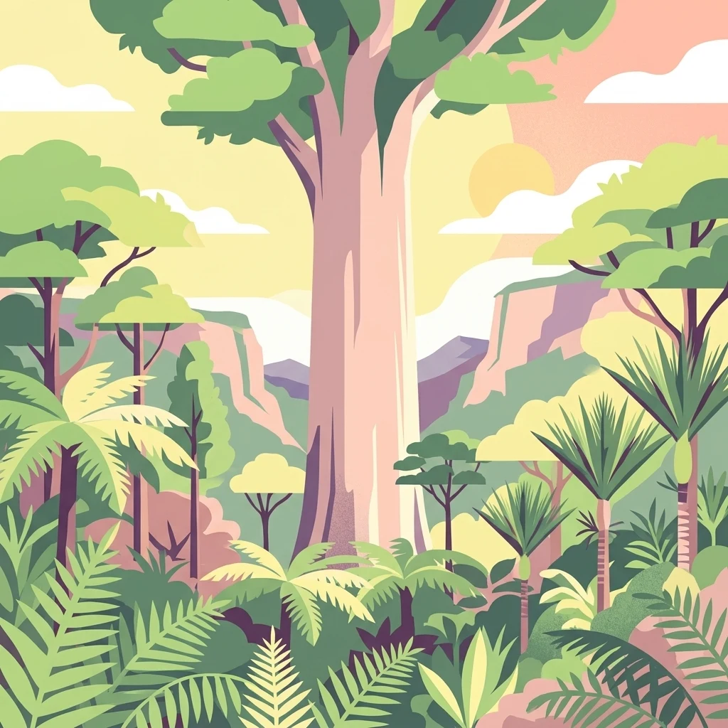
A flat vector illustration of a dense forest scene with a prominent, thick-trunked tree in the center, surrounded by smaller trees and ferns, set against a backdrop of hills under a sunset-colored sky.

Waipoua Forest

Nature reserve

Park overview

Structured park overview, official facts, and landscape profile for Waipoua Forest

Waipoua Forest park facts, protected area profile, and essential visitor context

Review the core facts for Waipoua Forest, including designation, size, terrain, visitor scale, habitats, and operating context in one park-focused overview.

About Waipoua Forest

Waipoua Forest is one of the most important protected natural areas in New Zealand and a landmark of Northland's west coast. Stretching across hilly country inland from the Hokianga, it preserves a sizeable block of subtropical rainforest dominated by kauri, a conifer unique to the northern New Zealand landscape. The forest's defining feature is its age: the stand includes trees of extraordinary antiquity, including Tāne Mahuta and Te Matua Ngahere, which together place Waipoua at the heart of efforts to conserve New Zealand's remaining old-growth kauri.

The site's significance is both ecological and cultural. Ecologically, Waipoua represents the largest contiguous refuge for mature kauri, an increasingly rare habitat type as kauri forests elsewhere were logged, burned, and converted over the past two centuries. Culturally, the forest is a taonga for Te Roroa, whose tupuna purchased back ancestral land in the area and who today act as kaitiaki alongside the Waipoua Forest Trust and the Department of Conservation. The forest is also a major drawcard for visitors, with around two hundred thousand people a year coming to walk among its trees, though that pressure has raised concerns about kauri dieback and forest health.

The surrounding landscape adds to Waipoua's character. The forest sits within a wet, mild climate on rolling west coast hills, with dense understory of ferns, nikau palms, and broadleaf species beneath towering kauri canopies. To the south lies the Professor W. R. McGregor Reserve, while to the north the Warawara Forest continues a chain of protected kauri habitat that together forms the most significant surviving tract of this forest type in the country.

Quick facts and research context for Waipoua Forest

Waipoua Forest lies on the western side of New Zealand's North Island, in the Northland region between Dargaville and the Hokianga. It protects the largest single remaining stand of mature kauri trees in New Zealand and is the home of Tāne Mahuta, the country's largest living kauri by volume, and Te Matua Ngahere, the largest by girth. Roughly three quarters of New Zealand's surviving old-growth kauri grow in Waipoua together with the neighbouring Warawara and Puketi forests.

The forest was proclaimed a forest sanctuary in 1952 after a long public campaign led by William Roy McGregor and conservation groups, ending the State Forest Service's kauri logging in the area. It is now co-managed by the Department of Conservation, the Waipoua Forest Trust, and Te Roroa as mana whenua, and is bordered to the south by the Professor W. R. McGregor Reserve. The climate is mild and very wet, with annual rainfall well over a metre, supporting the lush evergreen kauri-dominated rainforest that defines the forest.

Protection and recognition

Documented terrestrial protection scope and historical designation data

Waipoua Forest Protection Status and Designated Area History

Waipoua Forest maintains a documented terrestrial protection status established in nineteen fifty two. Historical designation records outline the official management scope and formal conservation framework assigned to the protected area.

Protection details

Protection scope
Terrestrial
Designated year
1952
Transboundary protection
No
Park context

Deeper park guide and search-rich context for Waipoua Forest

Waipoua Forest history, landscape, wildlife, and travel context

Explore Waipoua Forest through its history, landscape character, ecosystems, wildlife, conservation priorities, cultural context, and seasonal travel timing in a structured park guide built for atlas discovery and search intent.

Why Waipoua Forest stands out

Waipoua Forest is best known as the guardian of New Zealand's most iconic ancient kauri trees. Tāne Mahuta, often called the Lord of the Forest, is the largest living kauri in the country, while Te Matua Ngahere is the oldest and stoutest, with an estimated age of two to three thousand years. Together these trees have become symbols of New Zealand's natural heritage and draw large numbers of visitors into what is otherwise a dense, atmospheric rainforest. Beyond its giants, the forest is recognised as the single most important stronghold for mature kauri in the country. It is also notable for its unusually large population of North Island brown kiwi and for its protected status, which has shielded a slice of West Coast Northland rainforest from the clearing and burning that destroyed much of the surrounding kauri landscape in the nineteenth and twentieth centuries.
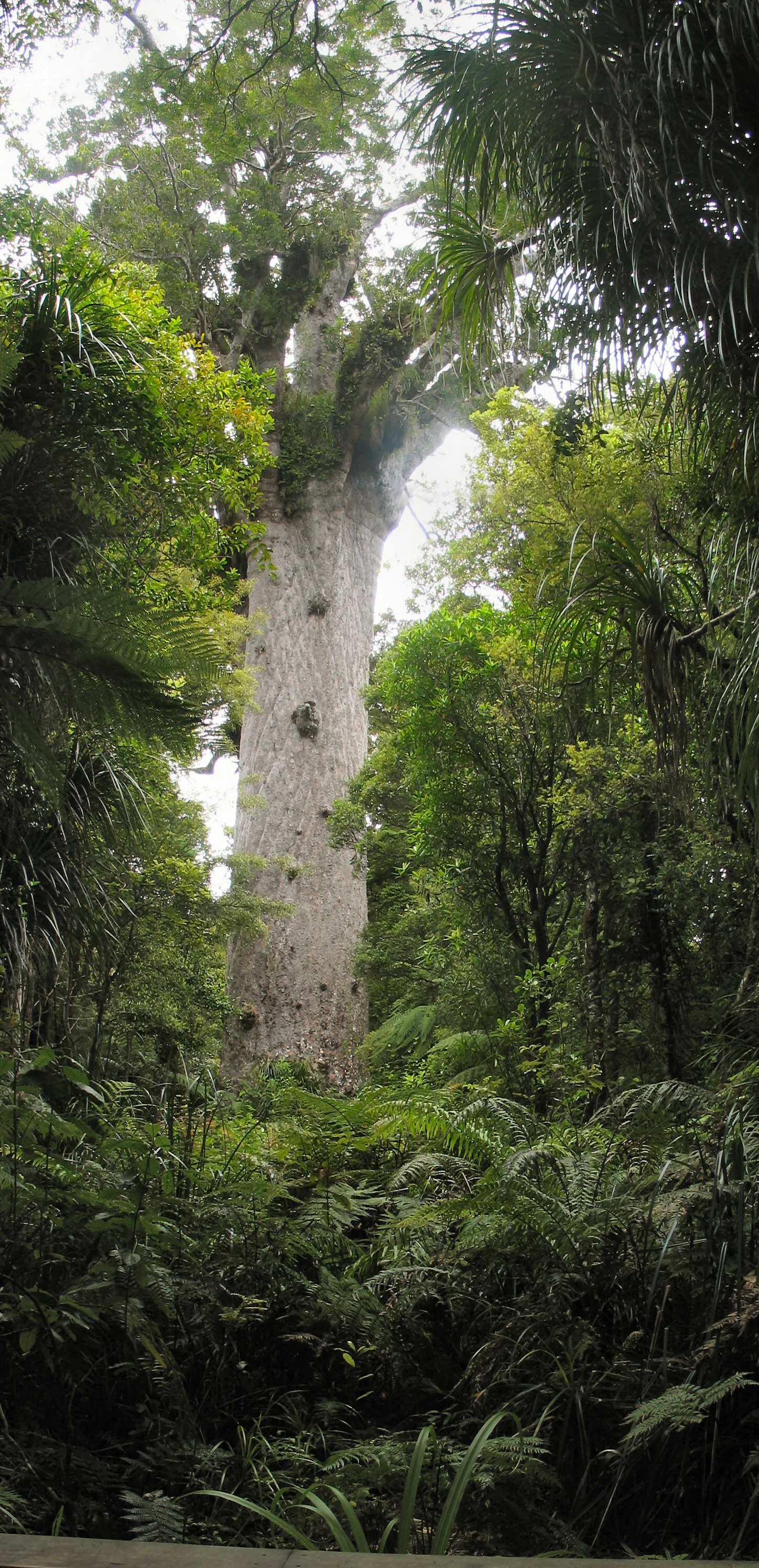
A towering, ancient kauri tree with a massive, smooth, light-colored trunk rising above the surrounding lush, dense rainforest vegetation.
Tāne Mahuta, the largest known living kauri tree in New Zealand, stands in Waipoua Forest.

Waipoua Forest history and protected-area timeline

The land that is now Waipoua Forest was purchased from Māori in 1876, when Tiopira Kinaka of Te Roroa and Parore Te Awha of Te Kuihi sold the Waipoua Block No. 1 for just over two thousand pounds. At that time the block covered roughly eighty square kilometres of mostly untouched kauri forest. In 1885 the area was brought under the State Forests Act, and about ninety square kilometres were constituted as a State Forest Reserve, but the difficult terrain and abundant rainfall kept the forest largely out of reach of early loggers.

By 1907 Waipoua, together with Warawara and a handful of smaller reserves, represented almost the only virgin kauri forest left in public ownership. A Royal Commission on Forestry recommended in 1913 that specially selected areas of Waipoua and all of Warawara be set aside as national kauri forests. Logging nevertheless continued, and in the 1940s it became clear that the State Forest Service was again cutting kauri within Waipoua itself.

A powerful public campaign followed. Led by the Whangarei Progressive Society, the Royal Forest and Bird Protection Society, the Waipoua Preservation Society, and the zoologist William Roy McGregor, the campaign gathered more than forty-three thousand signatures presented to Parliament in a wheelbarrow in 1947. Further petitions resulted in the proclamation of over eighty square kilometres of forest as a sanctuary on 2 July 1952. A road through the forest was opened by Prime Minister Gordon Coates in 1928, but the sanctuary decision effectively ended milling within the reserve.

In the late 1960s, against the spirit of the 1913 recommendations, the National Government allowed clear felling in the adjacent Warawara forest, a practice halted only in 1972 after public outcry from an incoming Labour administration. In 2007 a fire sparked by mussels being cooked on a nearby beach burned more than two square kilometres near the iconic Tāne Mahuta and threatened the forest's core. The Waipoua Forest Trust was established in 1999 as a partnership between the Native Forests Restoration Trust and Te Roroa to coordinate conservation, restoration, and land protection in and around the sanctuary, including the southern McGregor Reserve and the Millennium Kauri Forest created in 2000.

Waipoua Forest landscape and geographic character

Waipoua Forest occupies hilly country on the wet, western flank of New Zealand's North Island, between the Hokianga and the Kaipara. Its terrain is gently to moderately steep, deeply dissected by streams that drain into the Waima and Waipoua catchments and ultimately toward the Tasman Sea. The result is a landscape of ridgelines, sheltered valleys, and a generally broken topography, all cloaked in continuous forest cover.

The climate underpinning this landscape is mild and extremely wet. Long-term rainfall at the Waipoua Visitor Centre exceeds fourteen hundred millimetres a year, with the winter months of June and July bringing the heaviest falls. Temperatures are temperate year round, with mean daily maxima ranging from around fifteen degrees Celsius in winter to the mid twenties in summer, and only occasional light frosts in the coldest months. This combination of consistent moisture, mild conditions, and sheltered topography produces the dense, multi-layered evergreen rainforest for which Waipoua is famous.

Above the ridgelines the high plateau country of the wider forest area provides an interior zone of cooler and more exposed terrain, home to some of the rarer wildlife in the catchment. Patchy wetlands occur along drainages and margins, especially where modified land has been restored, while logged and replanted areas along the boundaries contrast with the relatively intact interior of the sanctuary.
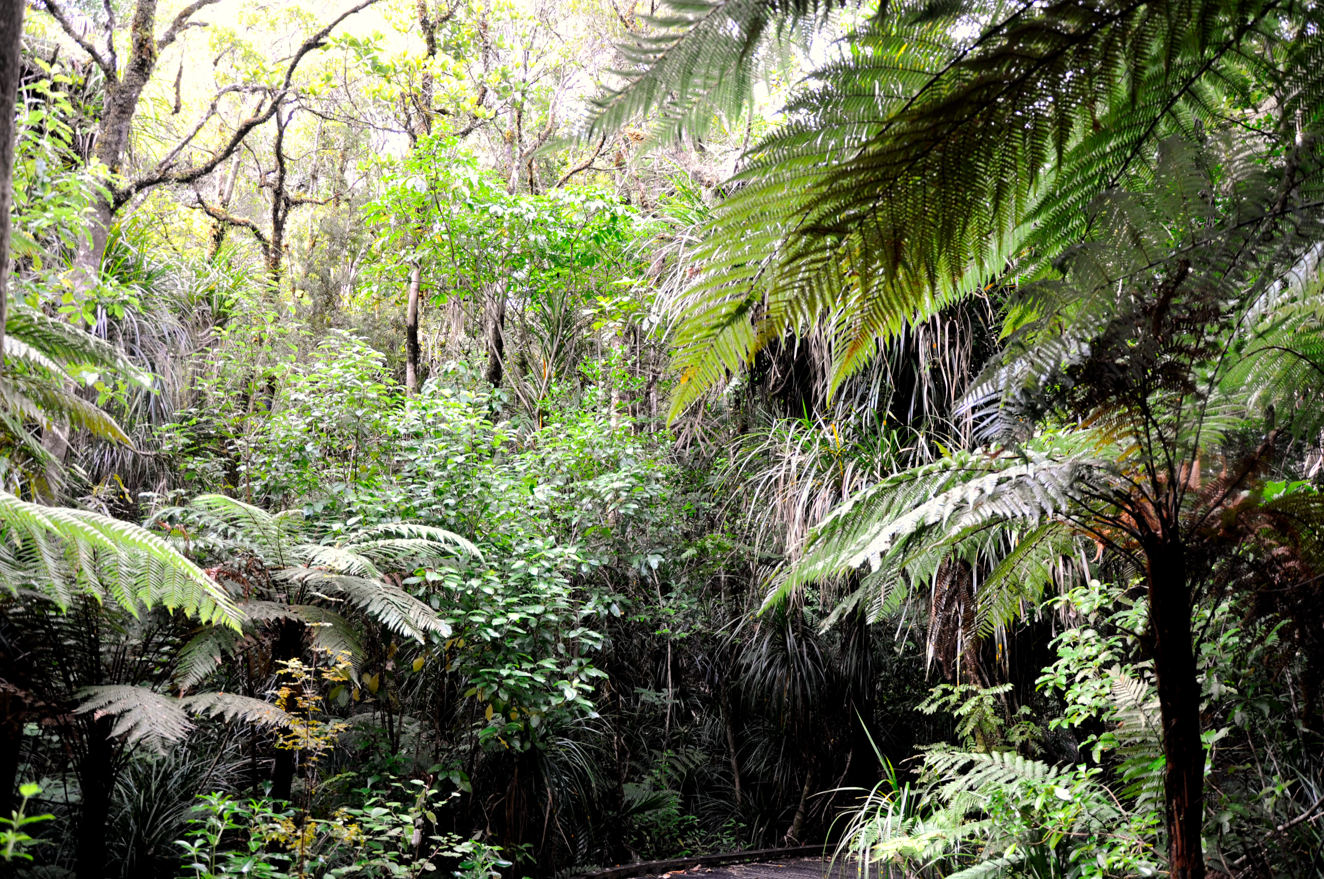
A dense, lush green forest interior featuring large silver fern fronds and various thick vegetation under a canopy of trees.
Dense, verdant understory vegetation in Waipoua Forest, New Zealand.

Waipoua Forest ecosystems, habitats, and plant life

The dominant ecosystem of Waipoua Forest is mature kauri rainforest, a distinctive formation in which emergent kauri tower above a rich canopy and understory of broadleaf trees, tree ferns, palms, and ground ferns. The kauri itself, Agathis australis, is a long-lived conifer endemic to the upper North Island, and Waipoua contains the largest single concentration of mature individuals of this species left in the country. Together with the neighbouring Warawara and Puketi forests it represents roughly three quarters of New Zealand's remaining old-growth kauri.

Beneath the kauri canopy the forest is a layered, almost tropical-looking community. Rimu, rata, taraire, and other broadleaf species mingle with tree ferns and the nikau palm, New Zealand's only native palm. The forest floor is largely shaded and moist, supporting a dense cover of ferns and mosses, while epiphytes drape from branches in damper pockets. Wetland and stream-fringe vegetation adds further diversity at lower elevations and along restoration margins.

The surrounding landscape context shapes the forest's ecology. Because of Waipoua's remoteness and reliable rainfall, it escaped the nineteenth century fires that swept through kauri forest elsewhere in Northland, leaving a comparatively intact example of what was once a far more extensive forest type. Restoration work by the Waipoua Forest Trust and partners is gradually extending this habitat by replanting former farmland and logged margins, helping knit the sanctuary together with adjoining protected areas.

Waipoua Forest wildlife and species highlights

Waipoua Forest is particularly important for its population of North Island brown kiwi, which is recognised as the largest in the Northland region. The forest's dense understory, moist conditions, and relative freedom from heavy predation pressure have helped sustain this population, although occasional events such as the 2007 fire have shown how vulnerable the birds can be when disaster strikes. The trust has also explored establishing a kiwi hatchery as part of efforts to bolster the local population.

Other birdlife is present in the upper forest zones as well, including the endangered North Island kōkako, which inhabits the more remote high plateau country within and around the reserve. Introduced mammals, especially rats and brushtail possums, are an ongoing concern, and the Waipoua Forest Trust runs volunteer programmes to monitor and control these pests. Invertebrate life in the leaf litter, in rotting kauri logs, and on the textured bark of mature trees contributes to a forest ecosystem that is unusually intact for a lowland North Island setting.

Waipoua Forest conservation status and protection priorities

Waipoua Forest's conservation significance is unusually high. The forest safeguards the largest remaining stand of mature kauri trees anywhere in New Zealand, a habitat type that has shrunk dramatically since European settlement due to logging, fire, and land conversion. Although the sanctuary is smaller than the 1913 Royal Commission had recommended, its proclamation in 1952 effectively ended kauri milling within its core and remains one of the landmark outcomes of New Zealand's twentieth-century conservation movement.

Modern management is shared between the Department of Conservation, Te Roroa as mana whenua, and the community-based Waipoua Forest Trust, founded in 1999. The trust has invested heavily in land protection along the southern boundary, most notably through the Millennium Kauri Forest launched in 2000, and operates the adjoining Professor W. R. McGregor Reserve together with the Native Forests Restoration Trust. Volunteers are active in pest control, revegetation, replanting of former farmland, and seed collection.

The forest's biggest current threat is kauri dieback, a disease caused by the fungus-like organism Phytophthora taxon Agathis, which is spread through soil and is difficult to control at sites receiving heavy visitor pressure. Around two hundred thousand people a year visit Tāne Mahuta alone, and managing that foot traffic without further spreading the disease is a central concern of park managers. Fire is another recurrent risk, illustrated by the 2007 blaze that destroyed ecologically significant wetland vegetation and came within three kilometres of Tāne Mahuta.

Waipoua Forest cultural meaning and human context

Waipoua Forest holds deep significance for Te Roroa, the iwi whose ancestral home includes the Waipoua catchment. The land was originally purchased from Te Roroa ancestors in the nineteenth century, and Te Roroa have continued to act as kaitiaki, with representation on the Waipoua Forest Trust alongside conservation partners. The Māori names of the forest's most famous trees carry spiritual weight: Tāne Mahuta is revered as the Lord of the Forest, a reference to the atua Tāne, and Te Matua Ngahere, meaning Father of the Forest, is similarly honoured.

The broader Northland kauri landscape has long been central to Māori identity, with kauri timber historically used for waka and carving, and kauri gum shaping the regional economy. The forest today plays an important role in continuing that relationship between local communities and the land, and educational and visitor programmes frequently work with Te Roroa to interpret the forest's cultural layers alongside its ecological ones. International partnerships, such as the Family of Ancient Trees project linking Waipoua with Yakushima in Japan, have also brought a wider cultural dimension to the forest's conservation story.

Top sights and standout views in Waipoua Forest

Waipoua Forest contains two of the most celebrated trees in the Southern Hemisphere: Tāne Mahuta, the largest living kauri by volume, and Te Matua Ngahere, the largest by girth and an estimated two to three thousand years old. The forest forms part of the largest surviving cluster of mature kauri in New Zealand, alongside Warawara and Puketi, and offers one of the most intact kauri rainforest experiences in the country.

Beyond its giants, Waipoua is notable for the scale of its kiwi population, the cultural significance of the forest to Te Roroa, and the success of the community-led Waipoua Forest Trust in extending protection along its boundaries. Combined with its position on the wild, wet west coast of Northland, it delivers a rainforest experience that contrasts strongly with the more open landscapes elsewhere in the region.

Best time to visit Waipoua Forest

Waipoua Forest can be visited year round, but weather strongly shapes the experience. Summer and early autumn tend to bring drier tracks and warmer temperatures, making walking to Tāne Mahuta and Te Matua Ngahere more comfortable, while winter brings heavier rain, cooler temperatures, and a more atmospheric, misty forest interior. The very high annual rainfall of around fourteen hundred millimetres means wet conditions are possible at any time of year.

Wildlife viewing, particularly of kiwi, is generally easier at night and in quieter seasons when visitor pressure is lower. Visitors should expect to manage around seasonal access and current track conditions rather than peak wildlife seasons.
Monthly climate preview

Long-term representative monthly temperature and precipitation data

Waipoua Forest Climate Normals and Annual Weather Patterns

Waipoua Forest records sustained long-term temperature variations alongside distinct monthly precipitation averages measured at standard coordinate elevations. Examining the complete twelve-month climatology profile reveals precise seasonal shifts across the protected landscape.
Annual mean15 °C
11 °C20 °C
Jan20°
Feb20°
Mar19°
Apr17°
May14°
Jun12°
Jul11°
Aug11°
Sep12°
Oct14°
Nov16°
Dec18°
Warmest month
February

20.3 °C

Coolest month
July

11.3 °C

Wettest month
July

4.5 mm/day

Driest month
November

2.3 mm/day

Park location guide

Geography guide, regional context, and park location map for Waipoua Forest

Waipoua Forest park geography, regions, and map view in New Zealand

Understand where Waipoua Forest sits in New Zealand through a broader geographic reading of the surrounding landscape, nearby location context, and its mapped position within the national park landscape.

How Waipoua Forest fits into New Zealand

New Zealand is an island nation in the southwestern Pacific Ocean comprising two main islands and numerous smaller islands. Located east of Australia across the Tasman Sea, it features varied topography with the Southern Alps running along the South Island and volcanic terrain on the North Island. The country was settled by Maori people between 1280 and 1350, followed by European exploration beginning in 1642, and became a Dominion in 1907 before gaining full independence in 1947.

Wider geography shaping Waipoua Forest in New Zealand

New Zealand lies in the southwestern Pacific Ocean, east of Australia across the Tasman Sea. The country consists of two main islands, the North Island and South Island, plus over 600 smaller islands. The North Island features volcanic plateaus and hills while the South Island is dominated by the Southern Alps mountain range. The country has a long coastline and is surrounded by the Pacific Ocean.

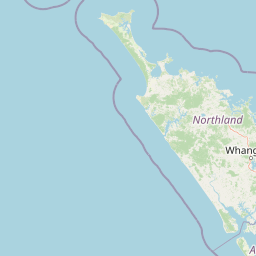
Map view of Waipoua Forest

Use this park location map to pinpoint Waipoua Forest in New Zealand, understand its exact geographic position, and read its mapped placement within the surrounding landscape more clearly.

Pigeon | © OpenStreetMap contributors

Location context for Waipoua Forest

North Island

Explore protected-area views, old-growth rainforest terrain, and iconic ancient kauri tree specimens.

Waipoua Forest Photos and Landscape Scenery: Visualizing Ancient Kauri Habitats

Visual documentation reveals the dense subtropical canopy, rugged ridgelines, and towering ancient kauri trees defining Waipoua Forest. Photographic evidence maps the protected West Coast terrain, ancient forest habitats, and enduring sanctuary landscapes across Northland.

A towering, ancient kauri tree with a massive, smooth, light-colored trunk rising above the surrounding lush, dense rainforest vegetation.

A person in a red jacket stands on a wooden viewing platform looking up at the massive, textured trunk of a towering kauri tree within a dense forest.

A dense, lush green forest interior featuring large silver fern fronds and various thick vegetation under a canopy of trees.

Park atlas

Compare adjacent forest reserves, ancient kauri strongholds, and regional reserves

Exploring Parks Near Waipoua Forest and Surrounding Protected Landscapes

Discover other parks near Waipoua Forest to examine connected old-growth rainforests and regional protected landscapes across Northland. Comparing nearby terrain provides broader context on New Zealand west coast conservation areas and subtropical catchments.
Nature reserveNorthland Region
About 21 km away#1 closest

Southeast

Kai Iwi Lakes Reserve: A Detailed Look at Northland's Freshwater Dune Lake Geography

Nature reserve featuring dune-formed lake basins and native scrub

Kai Iwi Lakes Reserve is a notable nature reserve in the Northland region, centered on the freshwater lakes of Taharoa, Kaiiwi, and Waikare. This protected area offers insight into sand-sculpted geomorphology, with lake basins formed by windblown dunes and surrounded by a diverse mix of native forest, pine stands, and pastoral land, providing a clear window into Northland's unique inland water geography.

Area
5.38 km²
Relief
Lowland
Climate
Temperate
Access
Moderate access
Nature reserveNew Zealand
About 67 km away#2 closest

East

Waro Limestone Scenic Reserve: Karst Landscapes and Cultural Heritage in Northland, New Zealand

A study in geological formations and industrial history.

Waro Limestone Scenic Reserve offers a concentrated look at Northland geography, featuring vertical limestone outcrops and a flooded quarry set within rural farmland. As a protected nature reserve, it serves as a site of significant Māori cultural heritage while also preserving remnants of early New Zealand industrial activity, such as coal mining and lime extraction, which shaped the surrounding terrain.

Relief
Upland
Climate
Subtropical
Scope
Terrestrial
Water
Minor water
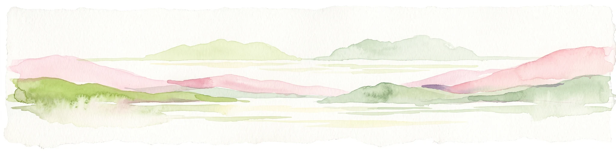
A pale, minimalist watercolor painting depicting soft green and pink hilly island silhouettes rising from a calm, white-toned sea.
Marine protected areaNew Zealand
About 104 km away#3 closest

East

Poor Knights Islands Marine Reserve: Geography and Marine Protected Area Atlas

Exploring coastal cliffs and underwater volcanic terrain

The Poor Knights Islands Marine Reserve encompasses a protected 1,890 hectare marine environment renowned for its steep underwater walls and tunnel systems. Located off the coast of New Zealand, this reserve serves as a critical study area for marine conservation and ecosystem recovery. Explore the geological features, including the Northern Arch and rugged offshore rock stacks, which distinguish this maritime landscape.

Area
18.9 km²
Established
1981
Access
Access unknown
Scope
Marine
Regional parkAuckland Region
About 109 km away#4 closest

Southeast

Te Ārai Regional Park: Mapping Coastal Dune Systems and Protected Geography in Auckland

A protected coastal landscape featuring expansive dune systems and northern headlands.

Te Ārai Regional Park sits as a major protected coastal area on the northern edge of the Auckland Region. Its primary defining feature is an expansive system of sand dunes that anchor a diverse coastal environment. Extending southward toward Poutawa Stream and bordered by the Mangawhai Forest, the park represents a critical geography for endangered species breeding and provides a distinct topographic profile along the North Island coast.

Established
2008
Relief
Lowland
Climate
Subtropical
Access
Easy access
Nature reserveNorthland Region
About 110 km away#5 closest

East

Poor Knights Islands Nature Reserve: Mapped Volcanic Geography and Protected Coastal Landscapes

A rugged island chain offshore from New Zealand's Northland Region.

The Poor Knights Islands serve as an essential protected landscape characterized by sheer volcanic cliffs, natural arches, and extensive sea cave systems. Rising sharply from the sea, these uninhabited islands function as a vital sanctuary for seabirds and native flora, providing a unique look into the deeply eroded remnants of ancient rhyolitic volcanic activity within New Zealand.

Area
2.714 km²
Established
1975
IUCN
Ia
Relief
Upland
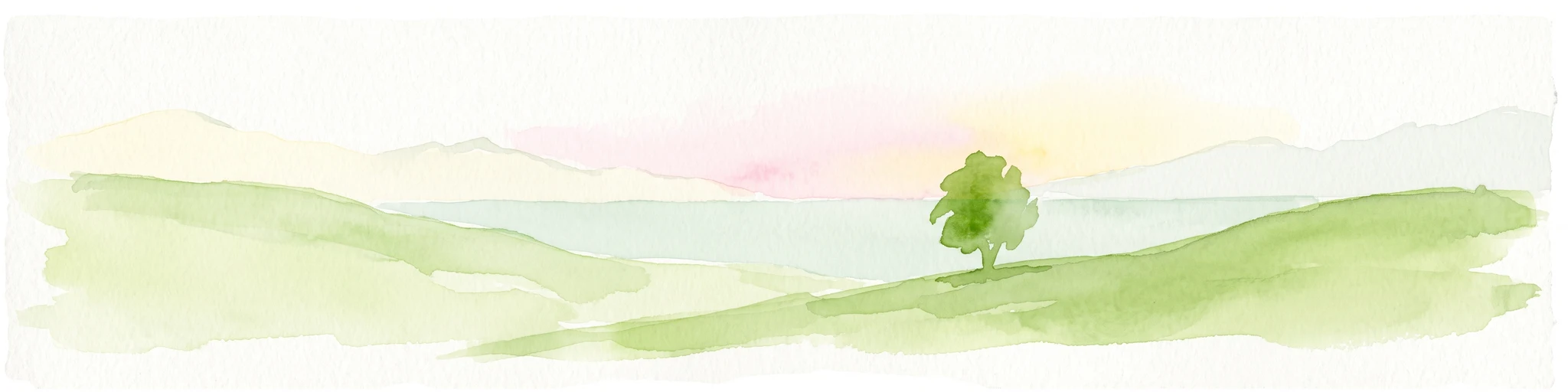
A watercolor illustration of a soft green hilly landscape with distant peaks against a white background.
Nature reserveNew Zealand
About 111 km away#6 closest

East

Hen and Chicken Islands Nature Reserve: Mapped Geography and Protected Island Terrain

Archipelago sanctuary and volcanic landscape offshore of New Zealand

Explore the geographic structure of the Hen and Chicken Islands, an uninhabited nature reserve that serves as a vital predator-free sanctuary. The archipelago displays varied volcanic terrain, from the dramatic central ridge of Hen Island to the rugged rocky reefs of the Marotiri islets, offering a clear window into the ecological conservation landscapes of the Northland region.

Area
8.44 km²
Established
1908
Relief
Highland
Climate
Subtropical
Regional parkAuckland Region
About 112 km away#7 closest

Southeast

Te Rau Pūriri Regional Park: Geography and Protected Land Overview for Auckland Region

Coastal harbour landscape and native forest recovery zones

Te Rau Pūriri Regional Park occupies a strategic position on the South Kaipara Head, serving as a protected corridor between agricultural land and the expansive Kaipara Harbour. The park serves as an atlas-worthy example of ecological transition, featuring sandy bays, eucalyptus stands, and native pūriri forests that provide habitat stability within the wider Auckland coastal geography.

Area
2.49 km²
Established
2006
Relief
Lowland
Climate
Temperate
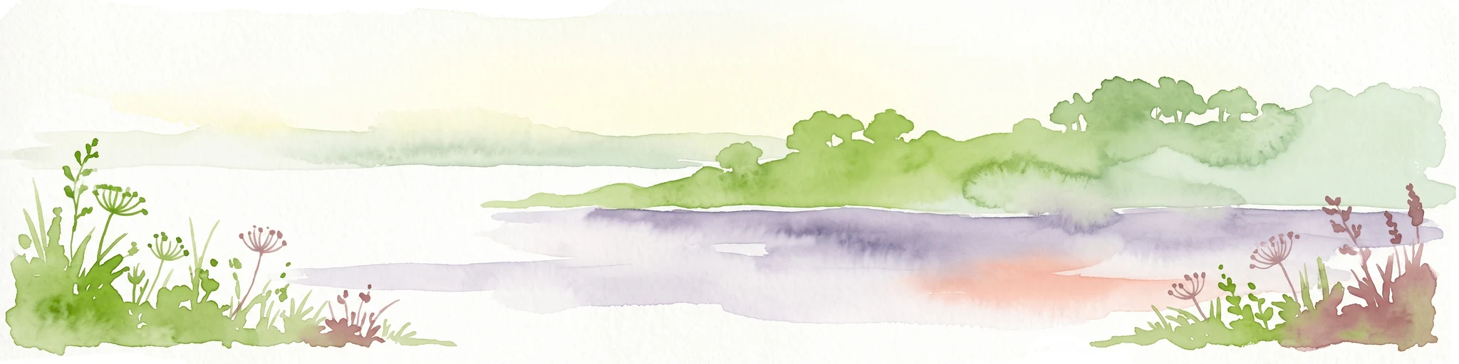
A watercolor painting showing a soft, bright landscape with green grasses and wildflowers on both sides of a calm, pale blue body of water, with a green coastline in the distance.
Marine protected areaNew Zealand
About 129 km away#8 closest

Southeast

Cape Rodney-Okakari Point Marine Reserve: New Zealand Marine Protected Area Geography

Mapped coastal boundaries and marine ecosystem terrain

Delve into the geography of Cape Rodney-Okakari Point Marine Reserve, where protected waters meet a complex interface of greywacke bedrock and sandy substrates. This assessment highlights the ecological transition from exposed rocky headlands to sheltered Whangateau Harbour, illustrating the structural depth of New Zealand's foundational marine site through its diverse invertebrate and fish habitats.

Area
5.5 km²
Established
1975
IUCN
Ia
Visitors
200K annual

Common questions about visiting, size, designation, and location context for Waipoua Forest

Waipoua Forest FAQs for park facts, access, geography, and protected area context

Find quick answers about Waipoua Forest, including protected-area facts, park geography, trail and visitor context, and how the park fits into its surrounding country and regional landscape.
MoriAtlas Explorer

Continue Your Protected Areas Search Across the Global Atlas

Deepen your exploration by continuing the structured search for national parks and protected areas worldwide. Utilize the comprehensive filtering capabilities to compare different conservation landscapes and refine your understanding of global park geography. Discover more about the distribution and characteristics of protected natural areas.

Global natural geography