
Mori Atlas logo
Nearby park discovery

Explore nearby park boundaries and the natural terrain across the Tauberland region

Regional Protected Areas and Geographic Landscapes Surrounding the Weikersheim Protected Landscape

Locate protected lands and significant natural sites within the geographic vicinity of Weikersheim in the Baden-Württemberg region. This mapping provides a regional overview of nearby protected landscapes and terrain features to help visualize the distribution of conservation areas throughout the Tauberland. Users can trace geographic relationships between these sites and identify surrounding protected landscapes within the broader state context.

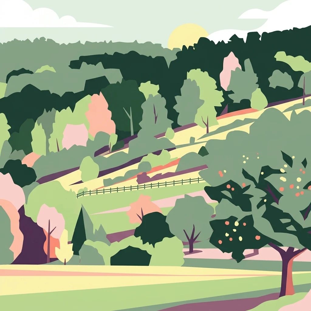
A graphic illustration of a hilly, verdant landscape featuring rolling fields, fruit trees, and dense woodland under a pale sky.

A rolling Tauberland landscape of stone ridges, forested valleys, and near-natural stream systems in northern Baden-Württemberg.

Weikersheim Protected Landscape

The Weikersheim Protected Landscape is a roughly 2,718-hectare protected landscape area in the Main-Tauber-Kreis district of Baden-Württemberg, Germany. It spans the municipal territories of Bad Mergentheim, Creglingen, Niederstetten, and the town of Weikersheim itself, covering a wide stretch of the Tauberland natural region. The area was designated on 19 May 1993 under the regional council of Stuttgart and is classified as an IUCN Category V protected landscape. Its purpose is to preserve the distinctive mosaic of slopes, valleys, and traditional land use elements that characterise this part of the Tauberland, while also serving as a recreational landscape for the surrounding communities. The protected landscape is notable for its Steinriegel, or stone ridge formations, near-natural streams, deep wooded Klingen valleys, and a varied patchwork of habitats on sloping terrain. These features give the area both scenic value and ecological importance, supporting biodiversity and providing high-quality biotopes within an intensively farmed region.

Location
Germany
Park type
Protected landscape
Established
1993
Area
27.2 km²
Weikersheim Protected Landscape Atlas
Regional park map

See the ranked park cluster in its geographic setting

Nearby parks around Weikersheim Protected Landscape

This regional map shows the same 20 nearby parks ranked below around Weikersheim Protected Landscape. Select a ranked marker to highlight that park’s boundary where boundary data is available.
Reference park: Weikersheim Protected LandscapeRanked nearby park20 nearby parks shown
20 nearby parks

Explore surrounding landscapes, geographic separation, and regional park proximity data.

Ranked Protected Areas and Parks Geographically Near Weikersheim

Examine the ranked collection of protected areas situated geographically near Weikersheim by boundary separation and directional coordinates. Evaluate regional park geography and recorded environmental traits to compare surrounding conservation landscapes across Germany.
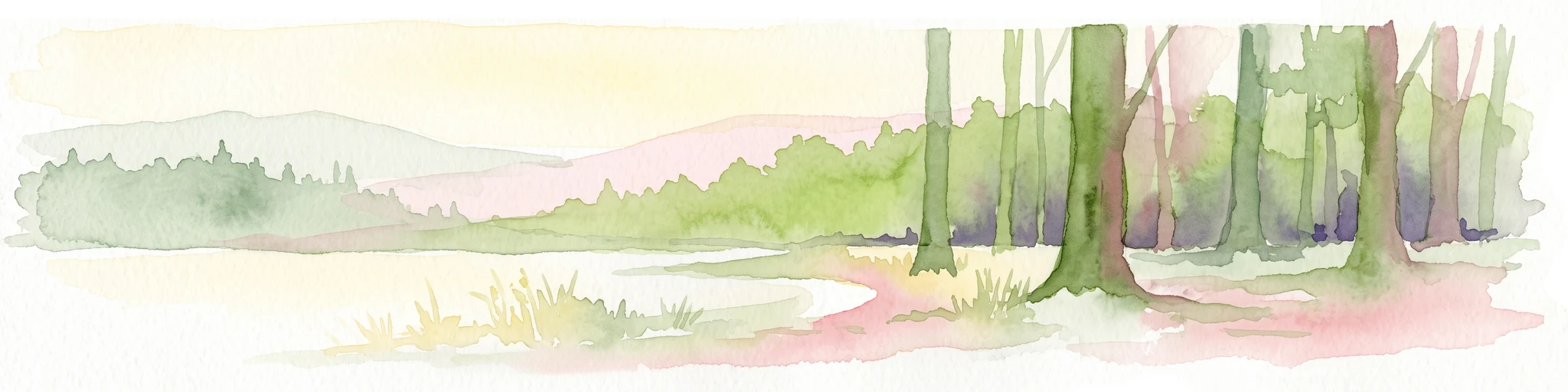
A wide watercolor illustration showing a landscape of rolling green hills and trees under a pastel pink and yellow sky.
Protected landscapeGermany
About 11 km away#1 closest

South

Niederstetten (Landschaftsschutzgebiet) Protected Landscape Map and Regional Terrain Data

Protected landscape and topographic features in Baden-Württemberg

Covering 1,786 hectares, the Niederstetten (Landschaftsschutzgebiet) serves as a vital protected landscape within the Hohenlohe region. It is recognized for its deeply incised side valleys, stream-fed corridors, and traditional dry-stone wall boundaries that define this portion of the German countryside.

Area
17.86 km²
Established
1992
Relief
Upland
Climate
Temperate
A soft watercolor illustration of rolling hills and gentle terrain in shades of pale green and muted earth tones against a white background.
Protected landscapeMittelfranken
About 12 km away#2 closest

East

Naturpark Frankenhöhe Protected Landscape: Geography, Map, and Regional Conservation Context

Explore the diverse natural terrain of the Mittelfranken region in Bavaria.

Naturpark Frankenhöhe serves as a significant protected landscape in western Mittelfranken, encompassing a unique mosaic of forests, vineyards, and agricultural valleys. This geographic entity is shaped by the European Main Watershed, where rivers divide between the Rhine and Danube systems. Its terrain provides a study in transitions, from higher forested crests to open orchard meadows that define the local Bavarian countryside.

Area
1,104.06 km²
Established
1974
Relief
Mixed relief
Climate
Temperate
A watercolor illustration of rolling hills in shades of purple and green against a white background.
Nature reserveBaden-Württemberg
About 17 km away#3 closest

Southwest

Jagsttal Dörzbach-Krautheim Protected Area: Landscape Geography and Atlas Map Context

Nature reserve featuring karst features and riparian corridors

Spanning the Jagst river valley in Baden-Württemberg, Jagsttal Dörzbach-Krautheim showcases a sophisticated mosaic of dry calcareous grasslands and wet floodplain woodlands. This atlas entry focuses on the park boundary geography, identifying the intersection of limestone scree slopes, plateau forests, and karst caves that create its distinct ecological profile. Gain a comprehensive view of how these features form a vital conservation link within the regional river network.

Area
17.502 km²
Established
2005
Relief
Mixed relief
Climate
Temperate
Watercolor painting of a river winding through a gentle green valley with distant hills.
Nature reserveBaden-Württemberg
About 26 km away#4 closest

South

Jagst bei Kirchberg und Brettach Nature Reserve: Protected River Landscapes of Baden-Württemberg

River valleys, calcareous grasslands, and limestone terrain in Southwestern Germany.

The Jagst bei Kirchberg und Brettach nature reserve preserves a diverse corridor of natural river meanders, floodplain meadows, and beech forests. Situated in the Baden-Württemberg region, this protected area spans nearly 900 hectares, offering a rich study in limestone geology and riparian ecology within the Kocher-Jagst plains.

Area
8.93 km²
Established
2019
Relief
Upland
Climate
Temperate
Nature reserveBaden-Württemberg
About 31 km away#5 closest

Southwest

Jagsttal bei Schöntal und Klosterwald: Protected Nature Reserve Landscape Overview

Geographic profile of the Jagst-Kocher plateau in Baden-Württemberg

Spanning the high plateau between the Jagst and Kocher rivers, this protected area features a unique vertical transition from continuous beech forest canopy to steep ravines and calcareous valley slopes. The landscape encompasses a complex mix of traditional orchard meadows, dry grasslands, and specialized freshwater tufa springs, serving as a representative example of the regional ecological heritage in southwest Germany.

Area
12.605 km²
Established
2019
Relief
Upland
Climate
Temperate
A soft watercolor painting of a river valley with green fields, distant hills, and a prominent tree in the foreground on the right.
Protected areaBaden-Württemberg
About 35 km away#6 closest

South

Bühlertal Vellberg-Geislingen: Protected River Valley and Karst Geography

A concentrated habitat corridor in Baden-Württemberg

This protected area follows the Bühler river through a series of tight meanders and dramatic limestone formations. The landscape is characterized by a transition from wet floodplain woods and tall-herb fringes to dry calcareous grasslands and hillside forests. Covering over 800 hectares, the site serves as a vital ecological link across the Kocher-Jagst plains and the forested ridges of the Schwäbisch-Fränkische Waldberge.

Area
8.474 km²
Established
2019
Relief
Upland
Climate
Temperate
A horizontal watercolor illustration depicting a soft, pastel landscape with rolling hills in the background, a small pond, and several green and light pink flowering trees.
Nature reserveBaden-Württemberg
About 35 km away#7 closest

South

Crailsheimer Hart und Reusenberg: Protected Nature Reserve and Karst Landscape Geography

Jagst valley protected habitat in Baden-Württemberg

Crailsheimer Hart und Reusenberg represents a key conservation unit in southwest Germany. This nature reserve is recognized for its distinctive gypsum keuper geology, which creates a network of dolines, semi-dry grasslands, and near-natural floodplain forests. Understanding its boundaries provides insight into habitat connectivity within the broader Baden-Württemberg protected-area network.

Area
7.14 km²
Established
2019
A watercolor illustration depicting a soft, rolling landscape of green hills, distant mountain silhouettes, and a winding stream.
Protected areaBavaria
About 38 km away#8 closest

Northeast

Naturwald Speckfeld: Protected Forest Reserve and Steigerwald Geographic Detail

Broadleaf woodland and gypsum ridge landscapes in Bavaria

Naturwald Speckfeld offers a look into unharvested forest dynamics within the Steigerwald mountains. This protected area stands out for its steep topography, historical castle ruins, and rare broadleaf woodland transitions, providing a critical reference point for natural forest conservation in the Lower Franconia region of Bavaria.

Area
0.195 km²
Established
1978
Relief
Upland
Climate
Temperate
Watercolor painting of a green forested landscape with soft rolling hills in the background.
Nature reserveBavaria
About 39 km away#9 closest

Northeast

Naturwald Schwarzacher Tännig: Protected Oak Forest and Regional Landscape Context

Natural forest reserve in the Steigerwaldvorland of Bavaria

Naturwald Schwarzacher Tännig stands as a dedicated nature reserve in Bavaria, focused on the preservation of old-growth oak habitats. By removing this state forest area from active timber production, the reserve supports essential natural regeneration and structural biodiversity. The site functions as a key element within the regional ecological network of the Steigerwald foothills, illustrating the importance of small protected areas for maintaining diverse lowland forest habitats.

Area
0.095 km²
Established
2021
Relief
Upland
Scope
Terrestrial
Protected landscapeBaden-Württemberg
About 40 km away#10 closest

Northwest

Wertheim Protected Landscape: Regional Geography and Sandstone Plateau Mapping

An enduring protected landscape within the Main-Tauber district of Baden-Württemberg.

Spanning 39 square kilometers across the towns of Wertheim, Freudenberg, and Külsheim, this protected area safeguards a classic Main-Franconian sandstone countryside. Its rolling plateau, shaped by red sandstone geology, integrates historic land use patterns with diverse woodland patches, meadows, and river valley streams to preserve a coherent regional landscape.

Area
38.98 km²
Established
1979
IUCN
V
Relief
Upland
A watercolor painting of a rolling landscape with scattered trees, grasslands, and soft rolling hills in the background, rendered in pale pastel tones.
Nature reserveUnterfranken
About 41 km away#11 closest

Northeast

Sande am Tannenbusch bei Kleinlangheim Nature Reserve: Protected Area and Atlas Overview

Geography of the Steigerwaldvorland sand landscape

Discover the ecological composition of Sande am Tannenbusch bei Kleinlangheim, a nature reserve in Unterfranken defined by its inland sand deposits and fragmented woodland footprint. This site is significant for its sand grassland mosaic, serving as a primary habitat for farmland birds and representing a specialized enclave within the broader Klosterforst region.

Area
0.382 km²
Established
1995
IUCN
IV
Relief
Lowland
A watercolor painting of a gentle landscape showing grassy plains, distant rolling hills, and patches of trees.
Nature reserveBayern
About 44 km away#12 closest

Northeast

Sandfluren bei Volkach, Schwarzach am Main und Sommerach: Protected Sand Habitats

Inland dune formations and xerothermic grasslands in Bayern

Located in the Main valley, this nature reserve is defined by its inland sand dunes and drift sand flats that provide a refuge for specialized flora and fauna. As a designated Geotop and Natura 2000 site, it offers a distinct study of arid habitats surviving within an agricultural landscape. Explore the geographic boundaries and terrain mosaic that make this protected area a noteworthy feature of the Lower Franconian environment.

Area
1.048 km²
Established
1989
IUCN
IV
A soft, light watercolor painting of a pastoral landscape with rolling green fields, scattered trees, and distant hills under a pale yellow sky.
Nature reserveBavaria
About 47 km away#13 closest

North

Sandgrasheiden am Elgersheimer Hof Nature Reserve and Main Valley Protected Landscapes

Rare sand grassland geography and conservation status in Lower Franconia, Bavaria

Sandgrasheiden am Elgersheimer Hof protects two distinct parcels of sand grassland, a rare habitat type that provides a refuge for specialized plant communities like Jurinea cyanoides. Situated within the Maintal between Schweinfurt and Dettelbach, the reserve creates a critical ecological link between agricultural plains and riverine meadow landscapes. This atlas entry details the geographic context and habitat mosaic of this significant Bavarian nature reserve.

Area
0.035 km²
Established
1999
IUCN
IV
Watercolor painting of a winding river valley surrounded by rolling green hills.
Nature reserveBaden-Württemberg
About 52 km away#14 closest

West

Elzbachtal und Odenwald Neckargerach Nature Reserve: Regional Geography and Habitat Atlas

A protected landscape bridging the Odenwald and Neckar Valley.

Elzbachtal und Odenwald Neckargerach serves as a core conservation unit within Baden-Württemberg. This area features a striking geomorphological contrast between river-carved slopes and high-plateau forests, offering a detailed case study in Central European ecosystem protection and terrain dynamics.

Area
16.436 km²
Established
2019
Relief
Upland
Climate
Temperate
Protected landscapeBaden-Württemberg
About 52 km away#15 closest

Northwest

Freudenberg Protected Landscape: Regional Geography and Main Valley Conservation Mapping

Main-Tauber-Kreis protected land and river valley mosaic.

Freudenberg represents a significant protected landscape in Baden-Württemberg, spanning the confluence of historical settlement patterns and natural river corridors. This area preserves the integrity of the Main Valley through careful stewardship of open fields, wooded ridges, and traditional orchard landscapes that define the local regional character.

Area
17.032 km²
Established
1979
IUCN
V
Scope
Terrestrial
Watercolor painting showing rolling green hills, trees in the midground, and purple-tinted mountains in the background against a white backdrop.
Nature reservePrichsenstadt
About 53 km away#16 closest

Northeast

Naturwald Krackentännig Nature Reserve: A Protected Forest Landscape in Northern Bavaria

Geography of the Steigerwaldvorland and Gänsseegraben valley floor

Situated near Prichsenstadt, Naturwald Krackentännig acts as a refuge for ash and alder trees that thrive in the moist soils of the Lower Franconian countryside. This nature reserve provides a critical example of undisturbed forest development, showcasing a specialized ecosystem within the rolling hills of the Steigerwaldvorland and a commitment to preserving small-scale woodland habitats.

Area
0.026 km²
Established
2021
Relief
Lowland
Scope
Terrestrial
A soft watercolor painting of a calm reservoir surrounded by light green trees and low vegetation.
Protected landscapeBaden-Wuerttemberg
About 54 km away#17 closest

South

Speicherbecken Orrot: Geography and Protected Landscape Analysis in Baden-Wuerttemberg

Reservoir, valley terrain, and wetland mapping

Speicherbecken Orrot serves as a significant example of a protected valley landscape within the Ostalbkreis. The area centers on the Orrotsee reservoir, surrounded by a mosaic of fish ponds, wet meadows, and forested slopes. Our mapping provides a clear view of the park boundaries and the ecological features that distinguish this wetland geography from the surrounding upland terrain.

Area
0.567 km²
Established
1968
IUCN
V
A watercolor painting showing a panoramic landscape with light green hills, tall slender trees in the foreground, and soft washes of color depicting a natural forest scene.
Nature reserveBavaria
About 57 km away#18 closest

Northeast

Naturwald Schlag Nature Reserve: Geographic Atlas and Protected Forest Context in Bavaria

A dedicated site for natural forest development and regional conservation mapping

Naturwald Schlag serves as a vital case study for non-intervention forestry in the Steigerwald region of Upper Franconia. Located near the locality of Heuchelheim, this reserve protects a mature stand of pine, beech, and oak. MoriAtlas provides a clear view of its formal designation and geographic position within the broader Bavarian natural forest network.

Area
0.008 km²
Established
2021
Relief
Upland
Climate
Temperate
Watercolor painting of a forest landscape with a grassy clearing and distant hills, rendered in soft green and pink tones.
Nature reserveGermany
About 58 km away#19 closest

Northeast

Naturwald Waldhaus: Geographic Mapping of an Ancient Beech Reserve in Steigerwald, Bavaria

Protected natural woodland and forest biodiversity in northern Germany.

Naturwald Waldhaus stands as a prime example of a protected forest in the Steigerwald, recognized for its exceptionally old beech stands and documented saproxylic beetle populations. This nature reserve provides essential ecological continuity within the Bamberg district, representing a rare, undisturbed woodland landscape that serves as a cornerstone for forest research in southern Germany.

Area
1.062 km²
Established
1978
Relief
Upland
Climate
Temperate
A watercolor painting showing a soft, stylized landscape of rolling hills, grassy meadows, and patches of forest under a light sky.
Nature reserveBayern
About 59 km away#20 closest

Northwest

Rohrberg Nature Reserve: Mapped Protected Oak Forest and Hochspessart Landscape in Bayern

Historic ancient oak woodland and rare habitat geography

Rohrberg Nature Reserve is an essential protected area in Bayern, distinguished by its ancient, open oak canopy and rich deadwood mosaic. This historic woodland landscape in the Hochspessart region offers a deep look into cultural forest management and the resulting specialized habitats for rare birds, beetles, and fungi within a singular protected environment.

Area
0.099 km²
Established
1928
Distance methodology

Geographic measurements, not driving distances

How nearby park distances are calculated

Distances use park boundaries whenever the available geometry allows it. When one or both boundaries are missing, the mapped park locations provide a clearly labelled estimate. Every value represents straight-line geographic separation and does not use roads or routing.

Boundary distance

Calculated between the nearest points of both park boundaries.

Location-to-boundary estimate

Estimated from one mapped park location to the nearest boundary of the other park.

Mapped-location estimate

Estimated between the mapped locations of both parks.

MoriAtlas Explorer

Explore the Geographic Boundaries of the Weikersheim Protected Landscape

Navigate the detailed mapped terrain and natural features of the Weikersheim Protected Landscape. MoriAtlas provides comprehensive geographic context for this Tauberland conservation area, allowing for a structured investigation of its unique stone ridges, wooded valleys, and regional habitat corridors.