National parkEastern Province
Akagera National Park
Understand the mapped terrain and regional context of Akagera National Park.
Akagera National Park, in Rwanda.
1,122 km²1934TropicalModerate access

Discover the geographic spread and mapped boundaries of protected landscapes across Rwanda.
Browse profiles of parks and protected areas in Rwanda, including Akagera and Nyungwe.
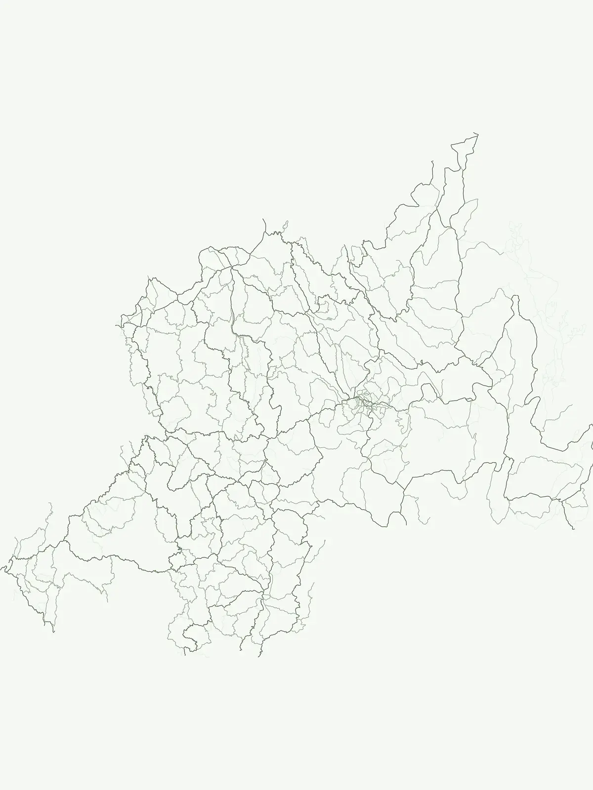
Explore Rwanda's diverse protected landscapes, including montane forests, savannas, and volcanic regions on a comprehensive atlas.
Discover a comprehensive index of national parks, nature reserves, and significant protected areas across Rwanda, highlighting key conservation landscapes and their unique geographic settings. Explore the full regional distribution of Rwanda's conservation efforts, tracing the mapped terrain from western mountains and Virunga volcanoes to southeastern savannas.
Showing 1 to 5 of 5 parks
Understand the mapped terrain and regional context of Akagera National Park.
Akagera National Park, in Rwanda.
Explore its mapped natural landscape and protected terrain.
Nyungwe National Park represents a vital protected area within Rwanda, contributing a unique landscape to the nation's geographic atlas. This national park offers a specific focus for understanding protected lands, their mapped boundaries, and the natural terrain they encompass. By examining Nyungwe National Park, users gain insight into Rwanda's regional geography and the significance of its conservation efforts within the broader context of East African natural landscapes.
Mapped park boundaries and East African geographic context.
Delve into Volcanoes National Park, a crucial protected area within Rwanda's northwest. This page offers detailed insight into its geography, highlighting the volcanic terrain and mapped boundaries that define this important national park. Understand its placement within the Virunga Mountains and its contribution to the natural landscape of East Africa, providing a foundation for atlas-based exploration of protected lands.
Explore its mapped boundaries and regional geography.
Gishwati-Mukura National Park, located in western Rwanda, is a vital protected area renowned for its montane forest ecosystems. This national park occupies mountainous terrain characteristic of the Albertine Rift, contributing significantly to watershed protection and regional biodiversity. Users can explore its specific geographic context, mapped landscape features, and its role within Rwanda's broader conservation atlas.
Mapped protected area boundaries and regional natural landscape.
Gishwati Forest National Park offers a focused exploration of a significant protected natural landscape in Rwanda's Western Province. This resource provides detailed geographic context, highlighting the park's mapped boundaries and its role within the country's conservation areas. Understand its terrain and regional landscape importance through an atlas-centric view.
Trace the regional spread of protected areas and national parks, comparing diverse conservation landscapes adjacent to Rwanda's borders.

Parks and protected areas in Kenya, including Amboseli and Mount Kenya.

Parks and protected areas in Tanzania, including Serengeti and Mount Kilimanjaro.

Parks and protected areas in Malawi, including Lake Malawi and Lake Chilwa.

Parks and protected areas in Uganda, including Bwindi and Rwenzori.

Parks and protected areas in Democratic Republic of the Congo, including Virunga and Salonga.
Parks and protected areas in South Sudan, including Southern and Boma National Park.

Parks and protected areas in Congo, including Odzala and Ndoki.

Parks and protected areas in Burundi, including Kibira National Park and Ruvubu.
Protected area types
Deepen your understanding of Rwanda's protected landscapes by continuing your exploration of its designation categories. This route provides a structured framework to compare different types of conservation areas across the country. Investigate the geographic distribution and classification specifics of Rwanda's natural heritage, offering a comprehensive atlas view of its protected lands.
Narrow your search for parks in Rwanda by environmental characteristics.