National parkLatvia

Gauja National Park
Mapped terrain and diverse natural heritage in Vidzeme.
Gauja National Park, in Latvia. Landscapes: valleys, cliffs, and forests.
917.87 km²1973TemperateII

Explore the mapped boundaries and regional context of Latvia's nationally significant park designations.
Latvia's National Parks represent some of its most significant protected landscapes, offering a unique lens through which to understand the country's geography and natural heritage. This page serves as a dedicated atlas index, detailing these nationally recognized park areas and their distribution across Latvia. Delve into the mapped extent and intrinsic characteristics that define these protected lands.
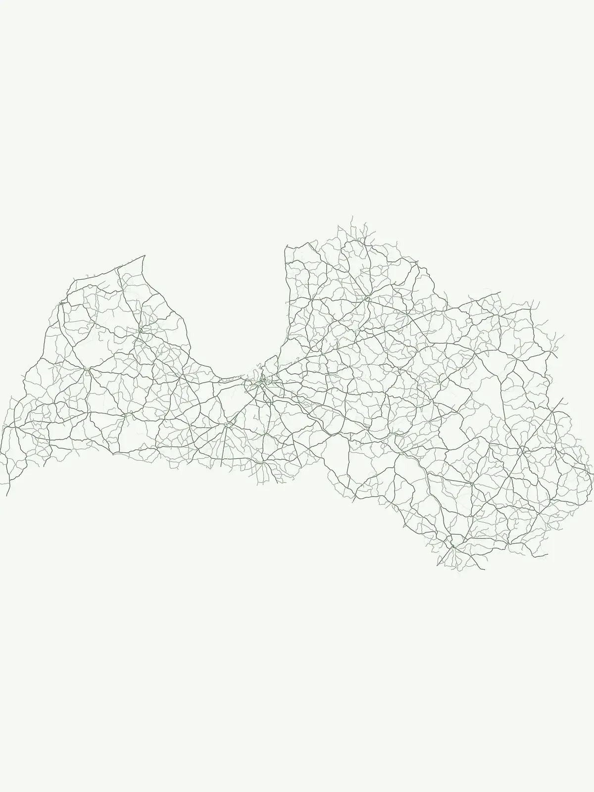
Uncover the regional distribution and conservation significance of Latvia's premier protected areas.
In Latvia, the National park designation marks key areas for landscape conservation, biodiversity protection, and public recognition across diverse ecosystems. These nationally significant protected park areas, including Gauja and Ķemeri, form a crucial network for understanding Latvia's natural heritage and mapped terrain.
Browse the complete list of national parks in Latvia, which features diverse protected areas ranging from coastal landscapes to river valleys and ancient forests. The filtered designation view highlights their geographic distribution and unique conservation profiles, offering deep insights into Latvia's natural heritage.
Mapped terrain and diverse natural heritage in Vidzeme.
Gauja National Park, in Latvia. Landscapes: valleys, cliffs, and forests.
Explore a unique protected landscape with mapped bog ecosystems and regional natural terrain.
Ķemeri National Park, in Latvia. Landscapes: bogs, forests, and wetlands.
Explore the unique terrain and protected geography of this Baltic national park.
Slītere National Park represents a distinctive protected landscape on Latvia's Courland Peninsula, celebrated for its ancient geological formations like the Blue Hills (Zilie Kalni) and its role as a crucial bird migration corridor. The park's geography encompasses varied dune systems, wetland habitats, and rich broadleaf forests, offering a unique mapped environment. Discover the park's protected area boundaries and its significance within the regional Baltic geography, highlighting its unique ecosystem features and landscape context.
Explore the mapped terrain of Latvia's largest lake region.
Rāzna National Park, situated in the Latgale region, provides an essential focal point for understanding eastern Latvia's protected landscapes. This national park, recognized for its extensive glacial terrain and the significant Lake Rāzna, offers a distinct geographic profile. Users can explore its mapped boundaries, discover its role as a vital protected area, and understand its landscape context within the broader atlas of Latvia's natural heritage.
Open the park list for Latvia to explore locations and park characteristics.