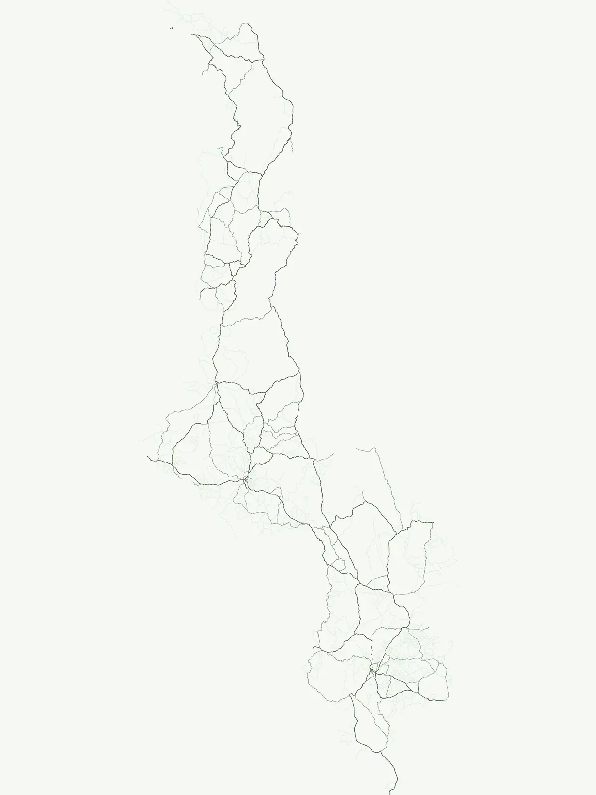
Mapping the distribution and ecological footprint of wildlife reserves across Malawian terrain
Wildlife Reserve Protected Areas in Malawi: A Geographic Atlas of Conservation Landscapes
Explore the structured geography of wildlife reserves throughout Malawi, where protected corridors and habitat preservation support essential ecosystems. These conservation landscapes provide vital continuity for local fauna and natural terrain, serving as critical segments within the wider network of protected areas across the country.
Mapping wildlife reserves across regional habitats and conservation corridors in Malawi
Wildlife Reserve in Malawi: Protected Areas and Animal Conservation Geography
Each wildlife reserve in Malawi safeguards vital animal populations and continuous natural habitats across miombo woodland and river valley ecosystems. Examining these protected areas reveals regional conservation efforts focused on restoring native species and sustaining ecological integrity.
Wildlife Reserve Protected Areas and Park Geography in Malawi
Examine designated wildlife reserves spanning savanna, miombo woodland, and river valley habitats throughout Malawi. Compare individual protected areas to understand regional conservation coverage and animal habitat distribution.
Wildlife reserveMalawi
Majete Wildlife Reserve
Savanna landscapes and Shire River valley ecology
Majete Wildlife Reserve represents a premier example of habitat restoration in the Shire River valley. Spanning 700 square kilometers of varied terrain, the reserve protects a mosaic of riparian forest and savanna that has been carefully managed to sustain Big Five wildlife. Gain insight into the regional geography, protected landscape boundaries, and conservation history of this essential Malawian wildlife sanctuary.
A vast, recovering miombo woodland sanctuary in central Malawi.
Nkhotakota Wildlife Reserve represents a massive conservation effort within the Great Rift Valley, protecting 1,800 square kilometres of steep ridges, riverine gorges, and dense woodland patches. This atlas entry details the reserve's unique topography, ranging from high-altitude escarpments down toward Lake Malawi, and its role as a pivotal site for large mammal restoration and bird diversity in Southeastern Africa.
Spanning roughly 1,000 square kilometers, Vwaza Marsh Wildlife Reserve provides a unique contrast to the surrounding highlands through its flat topography, seasonal wetlands, and dense mopane forests. This destination serves as a vital corridor for large mammals moving across the border, offering a window into the complex interplay of water-focused ecology and savanna-woodland habitats in Southeastern Africa.
Geography, woodland terrain, and regional biodiversity.
Located in the southernmost Nsanje District of Malawi, Mwabvi Wildlife Reserve encompasses a unique convergence of dry Brachystegia woodland, sandstone hills, and open savanna grasslands. This protected area offers a deep look into the varied topographies of the Lower Shire region, providing a comprehensive understanding of the reserve's historic ecological importance and its current role in regional conservation.
Explore montane forest ecosystems and exotic pine plantations
Chikangawa Forest Reserve stands as a major protected block within Malawi's Northern Region. The area covers extensive mountain ridges where native montane vegetation interweaves with significant man-made pine plantations. This geographic atlas entry provides insight into the reserve's role as a watershed protector and its unique position across the Viphya Plateau.
More designation routesExplore alternative conservation categories and regional park types within Malawi3
Compare Other Protected Area Designations Across Malawi
Examine adjacent protected area types in Malawi to understand how different legal frameworks shape regional conservation. Comparing multiple designation categories reveals the full structural diversity of the national park network.
Browse mapped boundaries and regional geography of protected areas.
National park
33%
This atlas component provides detailed geographic context for Malawi's National Parks, highlighting the country's commitment to landscape conservation and biodiversity. Each park is presented with its mapped boundaries, contributing to a comprehensive understanding of protected areas within Southeastern Africa. Explore the distribution and geographical significance of these nationally recognized parks to gain insight into Malawi's natural resource management.
Regional mapping of protected nature and biodiversity reserves
Nature reserve
27%
Access a structured overview of nature reserves in Malawi, focusing on their role in long-term habitat preservation and ecological stability. This resource maps the specific boundaries and regional significance of these protected lands, clarifying their contribution to the country landscape.
Regional mapping of protected natural sites and reserves.
Protected area
7%
Access a structured index of protected areas in Malawi that hold conservation significance. This resource maps various reserves and natural sites, providing a clear geographic view of landscape protection efforts across the national territory for informed research and regional exploration.