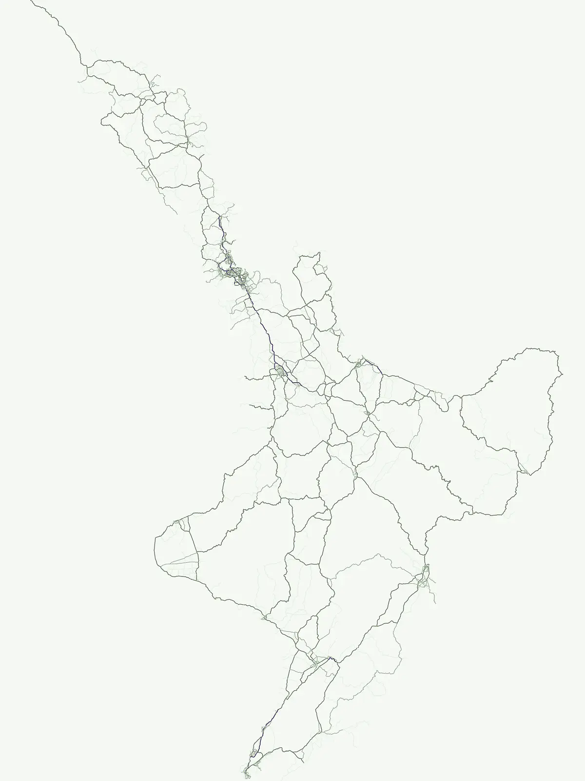
A comprehensive geographic atlas of ocean-linked reserves and protected shoreline habitats
Marine Protected Areas and Coastal Conservation Landscapes Across New Zealand
The New Zealand coastline features a diverse array of marine protected areas that safeguard vital aquatic ecosystems, ranging from rocky reefs and kelp forests to remote island habitats and estuarine environments. This atlas entry provides a structured overview of ocean conservation sites across both the North and South Islands. View mapped boundaries and regional geographic context for protected coastal lands that form the backbone of national marine conservation efforts.
Explore ocean reserves, fiord ecosystems, and protected coastal waters across the islands
Marine Protected Area Network and Coastal Conservation in New Zealand
Aquatic conservation areas safeguard vital coastal waters, rocky reefs, and offshore island habitats throughout the southwestern Pacific archipelago. Examining these marine reserves reveals how protected ocean zones preserve complex marine biodiversity and littoral ecosystems.
Marine Protected Areas in New Zealand: Filtered Park List and Coastal Geography
Scanning marine protected areas in New Zealand reveals a diverse collection of coastal reserves, rocky reefs, and fiord ecosystems spanning regional waters. Examining these coastal conservation sites helps map the geographic distribution of protected marine habitats and shoreline reserves throughout the country.
Marine protected areaNew ZealandMarine
Cape Rodney-Okakari Point Marine Reserve
Mapped coastal boundaries and marine ecosystem terrain
Delve into the geography of Cape Rodney-Okakari Point Marine Reserve, where protected waters meet a complex interface of greywacke bedrock and sandy substrates. This assessment highlights the ecological transition from exposed rocky headlands to sheltered Whangateau Harbour, illustrating the structural depth of New Zealand's foundational marine site through its diverse invertebrate and fish habitats.
Mapping remote marine mammal habitats in the New Zealand southern Pacific
Covering over half a million hectares of oceanic terrain, the Auckland Islands Marine Mammal Sanctuary acts as a cornerstone of New Zealand conservation. The area protects complex underwater ecosystems, ranging from sheltered fjord-like inlets to deep-sea abyssal zones, while providing a stable recovery environment for vulnerable whale and sea lion populations in the subantarctic region.
A vital marine protected area on the Banks Peninsula coastline
The Pōhatu Marine Reserve serves as a critical no-take zone within the volcanic crater landscape of Canterbury. Its geography consists of sheltered inlets, steep cliff faces, and rich reef systems that support diverse fish biomass and protected nesting sites for native penguin colonies. The area remains a primary example of integrated coastal wildlife conservation on the Banks Peninsula.
Exploring the coastal reefs and deep trench environments of Canterbury
Hikurangi Marine Reserve represents a core protected landscape within the New Zealand marine atlas. Centered on the Kaikoura Canyon, the reserve features a sharp transition from rocky shoreline reefs to deep-sea environments that support a high density of cetaceans and seabirds. This map-focused profile examines the physical boundaries and unique oceanographic conditions that define this essential no-take marine zone.
Exploring unique fiord stratification and dense marine coral habitats
Located in the remote southwestern reaches of New Zealand, Moana Uta (Wet Jacket Arm) Marine Reserve preserves a complete fiord system. The area is notable for its exceptional physical conditions, including high black coral density and a distinct freshwater surface layer that sustains diverse underwater communities across steep rock walls, reefs, and deep basins.
Explore marine boundaries in the Marlborough Region
Located at the entrance to Queen Charlotte Sound, Long Island-Kokomohua Marine Reserve encompasses significant island and submerged reef features. This protected area serves as an essential site for understanding coastal ecosystem restoration, featuring varied terrain from shallow near-shore reefs to deeper rocky pinnacles that support diverse marine populations.
Protected marine terrain and glacial fjord geography
Taipari Roa (Elizabeth Island) Marine Reserve is a protected marine area situated within the complex fjord network of Doubtful Sound. The reserve is characterized by steep underwater rock walls, deep kelp forests, and a unique freshwater cap that allows rare corals and glass sponges to thrive at shallow depths. This geographic overview examines the reserve's protected status and its structural role within the broader Fiordland ecosystem, highlighting the vertical aquatic terrain and surrounding islet environments.
Volcanic coastal terrain and no-take zone boundaries
Located on the Banks Peninsula, Akaroa Marine Reserve represents a vital marine protected area within a deeply indented volcanic harbour. The reserve offers a unique look at the contrast between inner harbour mudflats and outer rocky reefs, serving as an essential case study for marine conservation and coastal geography in New Zealand.
Mapped marine boundaries, stratified fiord ecology, and coastal terrain analysis
Explore the structured geography of Kutu Parera (Gaer Arm) Marine Reserve, a 433-hectare protected area located within the steep, mountain-flanked fjords of New Zealand. Gain insight into its complex underwater features, including vertical rock walls, estuarine basins, and stratified water columns that define this unique marine environment within the Fiordland region.
Mapping the ecological sanctuary and reef geography in the New Plymouth District.
Gain insights into the geography of Parininihi Marine Reserve, a protected marine environment north-east of New Plymouth. This record outlines the reserve's structural features, from the iconic White Cliffs coastline to the complex underwater canyons and pinnacles of the Pariokariwa Reef. Learn about the seafloor terrain and the ecological distribution of invertebrate colonies and fish populations that define this crucial New Zealand marine reserve.
More designation routesCompare marine zones with terrestrial parks, reserves, and regional landscapes6
Other Protected Area Designations in New Zealand
Compare marine conservation zones with national parks, nature reserves, and regional protected landscapes across New Zealand. Evaluating these alternative designation types reveals the complete scope of regional conservation frameworks and terrestrial management strategies.
Atlas of protected habitats and island sanctuaries
Nature reserve
27%
Explore the geographic distribution of 24 nature reserves across New Zealand. These protected areas prioritize the conservation of native ecosystems, ranging from island sanctuaries and coastal forests to sensitive geological features, providing a vital layer to the national landscape.
Discover the country's national park system and mapped protected areas.
National park
15%
Delve into the specifics of New Zealand's national parks, a key designation for landscape conservation and biodiversity. This resource provides a clear view of each park's geographical placement and role within the nation's protected area strategy. Use this to browse and understand the distribution of these significant natural landscapes across the islands.
Browse the collection of regional parks in New Zealand to understand their role in local landscape protection. Our atlas data helps you visualize these protected areas, offering a clear perspective on how they function as distinct geographic and natural units within the broader national terrain.
Mapped protected areas and stewardship territories
Protected landscape
11%
Discover ten notable protected landscapes throughout New Zealand. This index examines how these territories balance ecological health with scenic character, providing a comprehensive look at land-scale conservation and regional geography across the North and South Islands.
Regional mapping of essential animal habitat reserves.
Wildlife reserve
7%
Browse the geographic distribution of wildlife reserves within New Zealand. This collection focuses on protected areas that prioritize habitat continuity and the restoration of native animal populations, offering a clear view of the regions where critical conservation efforts are currently concentrated.
Geographic discovery of conserved lands and natural reserves
Protected area
6%
Identify and map protected area sites located throughout New Zealand. This resource offers a structured look at conservation lands, helping users connect with the geography of sites that play a vital role in regional land protection and natural habitat preservation across the islands.