Peaks
Pic de Peguera
2,982.7 m

A structured geographic analysis of mountain terrain, elevation spans, and alpine features.
The geography of Aigüestortes i Estany de Sant Maurici National Park encompasses 141 square kilometers of protected mountain terrain within the Province of Lleida, Spain. This profile details the park boundaries, elevation range from 1600 meters to 3017 meters, and the distribution of natural alpine features, forests, and glacial lakes throughout the region.
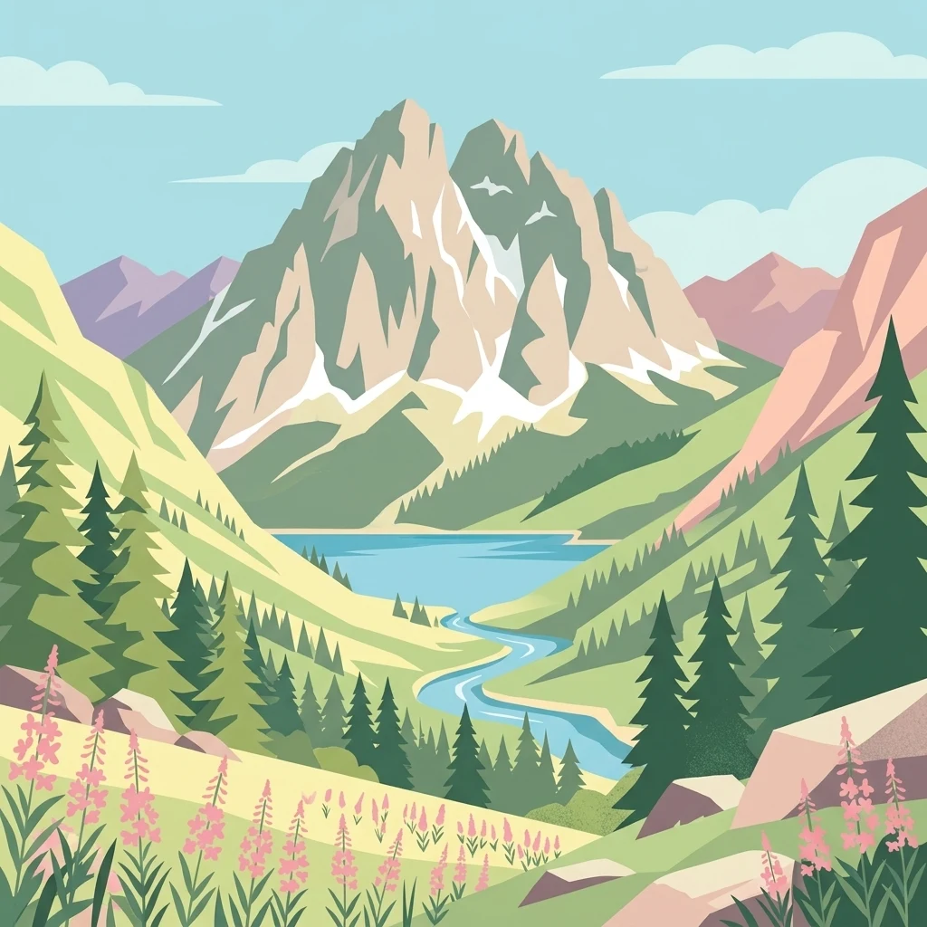
The winding streams and glacial lakes of Catalonia's only Pyrenean national park
Aigüestortes i Estany de Sant Maurici National Park is the only national park located in Catalonia, protecting a dramatic high-mountain landscape in the central Pyrenees of northern Spain. Established in 1955, it encompasses a wild alpine region where peaks rise to over 3,000 metres and nearly 200 lakes of glacial origin dot the terrain. The park's Catalan name translates as "the winding streams and Saint Maurice lake," referring to the distinctive meandering waterways of the Aigüestortes plain and the iconic Sant Maurici lake that sits beneath the twin peaks of Els Encantats. The protected area spans approximately 141 square kilometres of core territory with a surrounding buffer zone, creating a gradient of protection from the strictly preserved interior to the peripheral lands. This Pyrenean park represents one of Spain's most important conservation areas, sheltering diverse ecosystems that range from deciduous forests through mountain pine zones to alpine meadows, and hosting populations of emblematic species including the Pyrenean chamois and brown bear.
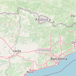
National and regional placement within Spain and Catalonia
Explore the 141 square kilometer geographic extent and spatial limits
Mountain relief metrics and verified natural feature records
Peaks
2,982.7 m
Viewpoints
Reservoirs
Peaks
2,508.3 m
Lakes
Streams
Alpine climate zones, temperate forests, and major water features across mountain terrain
Mountains · Valleys · Lakes · Rivers · Forest · Woodland · Grassland · Waterfalls · Cliffs
Temperate broadleaf forest · Temperate coniferous forest · Montane forest · Alpine meadow · Grassland · Riverine habitat · Lacustrine habitat · Wetland
Compare other national parks and protected areas, tracing their geographic spread across the Pyrenees and Catalonia.
East

Explore the Pyrenean terrain and mapped boundaries of Andorra's summit park.
Parc Natural Comunal de les Valls del Comapedrosa is the primary high-altitude protected area in Andorra, defined by its rugged alpine terrain and the presence of Coma Pedrosa, the country's highest peak. This protected landscape offers a significant geographic anchor for exploring the Pyrenees, highlighting the unique mountain conservation efforts. Its mapped boundaries encompass dramatic valleys and steep ridges, providing a clear context for understanding Andorra's mountainous geography through a structured atlas lens.
East
An examination of glacial landforms and historic mountain heritage.
Spanning nine percent of Andorra, the Madriu-Perafita-Claror Valley remains a rare example of a preserved Pyrenean cultural landscape. This protected area features granite cliffs, glacial cirques, and historic ironworking remnants, offering a deep look into the environmental legacy of mountain societies within a remote, foot-access-only basin.
Northwest

Granitic massif geography and Pyrenean protected landscapes
Located in the heart of the Hautes-Pyrénées, this reserve captures the geological and biological essence of the Central Pyrenees. From the summit grasslands at 2,171 metres to the sheltered glacial basins, the terrain provides a comprehensive look at regional mountain ecosystems and Hercynian geological heritage.
Northwest
A diverse protected landscape spanning the central Pyrenees of Occitanie.
This regional nature reserve provides a focused look at central Pyrenean mountain environments. Covering over 1,200 hectares, the area features a steep altitudinal gradient, blending working pastoral meadows with critical habitats such as rocky slopes, conifer forests, and glacial landforms. The site serves as a vital anchor within the broader network of protected mountain terrain found throughout the Occitanie region.
West

Explore its dramatic valleys, cliffs, and alpine geography.
Ordesa y Monte Perdido National Park is a critical protected area within the Pyrenean geography, defined by its spectacular glacial valleys, towering limestone massifs, and unique karst formations. As a National Park and UNESCO World Heritage Site, it offers a rich environment for exploring mapped terrain and understanding the interplay of geology and high-alpine ecosystems. Delve into the mapped boundaries and distinct landscape features that characterize this significant protected landscape.
West
Discover Hautes-Pyrénées' dramatic glacial terrain and alpine environments.
Pyrénées National Park is a significant protected area in France's Hautes-Pyrénées department, renowned for its dramatic glacial cirques, high-altitude lakes, and extensive mountain landscapes. Established as a national park, it offers rich geographic context for atlas exploration, showcasing millions of years of geological formation shaped by tectonic uplift and glacial carving. This park is also notable for its transboundary conservation efforts with Spain, contributing to a broader protected region. Explore its unique terrain, from towering limestone formations to alpine meadows, and understand its place within the Pyrenean mountain range.
West
Glacial cirques, limestone canyons, and alpine pastoral heritage.
Spanning the high Pyrenees, Pyrénées-Mont Perdu represents a rare union of dramatic geological formations and human cultural heritage. The terrain features vertical limestone walls, deep carved canyons, and expansive cirques that host both diverse alpine ecosystems and active seasonal migration routes. This protected area remains a benchmark for studying the interplay between powerful glacial geography and historic mountain pastoralism in Europe.
East
Subterranean karst exploration in the Aude department of Occitanie
Located in the foothills bordering the Pyrenees, the Réserve naturelle nationale de la Grotte du T.M. 71 protects a sprawling network of limestone passages. This site represents a key protected area for the study of subterranean mineral formations and Pyrenean karst evolution, featuring kilometres of mapped galleries maintained under a strict integral conservation framework.
Deepen your understanding of Aigüestortes i Estany de Sant Maurici National Park by examining its precise mapped boundaries and the surrounding regional geography. MoriAtlas provides structured insights into its unique alpine environment, glacial lake systems, and the distinct patterns of its winding waterways. Expand your perspective on this Pyrenean protected landscape and its place within the broader Catalan geography.