Peaks
Ер Қалқан
786 m

A comprehensive analysis of spatial dimensions, landscape features, and regional geography
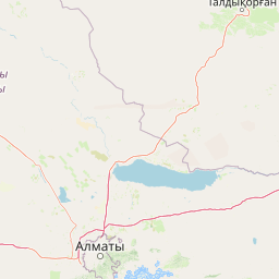
Analyze the spatial distribution and geographic characteristics of Altyn-Emel National Park within the Almaty Region of Kazakhstan. This profile covers the recorded 4600 square kilometer area and the complex terrain, featuring diverse mountain ranges, desert expanses, and seasonal water sources mapped across a expansive interior landscape.
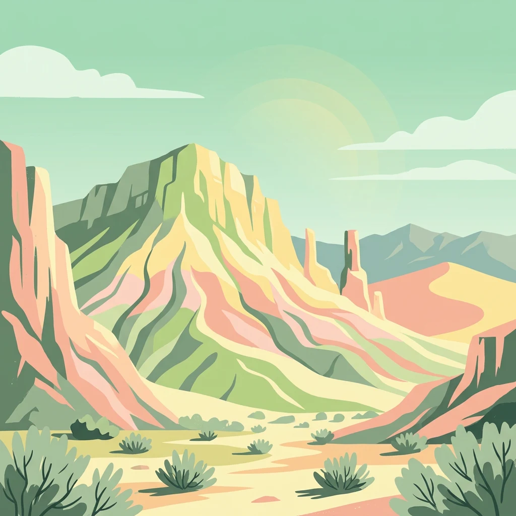
Kazakhstan's largest natural reserve featuring desert dunes, mountain landscapes, and ancient Saka burial sites
Altyn-Emel National Park is Kazakhstan's largest protected area, established in April 1996 in the southeastern part of the country within the Almaty Region. The park spans approximately 460,000 hectares between the Ili River Valley and the Aqtau mountain range, near the Kapchagai Reservoir. The landscape is predominantly desert and rocky terrain, though it also encompasses mountain spurs of the Dzungarian Alatau and several distinct mountain ranges that rise from the surrounding plains. The park serves as a crucial conservation area for Central Asian steppe ecosystems and contains significant archaeological monuments from the Iron Age Saka period. Its unique geological features include the famous Singing Dunes, a massive crescent-shaped barchan that produces an audible rumbling sound, and the colorful Aktau mountains often called the "lunar mountains" for their distinctive hues.
National Park Geography in Kazakhstan and the Almaty Region
Geographic extent and spatial dimensions covering 4,600 square kilometers
Mixed relief classifications and recorded natural formations
Peaks
786 m
Peaks
956 m
Peaks
1,281 m
Waterfalls
Peaks
Natural springs
Arid climate zones, sparse forest cover, and mixed relief classifications
Mountains · Desert · Valleys · Dunes · Grassland · Hills · Cliffs
Grassland · Steppe · Desert habitat · Temperate broadleaf forest · Riverine habitat
Explore Diverse Protected Landscapes across Almaty Region, Kazakhstan, for Broader Geographic Context

South

A stationary desert landmark within the Dzungarian Alatau foothills.
Singing Dune (Поющий бархан) is a prominent geological landmark in the Altyn-Emel National Park of the Almaty Region. This massive sand barchan, anchored between two mountain ridges, is recognized for its unique ability to produce resonant organ-like sounds. The surrounding terrain blends arid desert dunes with the striking silhouettes of the Dzungarian Alatau foothills and the distant Ili River valley.
Southeast
Explore its dramatic canyons and ancient Sogdian ash groves.
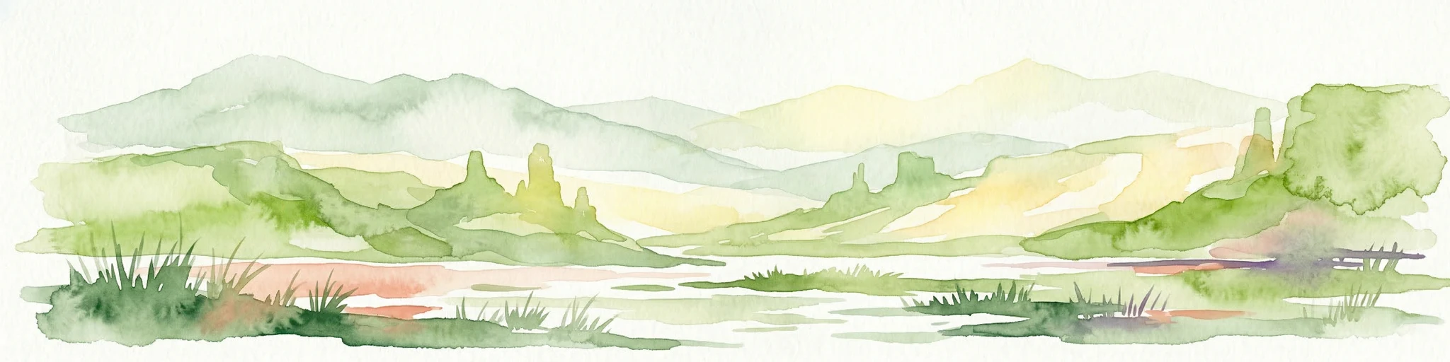
Charyn National Park offers a compelling exploration of Central Asia's dramatic natural heritage, centered around its spectacular canyon system. This protected area, situated in Kazakhstan's Almaty Region, features towering red rock walls and unique geological formations carved by the Charyn River. The park is also notable for preserving one of the world's northernmost stands of ancient Sogdian ash trees, a vital link to prehistoric ecosystems. Users can discover the park's mapped boundaries, diverse terrain, and distinct landscape features, making it a key destination for geographic and atlas-based discovery.
Southeast
Protected botanical relic in the Kazakhstan steppe
Charyn Ash Grove preserves a rare population of river-loving Sogdian ash trees within the arid landscape of southeastern Kazakhstan. This protected natural monument traces the moisture-rich corridors of the Charyn and Temirlik rivers, creating a vivid riparian ribbon surrounded by rugged semi-desert terrain and ancient archaeological features that define the regional geography.
South
Mapped Tian Shan mountain geography and glacial lake context.
Kolsay Lakes National Park is a significant protected area within the Almaty Region, celebrated for its breathtaking chain of three alpine lakes, often referred to as the 'Pearls of Tien Shan.' This national park showcases the rugged beauty of the Tian Shan mountains, with dramatic valleys, dense spruce forests, and pristine glacial waters. Understanding its geographic setting and mapped boundaries reveals the unique ecological and landscape value of this protected natural area.
Northeast
Almaty Region's critical wild apple forest and glaciated terrain.
Zhongar-Alatau National Park in Kazakhstan's Almaty Region is a significant protected landscape renowned for its role in conserving the genetic origins of cultivated apples. The park encompasses dramatic glaciated mountain ranges, deep canyons, and diverse ecosystems within the Dzungarian Alatau. Its mapped boundaries define an area vital for protecting unique wild fruit tree species, including the Sievers apple, and preserving the distinctive alpine terrain of southeastern Kazakhstan, offering rich context for geographic exploration.

Southwest
Mapped boundaries, diverse ecosystems, and mountain wilderness.
Ile-Alatau National Park is a key protected area in the Almaty Region of Kazakhstan, preserving a vast expanse of the Tian Shan mountain system. This national park showcases a dramatic vertical landscape, encompassing everything from lowland woodlands and relict spruce forests to expansive alpine meadows and glacial terrains. Its mapped boundaries define critical habitat for diverse wildlife and offer a profound insight into the complex ecological dynamics of high-altitude environments, making it an essential destination for atlas-based geographic discovery.
East

A vital montane spring and alpine grassland protected area in the Western Tianshan.
The Xinjiang Wenquan Xinjiang Salamander National Nature Reserve serves as a dedicated refuge for relict amphibian populations within the Tianshan mountain system. Its small footprint concentrates on preserving the integrity of cold-water spring brooks and snowmelt-driven seepage zones that form the backbone of this regional ecosystem. The reserve provides a clear example of targeted habitat management within the diverse topography of northwestern China.
Southwest

State or Regional Park with Alpine Valleys and Glacial Lakes
Chong-Kemin Nature Park offers a rich geographic exploration of Kyrgyzstan's Tian Shan mountain region. This state or regional park encompasses approximately 123,564 hectares, defined by the extensive Chong-Kemin River valley and seven glacial lakes. Its landscape provides crucial habitat within a protected area, showcasing alpine terrain and river ecosystems. Users interested in mapped protected areas and regional park geography will find Chong-Kemin Nature Park a key point for understanding Kyrgyzstan's natural heritage.
Deepen your understanding of Altyn-Emel National Park by examining its distinct geographic features, mapped terrain, and regional significance. This national park serves as a crucial point for exploring the broader atlas of protected areas in Kazakhstan, offering insights into its unique desert landscapes, mountain spurs, and ancient cultural heritage. Continue your discovery of this remarkable natural and historical treasure through structured geographic data and detailed park maps.