Mori Atlas logo
Park earthquake history

A comprehensive collection of historical earthquake records associated with this mountain landscape

Recorded Seismic History and Earthquake Catalogue for Alvão Natural Park in Portugal

Explore a curated catalogue of historical earthquake records mapped by their proximity to Alvão Natural Park. This resource provides technical details for each event, including magnitude, depth, and epicentre location, as sourced from scientific earthquake databases. Use these records to analyze regional seismic trends while maintaining a focus on the geographical context of this protected northern Portuguese landscape.

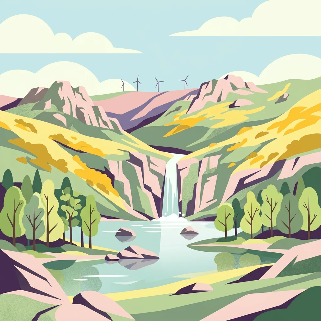
Colorful illustration of a mountain landscape with a waterfall cascading into a lake surrounded by trees and hills

Portugal's smallest natural park protecting rugged mountain landscapes, cascading waterfalls, and traditional agro-silvopastoral heritage in the heart of Trás-os-Montes

Alvão Natural Park

Alvão Natural Park is a protected landscape in northern Portugal, established on June 8, 1983 under decree-law 237/83. Located in the Vila Real district across the municipalities of Mondim de Basto and Vila Real, the park occupies approximately 72 square kilometres of mountainous terrain in the Tâmega and Douro subregions of the Norte Region. It is the smallest of Portugal's natural parks, yet it preserves a remarkable diversity of landscapes, ecosystems, and cultural traditions within its compact footprint. The park spans an altitudinal range of over 1,000 metres, from the summit of Caravelas at 1,339 metres down to the Rio Olo valley at roughly 260 metres. This dramatic elevation gradient, combined with the contrast between granite highlands and schist lowlands, creates a distinctive mosaic of habitats and scenery. The park is also integrated into the European Union's Natura 2000 network as the Alvão-Marão site, reflecting its importance for conserving European biodiversity and threatened species.

Location
Portugal
Park type
Protected area
Established
1983
Area
72 km²
Highest point
1,339 m
Alvão Natural Park Protected Area

Study Alvão Natural Park earthquake timing, magnitude, depth, location, and distance

Browse spatially associated earthquake records for Alvão Natural Park

Alvão Natural Park is connected to this historical earthquake set by the geography of reported epicentres and their calculated distance from the park, rather than by a statement about hazards or causation. Each entry brings together its recorded date, magnitude, depth, named location, distance value, and source access for transparent chronological and spatial review.

Sort by
Magnitude
Location

This page describes catalogued earthquakes associated with the park by epicentre location and distance. It does not establish causation, assess current danger, or predict future earthquakes.

No earthquake records match the current filters

Park atlas

Leave the Alvão Natural Park earthquake catalogue for wider atlas discovery

Continue exploring protected parks beyond Alvão Natural Park

A dedicated collection of other protected parks offers the next step after the Alvão Natural Park earthquake records. These links broaden discovery without suggesting matching earthquake histories, shared geology, comparable scenery, equivalent protection, local proximity, or seismic significance among the destinations.
Watercolor illustration of a river winding through a valley with mountains, forests, and pink flowering trees.
National parkPortugal
36 km away#1 closest

Northwest

Peneda-Gerês National Park: A Distinct Protected Landscape in Northern Portugal

Granite peaks, glacial valleys, and cultural heritage mapped.

Peneda-Gerês National Park represents a cornerstone of protected landscapes in Portugal, celebrated for its rugged granite mountains and deep glacial valleys sculpted over millennia. This national park showcases a rare ecological transition zone with unique endemic species and features dramatic waterfalls and pristine river systems. The park's rich cultural tapestry, interwoven with its natural environment, offers a compelling subject for atlas-based geographic discovery and landscape exploration.

Area
695.93 km²
Established
1971
IUCN
II
Visitors
92.8K annual
Watercolor depiction of green hills, a small pond, and distant mountains under a soft sky.
Protected landscapeBragança District
67 km away#2 closest

Northeast

Montesinho Natural Park: Protected Landscape in Bragança District, Portugal

Explore mapped boundaries and regional landscape context.

Montesinho Natural Park is designated as a protected landscape in northeastern Portugal, located within the administrative region of Bragança District. This page serves as an entry point to understanding the park's protected area characteristics, its mapped geographic footprint, and its role in the broader natural landscape of the Trás-os-Montes region. Discover the atlas value of this significant protected territory and its relation to surrounding geography.

Area
742.25 km²
Established
1979
IUCN
V
Relief
Mountain
A watercolor painting showing a soft-toned landscape with a stone arch bridge spanning a river, framed by trees and gentle hills.
Biosphere reserveGalicia
69 km away#3 closest

North

Área de Allariz Biosphere Reserve: Mapping the Protected Landscapes of Inland Galicia

Exploring the river basins, granitic massifs, and ecological frontiers

The Área de Allariz biosphere reserve serves as a vital transition zone in northwestern Spain, characterized by its flat-floored tectonic basin, the River Limia, and varied highland terrain. This protected area offers an instructive look at the integration of traditional rural land management with large-scale ecological recovery and conservation across its core, buffer, and transition zones.

Area
214.82 km²
Established
2005
Relief
Mixed relief
Scope
Terrestrial
Watercolor painting of sandy dunes with patches of grass, distant mountains, and a body of water under a light sky
Protected landscapeEsposende
71 km away#4 closest

West

Northern Littoral Natural Park Protected Landscape: Geographic Discovery and Atlas Context

Mapped protected areas and regional landscape discovery near Esposende.

Uncover the geographic identity of Northern Littoral Natural Park, a key protected landscape situated near Esposende. This MoriAtlas entry focuses on its mapped boundaries and regional significance, providing a factual basis for understanding its role within Portugal's network of protected areas. Explore the park's natural terrain and its context within the broader geography of the Norte region for comprehensive atlas-based discovery.

Area
87.62 km²
Established
1987
IUCN
V
Relief
Lowland
Watercolor illustration of a landscape with green mountains, a body of water, and colorful wildflowers in the foreground
Nature reservePortugal
85 km away#5 closest

South

Serra da Estrela Natural Park: Glacial Terrain and Highest Peaks in Portugal

Explore the dramatic geography of this nature reserve.

Serra da Estrela Natural Park is a significant protected landscape in Portugal, celebrated for containing the nation's highest peak and exceptional Quaternary glacial formations. The park's terrain includes dramatic valleys carved by ice, numerous glacial lakes, and a stark alpine plateau around Torre. This nature reserve preserves a unique environment shaped by both geological history and traditional pastoralism, offering rich mapped context for understanding Portugal's mountainous geography and protected areas.

Area
891.32 km²
Established
1976
IUCN
V
Visitors
7.6K annual
Watercolor illustration of rolling green hills and distant purple mountains under a light sky
National parkGalicia
121 km away#6 closest

Northwest

Atlantic Islands of Galicia National Park: Protected Archipelagos & Galician Coastline Geography

Explore mapped island ecosystems and protected marine areas.

Uncover the protected landscape of the Atlantic Islands of Galicia National Park, Spain's only national park in Pontevedra province. This atlas entry details the four distinct archipelagos, Cíes, Ons, Sálvora, and Cortegada, across the Rías Baixas. Discover the unique sea-land protected area, its rare bay laurel forests, significant seabird colonies, and the broader regional geography of Galicia.

Area
84.8 km²
Established
2002
IUCN
II
Visitors
472.3K annual
A soft watercolor painting depicting rolling green hills, distant mountains, a river, and stylized pink trees against a plain background.
Biosphere reserveProvincia de León
152 km away#7 closest

Northeast

Reserva de la biosfera de los Ancares Leoneses: Protected Mountain Terrain and Atlas

Mapping the Sierra de Ancares river valleys in Provincia de León

Examine the geographic layout and protected boundaries of the Reserva de la biosfera de los Ancares Leoneses. This biosphere reserve serves as a critical mountain corridor, featuring complex river basins and diverse forest cover that highlight the region's environmental and cultural history across the Spanish highlands.

Area
567.86 km²
Established
2006
Relief
Mountain
Scope
Terrestrial
Watercolor illustration of a gentle river winding through green hills and forests with soft, hazy mountain silhouettes in the background.
Biosphere reserveGalicia
154 km away#8 closest

North

Reserva de la biosfera de las Tierras del Miño: Mapped Landscapes and Geographic Overview

Extensive riverine forests and wetland networks in northwestern Spain

Explore the expansive territory of Reserva de la biosfera de las Tierras del Miño, spanning a large portion of the Galician interior. This protected area features a mosaic of wetlands, riparian corridors, and mountainous terrain, offering a deep look into the ecological and cultural geography of the upper Miño river basin.

Area
3,636.69 km²
Established
2002
Relief
Lowland
Scope
Terrestrial
MoriAtlas Explorer

Continue Exploring Alvão Natural Park's Unique Mapped Geography and Landscape Context

Delve deeper into the protected landscape of Alvão Natural Park to understand its specific geographic features, from granite chaos formations to steep schist valleys. Use this detailed atlas information to uncover the park's ecological significance and its place within the regional geography, providing a foundation for structured natural landscape discovery.

Global natural geography