Mori Atlas logo
Park earthquake history

A chronological record of seismic events catalogued by proximity to the Southern Alps landscape

Historical Catalogue of Recorded Earthquakes Near Aoraki / Mount Cook National Park

This historical catalogue aggregates recorded seismic activity associated by location with the terrain of Aoraki / Mount Cook National Park. Each record provides data on event timing, magnitude, and epicentre distance, offering a structured perspective on regional seismic patterns within the Southern Alps. The collection serves as an archival resource for identifying past seismic occurrences without serving as a hazard assessment or predictive tool.

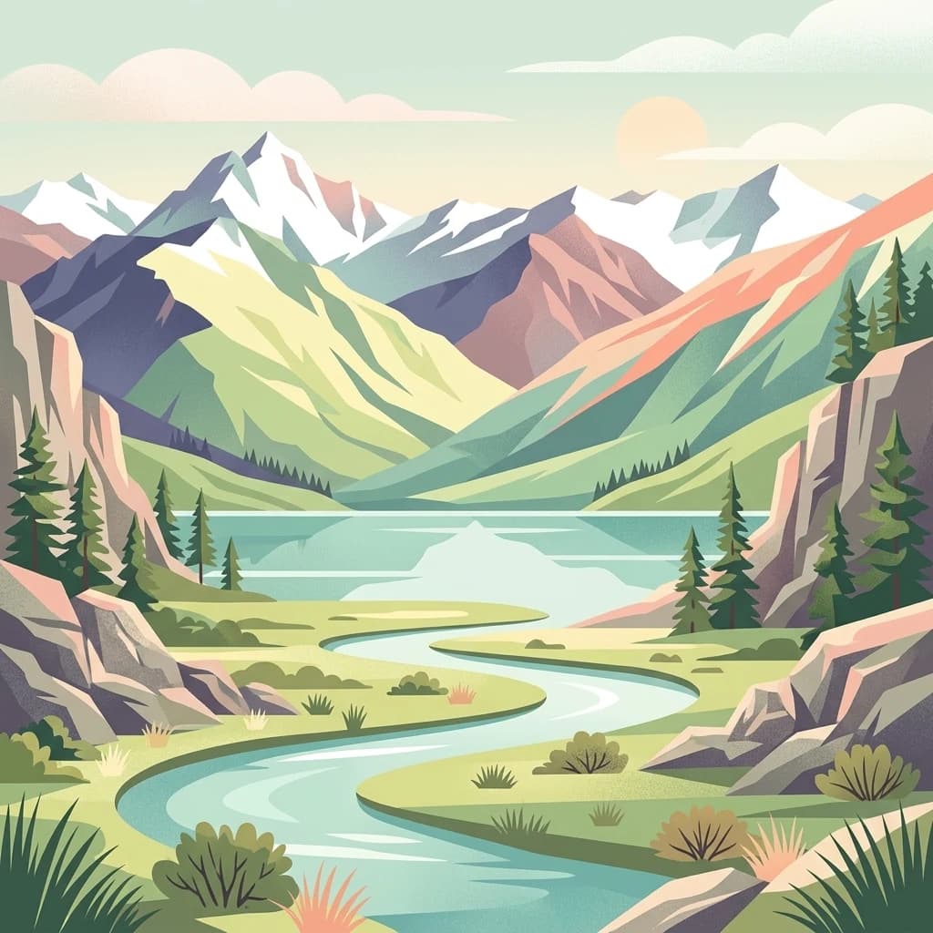
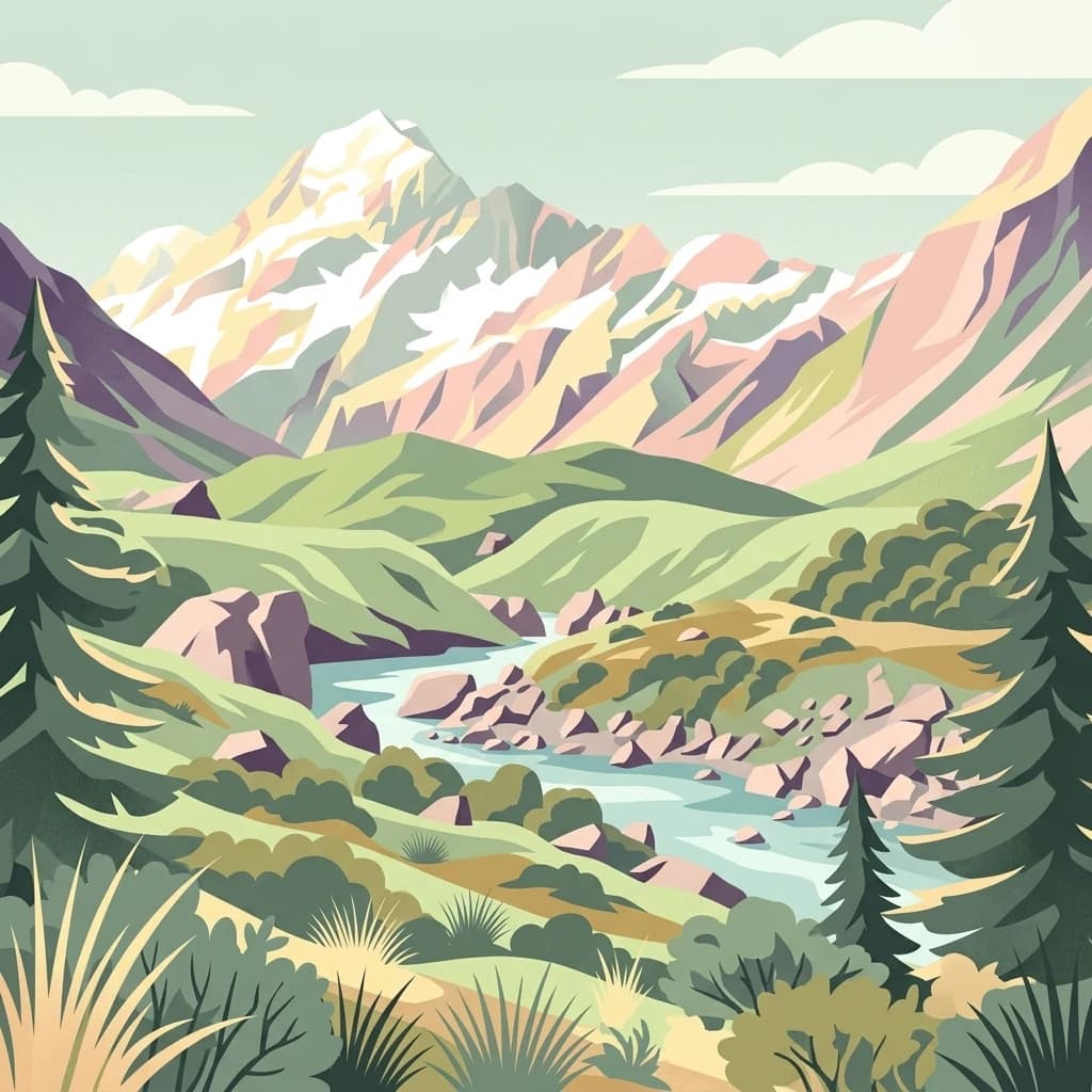
A stylized flat illustration of a snow-capped mountain range rising above a winding river valley with evergreen trees and alpine scrub.

New Zealand's Alpine Heartland: Glaciers, Peaks, and World Heritage

Aoraki / Mount Cook National Park

Aoraki / Mount Cook National Park is New Zealand's premier alpine protected area, encompassing the highest mountain in the country and one of the most dramatic landscapes in the Southern Alps. Located in the Canterbury Region of the South Island, the park covers approximately 707 square kilometers along the Main Divide of the Southern Alps, sharing its western border with Westland Tai Poutini National Park. The park is centered on Aoraki / Mount Cook, which rises to 3,724 meters and represents the focal point of New Zealand's most spectacular mountain environment. Glaciers cover roughly 40 percent of the park's terrain, including the Tasman Glacier, the country's largest. The area holds profound cultural significance for Ngāi Tahu, the iwi who hold mana whenua over the region, and was recognized as part of the Te Wāhipounamu World Heritage Site in 1990, becoming New Zealand's first natural World Heritage designation.

Location
New Zealand
Park type
National park
Established
1953
Area
707 km²
Highest point
3,724 m
Aoraki / Mount Cook National Park Protected Landscape

Analyze spatial proximity and magnitude data for documented regional seismic events

Historical Earthquake Records for Aoraki / Mount Cook National Park

Documented seismic data catalogs recorded earthquakes associated with Aoraki / Mount Cook National Park based on calculated spatial distance from the boundary to each epicentre. Individual records display origin dates, measured magnitudes, focal depths, regional locations, relative distances, and direct links to official monitoring agencies.

Sort by
Magnitude
Location

This page describes catalogued earthquakes associated with the park by epicentre location and distance. It does not establish causation, assess current danger, or predict future earthquakes.

No earthquake records match the current filters

Park atlas

Navigate global protected landscapes and distinct regional conservation zones.

Exploring National Parks Beyond Aoraki / Mount Cook National Park

Transitioning from Aoraki / Mount Cook National Park, travelers can explore a diverse index of protected areas and distinct natural sanctuaries around the globe. Regional maps and structured profiles facilitate easy comparison of geographic coordinates, native ecosystems, and conservation landscapes across different territories.
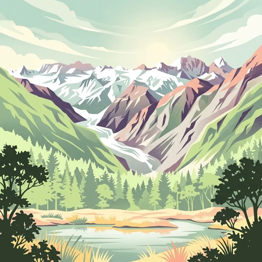
An illustration showing a valley with a central glacier, surrounded by steep mountains and a foreground forest with a small lake.
National parkWest Coast
Park boundaries overlap#1 closest

North

Westland Tai Poutini National Park: A Protected Landscape of Glaciers and Temperate Rainforests

Explore its mapped terrain and unique glacial features in West Coast, NZ.

Westland Tai Poutini National Park represents a remarkable intersection of glacial power and lush temperate rainforests along New Zealand's West Coast. As a protected national park, it showcases dramatic alpine scenery and the unique characteristic of glaciers descending to low elevations. Users can explore the mapped boundaries and the distinct natural landscapes that define this significant protected area, offering a clear view of its place within the region's geography.

Area
1,319.8 km²
Established
1960
IUCN
II
Relief
Mountain
A stylized, flat-design illustration showing a winding river flowing through a green valley toward snow-capped mountains in the distance, framed by coniferous trees and rocky outcrops.
National parkOtago
41 km away#2 closest

Southwest

Mount Aspiring National Park

Explore the U-shaped valleys and mapped boundaries of this iconic national park.

Mount Aspiring National Park, in Otago, New Zealand. Landscapes: mountains, valleys, and glaciers.

Area
3,562 km²
Established
1964
IUCN
II
Relief
Mountain
A soft watercolor painting of stylized, rolling green hills against a white background.
Nature reserveNew Zealand
About 68 km away#3 closest

East

Peel Forest Park Nature Reserve: Mapped Geography and Protected Forest Landscapes

Canterbury Foothills and Southern Alps transition zone

Located in the foothills of New Zealand, Peel Forest Park preserves a significant fragment of native podocarp forest. This reserve features a diverse landscape of river valleys and forested slopes, offering a clear view of the transition from the Canterbury Plains to the Southern Alps massif.

Area
7.686 km²
Established
1909
Relief
Mountain
Climate
Temperate
A digital illustration of a mountain valley with steep, green slopes and rocky terrain under a soft, pastel-colored sky.
National parkNew Zealand
78 km away#4 closest

Northeast

Arthur's Pass National Park

Explore the unique geography and mapped boundaries of this South Island national park.

Arthur's Pass National Park, in New Zealand. Landscapes: mountains, valleys, and forests.

Area
1,184.7 km²
Established
1929
IUCN
II
Relief
Mountain
A soft watercolor illustration featuring a panoramic view of rolling green hills, distant mountains, a meandering stream, and wildflowers in the foreground.
Protected landscapeSouth Island
About 96 km away#5 closest

Northeast

Craigieburn Forest Park: Protected Alpine Landscape and Southern Alps Geography

High country terrain from beech forests to alpine ridges.

Situated along the eastern flanks of the Southern Alps, Craigieburn Forest Park offers a complex mountain geography that serves as both a recreational hub and an ecological restoration zone. The area features a clear transition from beech-clad valley floors and glacial terraces to wide tussock basins and craggy summits, providing a detailed look at the diverse natural terrain of the Canterbury region.

Area
446.948 km²
Established
1967
Relief
Mountain
Climate
Alpine
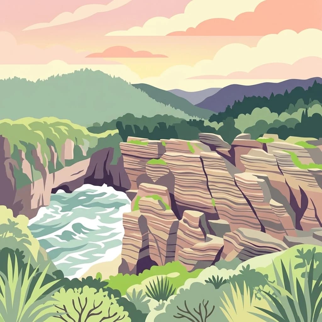
A stylized flat illustration of the Pancake Rocks in Paparoa National Park, featuring layered limestone cliffs meeting the churning ocean surf under a sunset sky.
National parkWest Coast Region
147 km away#6 closest

Northeast

Paparoa National Park: Detailed Geographic Atlas of Karst Formations and Coastal Terrain

Discover protected landscape boundaries and unique New Zealand geology.

Paparoa National Park, located in the West Coast Region of New Zealand, offers a unique window into complex karst geology and dynamic coastal landscapes. This national park is characterized by extensive limestone cave systems, underground rivers, and the famous Pancake Rocks and Blowholes. The park's geography includes dramatic mountain terrain within the Paparoa Range and a striking coastline, providing a rich dataset for mapping protected area context and understanding regional natural features. It stands apart for its subterranean wonders and eroded limestone formations.

Area
429.7 km²
Established
1987
IUCN
II
Relief
Mountain
A watercolor painting showing a panoramic view of lush green hills leading to a water feature, with soft-colored mountains in the background under a pale sky.
Marine protected areaWest Coast
About 157 km away#7 closest

Northeast

Punakaiki Marine Reserve: Mapped Protected Waters and West Coast Geographic Context

Exploring marine habitats and coastal land-sea corridors

Punakaiki Marine Reserve provides a critical look at marine conservation geography in New Zealand. Located along the West Coast, the reserve encompasses a variety of seafloor substrates and coastal formations that define the boundary between the Tasman Sea and the rugged limestone landscapes of the region. This atlas entry provides essential context for understanding the reserve's role in linking terrestrial and marine ecosystems.

Area
35.2 km²
Established
2014
Relief
Lowland
Climate
Temperate
An illustrative aerial perspective of the wide, braided Waimakariri River winding through patchwork agricultural fields and green spaces in the Canterbury region.
Regional parkCanterbury Region
About 159 km away#8 closest

East

Waimakariri River Regional Park: Geography and Protected Landscape Atlas for Canterbury

Braided river corridors and wetland habitats in the Canterbury Region

Waimakariri River Regional Park encompasses a significant managed corridor along the Waimakariri River, featuring an intricate mix of braided riverbeds, saltmarshes, and reforested land. This profile details the park topography, highlighting its role in regional flood management and its varied natural terrain across the Canterbury Plains, providing a clear geographic view of its multi-use protected boundaries.

Area
150 km²
Relief
Lowland
Access
Easy access
Scope
Terrestrial
MoriAtlas Explorer

Aoraki / Mount Cook National Park

Explore the map, landscapes, and protection details for Aoraki / Mount Cook National Park.