South
Gros Morne National Park
Discover its mapped protected boundaries and regional landscape context.
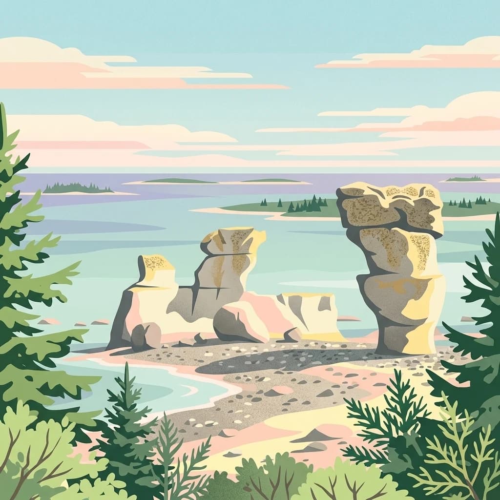
Gros Morne National Park, in Canada. Landscapes: mountains, hills, and valleys.
- Area
- 1,805 km²
- Established
- 2005
- IUCN
- II
- Relief
- Mountain
Mapping regional surroundings and nearby conservation lands in coastal Quebec
Explore the geographic distribution of protected areas located in the vicinity of Baie-de-Brador Migratory Bird Sanctuary. This overview traces regional landscapes, mapped park boundaries, and protected terrain across the Lower North Shore and Gulf of St. Lawrence, providing context for the broader environmental mosaic surrounding these maritime sanctuaries.

A low-lying island sanctuary in the Strait of Belle Isle protecting seabird colonies at the mouth of Brador Bay.
The Baie-de-Brador Migratory Bird Sanctuary is a Canadian protected area set on two small islands at the northeastern end of the Gulf of St. Lawrence, where the St. Lawrence meets the Strait of Belle Isle. Located on Île aux Perroquets and Île Greenly near the Lower North Shore community of Blanc-Sablon, the sanctuary was established in 1925 to safeguard one of Quebec's important seabird nesting sites in a remote maritime setting. Most of the sanctuary's territory is marine rather than terrestrial. Only a small fraction of the protected area actually rises above the sea, with the remainder formed by a surrounding band of coastal waters. This combination of low rocky islands and adjacent sea space gives the sanctuary its character as both a breeding ground for colonial seabirds and a managed marine zone in the cold subarctic Atlantic. The site is recognized as an Important Bird Area (ZICO Baie de Brador) and forms part of the broader island chain of the Estuary and Gulf of St. Lawrence. Its location along a major migratory corridor between the open Atlantic and the Gulf of St. Lawrence gives it enduring ecological significance for nesting, feeding, and seasonal bird movements along the Quebec coast.
See the ranked park cluster in its geographic setting
Distance ranked regional park geography and surrounding protected landscapes

South
Discover its mapped protected boundaries and regional landscape context.
Gros Morne National Park, in Canada. Landscapes: mountains, hills, and valleys.

Northwest
Explore the geography and natural terrain of Newfoundland and Labrador.
Akami−Uapishkᵘ−KakKasuak−Mealy Mountains National Park Reserve, in Newfoundland and Labrador, Canada. Landscapes: mountains, forests, and coasts.
Southwest
Marine-focused wildlife reserve on the Quebec coast
This wildlife reserve protects essential island and offshore foraging grounds in the Gulf of St. Lawrence. Its geography highlights the intersection of protected land and marine environments, creating a critical habitat for North Atlantic seabird populations along the Quebec lower North Shore.

Southeast
Explore mapped boundaries and landscape context.
Terra Nova National Park represents a significant protected area with a distinct geographic footprint within Newfoundland and Labrador. This page provides a detailed atlas-style view of its mapped landscape and protected land status, highlighting its role in the regional geography and Canada's network of natural reserves.

West
Discover its national park geography in Minganie
Mingan Archipelago National Park Reserve is a designated national park offering a distinct protected landscape within the Minganie Regional County Municipality. This entry provides core geographic context and mapped details crucial for atlas exploration. Understand the park's boundaries and its regional landscape setting for comprehensive discovery of Canada's protected natural areas.
West
Mapped protected island terrain in the Minganie region.
The Refuge d'oiseaux migrateurs de Betchouane comprises a cluster of small islands and surrounding marine environments along the north shore of the Gulf of St. Lawrence. This wildlife reserve serves as a critical nesting site, showcasing the intersection of Precambrian geology and marine conservation. Gain a clear understanding of the sanctuary boundaries and the island-focused terrain that defines this unique protected sector of the Minganie coastline.
Southwest
Mapping the protected landscapes of France
The Réserve nationale de faune de l'Île-Saint-Paul provides a focused look at isolated terrain and coastal environmental protection. As a designated wildlife reserve in France, it offers a distinct opportunity to study boundary-driven conservation and regional geography through a mapping perspective that highlights its remote natural character.

Southwest
A mapped complex of parabolic dunes, lagoons, and migratory bird habitats
Located on the Magdalen Islands, Réserve nationale de faune de la pointe de l'Est safeguards an exceptional coastal landscape defined by wind-shaped barrier spits and extensive sand dunes. This protected area offers critical insight into the geography of the Gulf of Saint Lawrence, protecting diverse habitats ranging from salt marshes to rare parabolic dune formations and freshwater wetlands.

Southwest
Discover its national park geography and natural terrain.
Cape Breton Highlands National Park, in Nova Scotia, Canada. Landscapes: mountains, valleys, and plateaus.

Southwest
Explore mapped park boundaries and regional terrain.
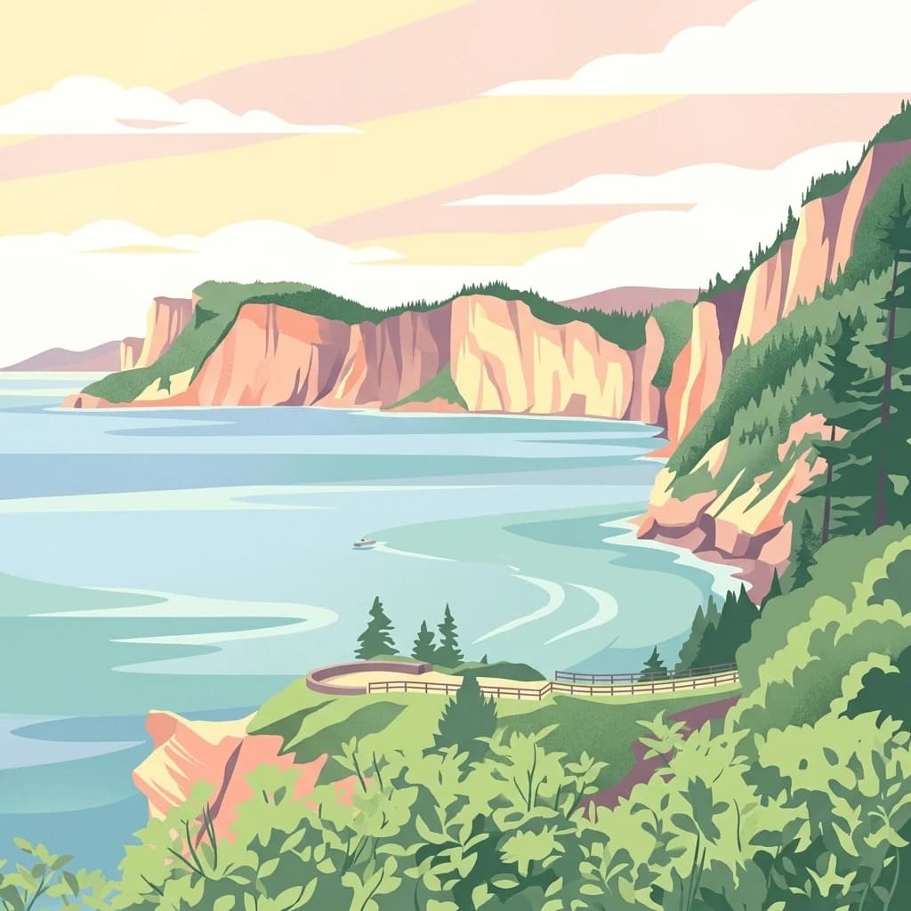
Forillon National Park, in Quebec, Canada. Landscapes: forests, coasts, and cliffs.
South
Wildlife reserve and coastal sanctuary in Nova Scotia
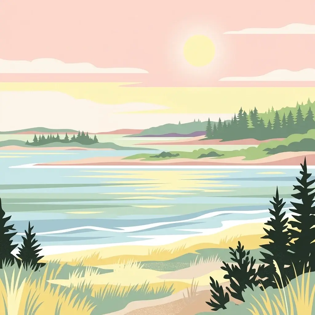
This protected area centers on a brackish coastal lagoon and a dynamic barrier beach system on the Atlantic coast of Nova Scotia. The reserve provides a critical migratory stopover for waterfowl, with terrain that transitions from exposed sandy shores to regenerated coastal forests on reclaimed land, offering a unique example of maritime ecological restoration.
Southwest
Coastal maritime geography and nesting habitats in Nova Scotia
Sea Wolf Island National Wildlife Area constitutes a remote sandstone sanctuary in the Gulf of St. Lawrence. Characterized by steep, eroded cliff faces and isolated terrain, this Canadian protected area remains a significant site for colonial seabird nesting, specifically supporting populations of Great Cormorants and Razorbills within the Atlantic marine ecosystem.

Southwest
Discover its geographic context and natural terrain.
Prince Edward Island National Park offers a distinct protected area for exploration within the Canadian Maritimes. As a national park, it represents a commitment to preserving specific natural landscapes and their geographic characteristics. This resource provides insight into its mapped boundaries, regional setting on Prince Edward Island, and its contribution to the broader atlas of protected lands.

Southwest
Mapped protected area and regional geographic context.
Pituamkek National Park Reserve offers a unique opportunity for atlas-driven discovery, focusing on its protected status as a national park on Prince Edward Island. The page details the park's geographic setting and its role within the broader landscape context of Canada. Explore its specific mapped boundaries and understand its contribution to the network of protected natural areas, providing essential data for geographic research and landscape analysis.
Southwest
A vital estuarine reserve on the New Brunswick coast
Study the coastal terrain of Île-du-Portage National Wildlife Area, an uninhabited island reserve situated at the junction of the Miramichi River and the Northumberland Strait. This overview focuses on the island's role as one of five National Wildlife Areas in New Brunswick, highlighting its significance within the broader estuarine geography and coastal maritime history of the Atlantic region.

Southwest
Mapped protected area boundaries and regional geography.
Kouchibouguac National Park is a designated national park offering a rich canvas for geographic discovery. This entry focuses on understanding its protected landscape, detailing its specific mapped boundaries within New Brunswick. It serves as a vital component for atlas exploration, providing the context needed to grasp the park's natural terrain and its significance within the regional geography.

Southwest
Essential geographic context for a strategic New Brunswick wildlife reserve
Examine the mapped boundaries and complex ecosystem transitions of Réserve nationale de faune du Cap-Jourimain. This federally protected area in New Brunswick offers a distinct look at coastal marshlands, tidal flats, and island topography situated at the narrowest point of the Northumberland Strait.
Southwest
Mapped island habitats and protected Atlantic coastal terrain
Explore the protected landscape of Réserve nationale de faune de l'Île-Country, a 21-hectare wildlife reserve off the coast of Nova Scotia. This detailed overview focuses on the island's coastal mosaic of cobble ridges, shrub thickets, and meadow habitats that form a vital refuge for migratory seabird colonies within the Canadian Atlantic maritime region.

Southwest
Nova Scotia Wildlife Reserve and Managed Marshland Habitat
Amherst Point Migratory Bird Sanctuary protects a significant freshwater marsh and ponded wetland network in Nova Scotia. This reserve is defined by its engineered diked impoundments and role as a crucial stopover for migratory birds in the Atlantic flyway, offering a clear window into managed wetland conservation and coastal marsh terrain.
South
Explore protected area boundaries and natural terrain in this Canadian national park.
Delve into the atlas-focused details of Sable Island National Park Reserve, a Canadian national park defined by its protected landscape identity. Understand its position within the broader geography of Canada, exploring its mapped terrain and the significance of its protected status for informed discovery. This entry provides core geographic and park data.
Geographic measurements, not driving distances
Calculated between the nearest points of both park boundaries.
Estimated from one mapped park location to the nearest boundary of the other park.
Estimated between the mapped locations of both parks.
Trace the coastal boundaries and maritime significance of this historic Quebec wildlife reserve. MoriAtlas provides a structured look at the island terrain and the surrounding marine zones that define this essential node in the eastern Canadian bird conservation network.