
Mori Atlas logo
Nature reserveBlack Bulga State Conservation Area

Mapping the ecological transition between coastal lowlands and the Barrington Tops plateau

Black Bulga State Conservation Area: A Protected Forest Landscape in the Hunter Region

Black Bulga State Conservation Area preserves 1,554 hectares of dense wet sclerophyll eucalyptus forest and sheltered subtropical rainforest in the Hunter Region of New South Wales. This protected terrain serves as a vital refuge for east Australian forest wildlife while showcasing a complex landscape of ridges, gullies, and grassy woodland transitions. The area reflects a significant history of community advocacy in defending the ecological integrity of the Barrington Tops foothills.

state conservation areawet sclerophyll forestsubtropical rainforesteucalyptus forestHunter RegionBarrington Tops foothills
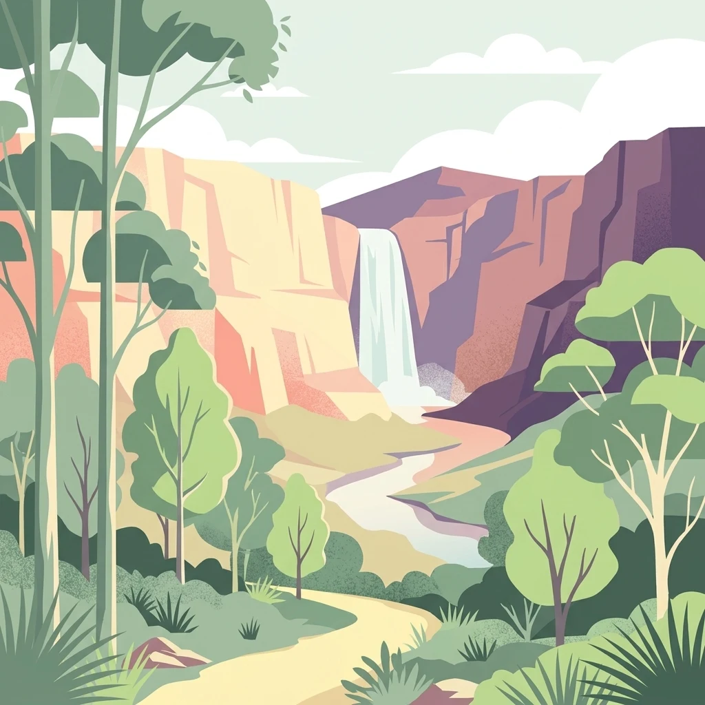
A flat-style digital illustration depicting a waterfall dropping from rocky cliffs into a winding river, surrounded by eucalyptus-style trees and shrubs.

Black Bulga State Conservation Area

Nature reserve

Park overview

Structured park overview, official facts, and landscape profile for Black Bulga State Conservation Area

Black Bulga State Conservation Area park facts, protected area profile, and essential visitor context

Review the core facts for Black Bulga State Conservation Area, including designation, size, terrain, visitor scale, habitats, and operating context in one park-focused overview.

About Black Bulga State Conservation Area

Black Bulga State Conservation Area occupies a forested tract near the Barrington Tops, at the southern edge of the Hunter Region in New South Wales. It lies roughly 16 kilometres from Dungog and falls within a broader landscape shaped by long-running forestry activity in the Chichester and Trevor State Forests, from which the conservation area was formally carved out in 2003. The reserve covers about 1,554 hectares and is administered by the NSW National Parks and Wildlife Service as a State Conservation Area, a protected-area category dedicated to preserving bushland that combines natural values with relatively low-intensity public access.

The terrain is undulating and forested, with creek-lined valleys and ridges that support a mix of wet sclerophyll eucalyptus forest on the upper slopes and more sheltered, moisture-loving rainforest in the gullies. Higher elevations within the reserve carry stands of tall grass trees, which add a distinctive grassy understorey character to the bushland. The location, close to the foothills of the Barrington Tops, places Black Bulga within the transition zone between coastal lowland forests and the cooler, higher-altitude forests further north.

Forestry has visibly shaped the area, as several of the dominant eucalypt species, including Sydney blue gum, tallowwood, white mahogany, and spotted gum, were historically targeted for timber harvest. Despite this history, the reserve retains patches of subtropical rainforest containing species such as Australian red cedar, scentless rosewood, native tamarind, citronella, and rose maple, which contribute to its broader ecological significance beyond the logged eucalyptus forest.

Wildlife values are equally central to the reserve's identity. Koalas inhabit the forest canopy, while eastern grey kangaroos and red-necked wallabies are common in the more open areas, and greater gliders move through the taller eucalypt stands. Together, these features make Black Bulga a representative example of wet sclerophyll forest conservation in the Hunter Region and a touchstone for ongoing debates about forest protection in New South Wales.

Quick facts and research context for Black Bulga State Conservation Area

Black Bulga State Conservation Area is situated in the Hunter Region of New South Wales, near the edge of the Barrington Tops, about 16 kilometres from Dungog. The reserve spans roughly 1,554 hectares of forested country and is managed by the NSW National Parks and Wildlife Service.

It was gazetted as a State Conservation Area in 2003, having previously been part of Trevor State Forest and Chichester State Forest. Vegetation is dominated by wet sclerophyll eucalyptus forest with areas of subtropical rainforest, and the area supports typical east Australian forest fauna including koalas, kangaroos, wallabies, and greater gliders.

Protection and recognition

Documented terrestrial protection scope, management records, and formal recognition history

Black Bulga State Conservation Area Protection Status and International Recognition Data

Black Bulga State Conservation Area maintains a documented terrestrial protection scope within the global conservation framework. Review the recorded protection status and official recognition history associated with this protected natural landscape.

Protection details

Protection scope
Terrestrial
Park context

Deeper park guide and search-rich context for Black Bulga State Conservation Area

Black Bulga State Conservation Area history, landscape, wildlife, and travel context

Explore Black Bulga State Conservation Area through its history, landscape character, ecosystems, wildlife, conservation priorities, cultural context, and seasonal travel timing in a structured park guide built for atlas discovery and search intent.

Why Black Bulga State Conservation Area stands out

Black Bulga is best known for its tall wet sclerophyll forest dominated by Sydney blue gum, tallowwood, white mahogany, and spotted gum, together with lower-elevation subtropical rainforest patches containing species such as Australian red cedar. The reserve is also notable for its community-led conservation history, having been created in 2003 through local advocacy and later defended against a 2013 proposal to permit logging within New South Wales state conservation areas. The landscape combines forested ridges, sheltered gullies, and higher-altitude grassy understorey punctuated by grass trees, giving the reserve a layered character typical of the transition zone between the coastal lowlands and the Barrington Tops plateau.
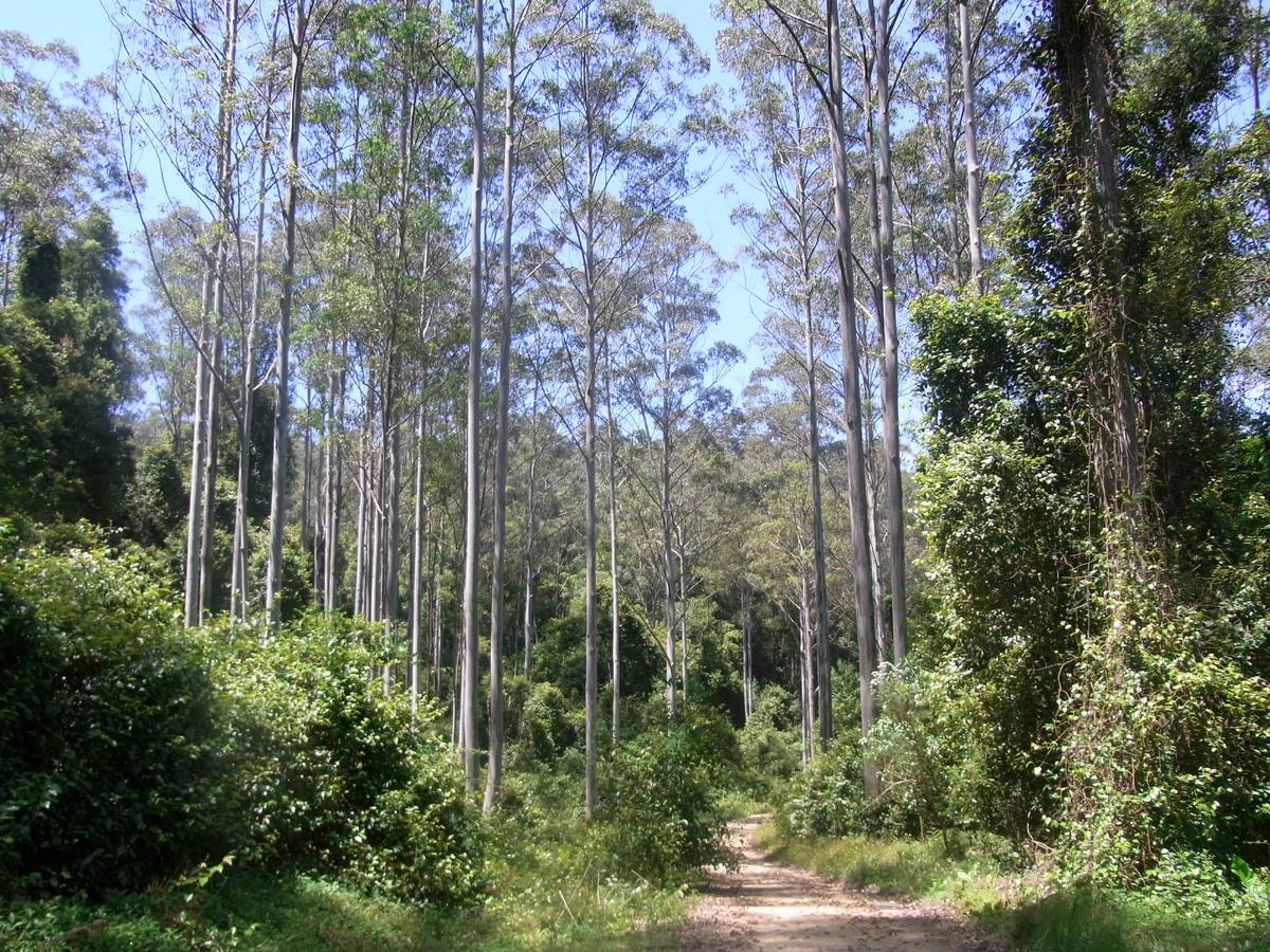
A dirt path leads into a dense forest of tall, slender eucalyptus trees in Black Bulga State Conservation Area.
Tall eucalyptus trees standing in the Black Bulga State Conservation Area.

Black Bulga State Conservation Area history and protected-area timeline

Black Bulga State Conservation Area has a relatively recent formal protection history. Land that now forms the reserve was previously part of Trevor State Forest and Chichester State Forest, areas that had been used over many decades for timber harvesting. In 2003, the area was converted into a State Conservation Area under the management of the NSW National Parks and Wildlife Service, following sustained local advocacy.

A community-based group known as the Black Bulga Range Action Group played a central role in the reserve's creation. Composed of local residents and concerned individuals, the group campaigned for the formal protection of what they regarded as a unique bushland area, and their efforts underpinned the 2003 gazettal of the conservation area.

The reserve's protected status was tested again in 2013, when the Government of New South Wales recommended allowing logging within national parks and considered changes affecting state conservation areas. The Black Bulga Range Action Group was again active during this period, working to ensure the continued protection of the area. Their efforts were ultimately successful, and the reserve retained its conservation status. The episode highlighted both the contested history of forest use in the Hunter region and the role of community-led groups in defending small but ecologically significant bushland reserves.

Black Bulga State Conservation Area landscape and geographic character

The landscape of Black Bulga State Conservation Area is shaped by the transition between coastal lowlands and the higher country of the Barrington Tops. The terrain is undulating, with forested ridges, sheltered valleys, and small creek lines that support a varied forest structure across the reserve.

On the broader slopes, the bushland is dominated by tall wet sclerophyll forest, in which large eucalypts rise above a ferny understorey. Heavier soils and moister, sheltered gullies support pockets of subtropical rainforest, where broad-leaved species create a denser, more closed canopy quite distinct from the taller eucalypt forest around it. At higher altitudes within the reserve, the understorey takes on a grassier character, with tall grass trees rising among the eucalypts and producing a more open, layered woodland appearance.

The reserve's position near the Barrington Tops foothills means that topography, soils, and elevation interact across short distances, leading to abrupt shifts between forest types within a relatively compact area. This variety of landforms, from ridgelines to sheltered gullies and elevated grassy ridgelines, gives Black Bulga a layered and ecologically diverse physical setting despite its modest overall size.

Black Bulga State Conservation Area ecosystems, habitats, and plant life

Black Bulga protects a representative cross-section of wet sclerophyll eucalyptus forest typical of the Hunter region, together with smaller patches of subtropical rainforest that take advantage of the moister, sheltered microclimates within the reserve. The dominant vegetation type is wet sclerophyll forest, which combines a tall overstorey of large eucalypts with a moist, fern-rich understorey.

The eucalypt overstorey includes species such as Sydney blue gum, tallowwood, white mahogany, and spotted gum, all of which have been historically important timber trees in the surrounding state forests. Although the forest had been logged in earlier decades, regeneration of Sydney blue gum and related species is now a prominent feature of the canopy across much of the reserve, and the woodland structure has gradually recovered under protection.

Rainforest communities are concentrated in gullies and other sheltered sites, where Australian red cedar, scentless rosewood, native tamarind, citronella, and rose maple contribute to a distinctly different forest type within the conservation area. At higher elevations, tall grass trees add a grassy woodland character to the bushland. The presence of these varied vegetation types within a relatively small area gives Black Bulga considerable ecological diversity and makes it a useful site for understanding forest transitions on the western edge of the New South Wales coastal forest belt.

Black Bulga State Conservation Area wildlife and species highlights

Wildlife at Black Bulga reflects the broader character of wet sclerophyll forest in the Hunter region, with a mix of arboreal marsupials, ground-dwelling herbivores, and other forest animals that depend on the tall eucalyptus canopy and the sheltered rainforest patches within the reserve.

Koalas inhabit the forested parts of the conservation area, where the tall eucalypts provide both food and shelter. Eastern grey kangaroos and red-necked wallabies are among the more conspicuous ground-dwelling mammals, moving through the more open grassy woodland edges and between stands of forest. Greater gliders, which depend on old-growth hollows and a connected canopy, are also recorded in the area, highlighting the importance of large mature trees in the reserve's ecology.

Beyond these headline species, the wider wet sclerophyll and rainforest habitats support typical east Australian forest fauna. The combination of tall eucalypt forest, sheltered rainforest pockets, and grass tree woodland at higher altitudes creates a range of habitat niches, allowing Black Bulga to support a richer mix of forest animals than its relatively small size might suggest.

Black Bulga State Conservation Area conservation status and protection priorities

Black Bulga State Conservation Area represents a meaningful conservation outcome for wet sclerophyll forest in the Hunter Region. Prior to its 2003 designation, the area was part of active state forest and had been logged for its commercially valuable eucalypts. Its conversion to a State Conservation Area halted further timber harvesting and placed the remaining forest and rainforest patches under formal protection, allowing natural regeneration processes to continue.

The reserve's conservation significance is enhanced by the presence of both wet sclerophyll eucalyptus forest and smaller rainforest communities, which together provide habitat for a mix of forest-dependent species. Species such as the greater glider, which relies on mature trees with hollows, benefit from the retention of older growth forms and the cessation of active logging.

The 2013 episode, in which the reserve's status came under review during a broader New South Wales debate about logging in national parks and state conservation areas, underscored both the political vulnerability of small bushland reserves and the effectiveness of organised community advocacy in protecting them. The successful defence of Black Bulga's protected status has come to symbolise the role that local groups can play in maintaining the long-term integrity of the conservation estate in the Hunter region.

Black Bulga State Conservation Area cultural meaning and human context

Black Bulga's cultural significance is closely tied to the history of forestry in the Chichester and Trevor State Forests and to the local community that organised around the reserve's creation and defence. The Black Bulga Range Action Group, formed by local residents and concerned individuals, gave the reserve a distinctive grassroots identity within the broader landscape of New South Wales forest politics.

The reserve is part of the Hunter Region's broader story of tension between timber harvesting and conservation, a debate that has shaped the region's forests for decades. Black Bulga sits on the margins of that debate, having moved from being part of working state forest to being a community-protected bushland reserve, reflecting a shift in how local bushland has come to be valued within the region.

Top sights and standout views in Black Bulga State Conservation Area

Among the reserve's standout features are its tall wet sclerophyll eucalyptus forest, including regenerating Sydney blue gum stands; the smaller but ecologically important patches of subtropical rainforest; the presence of characteristic forest wildlife such as koalas, eastern grey kangaroos, red-necked wallabies, and greater gliders; and its setting near the foothills of the Barrington Tops.

The reserve is also notable for its community-led conservation history, having been created through local advocacy in 2003 and successfully defended during a 2013 review of logging in New South Wales state conservation areas. Together, these features make Black Bulga a compact but ecologically rich example of community-driven bushland protection in the Hunter.

Best time to visit Black Bulga State Conservation Area

Black Bulga's character shifts with the seasons in ways typical of the wet sclerophyll forests of the Hunter region. Cooler months generally bring crisper conditions, milder temperatures in the lower valleys, and a more open atmosphere under the tall eucalypts, while warmer months bring lusher understorey growth and more active wildlife movement. Spring often produces a striking mix of fresh leaf growth and flowering events in the eucalypt canopy, while autumn tends to settle into calmer, drier conditions that make the grassy higher-elevation woodland particularly accessible. The dense rainforest pockets remain shaded and humid year-round, offering a different atmosphere regardless of season.

Monthly climate preview

Monthly temperature ranges and precipitation rhythm across the conservation area

Black Bulga State Conservation Area Climate Normals and Temperature Patterns

Representative coordinates track long-term average temperatures from 11.75 degrees Celsius to 24.01 degrees Celsius alongside recorded monthly precipitation normals. The complete profile records historical weather by month to compare baseline climate shifts across the protected landscape.
Annual mean18 °C
12 °C24 °C
Jan24°
Feb23°
Mar21°
Apr18°
May15°
Jun13°
Jul12°
Aug13°
Sep16°
Oct18°
Nov21°
Dec22°
Warmest month
January

24 °C

Coolest month
July

11.8 °C

Wettest month
February

4.4 mm/day

Driest month
August

1.6 mm/day

Park location guide

Geography guide, regional context, and park location map for Black Bulga State Conservation Area

Black Bulga State Conservation Area park geography, regions, and map view in Australia

Understand where Black Bulga State Conservation Area sits in Australia through a broader geographic reading of the surrounding landscape, nearby location context, and its mapped position within the national park landscape.

How Black Bulga State Conservation Area fits into Australia

Australia is a constitutional monarchy and federal parliamentary democracy comprising six states and ten territories. With a population of nearly 28 million, it is one of the world's most urbanised countries, with most people concentrated on the eastern seaboard. The country has a high Human Development Index and is known for its cultural diversity, ancient Aboriginal heritage, and unique wildlife.

Wider geography shaping Black Bulga State Conservation Area in Australia

Australia occupies the entire Australian continent, the island of Tasmania, and numerous smaller islands. It is the world's flattest and driest inhabited continent, featuring vast deserts in the interior (the Outback), tropical rainforests along the eastern coast, and a coastline bordering the Indian and Pacific Oceans.

Map view of Black Bulga State Conservation Area

Use this park location map to pinpoint Black Bulga State Conservation Area in Australia, understand its exact geographic position, and read its mapped placement within the surrounding landscape more clearly.

Pigeon | © OpenStreetMap contributors

Location context for Black Bulga State Conservation Area

New South Wales

Visual reference guide to wet sclerophyll forests, rainforest gullies, and protected bushland terrain

Black Bulga State Conservation Area Photos, Landscapes, and Scenery

Visual records reveal the diverse forest structures and undulating topography defining Black Bulga State Conservation Area. Examining field photography helps researchers evaluate canopy patterns, shelter zones, and the distinct environmental transition near the Barrington Tops foothills.

A dirt path leads into a dense forest of tall, slender eucalyptus trees in Black Bulga State Conservation Area.

Park atlas

Compare adjacent forest reserves, regional ecosystems, and connected protected landscapes.

Explore Other Parks Near Black Bulga State Conservation Area And Surrounding Protected Lands

Browse other parks and protected areas near Black Bulga State Conservation Area to examine regional forest structures and transitional woodland terrain. Expanding the geographic view reveals how neighboring conservation zones and foothill habitats connect across the wider Hunter Region.
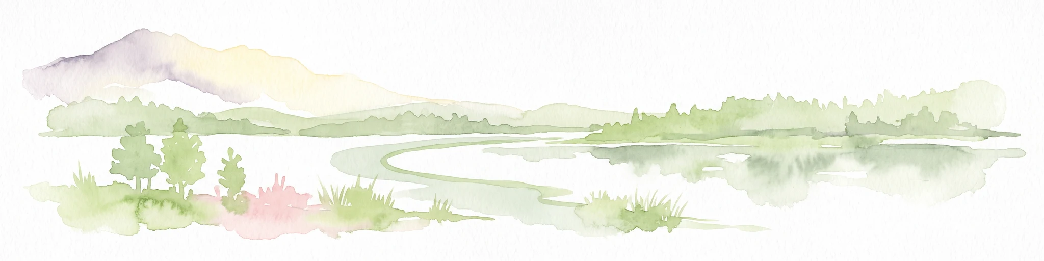
Watercolor illustration of a river flowing through hills with distant mountains and pink trees
National parkNew South Wales
5.2 km away#1 closest

Northwest

Barrington Tops National Park: A Protected National Park in New South Wales

Explore ancient Gondwana rainforests and dramatic volcanic terrain.

Barrington Tops National Park represents a significant protected landscape in New South Wales, Australia, offering a deep dive into diverse ecosystems. Its unique altitudinal vegetation gradient supports the southernmost subtropical rainforests in Australia and showcases geological formations dating back millions of years. This park is crucial for understanding Australia's natural heritage, providing a rich context for landscape exploration and the study of ancient flora within a mapped geographic setting.

Area
765.12 km²
Established
1969
IUCN
Ib
Relief
Mountain
Nature reserveNew South Wales
About 22 km away#2 closest

Northeast

The Glen Nature Reserve: Protected Forest Geography and Mapped Sanctuary in New South Wales

Conservation-focused landscape in the Hunter Region

Covering over 2,700 hectares, The Glen Nature Reserve protects a rich mosaic of sub-tropical sclerophyll forest and creek-lined gullies in the Hunter Region. The reserve provides essential habitat for threatened wildlife and represents a key node in the protected land network of eastern New South Wales, highlighting the intersection of forest types and local watershed topography.

Area
27.5 km²
Established
1999
IUCN
Ia
Relief
Upland
National parkNew South Wales
23 km away#3 closest

East

Ghin-Doo-Ee National Park: National Park Protected Area Exploration in New South Wales

Mapped landscape and regional geography for Ghin-Doo-Ee National Park.

Ghin-Doo-Ee National Park represents a key component of Australia's protected lands, situated within the diverse geography of New South Wales. This park offers a structured point of entry for understanding its specific mapped boundaries, terrain characteristics, and its role as a national park. Users can delve into its unique landscape features and regional geographic context, contributing to a broader appreciation of conservation areas and natural atlas exploration.

Area
47.936 km²
Established
1999
IUCN
II
Relief
Upland
National parkNew South Wales
23 km away#4 closest

Southeast

Myall Lakes National Park National Park: Mapped Boundaries and Protected Landscape Exploration

Discover its regional geography and natural terrain context.

Delve into the specific protected landscape and geographic features of Myall Lakes National Park. As a national park located in New South Wales, it provides critical atlas context for understanding protected areas and their distribution. Explore its mapped terrain and boundaries to gain a deeper appreciation for this significant natural area within Australia's geography.

Area
448 km²
Established
1972
IUCN
II
Relief
Lowland
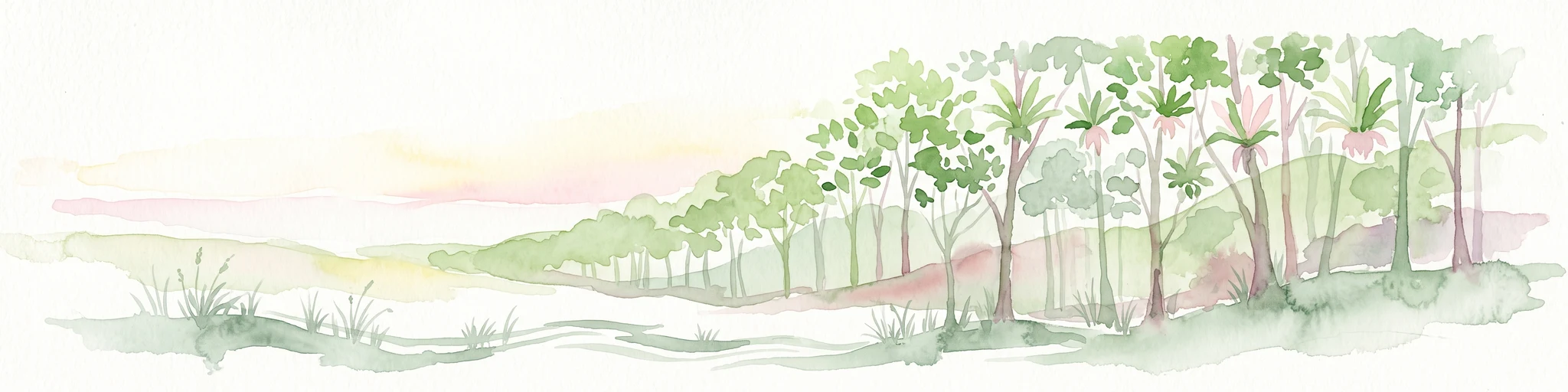
A soft watercolor painting of a forest landscape with slender trees and grasses, rendered in light green, pink, and neutral tones.
State or regional parkNew South Wales
24 km away#5 closest

North

Copeland Tops State Conservation Area: Geography and Protected Land Overview in New South Wales

Mapping forest ecosystems and historic industrial relic landscapes.

Copeland Tops State Conservation Area provides a distinct look at the Hunter Region landscape, offering an unusual blend of dry rainforests with massive Moreton Bay figs and red cedar alongside expansive wet sclerophyll forests. The reserve functions as an essential habitat for koalas, wombats, and greater gliders, while the Mountain Maid gold mine remnants offer insight into the local nineteenth century history hidden within these sheltered valleys.

Area
22.01 km²
Established
2003
Relief
Upland
Scope
Terrestrial
National parkNew South Wales
40 km away#6 closest

West

Mount Royal National Park: A National Park in New South Wales for Geographic Discovery

Explore its protected boundaries and landscape context.

Mount Royal National Park is a key protected area in New South Wales, offering an opportunity to delve into its specific geographic identity and mapped landscape features. As a national park, it provides structured data for understanding protected lands within Australia. This detailed entry supports exploration of the park's unique regional context and its contribution to the broader atlas of natural landscapes.

Area
69 km²
Established
1997
IUCN
II
Relief
Mountain
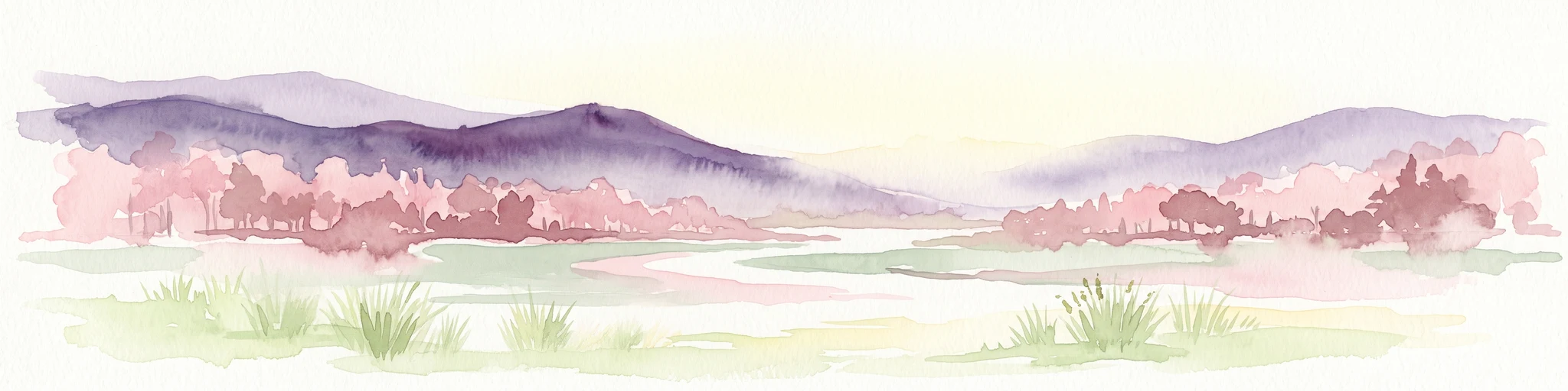
A horizontal watercolor painting depicting a soft landscape with distant purple hills, a meandering stream, and green grassy foreground vegetation.
Protected areaNew South Wales
44 km away#7 closest

Northwest

Barrington Tops State Conservation Area: Protected Plateau and Volcanic Landscape Context

Highland geography within the Mount Royal Range, New South Wales

This protected area represents a significant upland region in New South Wales, characterized by weathered plateau edges and cool mountain environments. The terrain supports high-altitude peat wetlands and diverse montane forests, rooted in the ancient geological legacy of the Barrington Volcano. Its protected boundaries link directly to the Gondwana Rainforests, providing essential habitat continuity across the Great Dividing Range.

Area
84.46 km²
Established
2003
Relief
Mountain
Climate
Temperate
National parkNew South Wales
45 km away#8 closest

North

Woko National Park: Explore Its Protected Landscape and Geographic Boundaries

Discover the mapped terrain and regional atlas context of Woko National Park.

Woko National Park presents a unique opportunity for geographic discovery, situated within New South Wales, Australia. This detail page focuses on the park's protected landscape and its mapped boundaries, providing a clear understanding of its geographic identity. Engage with Woko National Park as a key component of the Australian national park atlas, highlighting its regional setting and natural terrain.

Area
85.98 km²
Established
1982
IUCN
II
Relief
Highland

Common questions about visiting, size, designation, and location context for Black Bulga State Conservation Area

Black Bulga State Conservation Area FAQs for park facts, access, geography, and protected area context

Find quick answers about Black Bulga State Conservation Area, including protected-area facts, park geography, trail and visitor context, and how the park fits into its surrounding country and regional landscape.
MoriAtlas Explorer

Continue Your Protected Areas Search Across the Global Atlas

Deepen your exploration by continuing the structured search for national parks and protected areas worldwide. Utilize the comprehensive filtering capabilities to compare different conservation landscapes and refine your understanding of global park geography. Discover more about the distribution and characteristics of protected natural areas.

Global natural geography