Mori Atlas logo
Nearby park discovery

Mapping the geographic landscape and regional park boundaries in south central Utah

Parks near Capitol Reef National Park

Compare protected areas near Capitol Reef National Park, ordered by geographic distance. They include Glen Canyon NRA and Manti-La Sal.

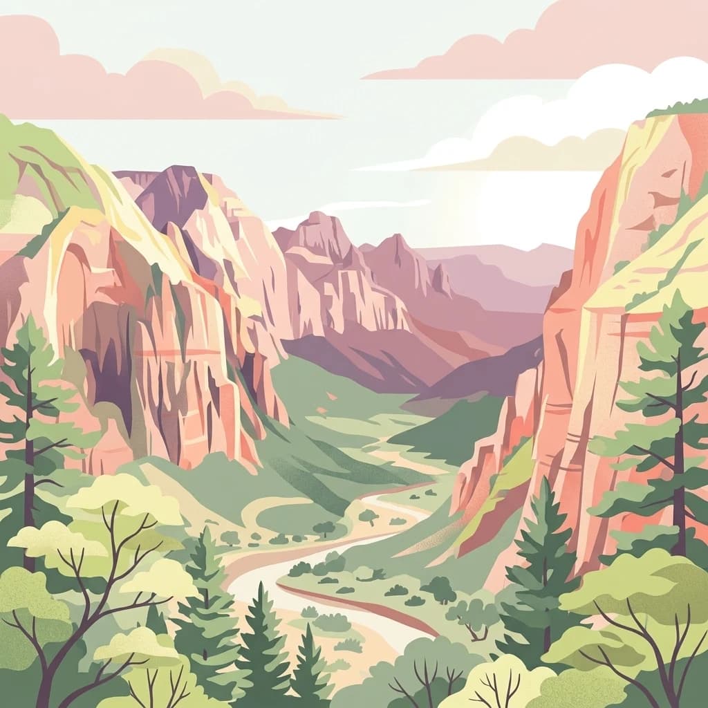
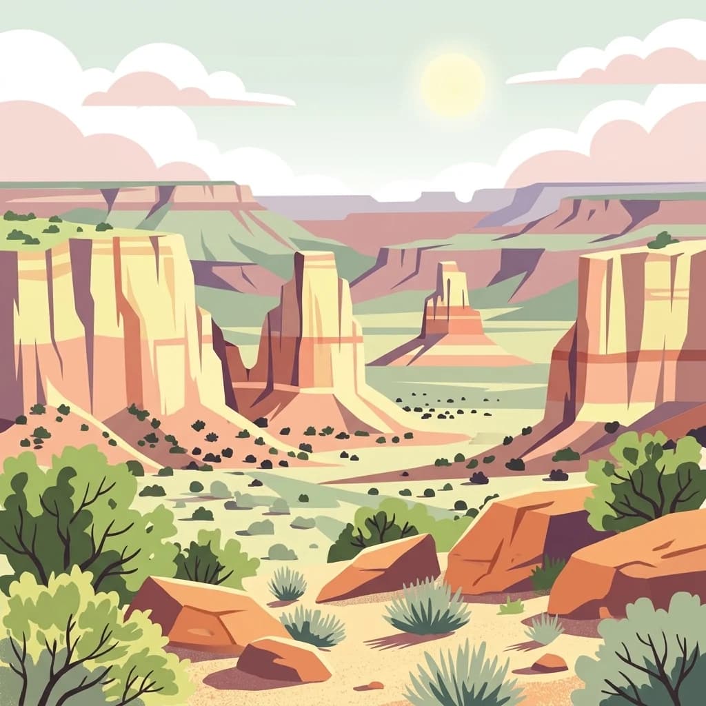
A flat-style digital illustration of a desert canyon landscape with tall rock formations, sparse desert shrubs, and a bright sun in a pale sky.

Desert landscape preserving the Waterpocket Fold monocline

Capitol Reef National Park

Capitol Reef National Park is a unit of the United States National Park Service located in south-central Utah. The park preserves approximately 241,904 acres of rugged desert landscape centered on the Waterpocket Fold, a massive geological monocline that extends for nearly 100 miles through the Colorado Plateau. This north-south trending formation, formed approximately 65 million years ago during the Laramide orogeny, represents the largest exposed monocline in North America. The park is named for the distinctive white domes of Navajo Sandstone that resemble the dome of the United States Capitol building. The Fremont River cuts through the fold, creating canyons and providing the rare presence of water in this otherwise arid landscape. Capitol Reef stands apart from Utah's more famous national parks as a quieter, less-visited destination that rewards travelers with spectacular geological formations, dark night skies, and remnants of human history dating back over a thousand years.

Location
United States of America
Park type
National park
Established
1971
Area
979 km²
Capitol Reef National Park Protected Landscape
Regional park map

See the ranked park cluster in its geographic setting

Nearby parks around Capitol Reef National Park

This regional map shows the same 20 nearby parks ranked below around Capitol Reef National Park. Select a ranked marker to highlight that park’s boundary where boundary data is available.
Reference park: Capitol Reef National ParkRanked nearby parkSelected boundary: Capitol Reef National Park20 nearby parks shown
20 nearby parks

Distance-ranked conservation landscapes and regional park geography comparisons

Parks and Protected Areas Geographically Near Capitol Reef National Park

Examine the ranked collection of parks and protected areas located geographically near Capitol Reef National Park to evaluate surrounding terrain patterns. Compare regional boundary proximity and recorded environmental characteristics to understand broader protected landscape contexts.
A horizontal watercolor painting showing a soft-focus landscape with a pale river winding through desert terrain under a hazy sky, with stylized cacti in the foreground.
Protected landscapeUnited States of America
Park boundaries overlap#1 closest

South

Glen Canyon National Recreation Area: Protected Landscape and High Desert Geography Map

Colorado Plateau canyons, sandstone strata, and reservoir environments

Explore the geological architecture of Glen Canyon National Recreation Area, a vast federal protected landscape. The area showcases towering Navajo Sandstone cliffs, deep blue reservoir arms, and remote backcountry canyons that exemplify the distinct high desert terrain of the Colorado Plateau in the United States.

Area
5,075.23 km²
Established
1972
Visitors
5.2M annual
Relief
Upland
A watercolor painting showing a panoramic view of rolling green mountains with a winding stream through a forested valley.
Protected landscapeUtah
45 km away#2 closest

North

Manti, La Sal National Forest: Geographic Overview of Utah's Mountain and Canyon Landscapes

Mapped protected forest boundaries across the Colorado Plateau

Spanning over one million acres, Manti, La Sal National Forest defines a critical segment of Utah geography. This protected landscape encompasses diverse terrain including subalpine mountains, aspen-rich uplands, and deep canyon networks. Use this atlas to examine the distinct environmental characteristics that separate the northern forested plateaus from the southern wilderness canyons.

Area
5,143.09 km²
Established
1950
IUCN
V
Visitors
900K annual
A stylized, flat-design illustration of a desert canyon landscape with mesas, a winding river, and distant buttes under a soft sunset sky.
National parkUtah
78 km away#3 closest

East

Canyonlands National Park

Explore its vast geography and protected area boundaries.

Canyonlands National Park, in Utah, United States of America. Landscapes: canyons, plateaus, and hills.

Area
1,366.21 km²
Established
1964
IUCN
II
Visitors
818.5K annual
A digital illustration showing a scenic view of colorful hoodoo rock spires and evergreen trees in Bryce Canyon.
National parkUtah
86 km away#4 closest

Southwest

Bryce Canyon National Park

Explore the unique geology and protected boundaries of Bryce Canyon National Park.

Bryce Canyon National Park, in Utah, United States of America. Landscapes: plateaus, cliffs, and canyons.

Area
145.02 km²
Established
1928
IUCN
II
Visitors
2.5M annual
A graphic illustration of the Grand Canyon showing layered geological rock formations, distant ridgelines, and pine trees in the foreground.
National parkArizona
102 km away#5 closest

South

Grand Canyon National Park

Explore mapped boundaries and regional atlas context.

The Grand Canyon exposes layers of rock across a vast canyon landscape in Arizona.

Area
4,926.08 km²
Established
1919
IUCN
II
Visitors
4.9M annual
A horizontal watercolor illustration showing a calm lake in the foreground, surrounded by grassy banks, evergreen trees, and rolling mountains in the distance under a pale sky.
Protected landscapeArizona
129 km away#6 closest

Southwest

Kaibab National Forest: Protected Plateau Landscapes and Forested Geography in Arizona

High-elevation forest terrain bordering the Grand Canyon

Spanning over 1.6 million acres in Arizona, Kaibab National Forest is characterized by its split geographic configuration, with distinct sections flanking the North and South rims of the Grand Canyon. The terrain ranges from the high-altitude Kaibab Plateau to volcanic uplands near Williams, encompassing four designated wilderness areas and varied forest ecosystems that provide a critical buffer for the surrounding canyon country.

Area
6,500 km²
Established
1909
Relief
Mountain
Climate
Temperate
A digital illustration of Delicate Arch in Arches National Park, set against a desert landscape with scrub vegetation and distant mesas.
National parkUtah
133 km away#7 closest

Northeast

Arches National Park

Explore mapped terrain and geographic context.

Arches National Park, in Utah, United States of America. Landscapes: plateaus and cliffs.

Area
310.31 km²
Established
1971
IUCN
II
Visitors
1.5M annual
Watercolor painting of a soft landscape featuring distant mountains, rolling hills with light vegetation, and a winding stream in the foreground.
Wildlife reserveUtah
About 147 km away#8 closest

North

Mount Nebo Wilderness: Protected Alpine Ridges and Canyons of the Southern Wasatch Range

Exploring the high-elevation terrain and geological diversity of central Utah

Mount Nebo Wilderness offers a detailed look at the southern terminus of the Wasatch Range, featuring high-altitude summits, subalpine forested corridors, and the iconic badland formations of the Devil's Kitchen. This protected area provides a critical geographic anchor for the region, overlooking Utah Valley and connecting to the wider desert landscapes of the Great Basin through a series of rugged mountain canyons and high-elevation ridgelines.

Relief
Mountain
Climate
Alpine
Access
Moderate access
Scope
Terrestrial
A minimalist watercolor painting depicting a pale desert landscape with soft green hills and light reddish rock formations against a white background.
Wildlife reserveArizona
164 km away#9 closest

Southwest

Kanab Creek Wilderness: Protected Canyon Landscapes and Geography of Northern Arizona

Extensive tributary canyon systems and plateau terrain

Kanab Creek Wilderness represents a vast protected area in northern Arizona, defined by deep gorges and vertical cliffs etched into the Kanab and Kaibab Plateaus. This geographic atlas entry provides insights into the canyon network that feeds the Colorado River, highlighting the extreme elevation gradients and archaeological significance of this rugged wilderness.

Area
305 km²
Established
1984
IUCN
Ib
Relief
Upland
A stylized digital illustration of a deep canyon with high, layered red and tan sandstone cliffs on both sides, with a winding road or riverbed flowing through the valley floor, flanked by evergreen trees in the foreground.
National parkUtah
167 km away#10 closest

Southwest

Zion National Park National Park: Detailed Mapped Geography and Protected Landscape Identity

Explore the mapped terrain and regional context of this Utah national park.

Zion National Park represents a key protected area within Utah, ideal for detailed geographic exploration. This canonical page offers insights into the park's specific mapped boundaries, its inherent landscape character, and its regional geographic setting. It is designed for users seeking to understand the atlas-level significance of Zion National Park as a national park entity, focusing on its protected terrain and natural geography.

Area
593.26 km²
Established
1919
IUCN
II
Visitors
4.9M annual
Wildlife reserveWashington County
About 180 km away#11 closest

Southwest

LaVerkin Creek Wilderness: Mapping Protected Landscapes in Southwestern Utah

Wildlife reserve and watershed protection in Washington County

This protected area unit serves as a critical buffer for the upper LaVerkin Creek corridor. Its terrain spans the transition from high-elevation forested plateaus to deeply carved sedimentary canyons. By maintaining an unroaded status, the wilderness preserves essential riparian habitats and geological features that define the character of the surrounding southwestern Utah plateau region.

Area
1.8 km²
Established
2009
IUCN
Ib
Relief
Highland
Digital illustration of a rugged mountain range behind a dense conifer forest, featuring a foreground wooden gate and a small rustic cabin.
Protected landscapeColorado
184 km away#12 closest

East

San Juan National Forest: Geographic Overview of a Major Southern Colorado Protected Landscape

Mapped terrain across the Southern San Juan Mountains

San Juan National Forest represents a massive protected landscape in western Colorado, defined by its rugged alpine peaks, dense conifer forests, and glacial valleys. This atlas entry details the forest boundary, its position along the Continental Divide, and the surrounding transition into the Colorado Plateau. It provides a structured look at the terrain that connects diverse ecosystems, from high-altitude tundra to expansive mesa country, within one of the largest national forests in the American West.

Area
7,603.42 km²
Established
1905
Relief
Mountain
Climate
Alpine
A soft watercolor illustration depicting layered green hills in the foreground with faint mountain outlines in the background against a white background.
Wildlife reserveUtah
203 km away#13 closest

North

Mount Timpanogos Wilderness: Mapping the Protected Alpine Landscape and High Wasatch Terrain

An iconic Utah protected area within the northern Wasatch Range.

Mount Timpanogos Wilderness preserves a dramatic segment of the Wasatch Range, centering on an iconic summit that rises above glacial basins and forested slopes. This protected area offers a distinct study of alpine geology, featuring high-altitude cirques, steep ridges, and the prominent presence of Emerald Lake. As a critical piece of Utah wilderness, it anchors the skyline above the urban corridor, providing a concentrated look at regional mountain ecosystems and rugged natural terrain.

Area
42.56 km²
Established
1984
IUCN
Ib
Relief
Mountain
National parkMontezuma County
207 km away#14 closest

Southeast

Mesa Verde National Park

Discover the mapped terrain and regional context of this national park.

Mesa Verde National Park, in Montezuma County, United States of America. Landscapes: canyons, cliffs, and woodlands.

Area
212.4 km²
Established
1906
IUCN
II
Visitors
463.1K annual
A soft watercolor illustration depicting a flat-topped mountain landscape with a line of trees and a foreground meadow.
Protected landscapeColorado
209 km away#15 closest

East

Grand Mesa National Forest: A Comprehensive Atlas of Colorado High-Plateau Geography

Mapping the basalt-capped flat-top mountain terrain

Grand Mesa National Forest stands as a primary protected landscape within the Colorado Rockies, characterized by its signature basalt-capped plateau. This forest unit serves as a vital geographic landmark, offering unique insights into high-altitude mountain terrain, subalpine water systems, and historical forest conservation. Learn about the boundaries and physical landscape features that define this massive elevated tableland above the surrounding dry valleys.

Area
1,402.46 km²
Established
1892
Relief
Highland
Climate
Alpine
A stylized digital illustration of a mountainous landscape with steep cliffs, a deep valley, and distant rolling hills.
Wildlife reserveUtah
214 km away#16 closest

North

Lone Peak Wilderness: Protected Alpine Geography and Wasatch Range Map Insights

Rugged glacial terrain and granite summits in Northern Utah

Lone Peak Wilderness represents a dramatic intersection of high-mountain wilderness and urban geography. Rising from the Salt Lake and Utah Valleys, its alpine terrain features jagged granite peaks, persistent snowfields, and steep glacial canyons. This protected landscape remains a critical reference for understanding the ecological and topographical character of the central Wasatch Range and Utah's wilderness preservation history.

Area
121.76 km²
Established
1978
IUCN
Ib
Relief
Mountain
A digital illustration showing a dry canyon trail leading between steep reddish rock cliffs with desert shrubs in the foreground under a light blue and lavender sky.
Wildlife reserveColorado
228 km away#17 closest

East

Dominguez Canyon Wilderness: Protected Sandstone Canyons of the Uncompahgre Plateau

An expansive BLM wilderness area in western Colorado.

Dominguez Canyon Wilderness protects a diverse landscape of sandstone cliffs, benches, and deep drainage systems that descend from the Uncompahgre Plateau. The geography spans high-desert mesa tops and lush riparian canyons, offering a significant protected area within the Dominguez-Escalante National Conservation Area framework.

Area
268.2 km²
Established
2009
IUCN
Ib
Relief
Upland
An illustration showing red sandstone rock formations, desert scrub, and canyons in a desert landscape under a light-colored sky.
Wildlife reserveUtah
232 km away#18 closest

Southwest

Red Mountain Wilderness: Mapped Sandstone Massif and Protected Landscape in Utah

Ecological transitions between the Mojave Desert and Great Basin

Red Mountain Wilderness is a distinct protected landscape in southwestern Utah characterized by its dramatic Navajo sandstone block. Positioned near the Gunlock Fault and Snow Canyon, the area features rugged desert terrain where Mojave and Great Basin ecosystems converge. This wilderness preserves significant archaeological history and diverse plant communities within its sandstone canyons and flats, offering a window into the varied natural environment of the region.

Area
75.8 km²
Established
2009
IUCN
Ib
Relief
Upland
Watercolor painting of a forested landscape featuring pine trees and distant rolling mountains on a white background.
Wildlife reserveArizona
234 km away#19 closest

Southwest

Mount Trumbull Wilderness: A Detailed Geographic Overview of Northern Arizona Volcanic Protected Lands

Mapping basalt mesas and cinder cone ecosystems on the Uinkaret Plateau

Mount Trumbull Wilderness represents a distinct volcanic protected area located on the Uinkaret Plateau of the Arizona Strip. This rugged wilderness encompasses a massive basalt-capped mesa, scattered cinder cones, and deep ecological gradients ranging from pinyon-juniper woodlands to ancient ponderosa forests, providing a vivid look at the complex geological history near the Colorado River.

Area
31 km²
Established
1984
IUCN
Ib
Relief
Mountain
A pale watercolor painting showing a wide, panoramic view of layered mountains with light green and muted red hills in the foreground and clusters of pine trees.
Wildlife reserveUtah
About 238 km away#20 closest

North

Mount Olympus Wilderness: Geographic Overview of the Iconic Wasatch Range Protected Landscape

Steep granite massif and alpine terrain in northern Utah

Explore the distinct topography of Mount Olympus Wilderness, a protected sanctuary in Utah featuring soaring granite outcrops and deep drainage systems. The park is anchored by a recognizable twin-peak silhouette that rises abruptly from the Salt Lake Valley, encompassing high alpine ridges and one of the deepest known cave systems in the United States within its rugged forested boundaries.

Access
Easy access
Distance methodology

Geographic measurements, not driving distances

How nearby park distances are calculated

Distances use park boundaries whenever the available geometry allows it. When one or both boundaries are missing, the mapped park locations provide a clearly labelled estimate. Every value represents straight-line geographic separation and does not use roads or routing.

Boundary distance

Calculated between the nearest points of both park boundaries.

Location-to-boundary estimate

Estimated from one mapped park location to the nearest boundary of the other park.

Mapped-location estimate

Estimated between the mapped locations of both parks.

MoriAtlas Explorer

Capitol Reef National Park

Explore the map, landscapes, and protection details for Capitol Reef National Park.