Mori Atlas logo
Park earthquake history

A structured catalogue of registered seismic events recorded near the reserve boundaries

Historical Earthquake Records and Seismic Data for Chereninup Creek Reserve

Explore an atlas-based collection of earthquake records associated with the geographic location of Chereninup Creek Reserve. This catalogue documents historical seismic activity documented by proximity to the reserve, providing event dates, magnitudes, and epicentre distances for researchers and regional geography enthusiasts interested in the Great Southern landscape.

Related tags

nature reservebush heritage australiagondwana linkgreat southern western australiakwongan heath

A private conservation reserve bridging the Great Southern woodlands and heathlands of south-west Western Australia.

Chereninup Creek Reserve

Chereninup Creek Reserve is a privately protected nature reserve in the Great Southern region of south-west Western Australia. Covering roughly 8.77 square kilometres, it sits in the transitional landscape between the Stirling Range and Fitzgerald River national parks, on the outer southern margin of the Wheatbelt. The reserve is owned and managed by the conservation organisation Bush Heritage Australia, which acquired it in 2003. The property forms an important component of the broader Gondwana Link initiative, a continent-scale habitat restoration corridor running through south-west Western Australia. Its position between two major national parks gives it particular value as connective habitat, linking larger blocks of native vegetation across a landscape that has been heavily cleared for agriculture. Ecologically, the reserve is defined by a mosaic of eucalypt woodlands, Kwongan heath, and dense shrubland communities, cut through by the seasonal watercourse of Chereninup Creek. Old cleared farmland has been progressively restored, expanding the area of continuous native vegetation and strengthening the reserve's role as a refuge for the flora and fauna of one of the world's biodiversity hotspots.

Location
Australia
Park type
Nature reserve
Established
2003
Area
8.8 km²
Chereninup Creek Reserve Protected Area

Compare Chereninup Creek Reserve events by date, depth, place, and distance

Explore earthquake history associated with Chereninup Creek Reserve

Earthquake records around Chereninup Creek Reserve are associated through reported epicentre position and calculated distance from the Western Australian reserve, rather than through its creek or restored vegetation. Their dates, magnitudes, depths, localities, source routes, and reserve distances support historical checking without implying woodland effects, boundary occurrence, or future activity.

Sort by
Magnitude
Location

This page describes catalogued earthquakes associated with the park by epicentre location and distance. It does not establish causation, assess current danger, or predict future earthquakes.

No earthquake records match the current filters

Park atlas

Move beyond an 8.77 km² upland landscape of hills, woodland and rivers

Continue from Chereninup Creek’s earthquake records to another reserve

Chereninup Creek Reserve’s earthquake section is followed by an independent protected-place page; the Australian source reserve covers 8.77 km² of upland hills, woodland and rivers with minor water presence. Those facts do not describe the next destination, and the browsing link does not imply shared reserve status, geographic closeness, geology, seismic evidence, current hazard or risk.
Nature reserveWestern Australia
8 km away#1 closest

Northeast

Beringa Reserve Nature Reserve: Western Australia Protected Woodland Geography

Restoration landscapes and riparian corridors near Peniup Creek

Beringa Reserve serves as a significant private nature reserve in Western Australia, focusing on the restoration of eucalyptus woodland and mallee heath. This landscape acts as a functional buffer within the Gondwana Link, protecting riparian vegetation along Peniup Creek and fostering the recovery of native mammal habitats through intensive revegetation efforts.

Area
25.06 km²
Established
2007
Relief
Lowland
Climate
Mediterranean
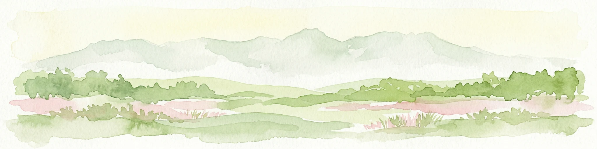
Watercolor illustration showing mountains in the background, green vegetation, and pink meadows
National parkWestern Australia
32 km away#2 closest

East

Fitzgerald River National Park: A Western Australian Protected Landscape of Global Botanical Importance

Discover its mapped terrain, endemic flora, and UNESCO Biosphere Reserve status.

Fitzgerald River National Park stands as a protected landscape of immense ecological value in Western Australia. This national park is celebrated for its extraordinary botanical diversity, featuring more endemic plant species than any other conservation reserve in Australia. Its varied terrain, from rugged mountain ranges to coastal cliffs, provides a rich tapestry of natural habitats. As a designated UNESCO Biosphere Reserve, it offers a unique opportunity to explore mapped geographic features and understand the critical role of protected areas in conserving rare flora and distinct Mediterranean ecosystems.

Area
2,972.11 km²
Established
1973
IUCN
II
Visitors
40K annual
Nature reserveWestern Australia
About 36 km away#3 closest

Southwest

Yarrabee Wesfarmers Reserve: Mapping Woodland Conservation and Regional Geography

A vital protected nature reserve in Western Australia

Yarrabee Wesfarmers Reserve forms a significant link in the regional landscape of Western Australia, protecting marri and jarrah woodland adjacent to the Stirling Range. Through ongoing restoration, the area maintains a mosaic of mallee and Banksia habitats, supporting regional species and contributing to broader environmental connectivity.

Area
9.23 km²
Established
2006
Relief
Upland
Climate
Mediterranean
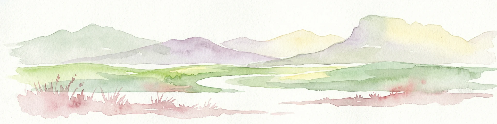
Watercolor illustration showing a landscape with mountains, a winding river, and grassy fields.
National parkWestern Australia
36 km away#4 closest

West

Stirling Range National Park: National Park Protected Area and Geographic Mapping

Discover its mapped boundaries and regional landscape context.

Stirling Range National Park is a protected national park in Western Australia, offering critical insights into regional geography and landscape mapping. This page provides structured information on the park's protected area status, its geographic setting, and its value for atlas-based exploration. Understand the extent of its mapped boundaries and discover its unique natural terrain within the broader context of Western Australia's vast geography.

Area
1,159.2 km²
Established
1913
IUCN
II
Relief
Mountain
National parkWestern Australia
52 km away#5 closest

Southwest

Hassell National Park National Park: Mapped Protected Landscape in Western Australia

Explore the geographic identity and park boundaries of Hassell National Park.

Hassell National Park offers a focused view of protected natural landscapes within Western Australia. This atlas entry details the park's specific geographic scope and its designation as a national park, providing essential context for understanding its mapped features and regional landscape. Explore how Hassell National Park contributes to the protected area geography of the state.

Area
12.65 km²
Established
1971
IUCN
II
Scope
Mixed
National parkWestern Australia
82 km away#6 closest

South

Waychinicup National Park: National Park Protected Landscape Atlas Entry

Explore Western Australia's mapped natural landscapes and park geography.

Gain a structured understanding of Waychinicup National Park as a key protected landscape within Western Australia. This detailed atlas entry focuses on its geographic distribution and mapped boundaries, providing essential context for regional park and natural landscape exploration. Discover the unique characteristics of this national park's setting and its place within the broader mapped terrain.

Area
39.82 km²
Established
1990
IUCN
II
Relief
Mixed relief
Marine protected areaWestern Australia
84 km away#7 closest

Southeast

Bremer Marine Park: An Offshore Atlas of Western Australia's Protected Marine Geography

Submarine canyon mapping and regional marine environment

Bremer Marine Park protects a vast, complex submarine landscape off the south coast of Western Australia. Dominated by the deep Bremer Canyon system, this protected area serves as a primary hub for studying deep sea geomorphology, coral gardens, and the nutrient-rich upwelling processes that define this unique section of the Southern Ocean.

Area
4,472 km²
Established
2013
IUCN
II
Relief
Mixed relief
National parkWestern Australia
94 km away#8 closest

Southwest

Porongurup National Park: Ancient Granite Peaks and Karri Forest Protected Landscape

Mapped terrain and geologic history in Western Australia.

Delve into Porongurup National Park, a protected landscape in Western Australia characterized by its ancient, billion-year-old granite peaks and a rare outlier of towering karri forest. This national park offers a unique geographic perspective, showcasing dramatic mountain terrain that has stood for eons. Explore the mapped boundaries and the distinct ecosystems that thrive within this ancient mountain system, providing rich context for regional atlas discovery and understanding the park's geological significance.

Area
26.21 km²
Established
1971
IUCN
II
Relief
Mountain
MoriAtlas Explorer

Explore the Mapped Geography and Protected Landscapes of Chereninup Creek Reserve

Continue your geographic exploration of Western Australia by studying the boundaries and natural features of Chereninup Creek Reserve. MoriAtlas provides detailed context on how this nature reserve bridges fragmented habitat zones through significant restoration and conservation efforts within the Great Southern region.