Mori Atlas logo
Park earthquake history

Review recorded seismic events, magnitudes, and epicentre proximity for this coastal landscape.

Historical Earthquake Records and Seismic Activity Catalogue for Curonian Spit National Park

This collection provides a structured view of historical earthquakes associated with the geographic footprint of Curonian Spit National Park. Users can examine event documentation, including recorded magnitudes, depths, and calculated distances from the park boundaries. The data catalogue relies on regional geological records to map seismic events near this protected Baltic coastal landscape.

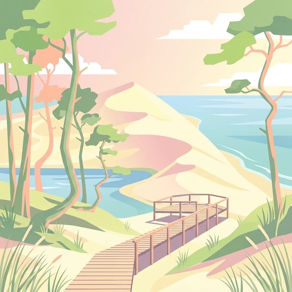
Stylized illustration of wooden boardwalk on sandy dunes with trees, Curonian Lagoon, and Baltic Sea

A UNESCO World Heritage landscape of shifting dunes and coastal ecosystems on Europe's longest sand spit

Curonian Spit National Park

Curonian Spit National Park protects the Russian-owned southern portion of the Curonian Spit, one of the world's longest sand spits, stretching 98 kilometers along the Baltic coast. Established in 1987, this 6,621-hectare protected area encompasses a remarkable array of coastal and transitional ecosystems where the Baltic Sea meets the Curonian Lagoon. The spit, formed approximately 15,000 years ago as glaciers receded, creates a dynamic landscape of shifting sand dunes reaching heights of 35 meters, beach ridges, wetlands, meadows, and forests in close proximity to one another. This unique depositional landform is recognized as a UNESCO World Heritage Site shared between Russia and Lithuania, representing one of the Baltic region's most significant natural and cultural landscapes.

Location
Russia
Park type
National park
Established
1987
Area
66 km²
Highest point
55 m
Curonian Spit National Park Atlas

Inspect Curonian Spit National Park dates, depths, places, and distances

Review recorded earthquakes around Curonian Spit National Park

Curonian Spit National Park covers 66 km² of Russian lowland coast, dunes, beach, wetland, and forest under mixed protection. This search lets readers inspect earthquake occurrence times, reported magnitudes and depths, source place names, and calculated separation from the park while avoiding unsupported conclusions about dune or lagoon impacts, boundary inclusion, or future conditions.

Sort by
Magnitude
Location

This page describes catalogued earthquakes associated with the park by epicentre location and distance. It does not establish causation, assess current danger, or predict future earthquakes.

No earthquake records match the current filters

Park atlas

Expand discovery beyond the Curonian Spit National Park earthquake catalogue

Find more protected parks after Curonian Spit National Park

Curonian Spit National Park covers 66 km² of Russian dunes, beach, wetlands, forest, and coast under mixed protection. Its related pages must be interpreted from their own seismic sources, not as sharing this park’s coastal setting, impacts, risk, or outlook.
Watercolor painting of a landscape with a river flowing through grassy fields, trees, and mountains in the background
National parkLithuania
Park boundaries overlap#1 closest

Northeast

Curonian Spit National Park

Exploring the narrow peninsula landscape of Lithuania

Curonian Spit National Park, in Lithuania. Landscapes: dunes, beaches, and coasts.

Area
264.74 km²
Established
1991
IUCN
II
Visitors
400K annual
A watercolor painting showing a wide, calm river winding through a flat, green delta landscape under a hazy sky.
Regional parkLithuania
About 2.7 km away#2 closest

Northeast

Nemunas Delta Regional Park: Mapping the Wetland Mosaic of the Lithuanian Coast

Explore the complex hydrology and floodplain geography of this Ramsar-listed regional park

Nemunas Delta Regional Park protects a unique river delta landscape shaped by seasonal floods and intricate water channels. Covering the lowlands where the Nemunas River reaches the Baltic Sea, the park is a primary site for ornithological research and wetland conservation, home to Rusnė Island and Lake Krokų Lanka. This protected area offers profound insight into coastal delta formation and the ecological importance of lowland floodplains.

Area
239.5 km²
Established
1992
Relief
Lowland
Climate
Temperate
Protected landscapeWarmian-Masurian Voivodeship
91 km away#3 closest

Southwest

Park Krajobrazowy Wysoczyzny Elbląskiej: Mapping Upland Terrain and Protected Forest Zones

Geography of a distinctive morainic plateau in northern Poland

Investigate the natural landscape of Park Krajobrazowy Wysoczyzny Elbląskiej, a protected area in the Warmian-Masurian Voivodeship. Focus on the interplay between stream valleys, morainic ridges, and rare plant communities. This mapping resource details the ecological significance of the upland terrain and its transition toward coastal lowland borders.

Area
137.32 km²
Established
1985
Relief
Upland
Climate
Temperate
Watercolor painting showing rolling hills, a lake, and green forests under a soft sky
National parkLithuania
92 km away#4 closest

Northeast

Žemaitija National Park: Mapped Glacial Terrain and Samogitian Protected Landscape

Explore protected areas and natural geography in Northwestern Lithuania.

Žemaitija National Park is a protected natural reserve in Lithuania, defined by its distinctive glacially sculpted landscape. This park preserves over 217 square kilometers of hilly terrain, featuring significant lake systems like Lake Plateliai and substantial forest cover interspersed with wetlands. Users can explore the park's unique topographic character, its mapped geographic features, and its role as a vital protected area within the Samogitian region, offering a rich context for atlas-based discovery.

Area
217.54 km²
Established
1991
IUCN
II
Relief
Highland
A soft watercolor illustration depicting a river valley with green vegetation, rolling hills, and marshy banks, rendered in light washes.
Nature reserveWarmian-Masurian Voivodeship
About 97 km away#5 closest

Southwest

Rezerwat przyrody Dolina Stradanki: Protected Forest and River Valley Geography

Nature reserve within the Warmian-Masurian Voivodeship

Rezerwat przyrody Dolina Stradanki is a critical protected area in northern Poland, known for its intricate system of side valleys and mature beech forest. This reserve integrates hydrological and biological values, functioning as a key ecological unit within the Elbląg Upland Landscape Park. Explore the map of this glacial valley, which provides a high-quality habitat for diverse avifauna and protected flora.

Area
1.211 km²
Established
2006
Relief
Upland
Scope
Terrestrial
A horizontal watercolor illustration of a lake landscape, featuring soft greens and pinks, showing marshy foreground vegetation, calm water, islands, and a distant treeline.
Nature reserveWarmian-Masurian Voivodeship
About 98 km away#6 closest

Southeast

Rezerwat przyrody Jezioro Siedmiu Wysp: Protected Wetland Geography and Map Overview

Wetland ecosystems in the Warmian-Masurian Voivodeship

Examine the geographic layout of Rezerwat przyrody Jezioro Siedmiu Wysp, encompassing Lake Oświn, the Oświnka River corridor, and extensive peat-forming marshes. This protected area offers insight into Masurian wetland dynamics, including the interplay between open water, meadow grazing by konik polski horses, and critical habitats for diverse waterfowl populations across the Polish border region.

Area
17.63 km²
Established
1956
Relief
Lowland
Climate
Temperate
Nature reserveWarmian-Masurian Voivodeship
About 102 km away#7 closest

South

Rezerwat przyrody Mokradła Żegockie: Nature Reserve Map and Protected Landscape Overview

Lowland marshland habitat in the Warmian-Masurian Voivodeship of Poland

This nature reserve preserves a shallow, boggy depression surrounded by agricultural plains. It is recognized for its bird-rich ecosystem, containing open water, reedbeds, and willow shrubs that returned after the collapse of historic drainage works. Use this atlas resource to understand the park's terrain, mapped boundaries, and environmental role within the local geography.

Area
0.336 km²
Established
1991
Relief
Lowland
Scope
Terrestrial
An illustration depicting a coastal landscape with green forests along a sandy shoreline meeting calm, stylized water under a pastel sunset sky.
Protected landscapePoland
About 102 km away#8 closest

Southwest

Zalew Wiślany i Mierzeja Wiślana Protected Landscape and Vistula Coastal Geography

A coastal mosaic of lagoon waters, sand dunes, and bog forests

Understand the physical landscape of Zalew Wiślany i Mierzeja Wiślana, featuring an aquatic environment where three quarters of the territory consists of brackish water. Trace the geography of the Vistula Sandspit as it transitions through dune successions, pine-birch woodlands, and sensitive estuarine meadows along the Polish coast.

Area
408.623 km²
Relief
Lowland
Climate
Temperate
Scope
Mixed
MoriAtlas Explorer

Curonian Spit National Park

Explore the map, landscapes, and protection details for Curonian Spit National Park.

Global natural geography